En
Log in
All resources
Create a design
Tools
16,754 Free Images of Language
bibliothèque nationale de france
historical
history
marco boschini
maps of the islands of greece by marco boschini (1658)
cc-zero
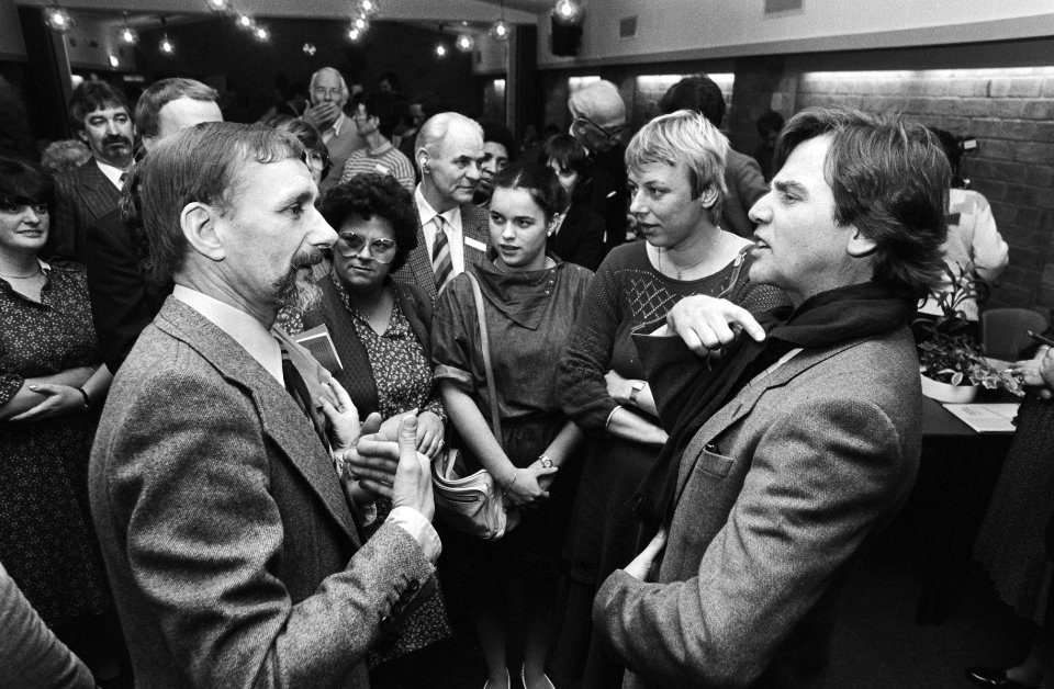
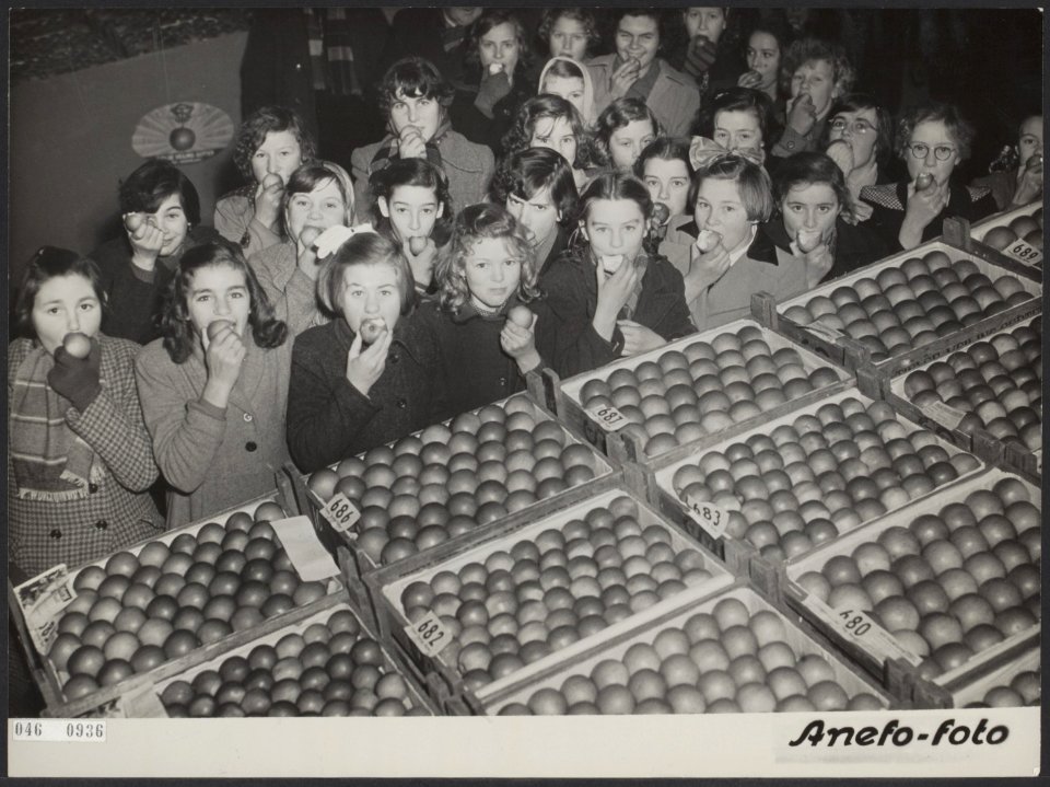
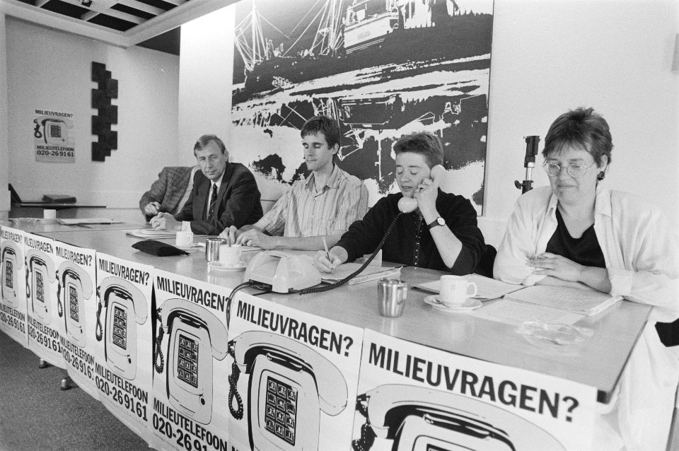
images from nationaal archief
images from anefo
context files from gallica
english language
bibliothèque nationale de france
guillaume sanson
maps of ports and fortresses of the mediterranean by marco boschini (1651)
bibliothèque nationale de france
bibliothèque nationale de france
guillaume sanson
old maps of norway
guillaume sanson
maps by pieter van der keere
maps by abraham ortelius
maps of neuss by braun & hogenberg
maps of bonn by braun & hogenberg
chorographia britanniae (1741-1742)
18th-century maps of essex
maps of circumnavigations of the world
1740s maps of the world
17th-century double hemisphere world maps
mercator 1587 world map
maps by alexis-hubert jaillot
old maps of the tyrol
baroque,dutch golden age painting
1907 books
maps of mombasa by braun & hogenberg
maps of aden by braun & hogenberg
maps by john cary
1799 maps
1900 landscape paintings from denmark
paintings by august fischer
eran laor cartographic collection
claes jansz. visscher (ii)
maps of frankfurt (oder) by braun & hogenberg
maps of wittenberg by braun & hogenberg
maps of landrecies by braun & hogenberg
maps of beaumont by braun & hogenberg
fuente de las nereidas by lola mora
classicism
😃 emoji
hands
mozilla firefox os 2.5
alphabet
😃 emoji
alphabet
😃 emoji
hands
😃 emoji
face
electronics
technology
hands
ok
typography
music
business
hands
ornament
heart
ornament
wine
alphabet
ribbon
maps of the islands of greece by marco boschini (1658)
old maps of kythnos
17th-century maps of the holy roman empire
maps by pieter van der keere
1750s maps of the netherlands
hendrik de leth
bibliothèque nationale de france
guillaume sanson
a map of the british empire in america with the french and spanish settlements adjacent thereto
1730s maps of central america
bibliothèque nationale de france
braun/hogenberg dreizehn orte
maps of the islands of greece by marco boschini (1658)
old maps of andros
description of the nobility of hainaut by braun & hogenberg
bibliothèque nationale de france
1667 sanson map of africa
1702 maps of africa
maps of béthune by braun & hogenberg
bibliothèque nationale de france
maps of the islands of greece by marco boschini (1658)
old maps of naxos
territorium argentoratense (1652 map)
bibliothèque nationale de france
maps of the islands of greece by marco boschini (1658)
old maps of leros
bibliothèque nationale de france
sanson maps of the holy land
bibliothèque nationale de france
prints by martin engelbrecht
bibliothèque nationale de france
carolus allard
maps of the islands of greece by marco boschini (1658)
old maps of amorgos
map of the strait of kerch by guillaume sanson
bibliothèque nationale de france
maps of brno by braun & hogenberg
bibliothèque nationale de france
map of ancient asia minor by philippe de la rué
bibliothèque nationale de france
maps by willem and johannes blaeu
17th-century maps of xaintonge
maps of liège by baptista van doetecum
maps by abraham ortelius
arnold van langren map of southwest africa
renaissance
a topographical map of the county of berks (1761)
bibliothèque nationale de france
cartouches by willem and johannes blaeu
bibliothèque nationale de france
16th-century maps of switzerland
ferrando bertelli
a topographical map of the county of berks (1761)
bibliothèque nationale de france
maps by willem and johannes blaeu
old maps of berry
women of morocco in art
georges bretegnier
historical
history
historical
history
historical
history
historical
history
historical
history
historical
history
historical
history
eran laor cartographic collection
gerard de jode
eran laor cartographic collection
gerard de jode
grzegorz fitelberg
fritz reiner
jean-françois-thérèse chalgrin
academic art
historical
history
historical
history
historical
history
historical
history
historical
history
historical
history
landscape
building
historical
history
historical
history
maps of bordeaux by braun & hogenberg
maps of nîmes by braun & hogenberg
geological maps of england
william smith (geologist)
maps of peñón de vélez by braun & hogenberg
maps of tunis by braun & hogenberg
laurens reael
willem blaeu
maps of the islands of greece by marco boschini (1658)
history of ios
maps of the islands of greece by marco boschini (1658)
history of mykonos
maps of saint paul's journeys
maps by thomas starling
maps of the islands of greece by marco boschini (1658)
context files from gallica
texts about india
willem blaeu
a map of the british empire in america with the french and spanish settlements adjacent thereto
1730s maps of the caribbean
chodorlahomoris aelamitarum regis et confoederatorum regna ; seu aelamitarum imperium, antiquitati a gulielmo sanson restitutum, magnas repraesentans regiones a mari aegaeo ad indumusque fluvium quibus... - btv1b531793037
guillaume sanson
maps of the islands of greece by marco boschini (1658)
context files from gallica
maps of the islands of greece by marco boschini (1658)
history of leros
old county maps of hertfordshire
maps by thomas kitchin
theatrum historium ad annum christi quadringentesinum by guillaume delisle (1705)
1740s maps showing history
context files from gallica
history of andros
maps from gallica
old maps of paris
maps by alexis-hubert jaillot
sanson maps of the holy land
old maps of milos
maps facing east
maps of peñón de vélez by braun & hogenberg
maps of tunis by braun & hogenberg
maps of the islands of greece by marco boschini (1658)
history of patmos
13701 - 13800 of 16,754
Next page
/ 168