En
Log in
All resources
Create a design
Tools
4,562 Free Artworks of Scale
bibliothèque nationale de france
marco boschini
maps of the islands of greece by marco boschini (1658)
context files from gallica
gigapixel examples
gigapixelai
map collection of leibniz-institut für länderkunde
maps from the earth and its inhabitants, vol. vi
tranquillo mollo
maps of ports and fortresses of the mediterranean by marco boschini (1651)
1780s maps of tunisia
1780s maps of libya
biblioteca di storia e cultura del piemonte "giuseppe grosso"
maps by hendrik hondius the younger
maps of innsbruck by braun & hogenberg
alexandre colyn
maps of polná by braun & hogenberg
bibliothèque nationale de france
maps of the islands of greece by marco boschini (1658)
old maps of samos
maps of mexico city by braun & hogenberg
maps of cusco by braun & hogenberg
maps of schwäbisch hall by braun & hogenberg
bibliothèque nationale de france
maps of heide by braun & hogenberg
bibliothèque nationale de france
maps of bonn by braun & hogenberg
bibliothèque nationale de france
maps of alhama de granada by braun & hogenberg
bibliothèque nationale de france
18th-century maps of england and wales
chorographia britanniae (1741-1742)
chorographia britanniae (1741-1742)
bibliothèque nationale de france
description of the nobility of hainaut by braun & hogenberg
bibliothèque nationale de france
maps of the islands of greece by marco boschini (1658)
old maps of psarà
maps of bamberg by braun & hogenberg
bibliothèque nationale de france
maps of aalst by braun & hogenberg
peter von brachel
stonehenge in art
joan blaeu
maps of the islands of greece by marco boschini (1658)
old maps of kalogeros islets
maps of huy by braun & hogenberg
bibliothèque nationale de france
chorographia britanniae (1741-1742)
bibliothèque nationale de france
maps of st. gallen by braun & hogenberg
maps of konstanz by braun & hogenberg
caricatures of c. i. stăncescu by nicolae petrescu-găină
illustrations of top hats
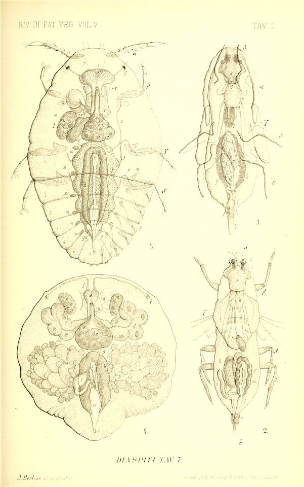
scale insects
bhl
maps of neuss by braun & hogenberg
maps of bonn by braun & hogenberg
sculptures in the salzburg museum
sattler-panorama
gabriel bengtsson oxenstierna
baroque
tian shan
alps
alay mountains
alay district
gigapixel examples
checkflicr2
maps of the islands of greece by marco boschini (1658)
old maps of the peloponnese
context files from gallica
history of icaria
francesco nicolini
old maps of ikaria
maps by guillaume sanson
old maps of friesland
gigapixel examples
checkflicr2
gigapixel examples
checkflicr2
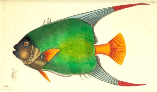
the naturalist's miscellany - george shaw
checkflicr2
maps of the islands of greece by marco boschini (1658)
old maps of kea (cyclades)
maps of dordrecht by braun & hogenberg
bibliothèque nationale de france
maps of halberstadt by braun & hogenberg
maps of quedlinburg by braun & hogenberg
maps of enns by braun & hogenberg
bibliothèque nationale de france
maps of the islands of greece by marco boschini (1658)
old maps of rhodes
maps of haarlem by braun & hogenberg
bibliothèque nationale de france
maps of formia by braun & hogenberg
bibliothèque nationale de france
description of the nobility of hainaut by braun & hogenberg
bibliothèque nationale de france
maps of gmunden by braun & hogenberg
bibliothèque nationale de france
maps of the islands of greece by marco boschini (1658)
context files from gallica
maps of the islands of greece by marco boschini (1658)
old maps of delos
chorographia britanniae (1741-1742)
england in the 1740s
uss indiana (battleship no. 1) (ship, 1895)
columbian exposition issue
old maps of montenegro
old maps of dubrovnik
engravings by romeyn de hooghe
parc d’enghien in art
tsuga canadensis (illustrations)
a guide to the trees
maps of the iberian peninsula by guillaume delisle
1700s maps of the iberian peninsula
maps from the earth and its inhabitants, vol. vi
shchurovsky glacier
bhagavata purana
rati devi
maps from the earth and its inhabitants, vol. vi
shchurovsky glacier
drawings by nicolai abraham abildgaard in the statens museum for kunst
pen and brown ink
1730s maps of the netherlands
1730 maps
captioned scans from das ständebuch
woodcuts of artisans
scale models of scenic designs
operetta
grenzkarte der preussischen, russischen und oestreichischen monarchien (1796)
title pages
map collection of leibniz-institut für länderkunde
maps of portugal by fernando álvares seco
alay mountains
alay district
grenzkarte der preussischen, russischen und oestreichischen monarchien (1796)
maps of polotsk governorate
gigapixel examples
checkflicr2
gigapixel examples
checkflicr2
gigapixel examples
checkflicr2
maps of the islands of greece by marco boschini (1658)
history of milos
maps of the islands of greece by marco boschini (1658)
history of anafi
maps of meldorf by braun & hogenberg
maps of heide by braun & hogenberg
maps of the islands of greece by marco boschini (1658)
history of nisyros
old maps of the tyrol
south tyrol
maps of the islands of greece by marco boschini (1658)
history of paros
old maps of seville
baroque
map collection of leibniz-institut für länderkunde
1800s maps of the world
old maps of antiparos
old maps of paros
maps of the islands of greece by marco boschini (1658)
history of naxos
maps of the islands of greece by marco boschini (1658)
history of tilos
vasily surikov
realism
context files from gallica
history of amorgos
maps of the islands of greece by marco boschini (1658)
history of kythnos
1690s maps of greece
maps from gallica
maps of the islands of greece by marco boschini (1658)
history of kalymnos
old maps of milos
maps facing east
old hemisphere world maps (partner files)
1800s maps of the world
context files from gallica
history of andros
maps of the islands of greece by marco boschini (1658)
history of patmos
old maps of the tyrol
south tyrol
maps of the islands of greece by marco boschini (1658)
context files from gallica
atlas géographique des quatre parties du monde (delisle)
18th-century maps of france
maps of ports and fortresses of the mediterranean by marco boschini (1651)
bibliothèque nationale de france
atlas géographique des quatre parties du monde (delisle)
french-language title pages
maps of ports and fortresses of the mediterranean by marco boschini (1651)
old maps of kythira
bibliothèque nationale de france
guillaume sanson
atlas géographique des quatre parties du monde (delisle)
folded maps
abbildung des ohrts iringen und wie selbiger von georg fridrichen margrafen zu baden verschantzet worden, anno 1621 - btv1b53238701j
baroque
maps of ports and fortresses of the mediterranean by marco boschini (1651)
bibliothèque nationale de france
maps of ports and fortresses of the mediterranean by marco boschini (1651)
bibliothèque nationale de france
maps of ports and fortresses of the mediterranean by marco boschini (1651)
bibliothèque nationale de france
atlas géographique des quatre parties du monde (delisle)
map of europe by guillaume delisle (1700)
1301 - 1400 of 4,562
Next page
/ 46