En
Log in
All resources
Create a design
Tools
38,646 Free Artworks of Maps
maps in the library of congress
mitchell's school atlas
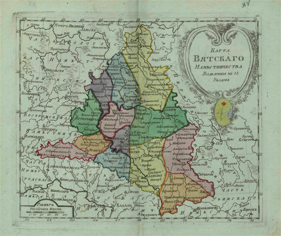
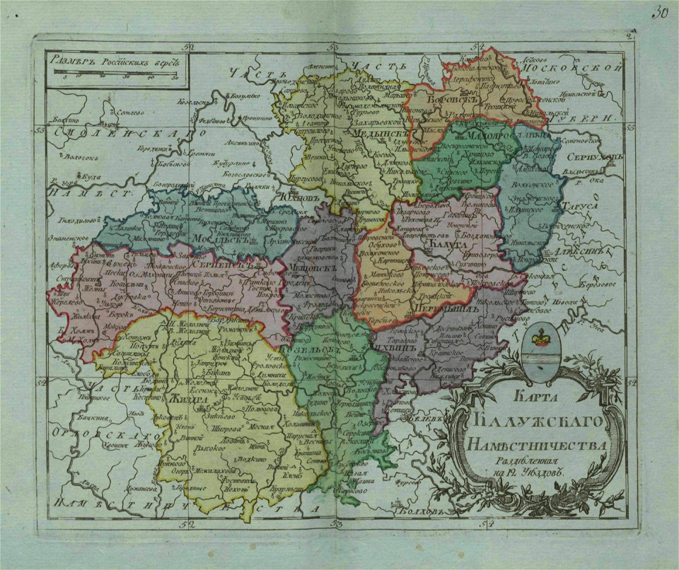
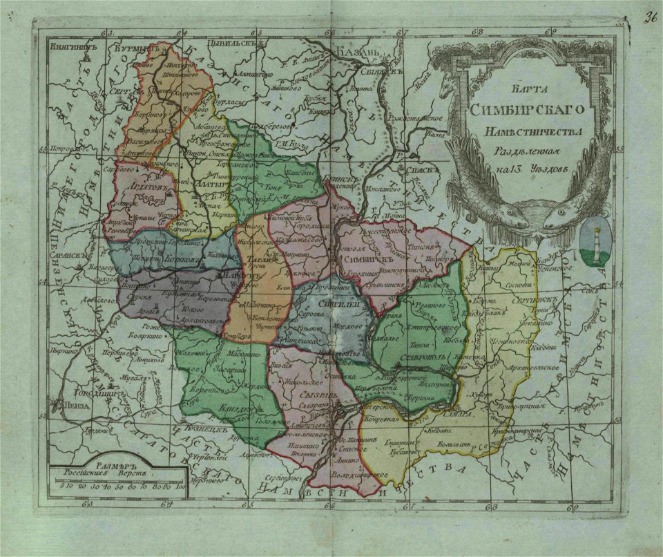
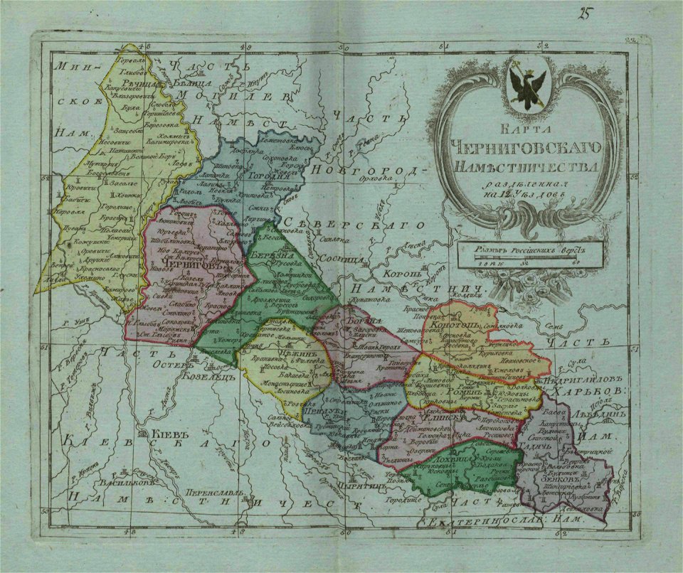
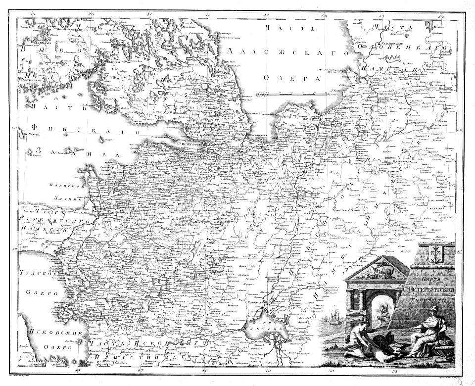
small atlas of the russian empire (1796)
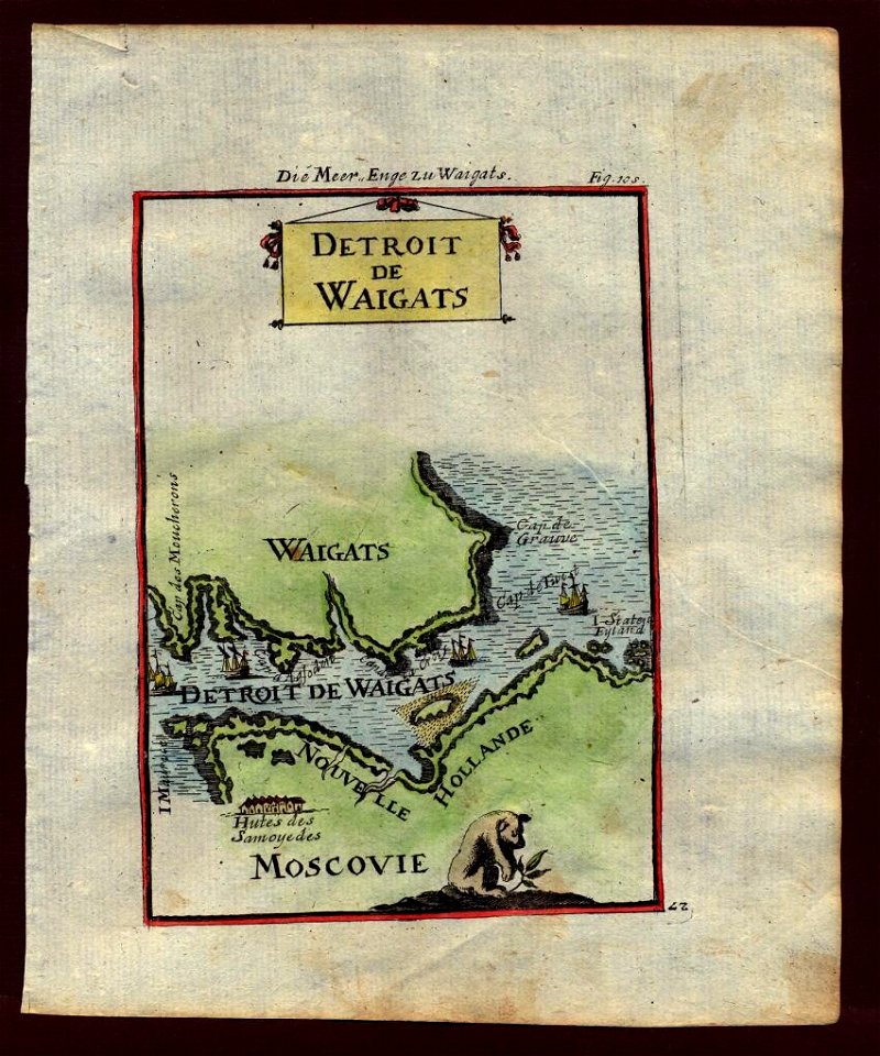
description de l'universe
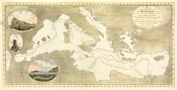
charts and maps of the royal museums greenwich
braun & hogenberg
maps with cartouches
atlas van der hagen
gerard valck
geographical illustrations by coronelli
small atlas of the russian empire (1796)
small atlas of the russian empire (1796)
small atlas of the russian empire (1796)
description de l'universe
northern europe
travels to and from constantinople (1829)
everett d. graff collection of western americana
everett d. graff collection of western americana
small atlas of the russian empire (1796)
small atlas of the russian empire (1796)
niedersächsisches landesarchiv
historical maps of lüneburg
maps of berlin-wannsee
böttcherberg
images from the new student's reference work
maps of constantinople
nikolskoe (berlin)
1848 maps
geographical illustrations by coronelli
old maps of the peloponnese
small atlas of the russian empire (1796)
illustrations from letters from england
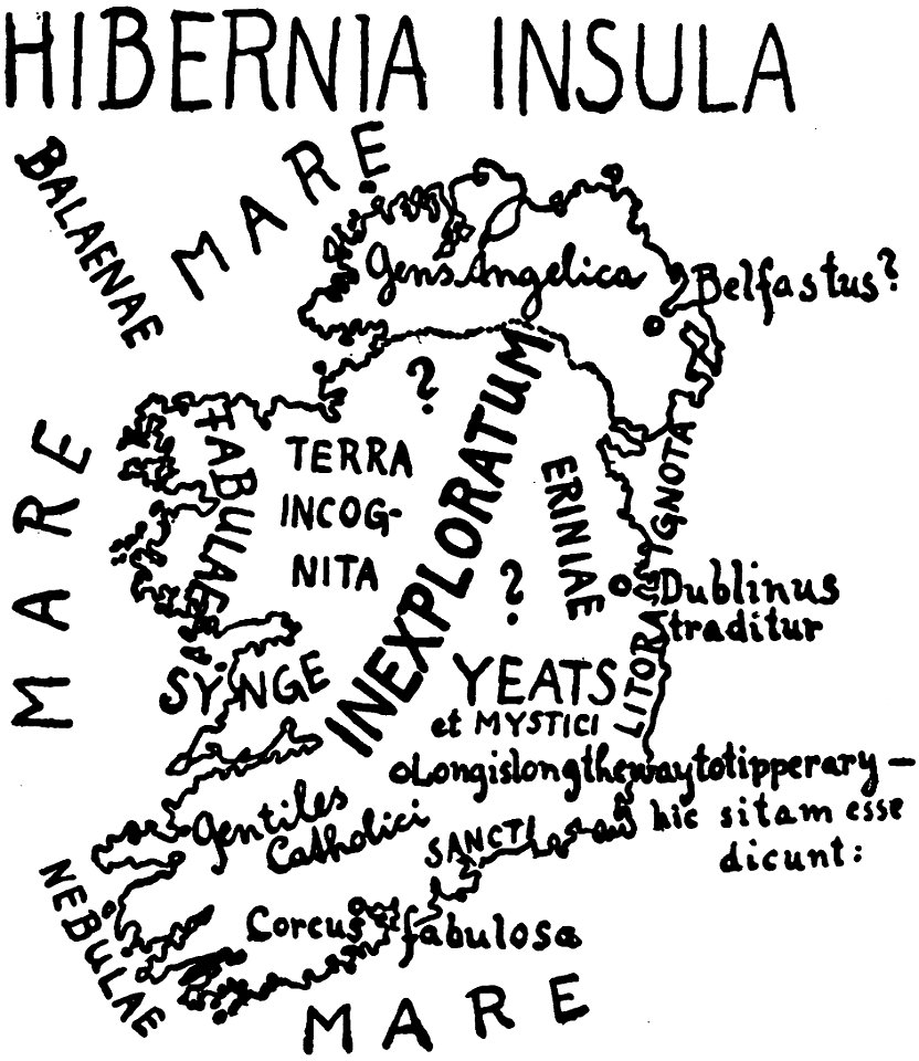
maps of ireland
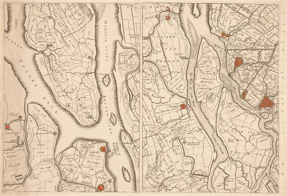
maps in the amsterdam museum
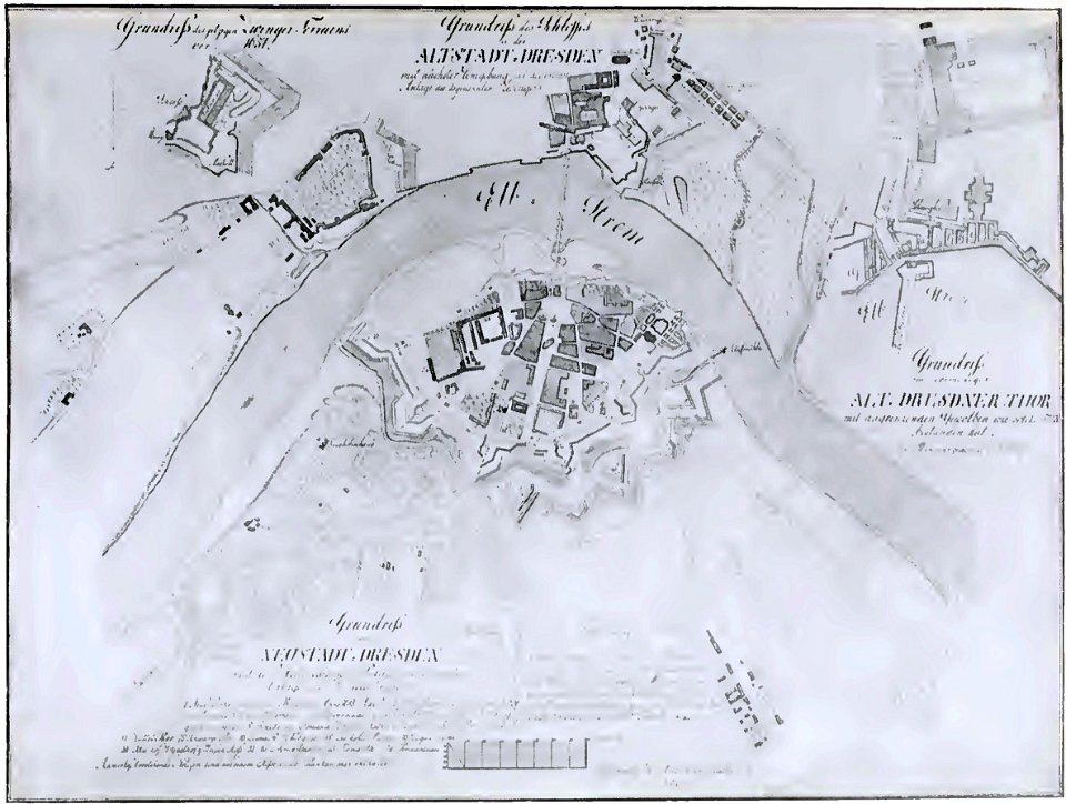
dresden (schumann)
innere neustadt
old maps of saint petersburg governorate
atlas of the russian empire (1792)
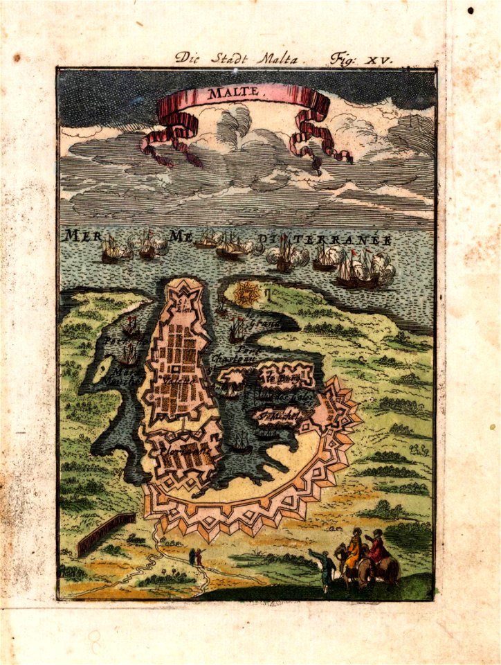
description des principales villes (1690)
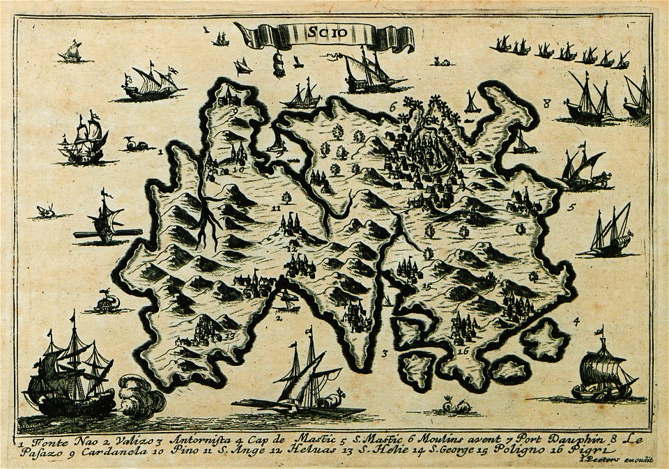
maps of chios
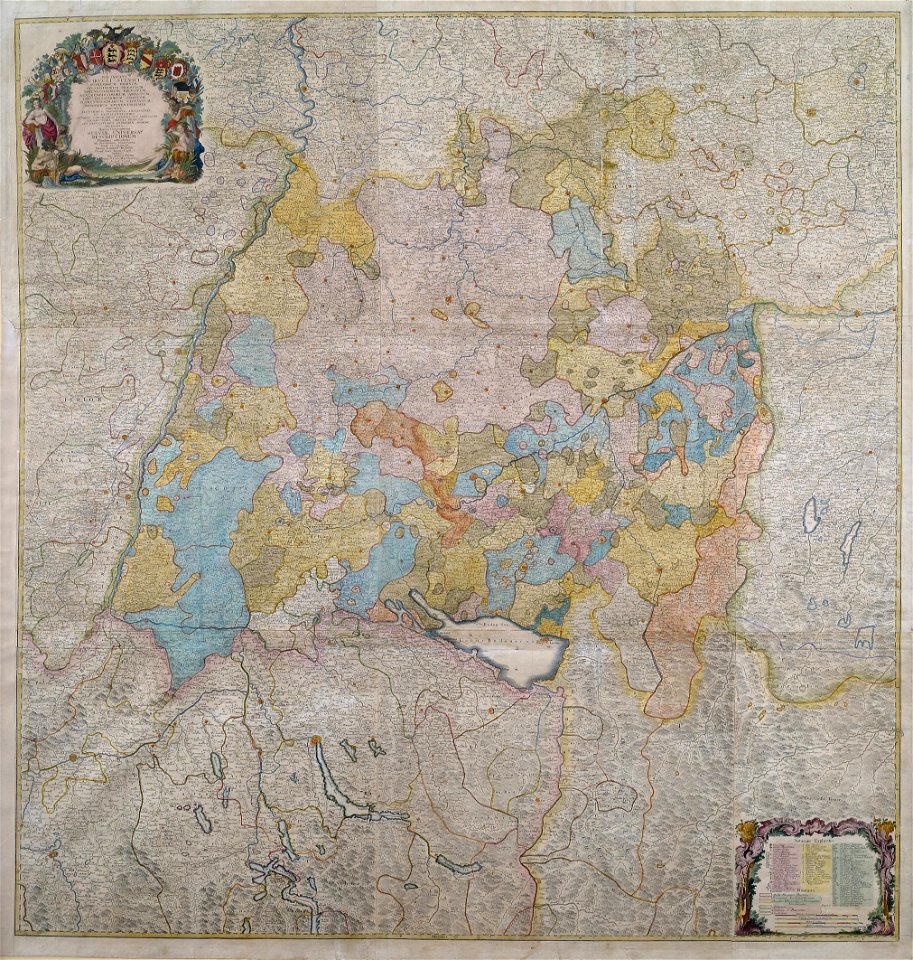
1750s maps of baden-württemberg
swabian circle
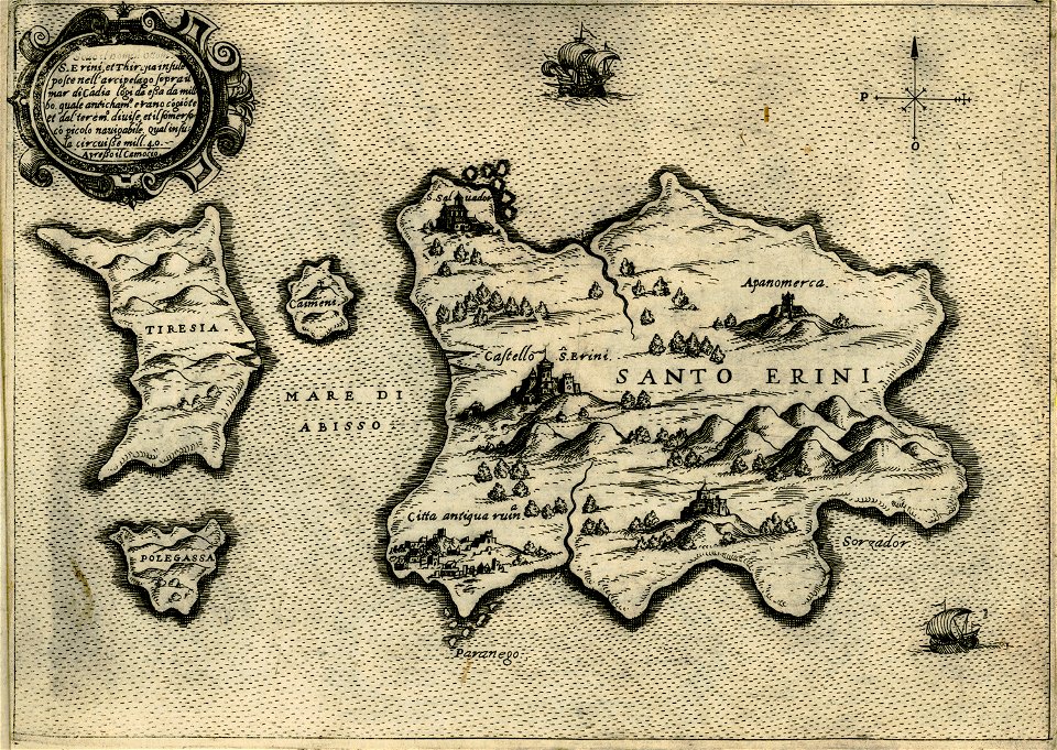
maps about santorini
giovanni camocio
geographical illustrations by coronelli
sazan
maps in the stadsarchief amsterdam
romeyn de hooghe
schauplatz der fünf theile der welt
old maps of lusatia
description des principales villes (1690)
maps of samos
charts and maps of the royal museums greenwich
joan martines
old maps of szczecin
frans hogenberg
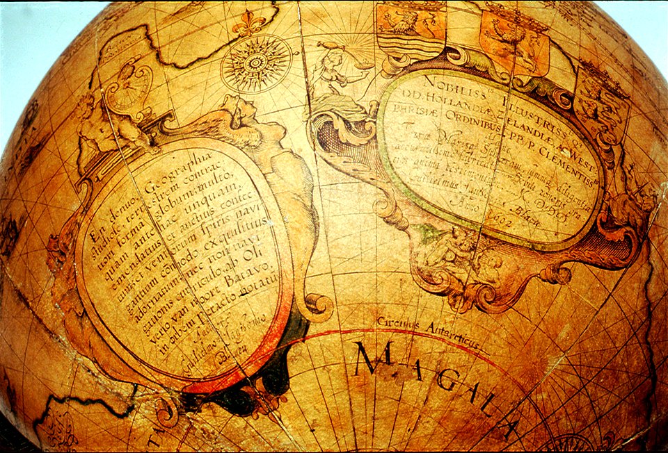
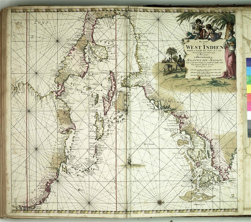
west-indische compagnie
1671
braun & hogenberg
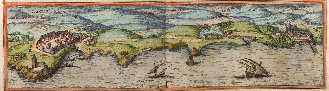
cascais
braun & hogenberg
1572 engravings
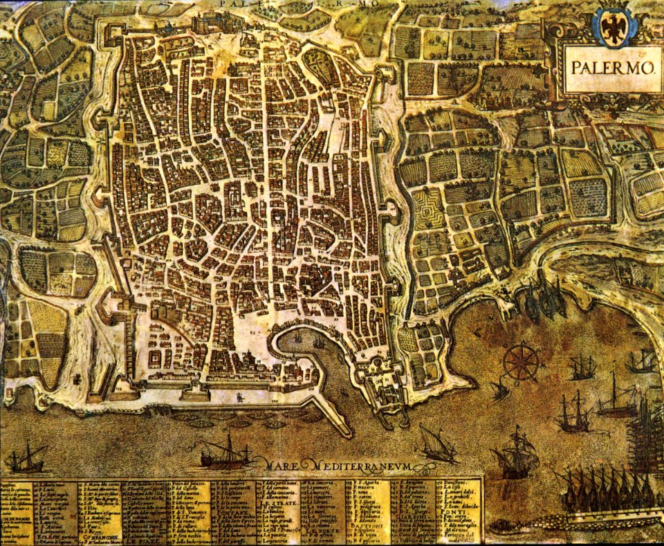
palermo
1581
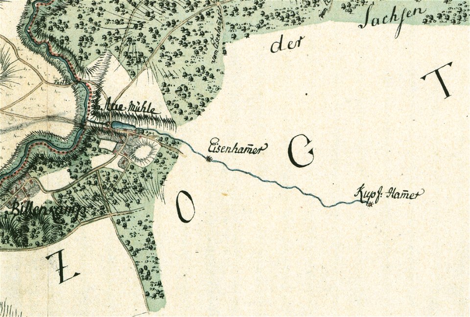
maps by gustav adolf von varendorf
sachsenwald
charts and maps of the royal museums greenwich
description de l'universe
1710s maps of the world
description de l'universe
1680s maps of the world
description de l'universe
old maps of the world
old maps of alsergrund
carl graf vasquez
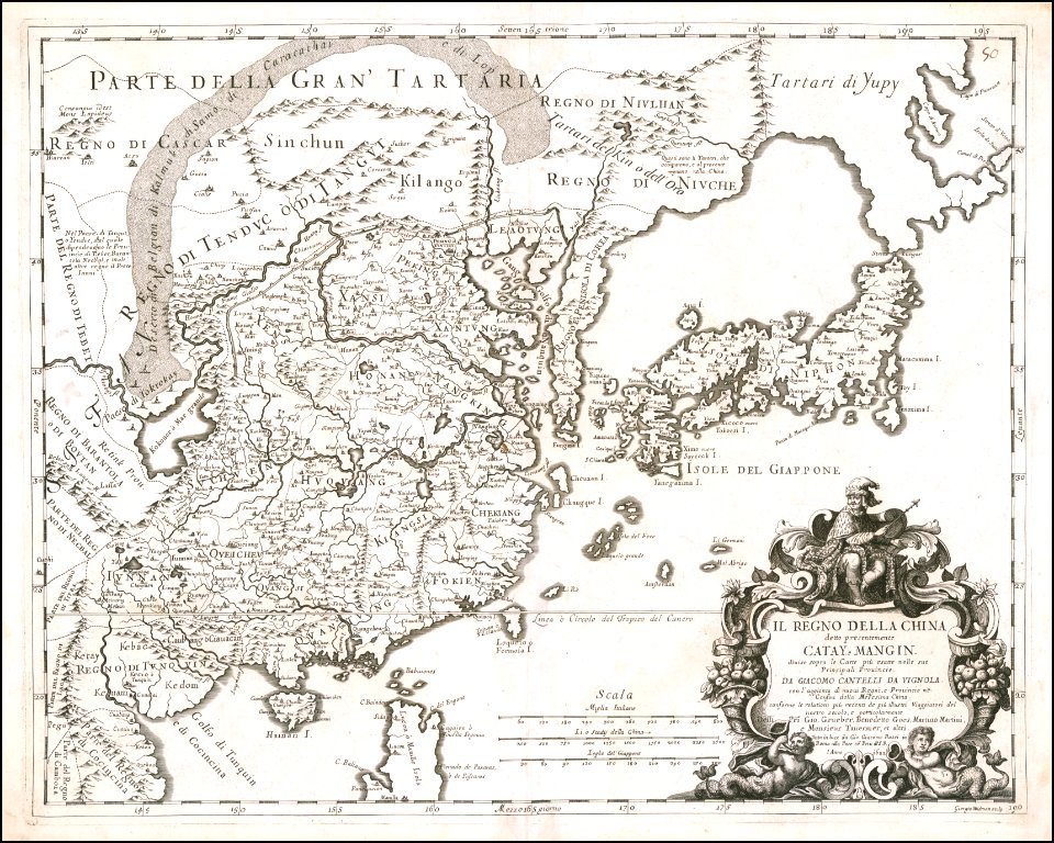
giacomo cantelli da vignola
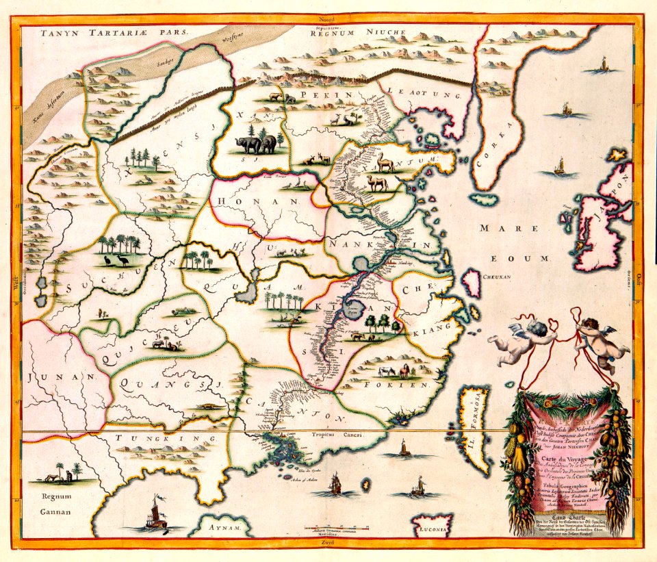
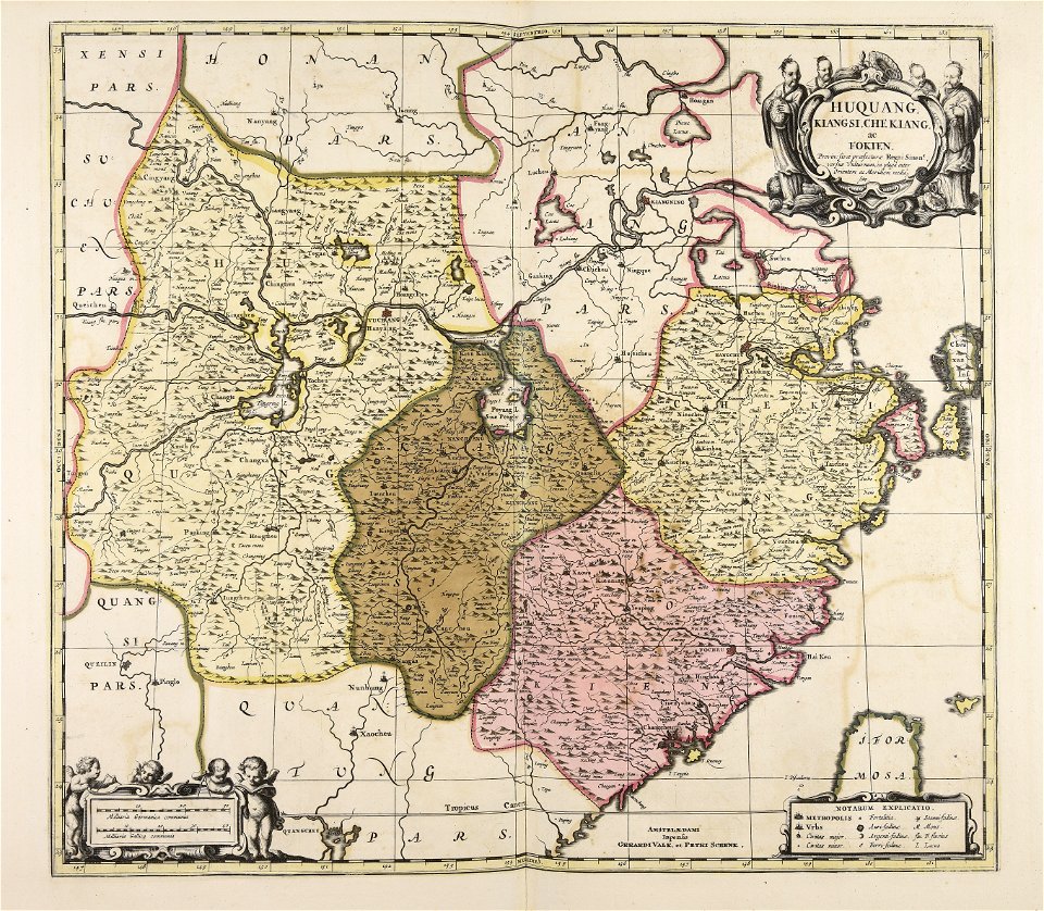
17th-century maps of china
maps with cartouches
maps with cartouches
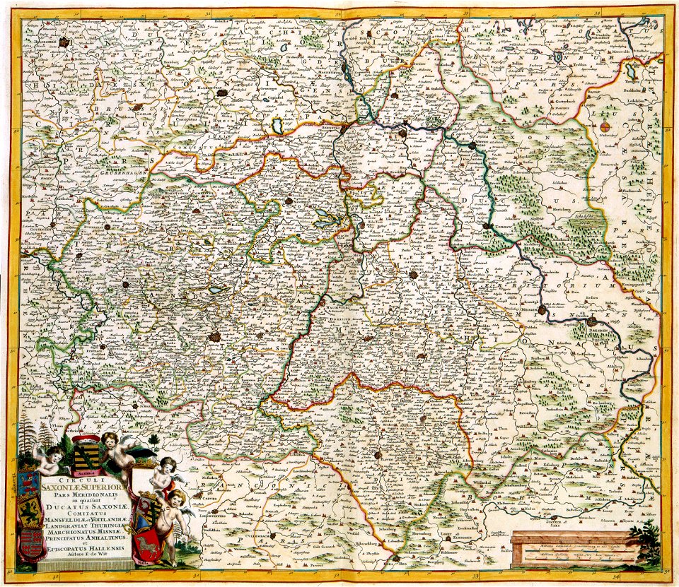
old maps of saxony
italy
grado
gerard valck
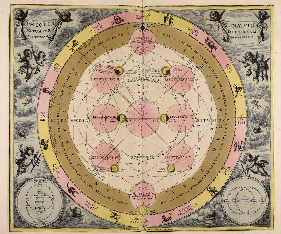
moon
maps made in the 18th century
gerard valck
maps made in the 17th century
gerard valck
artworks without wikidata item
17th-century prints
images from metropolitan museum of art (paris project)
jardin des plantes
historical images of the pont saint-michel
rue de la huchette (paris)
maps with cartouches
atlas van der hagen
schloss friedenstein (gotha)
gotha
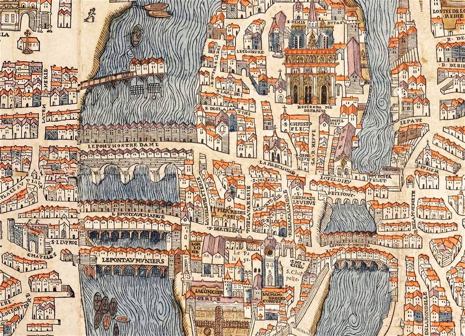
maps of paris from paris musées
plan de jaillot (1775)
maps in utrecht university library
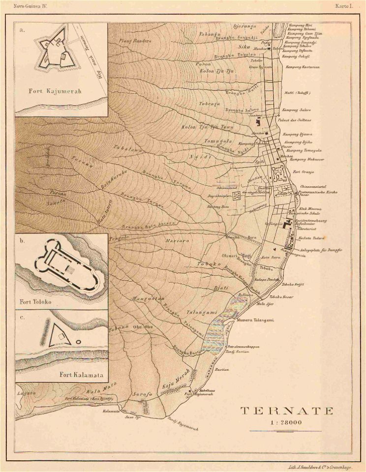
indonesia
maps with cartouches
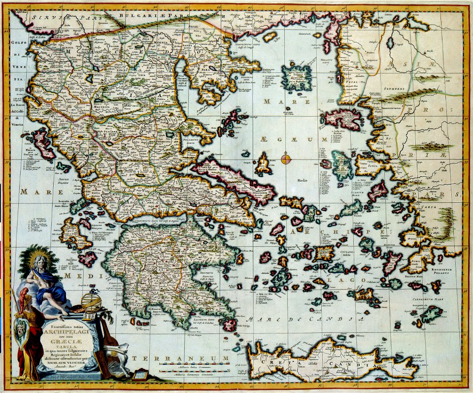
old maps of greece
fonds ancely - bibliothèque municipale de toulouse - maps
françois arago
chromolithograph
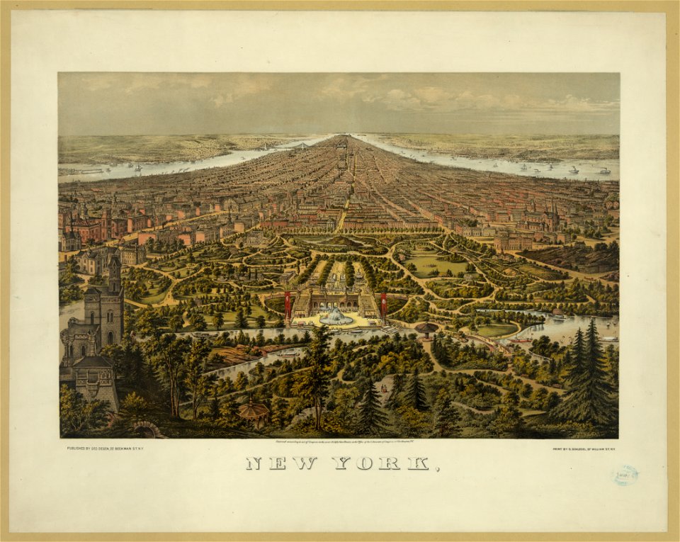
new york city
chromolithograph
new york city
maps made in the 18th century
gerard valck
utrecht
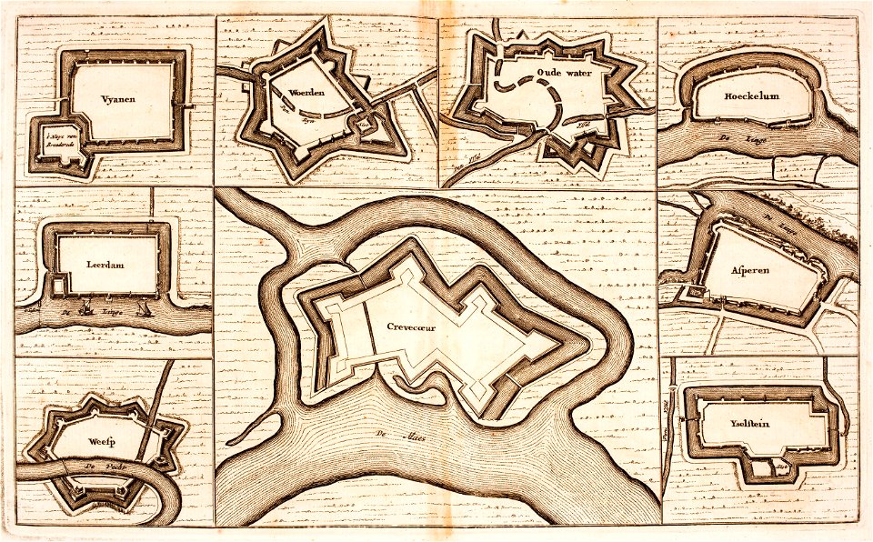
leerdam
printing
london
description de l'universe
old maps of valletta
maps in the library of congress
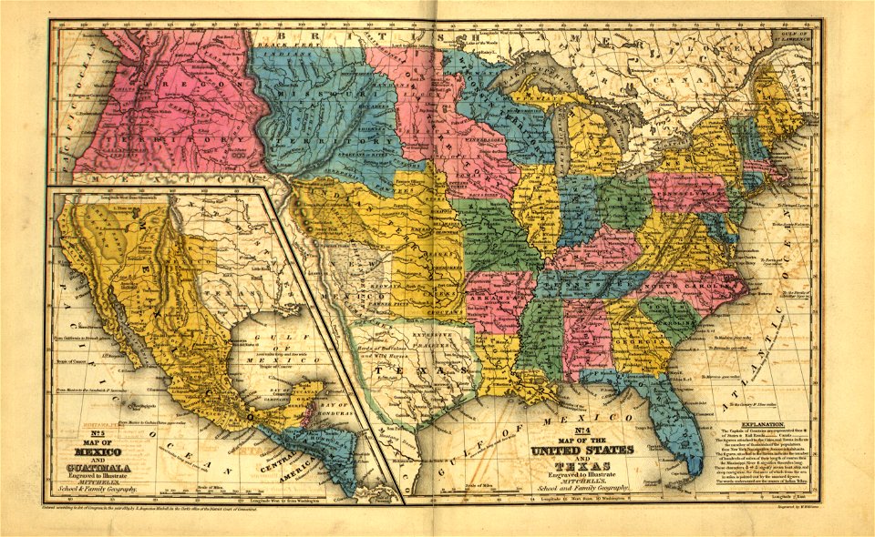
mitchell's school atlas
maps in the library of congress
mitchell's school atlas
maps in the library of congress
mitchell's school atlas
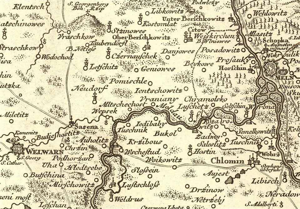
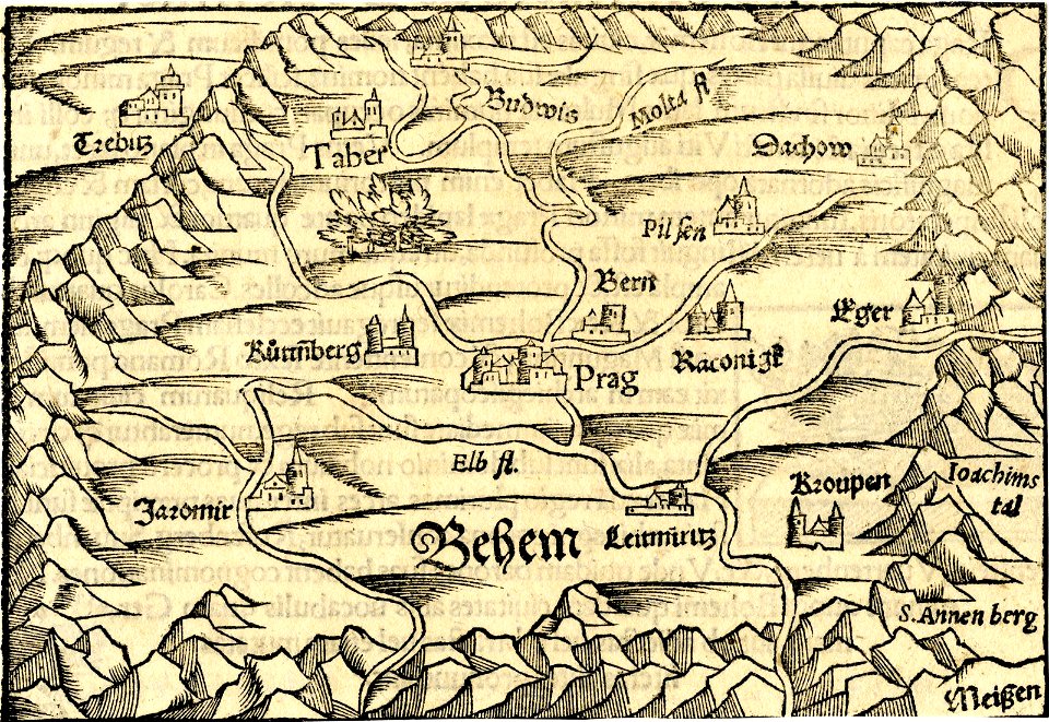
details of müller's map of bohemia
dušníky nad vltavou
geographical illustrations by coronelli
old maps of the peloponnese
bibliothèque municipale de reims
rès. g 152
maps and topographical views by joris hoefnagel
historical images of oradea
details of müller's map of bohemia
libotenice
maps in the library of congress
mitchell's school atlas
maps in the library of congress
mitchell's school atlas
maps in the library of congress
mitchell's school atlas
maps in the library of congress
mitchell's school atlas
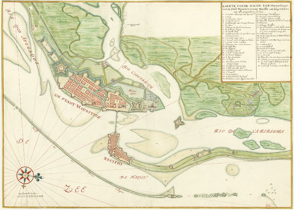
old maps of dutch brazil
1665
ducatus sleswicum sive justia australis
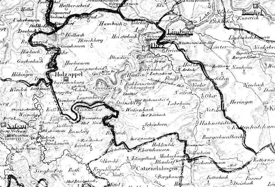
germany
1828
diez
nastätten
1828
grandville (caricaturist)
people with maps in art
charts and maps of the royal museums greenwich
vignettes in 1830 vienna map series by carl graf vasquez
laimgrubenkirche
drawings in the museu antônio parreiras
engravings of topographia bohemiae moraviae et silesiae
history of kolín
german prints in the rijksmuseum amsterdam
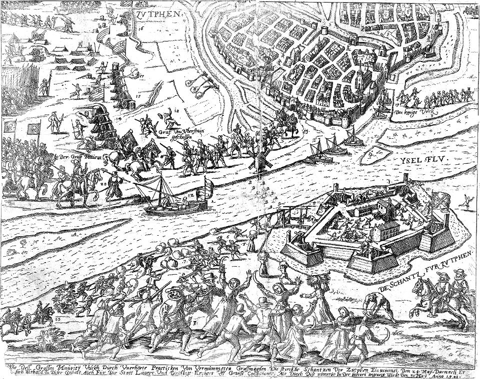
old maps of zutphen
charts and maps of the royal museums greenwich
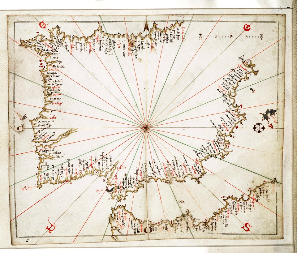
joan martines
charts and maps of the royal museums greenwich
book illustrations in the british museum
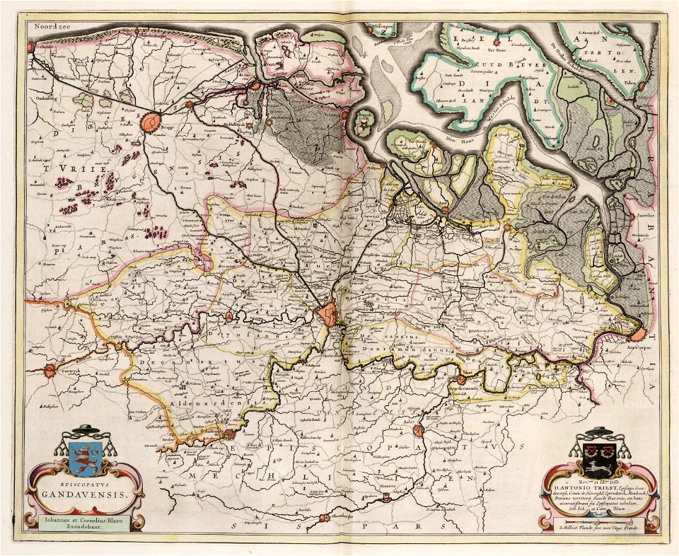
old maps of ghent
atlas van loon
maps and topographical views by joris hoefnagel
castle of szolnok
engravings of topographia bohemiae moraviae et silesiae
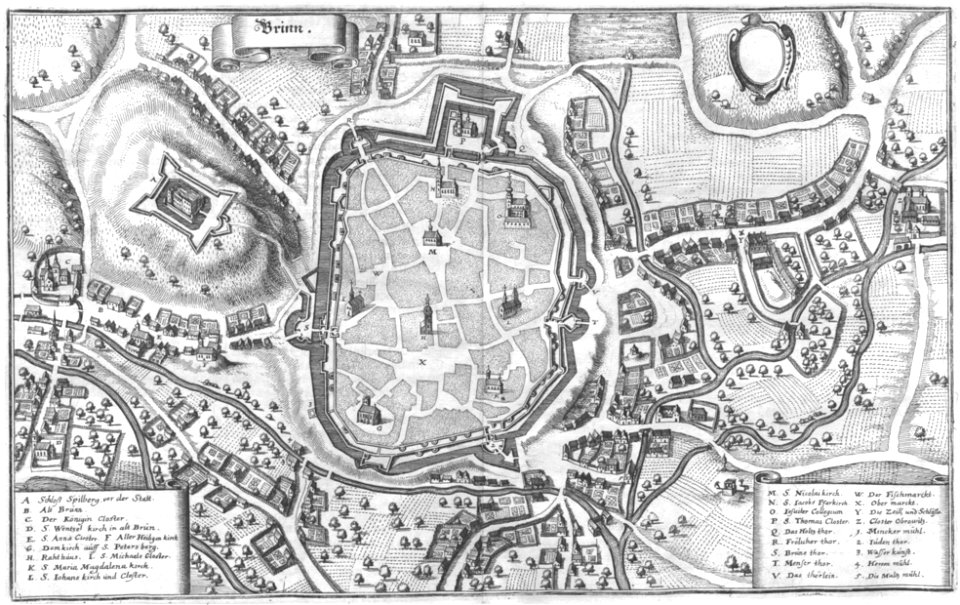
old maps of brno
old maps of saint petersburg governorate
atlas of the russian empire (1800)
popular science monthly illustrations/volume 32
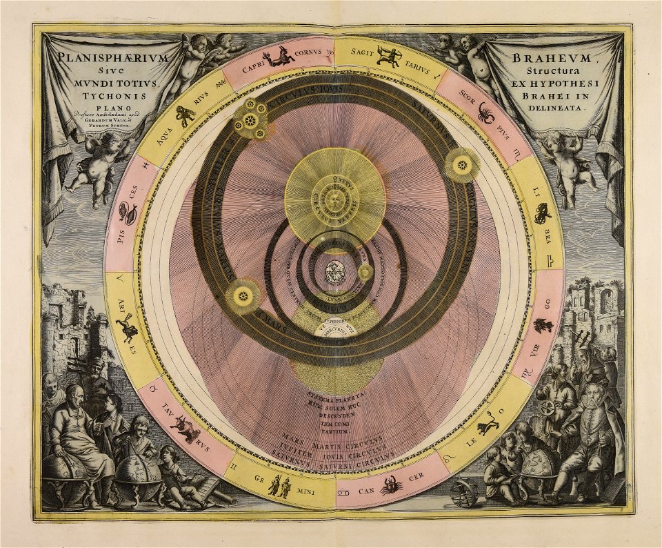
astronomical maps
maps in the stadsarchief amsterdam
daniël veelwaard (i)
maps in the stadsarchief amsterdam
daniël veelwaard (i)
östra yttringe gård
yttringe
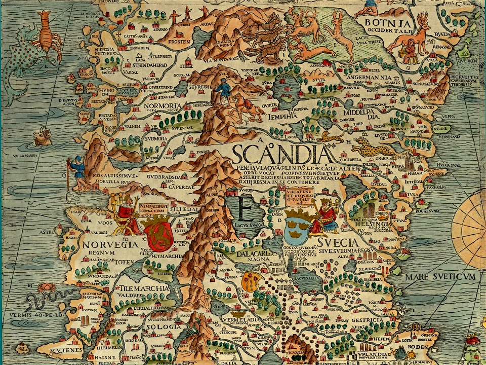
carta marina (details)
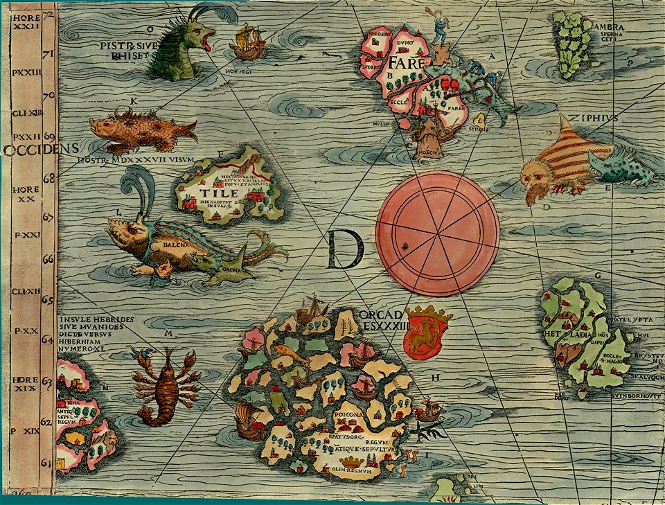
carta marina (details)
illustrations from the archipelago on fire by léon benett
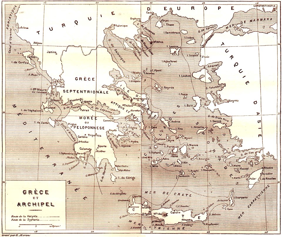
old maps of greece
maps by gerardus mercator
ursa major in art
17th-century maps of the world
description de l'universe
walter cooper dendy
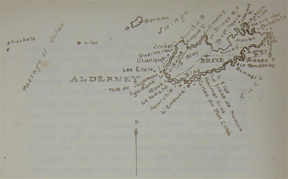
maps of alderney
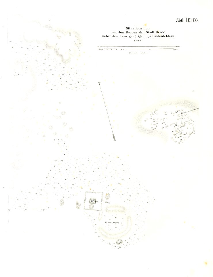
illustrations of meroe pyramids
lepsius-projekt - maps
7701 - 7800 of 38,646
Next page
/ 387