En
Log in
All resources
Create a design
Tools
38,646 Free Artworks of Map
maps in the library of congress
ohio
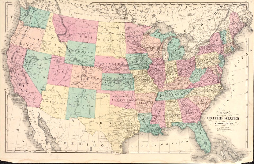
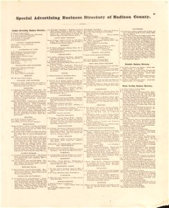
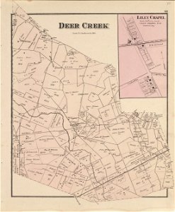
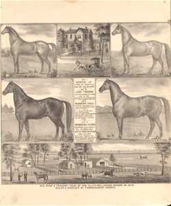
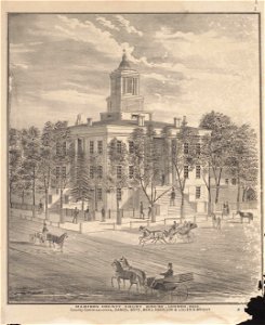
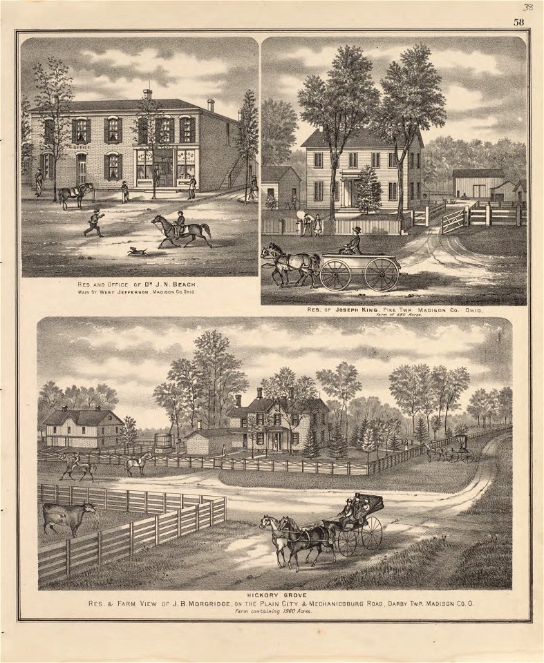
caldwell's atlas of madison co.
1552
geographiae claudii ptolemaei alexandrini (münster
atlas de wit 1698
maps in the stadsarchief amsterdam
geographical illustrations by coronelli
old maps of the peloponnese
josé maría de la torre
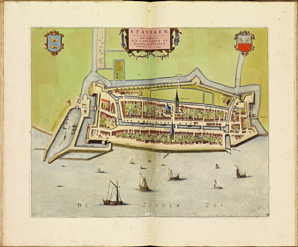
old maps of stavoren
atlas de wit 1698
atlas de wit 1698
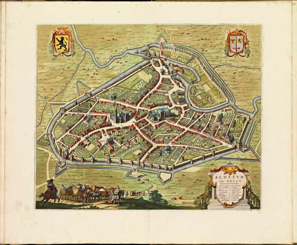
old maps of aalst
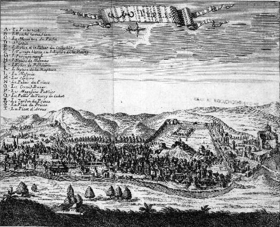
tbilisi in the 17th century
jean chardin
braun & hogenberg
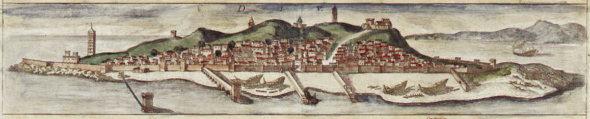
diu
former castles in germany
frans hogenberg
engravings of topographia saxoniae inferioris
bremen-verden campaign
geographical illustrations by coronelli
old maps of the peloponnese
19th-century maps of cuba
cuba in the 1840s
maps in the stadsarchief amsterdam
claes jansz. visscher (ii)
history of the dominican republic
1665
maps of the dutch east india company - st helena
1668
maps of the dutch east india company - sri lanka
1736
maps of the dutch east india company - south africa
1753
files from the bodleian libraries
old maps of the azores
drawings (documentary) collection in the library of congress
1860 in art
drawings (documentary) collection in the library of congress
1860 in art
maps in the library of congress
ohio
maps in the library of congress
ohio
maps in the library of congress
ohio
maps in the library of congress
ohio
maps in the library of congress
ohio
maps in the library of congress
ohio
maps in the library of congress
ohio
maps in the library of congress
ohio
maps in the library of congress
ohio
maps in the library of congress
ohio
maps in the library of congress
ohio
maps in the library of congress
ohio
maps in the library of congress
ohio
maps in the library of congress
ohio
maps in the library of congress
ohio
maps in the library of congress
ohio
maps in the library of congress
ohio
maps in the library of congress
ohio
maps in the library of congress
ohio
maps in the library of congress
ohio
maps in the library of congress
ohio
maps in the library of congress
ohio
maps in the library of congress
ohio
maps in the library of congress
ohio
maps in the library of congress
ohio
maps in the library of congress
ohio
maps in the library of congress
ohio
maps in the library of congress
ohio
maps in the library of congress
ohio
maps in the library of congress
ohio
maps in the library of congress
ohio
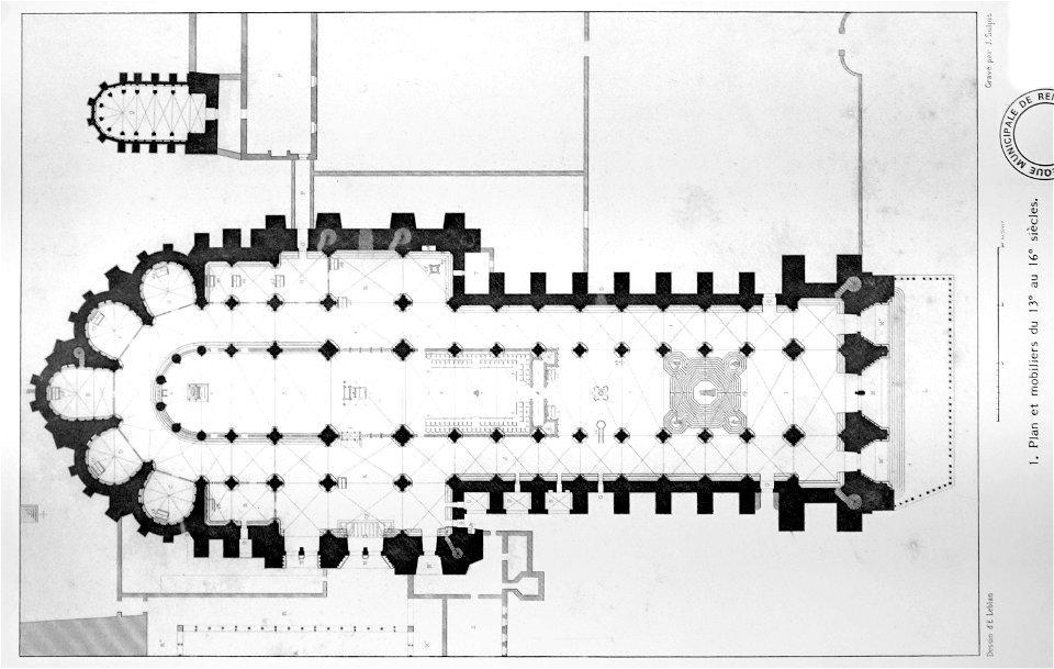
bibliothèque municipale de reims
maps of reims
corsica (galleria delle carte geografiche)
old maps of corsica
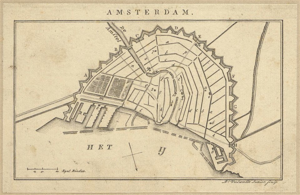
maps in the stadsarchief amsterdam
daniël veelwaard (i)
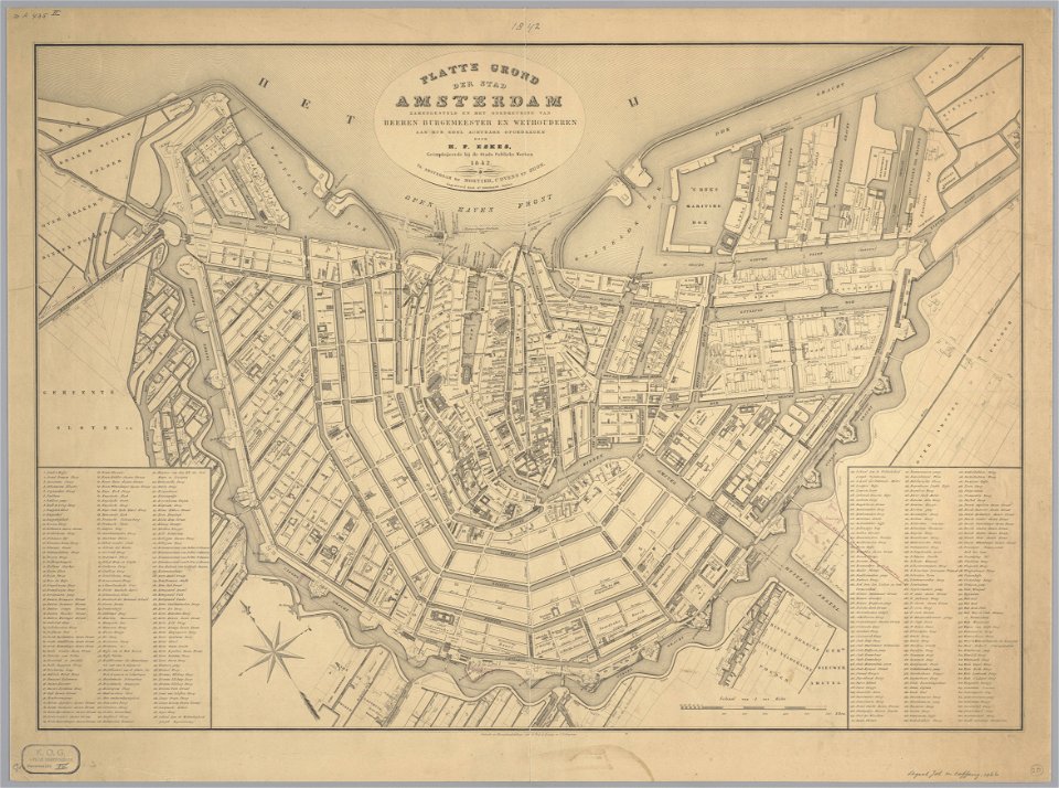
maps in the stadsarchief amsterdam
daniël veelwaard (i)
zwolse diep (channel)
maps of the zuiderzee
vättern
vänern
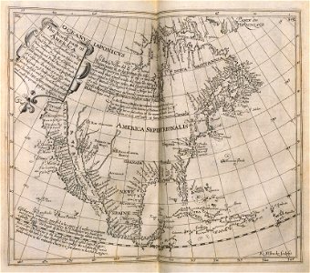
islands of california
berger collection
jan van der straet - inferno
inferno (dante)
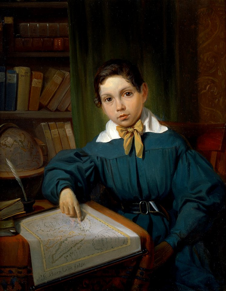
people with maps in art
1840 paintings
18th-century maps of the world
armillary spheres in art
illustrowany przewodnik do tatr
pienin i szczawnic
old celestial maps
comet
popular science monthly illustrations/volume 10
ancient earth views
austro-hungarian north pole expedition
images of vasárnapi ujság in 1874
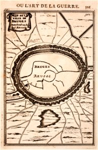
prints from manesson travaux de mars at the peace palace library
maps of bruges
geographical illustrations by coronelli
maps of icaria
18th-century maps of berlin
1712 in berlin
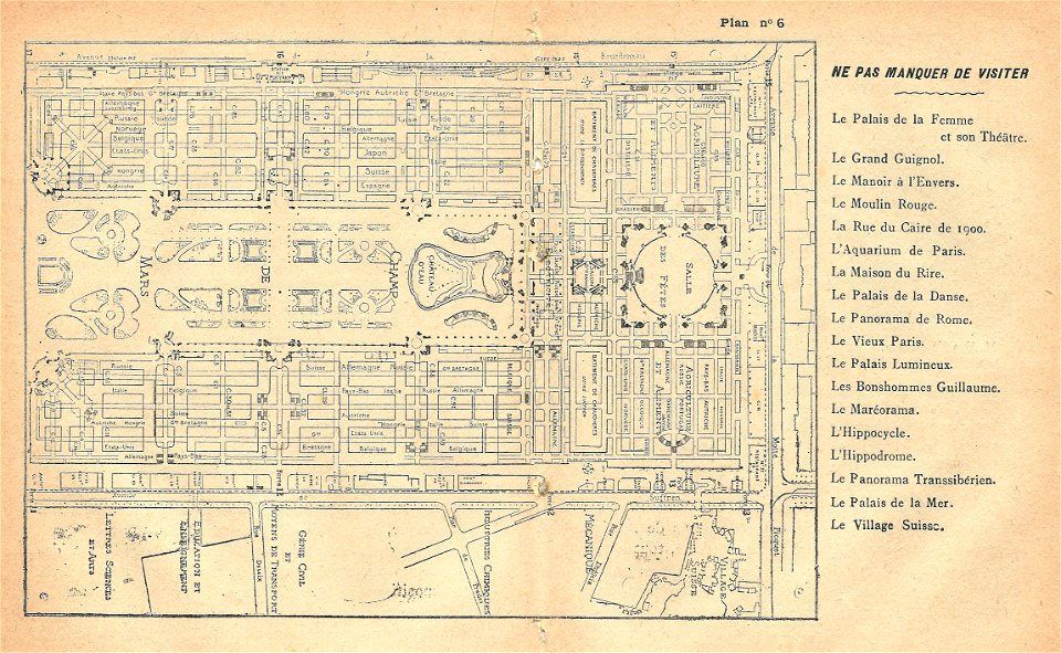
illustrations du catalogue remboursable de l'expo 1900
maps of the exposition universelle (1900)
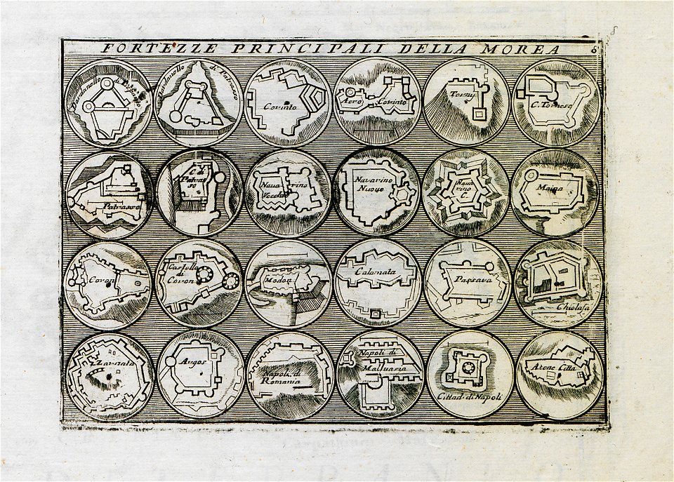
geographical illustrations by coronelli
old maps of the peloponnese
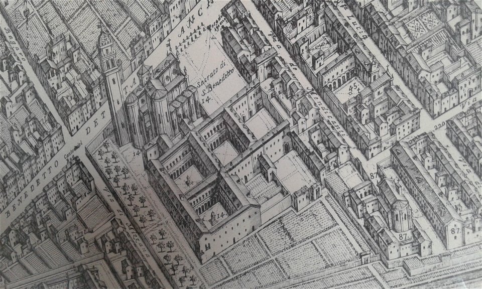
map of ferrara by andrea bolzoni
corso porta po (ferrara)
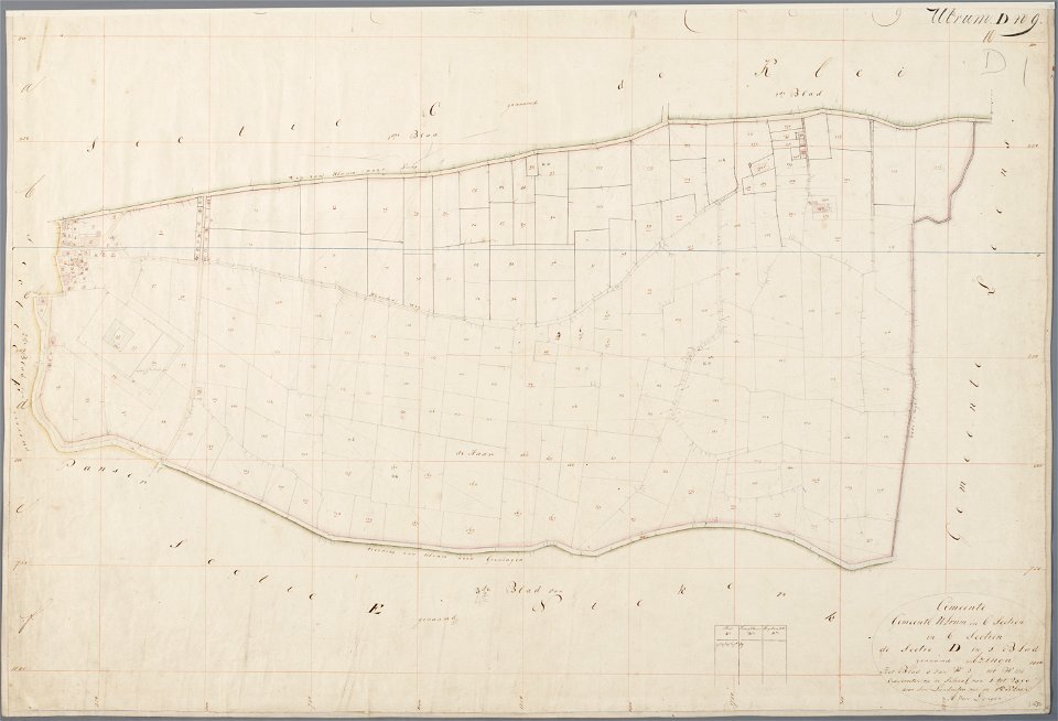
asingaborg (ulrum)
ulrum
prints in the teylers museum
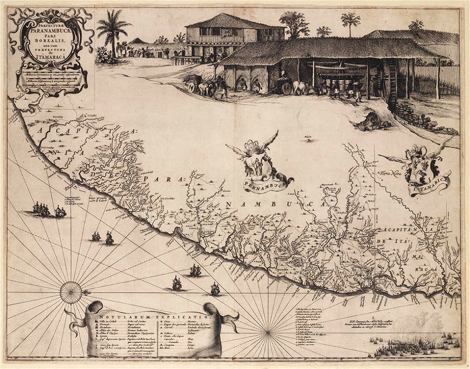
old maps of pernambuco
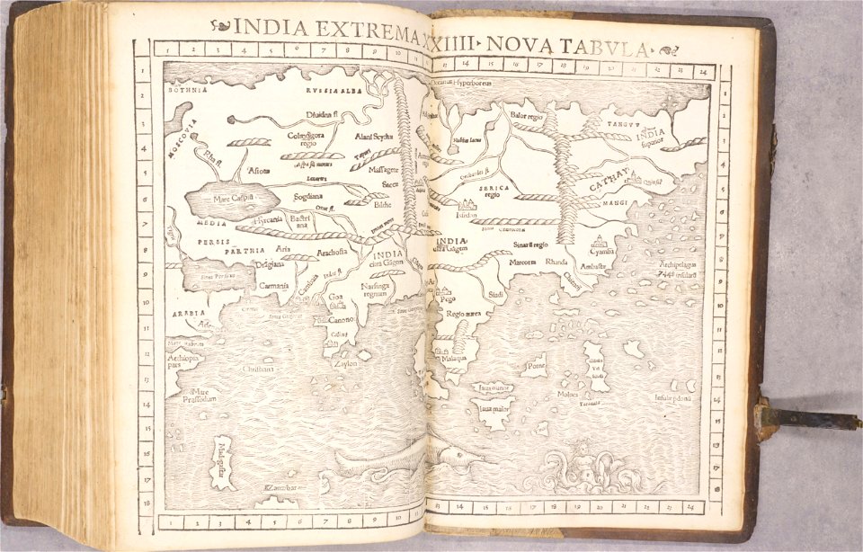
old maps of asia
1552
old maps of bohemia
1552
old maps of transylvania
1552
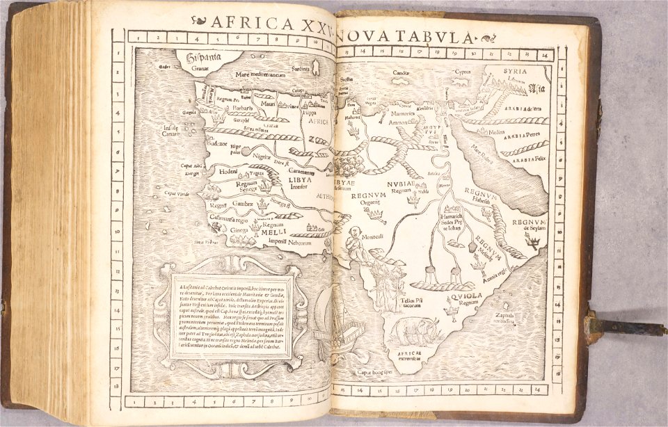
1550s maps of africa
1552
old maps of the americas
1552
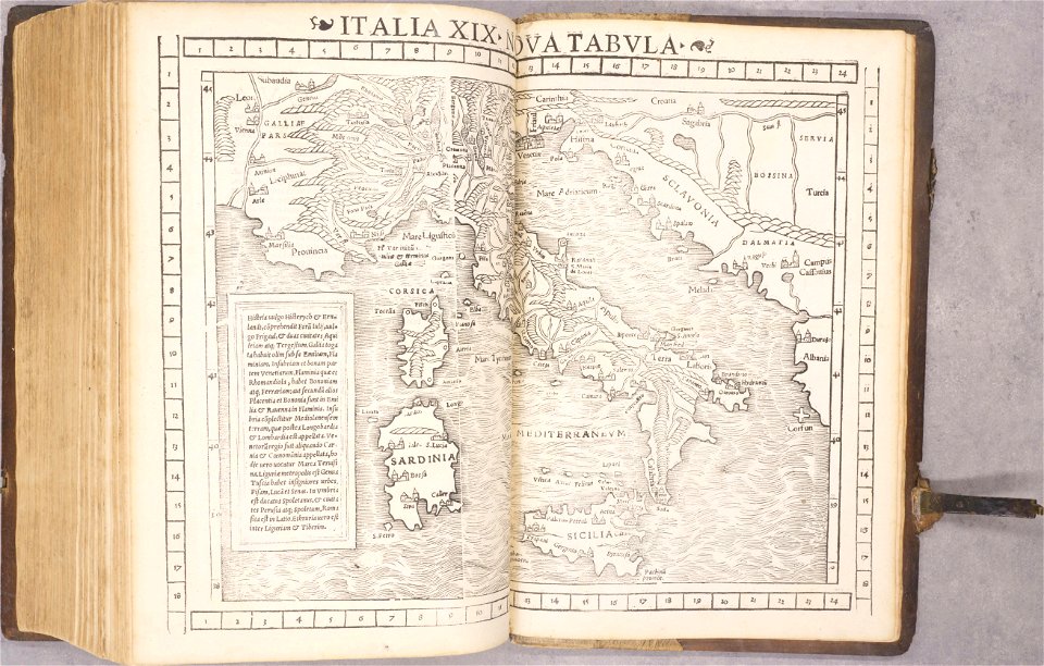
old maps of italy
1552
old maps of havana
cuba in the 1860s
volume 9 of le tour du monde
19th-century maps of egypt
lepsius-projekt - temples
lepsius-projekt - maps
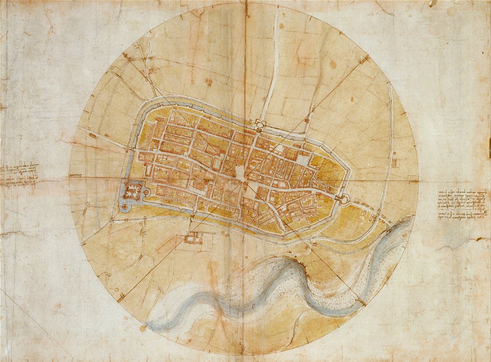
leonardo da vinci
imola
19th-century maps of tanzania
volume 1 of le tour du monde
maps of the dutch east india company - india
1709
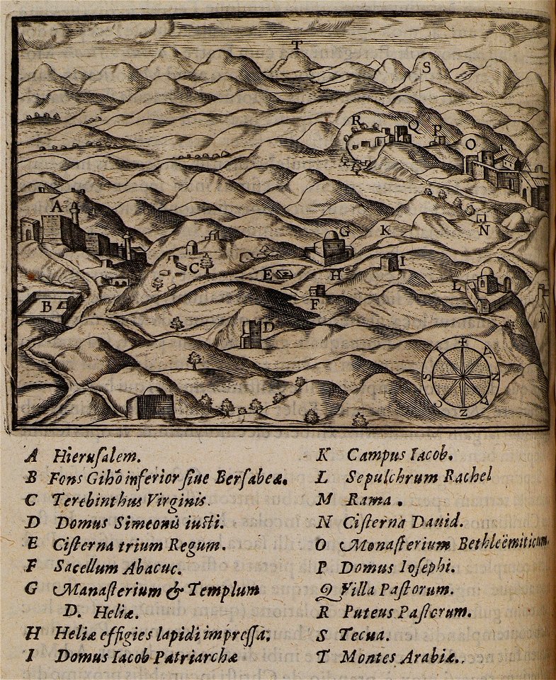
itinerarium hierosolymitanum et syriacum..., 1619
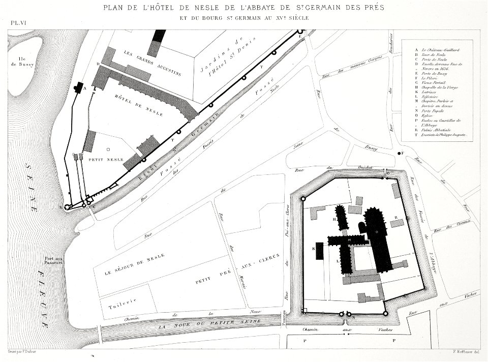
saint-germain-des-prés
lithographs of paris
itinerario (jan huygen van linschoten)
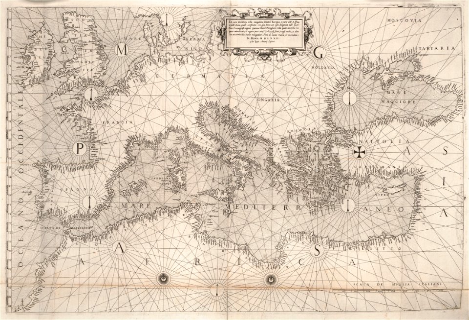
latin-language maps
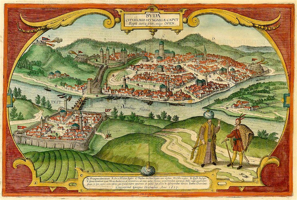
buda castle in art
buda castle
16th-century maps of the black sea
maps in the library of congress
16th-century maps of the black sea
maps in the library of congress
1715 maps of mecklenburg-vorpommern
battles of the great northern war
spanjaardenkasteel
atlas de wit 1698
old maps of bourbourg
atlas de wit 1698
atlas de wit 1698
netherlands
koninklijk nederlands aardrijkskundig genootschap
intaglio (printmaking)
prints from manesson travaux de mars at the peace palace library
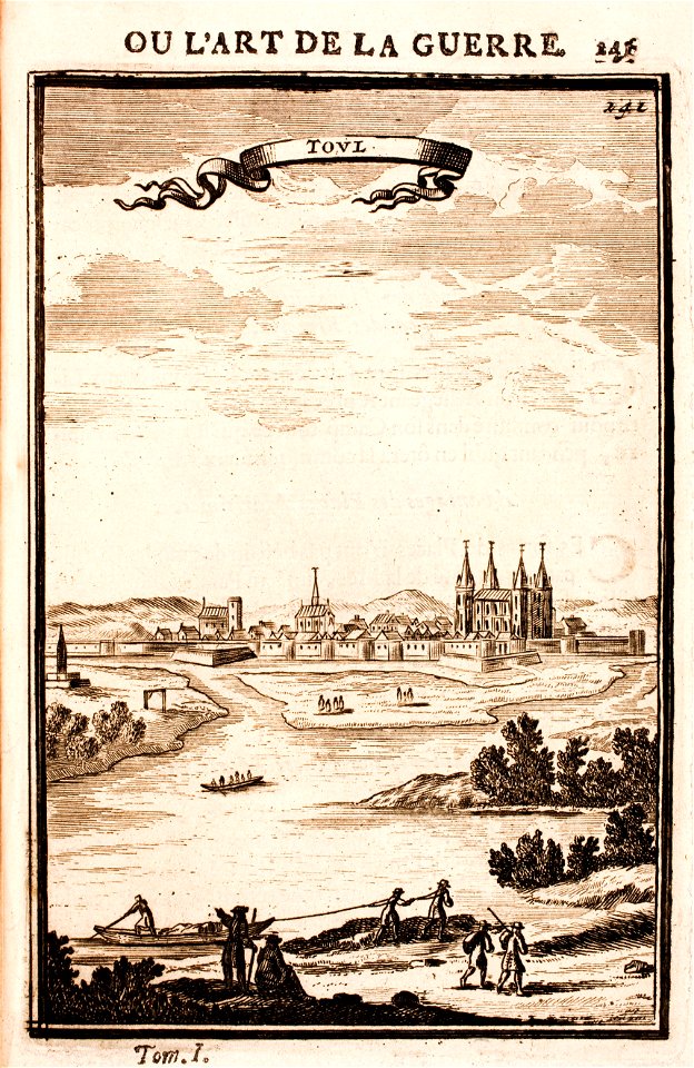
old maps of toul
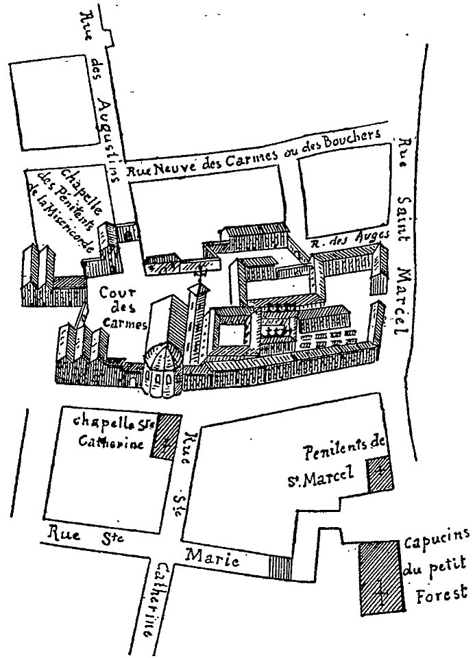
les anciens couvents de lyon
16th-century maps of lyon
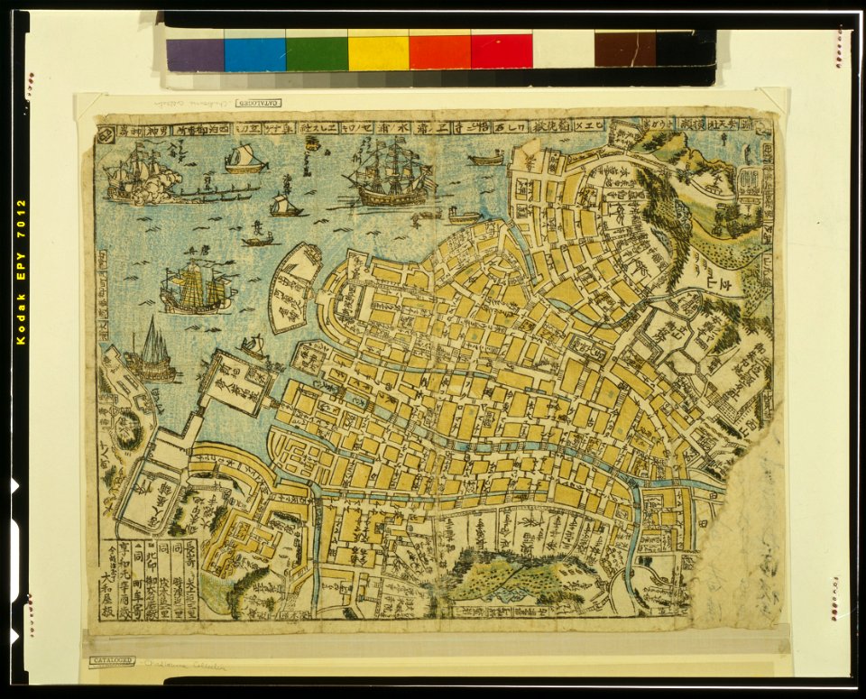
ukiyo-e by unknown artists
nagasaki-e
brusselsepoort (maastricht gate)
lindenkruispoort (maastricht)
maps in the stadsarchief amsterdam
hendrik de leth
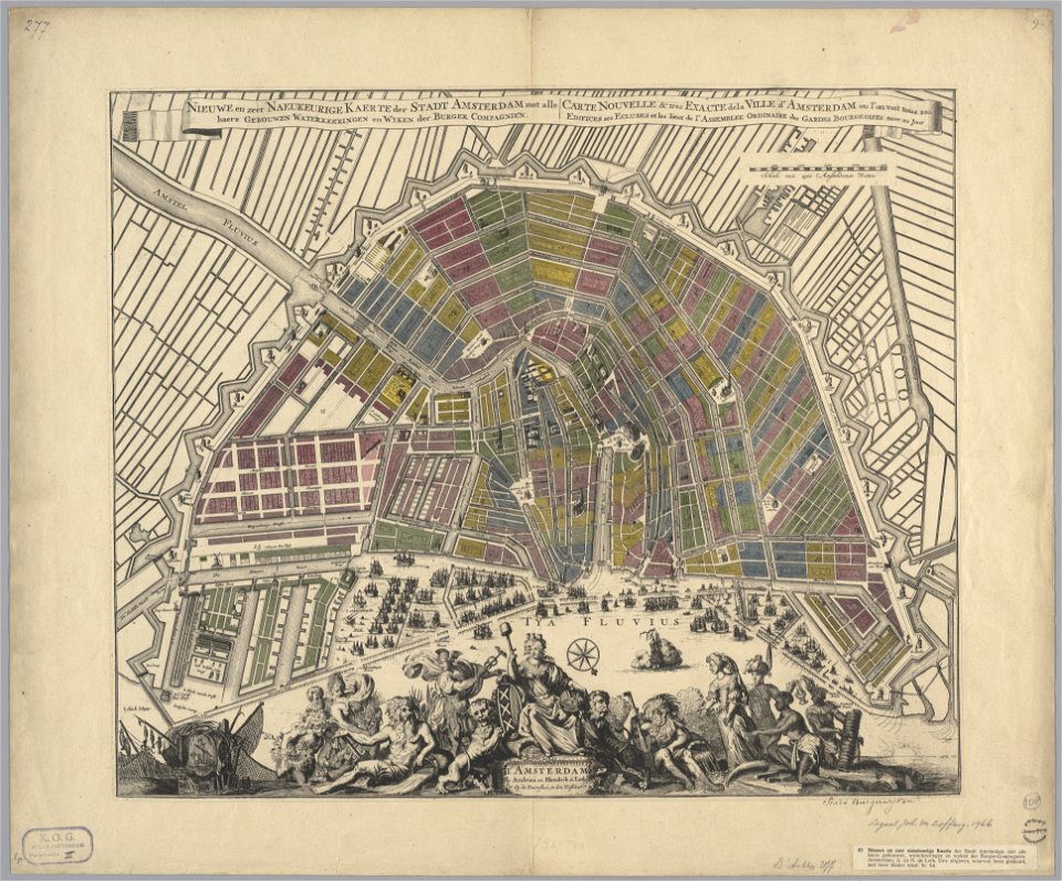
maps in the stadsarchief amsterdam
hendrik de leth
maps of fortifications
arab–khazar wars
old maps of zürich
zürich
9001 - 9100 of 38,646
Next page
/ 387