En
Log in
All resources
Create a design
Tools
38,646 Free Artworks of Map
charts and maps of the royal museums greenwich
1682 maps
description de l'universe
maps in the library of congress
maps made in the 17th century
maps in the british museum
old maps of southeast asia
atlantis magni tomus tertius (biblioteca comunale di trento)
gerard valck
maps by pieter schenk (i)
maps in the library of congress
albert ruger
1760s etchings
1760 maps
maps by frederick de wit
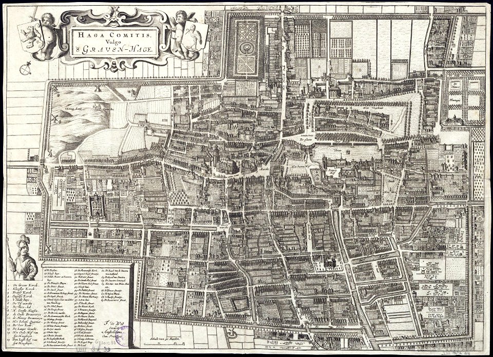
old maps of the hague
maps made in the 17th century
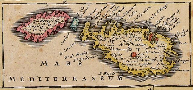
old maps of malta
maps in the library of congress
new york
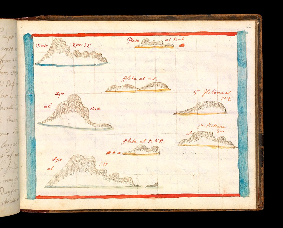
charts and maps of the royal museums greenwich
old maps of ecuador
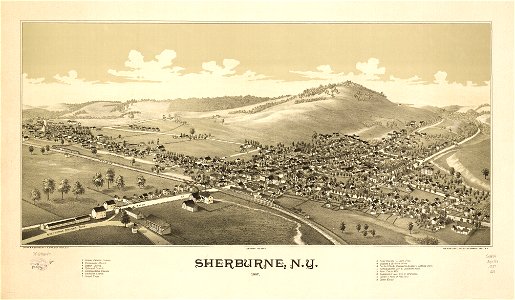
sherburne
new york
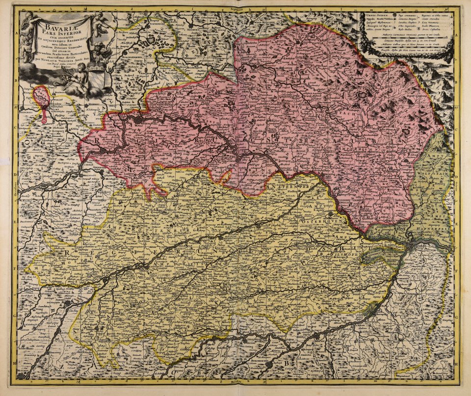
maps made in the 17th century
maps by nicolaes visscher i
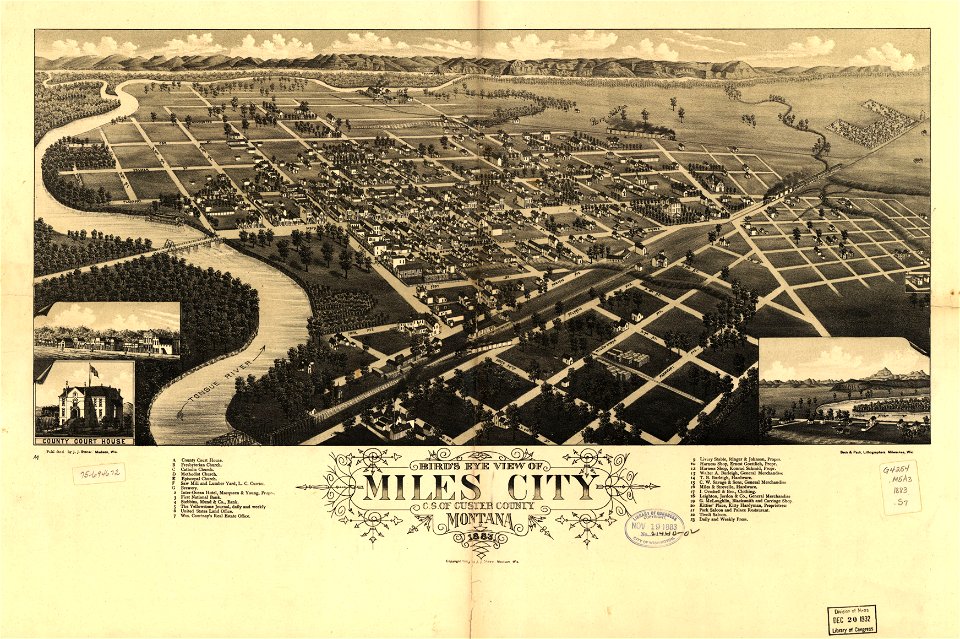
miles city
montana
maps made in the 18th century
gerard valck
maps of the dutch east india company - indonesia
onrust island
maps of the dutch east india company - indonesia
1724
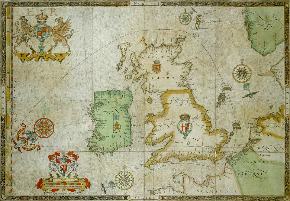
the track of the armada around britain and ireland
charts and maps of the royal museums greenwich
harbours in egypt
sieabo
travel
maps
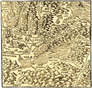
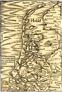
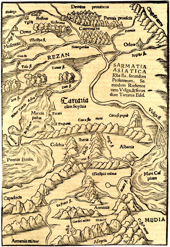
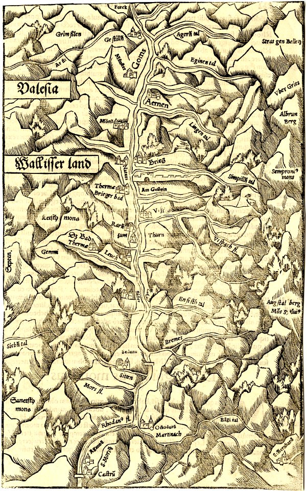
maps by sebastian münster
ptolemy's 1st asian map
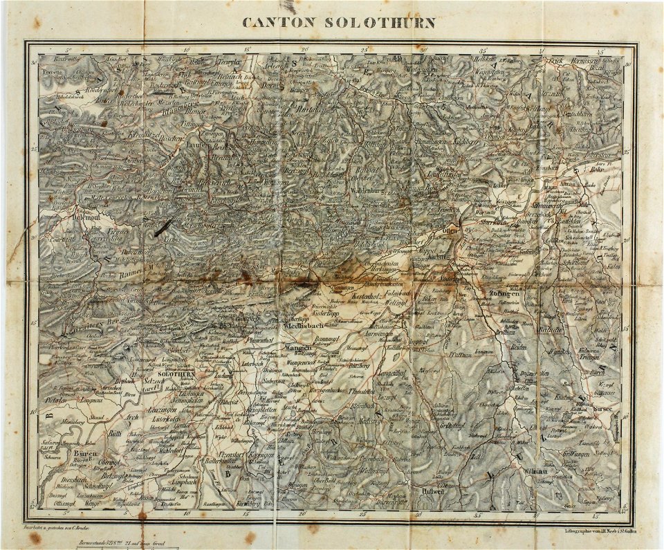
maps of the canton of solothurn
old maps of switzerland
charts and maps of the royal museums greenwich
1682 maps
maps by pieter schenk (i)
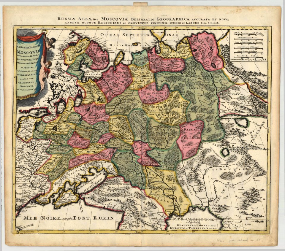
1685 maps of russia
charts and maps of the royal museums greenwich
1682 maps
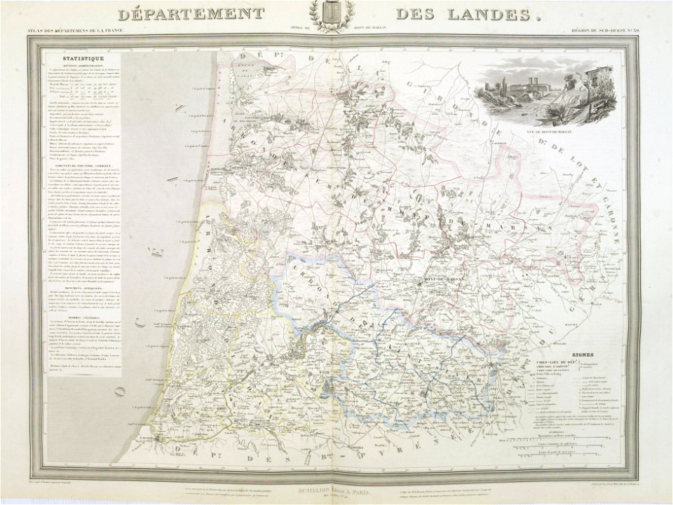
old maps of landes
1841 maps
maps in the library of congress
1680 maps
charts and maps of the royal museums greenwich
1682 maps
charts and maps of the royal museums greenwich
1682 maps
maps with stab-werner projection
petrus apianus
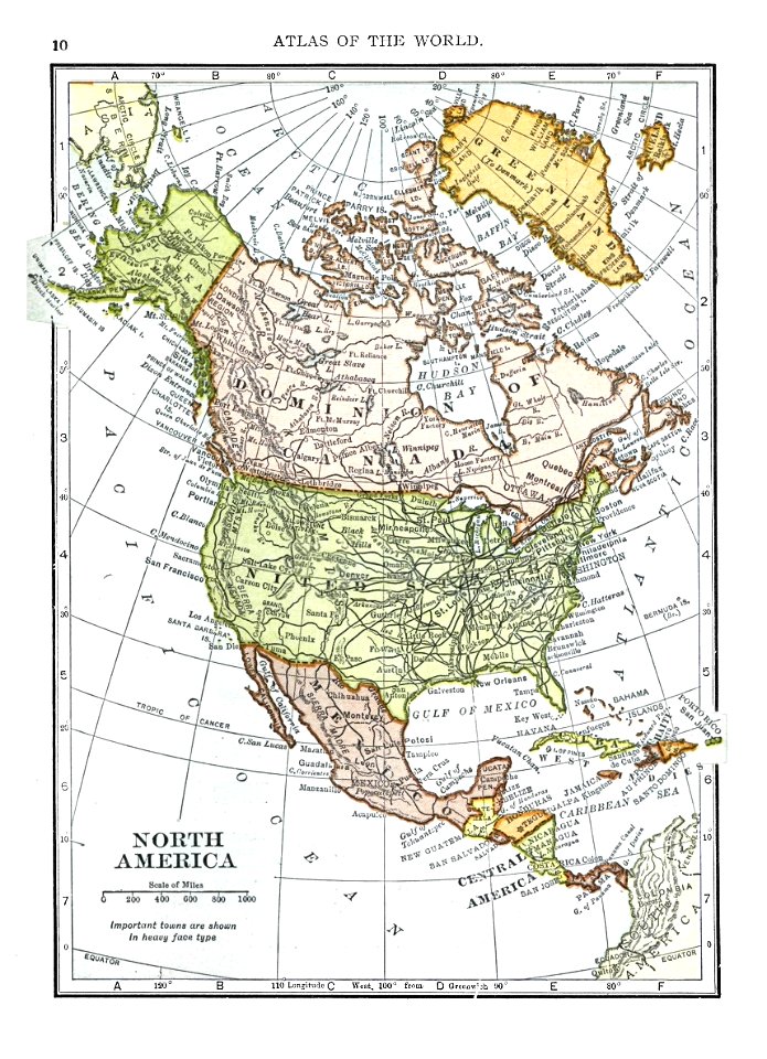
1909 maps of north america
old maps of north america
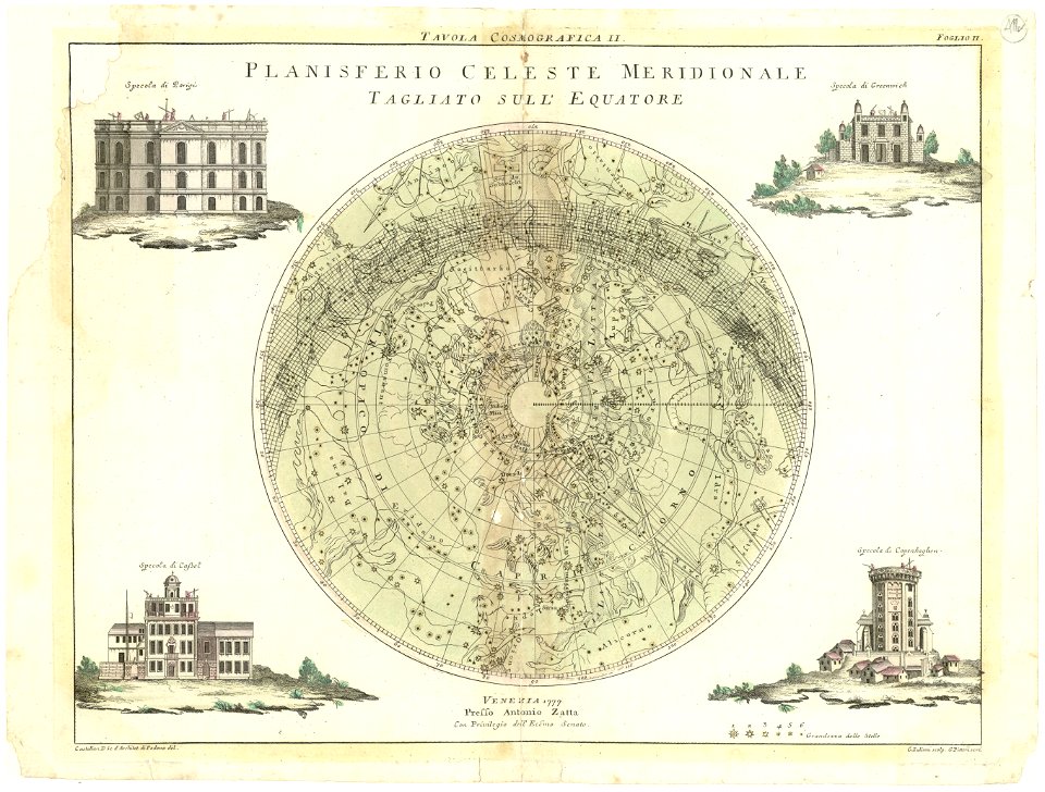
maps by antonio zatta
old celestial maps
charts and maps of the royal museums greenwich
1682 maps
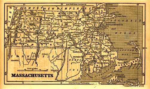
1855 maps of massachusetts
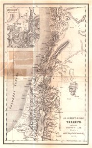
maps of israel
józsef farkas
maps made in the 18th century
1793
charts and maps of the royal museums greenwich
1682 maps
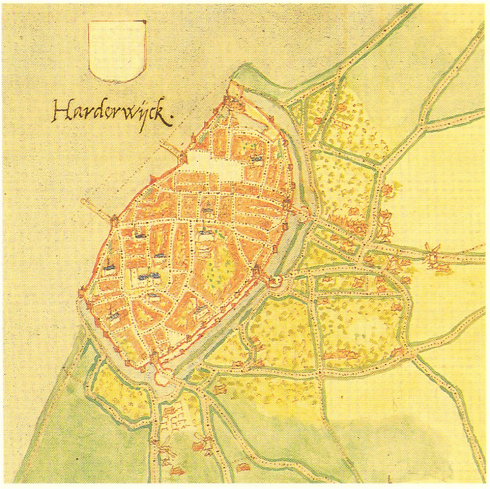
maps by jacob van deventer
old maps of harderwijk
charts and maps of the royal museums greenwich
1682 maps
description de l'universe
old maps of africa
old maps of southeast asia
description de l'universe
maps in london labour and the london poor (1851)
cosmographia (1600) by sebastian münster
old maps of switzerland
old maps of southeast asia
description de l'universe
description de l'universe
1710s maps of the world
old maps of southeast asia
description de l'universe
description de l'universe
old maps of africa
description de l'universe
1683 maps of ethiopia
description de l'universe
old maps of china
charts and maps of the royal museums greenwich
1682 maps
charts and maps of the royal museums greenwich
1682 maps
maps in the library of congress
1993 maps
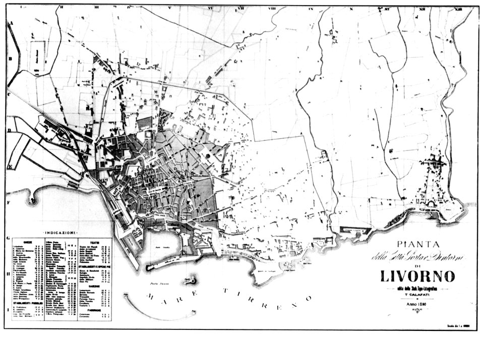
old maps of livorno
old maps of southeast asia
description de l'universe
description de l'universe
old maps of saudi arabia
17th-century maps of india
description de l'universe
old maps of southeast asia
description de l'universe
illustrations of cosmographia (münster)
1580s maps of egypt
old maps of southeast asia
description de l'universe
charts and maps of the royal museums greenwich
1682 maps
charts and maps of the royal museums greenwich
1682 maps
maps in the british museum
charts and maps of the royal museums greenwich
1682 maps
maps in the british museum
maps in the british museum
maps in the british museum
maps in the british museum
maps in the british museum
maps in the british museum
charts and maps of the royal museums greenwich
1682 maps
18th-century maps of india
old maps of tibet
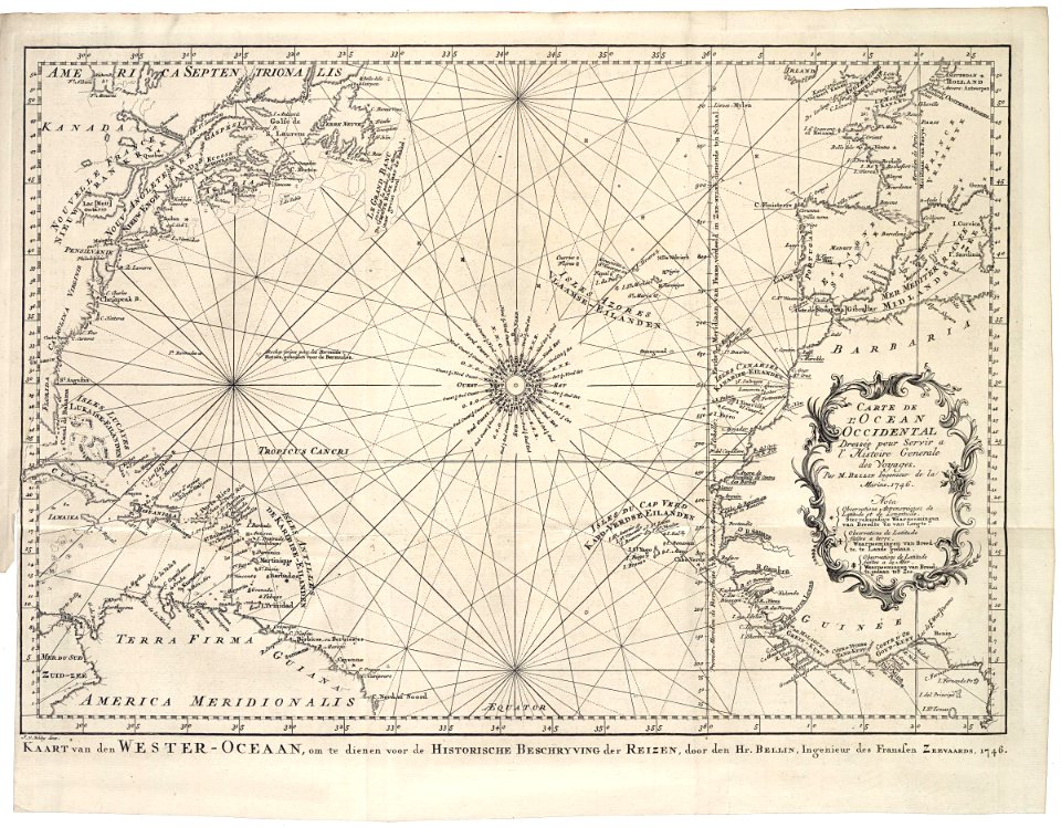
maps of the west-indische compagnie
1646
maps of the west-indische compagnie
1746
maps of the west-indische compagnie
1747)
charts and maps of the royal museums greenwich
1682 maps
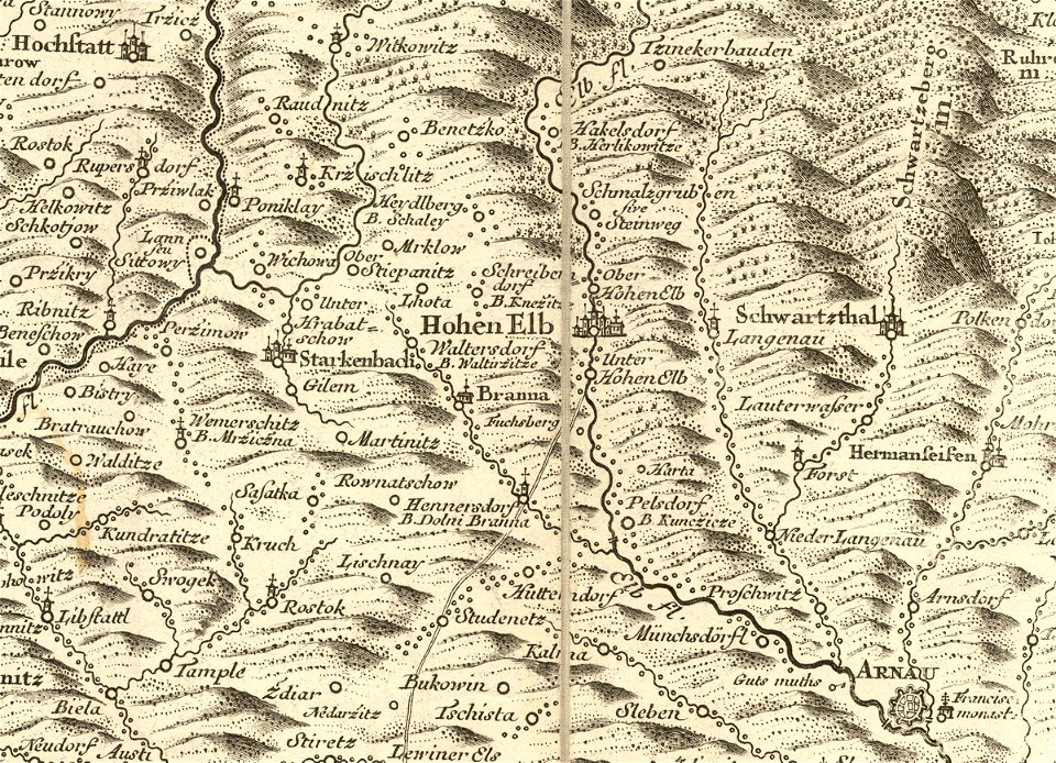
details of müller's map of bohemia
history of vrchlabí
description de l'universe
1719 maps of africa
old celestial maps
old maps of the dutch east india company
world map
maps
through the dark continent
lake victoria
gerard valck
cina
color engravings
jodocus hondius
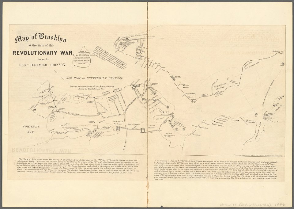
battle of long island
new york city
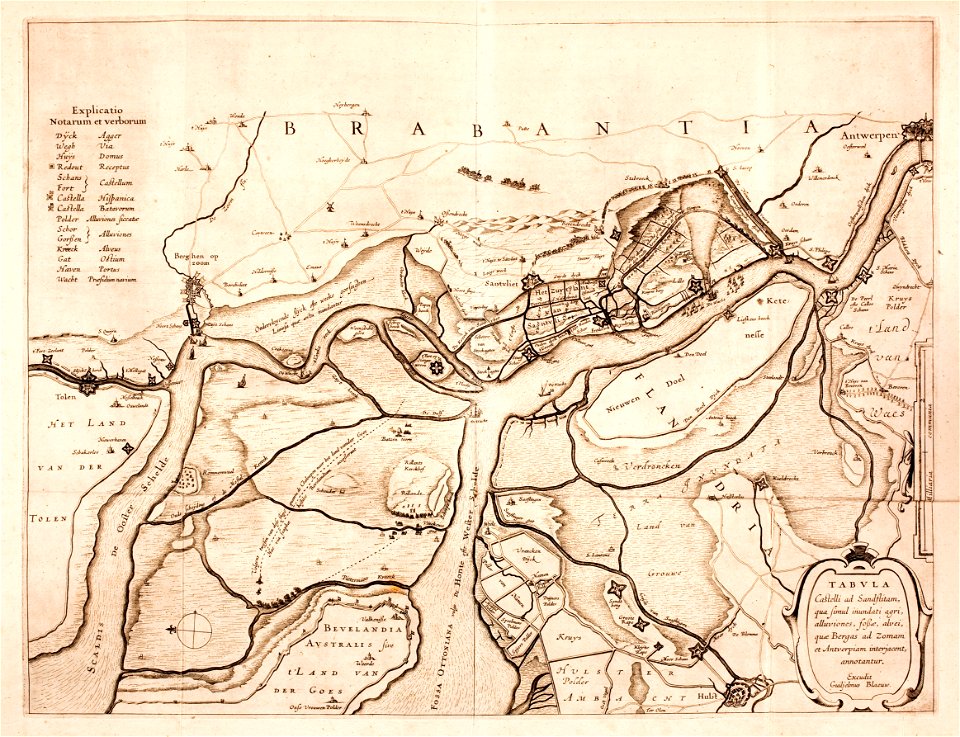
maps by willem and johannes blaeu
lillo
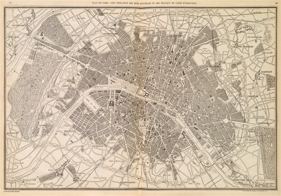
l'illustration
1853
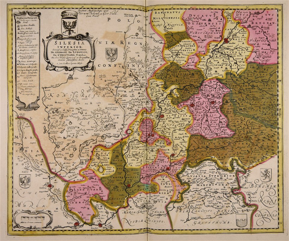
old maps of silesia
gerard valck
maps made in the 17th century
gerard valck
old maps of asia
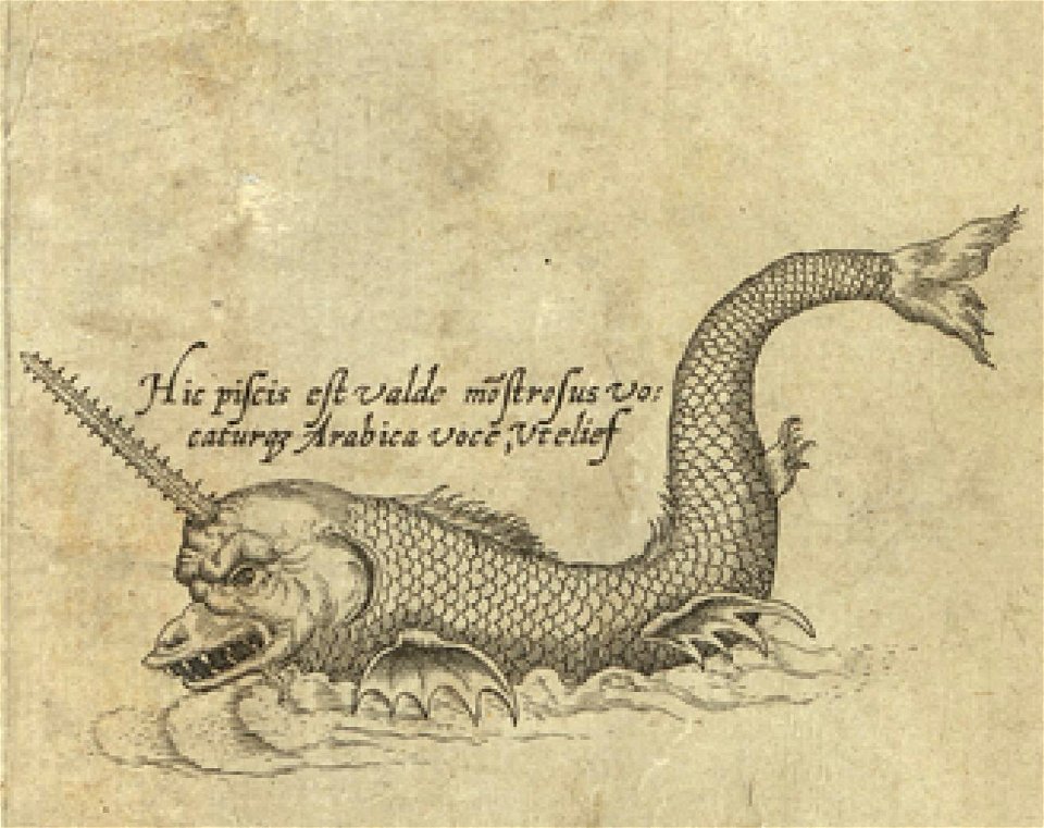
sea monster
atlantis magni tomus primus (biblioteca comunale di trento)
17th-century maps of schleswig-holstein
prints from dankaerts historis at the peace palace library
cornelis danckerts (i)
trịnh lords
1718)
maps made in the 17th century
gerard valck
maps with cartouches
finland
maps with cartouches
copper engraving
ukiyo-e by unknown artists
1800s maps of the world
koninklijk nederlands aardrijkskundig genootschap
map collection frederik muller & co
koninklijk nederlands aardrijkskundig genootschap
map collection frederik muller & co
maps in the library of congress
1855 maps
maps in the biblioteca federiciana
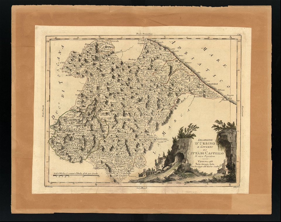
old maps of marche
maps made in the 17th century
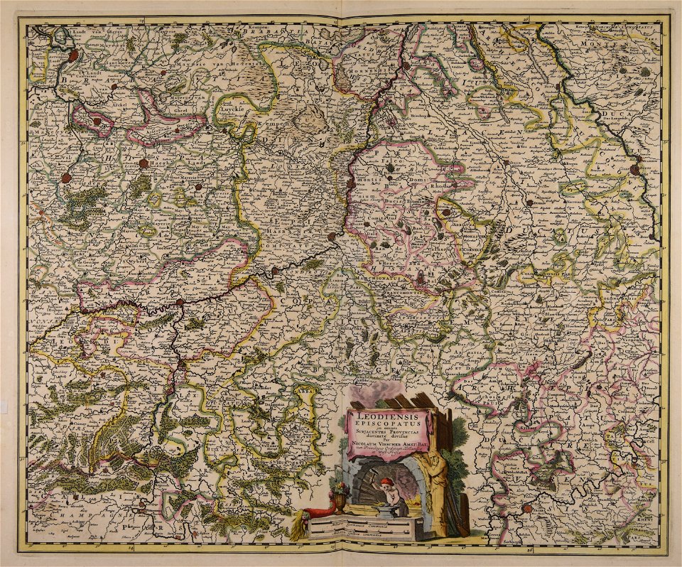
maps by nicolaes visscher i
hand-drawn maps and views of world war i battlefields by h.m.
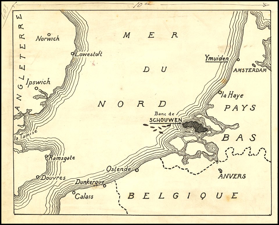
old maps of the english channel
french-language maps
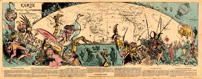
pictorial maps
lower manhattan
new york city
old maps of france
old maps of brest
3701 - 3800 of 38,646
Next page
/ 387