En
Log in
All resources
Create a design
Tools
38,646 Free Artworks of Map
bibliothèque nationale de france
beschreibung und contrafactur der vornembster stät der welt, liber primus civitates orbis terrarum
maps
engraving
tresor des cartes geographiques (1659)
cartography
grabados
fondo antiguo
cartografía
cartografía, mapas | cartography, maps
ndl-dc 1287041 3 1287747 tōkaidō bunken ezu
hishikawa school,ukiyo-e
ndl-dc 1287041 4 1286884 tōkaidō bunken ezu
hishikawa school,ukiyo-e
ndl-dc 1287041 2 1287740 tōkaidō bunken ezu
hishikawa school,ukiyo-e
ndl-dc 1287041 1 1287733 tōkaidō bunken ezu
hishikawa school,ukiyo-e
eran laor cartographic collection
willem blaeu
maps of deventer by braun & hogenberg
december 1933 in washington, d.c.
public works of art project
maps from the earth and its inhabitants, vol. iii
dobracz
public domain images
geographia universalis (1545) in the british museum
german renaissance,northern renaissance
geographia universalis (1545) in the british museum
german renaissance,northern renaissance
leo belgicus
1583 maps
history of ortenburg
friedrich casimir
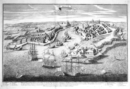
dessin du château de brest
old maps of brest harbours
old maps of utrecht (city)
atlas van loon
cartography
maps
cartography
maps
cartography
maps
chorographia britanniae (1741-1742)
18th-century maps of sussex
civitates orbis terrarvm, liber primvs (1577)
maps of heidelberg by braun & hogenberg
maps of münster (westfalen) by braun & hogenberg
civitates orbis terrarvm, liber primvs (1577)
eran laor cartographic collection
johann berka
eran laor cartographic collection
michel van lochom
bibliothèque nationale de france
maps by thomas kitchin
maps of mexico city by braun & hogenberg
maps of cusco by braun & hogenberg
maps of uithuizermeeden
oldenzijl
cartography
maps
beschreibung und contrafactur der vornembster stät der welt, liber primus civitates orbis terrarum
maps of dresden by braun & hogenberg
carte figurative de l'instruction populaire de la france
maps from gallica
beschreibung und contrafactur der vornembster stät der welt, liber primus civitates orbis terrarum
maps of gorinchem by braun & hogenberg
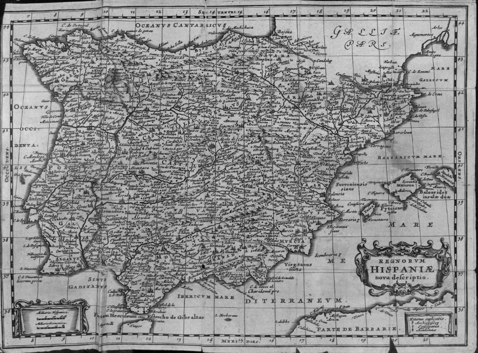
tresor des cartes geographiques (1659)
1650s maps of the iberian peninsula
tresor des cartes geographiques (1659)
17th-century maps of the arctic
maps of candia by ortelius and mercator
tresor des cartes geographiques (1659)
maps of barbary coast by mercator-hondius
tresor des cartes geographiques (1659)
beschreibung und contrafactur der vornembster stät der welt, liber primus civitates orbis terrarum
maps of burgos by braun & hogenberg
maps of prague by braun & hogenberg
maps of cheb by braun & hogenberg
beschreibung und contrafactur der vornembster stät der welt, liber primus civitates orbis terrarum
maps of rouen by braun & hogenberg
maps of barbary coast by mercator-hondius
tresor des cartes geographiques (1659)
beschreibung und contrafactur der vornembster stät der welt, liber primus civitates orbis terrarum
maps of écija by braun & hogenberg
lopukhinsky garden
john rocque's 1746 map of london
details of old maps of london
atlas maior, vol 1 (northern europe, norway, and denmark) - joan blaeu, 1667 - bl 114.h(star).1
1667 maps
atlas maior, vol 8 (france ii and switzerland) - joan blaeu, 1667 - bl 114.h(star).8
1667 maps
atlas maior, vol 3 (germany) - joan blaeu, 1667 - bl 114.h(star).3
old maps of upper austria
atlas maior, vol 8 (france ii and switzerland) - joan blaeu, 1667 - bl 114.h(star).8
1667 maps
1890s maps of the united kingdom
the birds of devon (1892)
atlas maior, vol 2 (sweden, russia, poland, eastern europe, and greece) - joan blaeu, 1667 - bl 114.h(star).2
1667 maps of russia
atlas maior, vol 4 (netherlands) - joan blaeu, 1667 - bl 114.h(star).4
1667 maps
james reynolds (publisher)
john emslie
maps by johannes vingboons
old maps of south holland
saint paul island (alaska)
old maps of alaska
maps of paris from bibliothèque nationale de france
baroque
maps of buenos aires
aduana taylor
largo di palazzo (naples)
mannerism
maps of paris from bibliothèque nationale de france
baroque
lutetia parisiorum urbs, toto orbe celeberrima notissimaque caput regni franciæ by sebastian münster
maps of paris from bibliothèque nationale de france
map of amsterdam by gerrit de broen (ii)
gerrit de broen
turgot map of paris, kyoto university library – derivative files
couvent des filles-saint-thomas
map collection of leibniz-institut für länderkunde
1800s maps of the world
old maps of antiparos
old maps of paros
maps by willem and johannes blaeu
1663 maps of africa
old maps of the tyrol
south tyrol
bible
maps
topographischer atlas der schweiz
maps of lake lugano
maps of the ottoman empire by mercator-hondius
persian gulf naming dispute
maps of wallachia by gerardus mercator
atlas novus (blaeu)
topographischer atlas der schweiz
weiach
maps of cairo by braun & hogenberg
ottoman egypt
maps in the stadsarchief amsterdam
prints by dirk jurriaan sluyter
maps showing history of indigenous peoples of north america
serpent mound
cartography
maps
cartography
maps
cartography
maps
dunkerque in art
eberhard kieser
praefectura paranambucae pars borealis, una cum praefectura de itâmaracâ
1647 maps of brazil
a voyage to abyssinia, and travels into the interior of that country, executed under the orders of the british government in the years 1809 & 1810
john outhett
a voyage to abyssinia, and travels into the interior of that country, executed under the orders of the british government in the years 1809 & 1810
john outhett
old maps of utrecht (city)
atlas van loon
gemeente atlas van nederland - north brabant
andel, netherlands
gemeente atlas van nederland - south holland
maps of oudewater
map of maastricht by willem and johannes blaeu (1649)
statenkwartier (maastricht)
maps of flensburg by braun & hogenberg
johannistor (flensburg)
military equipment of muscovite russia
details of sigismund's map of moscow
erstavik
maps by willem and johannes blaeu
1630s maps of asia
maps of duisburg by braun & hogenberg
postcards of duisburg
17th-century maps of tartary
17th-century maps of siberia
panoramic maps of seville by braun & hogenberg
civitates orbis terrarvm, liber primvs (1577)
civitates orbis terrarvm, liber primvs (1577)
maps of groningen by braun & hogenberg
atlas minor gerardi mercatoris (1609)
maps of asia by mercator-hondius
beschreibung und contrafactur der vornembster stät der welt, liber primus civitates orbis terrarum
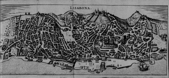
maps of lisbon by braun & hogenberg (1572)
17th-century maps of the malay archipelago
tresor des cartes geographiques (1659)
beschreibung und contrafactur der vornembster stät der welt, liber primus civitates orbis terrarum
maps of lisbon by braun & hogenberg (1572)
beschreibung und contrafactur der vornembster stät der welt, liber primus civitates orbis terrarum
maps of lübeck by braun & hogenberg
tresor des cartes geographiques (1659)
17th-century maps of morocco
beschreibung und contrafactur der vornembster stät der welt, liber primus civitates orbis terrarum
maps of mons (hainaut) by braun & hogenberg
1667 sanson map of africa
1667 maps of africa
bibliothèque nationale de france
guillaume sanson
tresor des cartes geographiques (1659)
17th-century maps of the british isles
beschreibung und contrafactur der vornembster stät der welt, liber primus civitates orbis terrarum
maps of genoa by braun & hogenberg
20201 - 20300 of 38,646
Next page
/ 387