En
Log in
All resources
Create a design
Tools
38,646 Free Artworks of Map
maps of africa
africa in the 1890s
maps from the earth and its inhabitants, vol. xii
maps from the earth and its inhabitants, vol. xi
maps from the earth and its inhabitants, vol. xiii
eran laor cartographic collection
bibliothèque nationale de france
paper
british museum
english-language maps
maps from the earth and its inhabitants, vol. xii
africa in the 1890s
maps from the earth and its inhabitants, vol. xii
africa in the 1890s
maps from the earth and its inhabitants, vol. xiii
africa in the 1890s
maps from the earth and its inhabitants, vol. xii
africa in the 1890s
maps from the earth and its inhabitants, vol. xii
africa in the 1890s
maps from the earth and its inhabitants, vol. xi
africa in the 1890s
maps from the earth and its inhabitants, vol. xi
africa in the 1890s
maps from the earth and its inhabitants, vol. xiii
africa in the 1890s
maps from the earth and its inhabitants, vol. xii
africa in the 1890s
maps from the earth and its inhabitants, vol. xi
africa in the 1890s
maps from the earth and its inhabitants, vol. xii
africa in the 1890s
maps from the earth and its inhabitants, vol. xi
africa in the 1890s
maps from the earth and its inhabitants, vol. xiii
maps of africa
eran laor cartographic collection
martin engelbrecht
eran laor cartographic collection
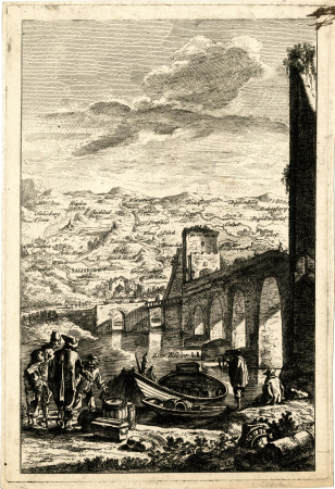
cornelis de bruyn
eran laor cartographic collection
romanticism
eran laor cartographic collection
cornelis de bruyn
eran laor cartographic collection
william hole (engraver)
details of old maps
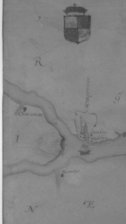
la virginea pars
details of old maps
la virginea pars
historical images of église saint-nicolas-du-chardonnet
map of paris by braun & hogenberg - derivative files
maps of alsace by guillaume sanson
1690s maps of baden-württemberg
description de l'universe
1685 maps of europe
lechenich
baroque
maps of the british isles by gerardus mercator
ateliers bmb mercator
maps of asia by mercator-hondius
ateliers bmb mercator
maps of cornwall and south wales by gerardus mercator
ateliers bmb mercator
1890s maps of south africa
emil holub
old maps of south africa
emil holub
maps from the earth and its inhabitants, vol. x
20th-century double hemisphere world maps
maps by willem and johannes blaeu
ducatus holsatiæ nova tabula
1600 world map by girolamo porro
leonardo cernoti
maps by willem and johannes blaeu
17th-century maps of iceland
historical maps of crema
maps by pieter mortier
map of ghent by abraham casteleyn
abraham casteleyn
maps of bamberg by braun & hogenberg
st. martin (bamberg)
maps by jakob van der schley
old maps of southeast asia
avignon in the 17th century
atlas van loon
maps from university of amsterdam special collections
atlas der neederlanden
tian shan
alps
1590s maps of the world
cornelis de jode
old maps of the environments of paris
maps by alexis-hubert jaillot
maps of the dutch east india company - sri lanka
1787
eran laor cartographic collection
giovanni maria cassini
eran laor cartographic collection
jacob peeters
maps from the earth and its inhabitants, vol. iv
topographic maps of scotland
old maps of the moon
tobias mayer
maps of avignon by braun & hogenberg
1575 in vaucluse
maps of liège by johannes blaeu - derivative files
église saint-gilles (liège)
renaissance
appalachia
malebné cesty po praze (1884)
old maps of czechia
atlas maior, vol 10 (spain and africa) - joan blaeu, 1667 - bl 114.h(star).10
1667 maps
atlas maior, vol 9 (italy) - joan blaeu, 1667 - bl 114.h(star).9
1667 maps of italy
old maps of the strait of gibraltar
a school geography (1898) by bird
geological maps of pennsylvania
1885 maps of philadelphia
maps from géographie illustrée de la france et de ses colonies
orientalist painting
madagascar in the 17th century
description de l'universe
old maps of southeast asia
philips galle
maps of wissembourg by braun & hogenberg
maps of rouffach by braun & hogenberg
maps from the earth and its inhabitants, vol. xi
africa in the 1890s
maps from the earth and its inhabitants, vol. xi
africa in the 1880s
maps from the earth and its inhabitants, vol. xi
africa in the 1890s
maps from the earth and its inhabitants, vol. xii
africa in the 1890s
maps from the earth and its inhabitants, vol. xii
africa in the 1890s
maps from the earth and its inhabitants, vol. xii
africa in the 1890s
africa in the 1890s
maps of africa
maps from the earth and its inhabitants, vol. xii
africa in the 1890s
maps from the earth and its inhabitants, vol. xiii
maps of africa
maps from the earth and its inhabitants, vol. xi
africa in the 1890s
maps from the earth and its inhabitants, vol. xii
africa in the 1890s
maps from the earth and its inhabitants, vol. xi
africa in the 1890s
maps from the earth and its inhabitants, vol. xiii
africa in the 1890s
gemeente atlas van nederland - south holland
1860s maps of south holland
maps from the earth and its inhabitants, vol. xiii
africa in the 1890s
maps from the earth and its inhabitants, vol. xii
africa in the 1890s
maps from the earth and its inhabitants, vol. xiii
maps of africa
maps from the earth and its inhabitants, vol. xi
africa in the 1890s
maps from the earth and its inhabitants, vol. xi
africa in the 1890s
maps from the earth and its inhabitants, vol. xiii
africa in the 1890s
maps from the earth and its inhabitants, vol. xii
africa in the 1890s
blaeu atlas of scotland 1654
timothy pont
africa in the 1890s
maps of africa
maps from the earth and its inhabitants, vol. xi
africa in the 1890s
maps from the earth and its inhabitants, vol. xii
africa in the 1890s
maps from the earth and its inhabitants, vol. xii
africa in the 1890s
maps from the earth and its inhabitants, vol. xiii
africa in the 1890s
biblioteca di storia e cultura del piemonte "giuseppe grosso"
media from giuseppe grosso library
media from accademia delle scienze di torino
1573 maps of italy
description de l'universe
alain manesson mallet
maps from the earth and its inhabitants, vol. xiii
africa in the 1890s
1640s maps of the americas
copper engravings
maps of venice by braun & hogenberg
17th-century maps of venice
maps from the earth and its inhabitants, vol. xiii
africa in the 1890s
the british monarchy (1743)
maps in the british museum
cartes generales de toutes les parties du monde (1658)
1650s maps of saxony
maps by willem and johannes blaeu
maps made in the 17th century
theatre geographique du royaume de france (1632)
mercator 1587 world map
18th-century maps of rutland
maps in the british museum
maps of alsace by guillaume sanson
1660s maps of baden-württemberg
maps of alsace by guillaume sanson
1690s maps of baden-württemberg
17701 - 17800 of 38,646
Next page
/ 387