En
Log in
All resources
Create a design
Tools
38,646 Free Artworks of Map
copper engraving print
british library
joan blaeu
1667 maps
maps by willem and johannes blaeu
bibliothèque nationale de france
gemeente atlas van nederland - south holland
1860s maps of south holland
john rocque 1746 london map (216 parts)
john rocque
eran laor cartographic collection
german renaissance,humanism
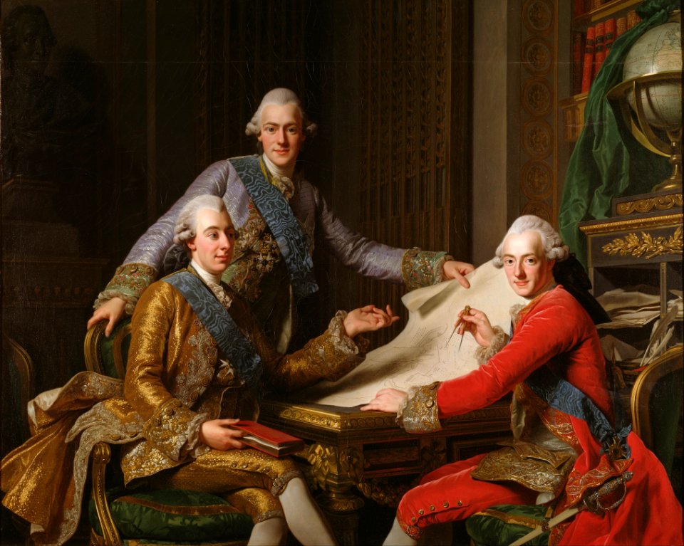
gustav iii
male
gemeente atlas van nederland - south holland
maps of den bommel
old maps in the bibliothèque nationale de france
old maps of the holy roman empire
maps from the earth and its inhabitants, vol. xii
canary islands in the 1890s
maps of ancient italy by philipp clüver
eran laor cartographic collection
history of yokohama
maps of yokohama
maps from university of amsterdam special collections
atlas der neederlanden
atlas van der hagen (volume 3)
atlas van der hagen
gemeente atlas van nederland - south holland
maps of groote lindt
german renaissance
stabius world map
maps of franconia by gerardus mercator
1640s maps of bavaria
1744 maps of quebec
saguenay river
daniel de la feuille
1747 maps of belgium
eran laor cartographic collection
clara filleul
old maps of arnemuiden
atlas van loon
candia in the 17th century
baroque
sanson maps of north america
maps by nicolas sanson
atlas maior, vol 5 (england) - joan blaeu, 1667 - bl 114.h(star).5
17th-century maps of brecknockshire
atlas maior, vol 6 (scotland and ireland) - joan blaeu, 1667 - bl 114.h(star).6
1667 maps
atlas maior, vol 6 (scotland and ireland) - joan blaeu, 1667 - bl 114.h(star).6
1667 maps
atlas maior, vol 7 (france i) - joan blaeu, 1667 - bl 114.h(star).7
1667 maps
atlas maior, vol 9 (italy) - joan blaeu, 1667 - bl 114.h(star).9
1667 maps of italy
atlas maior, vol 6 (scotland and ireland) - joan blaeu, 1667 - bl 114.h(star).6
1667 maps
atlas maior, vol 12 (america) - joan blaeu, 1667 - bl 114.h(star).12
1667 maps
atlas maior, vol 11 (asia) - joan blaeu, 1667 - bl 114.h(star).11
1667 maps
atlas maior, vol 9 (italy) - joan blaeu, 1667 - bl 114.h(star).9
1667 maps of italy
atlas maior, vol 10 (spain and africa) - joan blaeu, 1667 - bl 114.h(star).10
1667 maps
maps of the palatinate of the rhine
1692 maps of rhineland-palatinate
atlas maior, vol 7 (france i) - joan blaeu, 1667 - bl 114.h(star).7
1667 maps
atlas maior, vol 12 (america) - joan blaeu, 1667 - bl 114.h(star).12
1667 maps
atlas maior, vol 10 (spain and africa) - joan blaeu, 1667 - bl 114.h(star).10
1667 maps
atlas maior, vol 4 (netherlands) - joan blaeu, 1667 - bl 114.h(star).4
1667 maps
atlas maior, vol 6 (scotland and ireland) - joan blaeu, 1667 - bl 114.h(star).6
1667 maps
atlas maior, vol 5 (england) - joan blaeu, 1667 - bl 114.h(star).5
17th-century maps of hertfordshire
1610s maps of the iberian peninsula
maps by jodocus hondius
anthonis van den wijngaerde
old maps of barcelona
history of nord-pas-de-calais
ships on maps
17th-century maps of china
johan nieuhof
maps from the earth and its inhabitants, vol. x
1890 maps of africa
maps from the earth and its inhabitants, vol. x
1890 maps of africa
maps from the earth and its inhabitants, vol. x
1890 maps of africa
maps from the earth and its inhabitants, vol. x
1890 maps of africa
damascus in the 1750s
old maps of damascus
maps of san francisco bay
admiralty map details
maps by willem and johannes blaeu
old maps of damme
map of amsterdam by julius milheuser after daniël stalpaert, 1662
julius milheuser
truscott map of st-petersburg 1753
particular shipyard
map of amsterdam by julius milheuser after daniël stalpaert, 1662
julius milheuser
maps in the library of congress
1690s maps of the world
maps of the turks and caicos islands
1782 maps of the caribbean
maps by jan eduard wagner
františek kytka
map of the circle of austria by sanson
1670s maps of austria
maps of the basque autonomous community
1770 maps of spain
alessandro baratta
old maps of genoa
sanson maps of north america
maps by nicolas sanson
sanson maps of north america
maps by nicolas sanson
maps of castile by mercator-hondius
maps of castile by mercator-hondius
maps of moers by johannes mercator
old maps of valletta
baroque
cartography
maps
gemeente atlas van nederland - south holland
maps of veur
gemeente atlas van nederland - south holland
1860s maps of south holland
turgot map of paris, kyoto university library – derivative files
église sainte-opportune (paris)
gemeente atlas van nederland - north holland
19th-century maps of den helder
catalan atlas, 1959 reproduction
old maps of the sea of marmara
gemeente atlas van nederland - south holland
1860s maps of south holland
maps from the earth and its inhabitants, vol. xiii
1893 maps of africa
maps by willem and johannes blaeu
1659 maps
maps by willem and johannes blaeu
old maps of leiden
architectural drawings of luxembourg palace
historical images of luxembourg palace
the cruise of the alice may in the gulf of st. lawrence and adjacent waters (1885) by benjamin
maps from the mechanical curator collection
maps by alexis-hubert jaillot
maps by guillaume sanson
maps in the library of congress
1880 maps
maps in the library of congress
1960 maps of africa
drawings in the museu antônio parreiras
paper and graphite
gemeente atlas van nederland - south holland
1860s maps of south holland
maps by emanuel bowen
old maps of peru
illustrated title pages
1645 books
17th-century maps of iceland
atlas novus (blaeu)
maps by willem and johannes blaeu
old maps of groningen (city)
1640s maps of bavaria
atlas novus (blaeu)
maps by willem and johannes blaeu
1635 maps
1594 in aschaffenburg
1594 maps of bavaria
maps by willem and johannes blaeu
maps made in the 17th century
maps by willem and johannes blaeu
maps made in the 17th century
maps of paris from the stanford libraries
1650s maps of paris
description de l'universe
1683 maps of africa
old maps of the eastern hemisphere
1710s maps of the world
description de l'universe
1680s maps of the world
maps by jakob van der schley
old maps of southeast asia
john rocque 1746 london map (216 parts)
john rocque
john rocque 1746 london map (216 parts)
john rocque
john rocque 1746 london map (216 parts)
john rocque
john rocque 1746 london map (216 parts)
john rocque
john rocque 1746 london map (216 parts)
john rocque
drawings in the museu antônio parreiras
paper and charcoal
brazilian paintings in the museu antônio parreiras
textile and oil painting on canvas
maps of philippeville by braun & hogenberg
maps of mariembourg by braun & hogenberg
15401 - 15500 of 38,646
Next page
/ 387





![Stadsprofiel van] ROMA, 1704](https://cdn.creazilla.com/illustrations/10000357441/stadsprofiel-van-roma-1704-md.jpeg)


