En
Log in
All resources
Create a design
Tools
38,646 Free Artworks of Map
maps by girolamo porro
leonardo cernoti
girolamo porro
bibliothèque nationale de france
eran laor cartographic collection
english-language maps
emanuel bowen
maps of spain by tomas lopez
paper
latin-language maps
maps by girolamo porro
1598 maps of russia
maps of delft by braun & hogenberg
cartouche (cartography)
16th-century maps of rome
high renaissance
miniature speed atlas (1627) pieter van den keere
old maps of the orkney islands
duin en kruidberg, santpoort
maps of zuid-kennemerland
mississippian sites
plaquemine culture
maps by petrus schenk
1743 maps of germany
maps of the duchy of courland and semigallia
maps of the great northern war
ptolemy's 7th asian map
maps by girolamo porro
ptolemy's 7th european map
maps by girolamo porro
ptolemy's 6th asian map
maps by girolamo porro
ptolemy's 3rd european map
maps by girolamo porro
maps by girolamo porro
1598 maps of russia
ptolemy's 3rd asian map
maps by girolamo porro
ptolemy's 8th european map
maps by girolamo porro
ptolemy's 11th asian map
maps by girolamo porro
china veteribus sinarum regio nunc incolis tame dicta
old maps of china in harvard map collection
print room of the university of antwerp
plattegrond van antwerpen
drawings in the museu antônio parreiras
colored pencil
maps of bilbao by braun & hogenberg
bilbao
maps by emanuel bowen
1747 maps of africa
eran laor cartographic collection
emanuel bowen
eran laor cartographic collection
emanuel bowen
maps of the kingdom of córdoba (crown of castile)
maps of spain by tomas lopez
1852 maps of france
old maps of isère
charles-françois beautemps-beaupré
maps from gallica
maps by daniel lizars
1820 maps of asia
maps of raja ampat regency
dutch-language maps
maps in the british museum
maps of the irish sea
maps from traité de la police, bibliothèque nationale de france
first map of paris from traité de la police
maps from the earth and its inhabitants, vol. xi
africa in the 1890s
maps from the earth and its inhabitants, vol. xi
africa in the 1890s
description de l'universe
1680s maps of germany
old maps of narva
1700 maps
maps of london by braun & hogenberg
maps of old london (book)
media from regionaal archief alkmaar
maps of heiloo
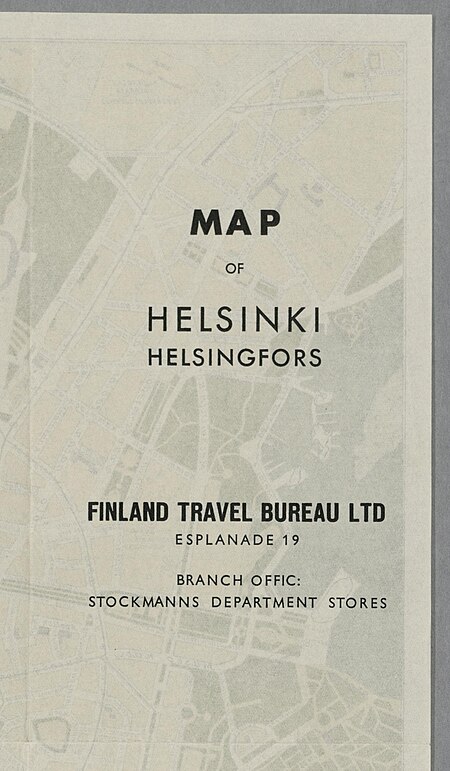
media from the national library of finland
classicism
flags of the russian navy on stamps
stamps of russia, 2008
maps of cagliari by braun & hogenberg
maps of valletta by braun & hogenberg
1858 van de velde maps of palestine and jerusalem
eran laor cartographic collection
1858 van de velde maps of palestine and jerusalem
eran laor cartographic collection
1858 van de velde maps of palestine and jerusalem
eran laor cartographic collection
historical images of abbaye de saint-germain-des-prés
foire saint-germain on old maps
1786 maps of spain
maps of el bierzo
maps of spain by tomas lopez
1784 maps of spain
maps of constantinople by braun & hogenberg
eran laor cartographic collection
maps by emanuel bowen
negroland
old maps of north america from the norman b. leventhal map center
1740 maps of north america
1800 maps of the atlantic ocean
1800s maps of the americas
17th-century maps of the british isles
maps by abraham ortelius
maps of ancient italy by philipp clüver
maps of ancient sicily
description de l'universe
1680s maps of ireland
maps by joachim bormeester
1680s maps of the world
gemeente atlas van nederland - south holland
maps of nieuwenhoorn
maps from the earth and its inhabitants, vol. xi
algeria in the 1800s
old maps of the hague
old maps of delfland
maps of bratislava by braun & hogenberg
eran laor cartographic collection
carte figurative de l'instruction populaire de la france
choropleth map
old maps of fictional countries
the lost princess of oz
map of bruges by marcus gheeraerts (i)
drawings in the groeningemuseum
maps in the library of congress
1768 maps of north america
18th-century double hemisphere world maps
1730s maps of the world
ducatus sleswicum sive justia australis
maps by johannes mejer
maps of oslofjorden
1584 maps of norway
maps of alsace by guillaume sanson
1660s maps of baden-württemberg
prato in the 20th century
maps of prato
ptolemy's 10th european map
maps by girolamo porro
ptolemy's 8th asian map
maps by girolamo porro
ptolemy's 1st asian map
maps by girolamo porro
ptolemy's 6th european map
maps by girolamo porro
ptolemy's 5th asian map
maps by girolamo porro
maps of île d'oléron
atlas maior
ptolemy's 10th asian map
maps by girolamo porro
ptolemy's 2nd european map
maps by girolamo porro
ptolemy's 1st european map
maps by girolamo porro
maps by christian sgrothen
manuscript maps
ptolemy's 9th asian map
maps by girolamo porro
map of bruges by marcus gheeraerts (i)
drawings in the groeningemuseum
gemeente atlas van nederland - south holland
1860s maps of south holland
syria in the 1940s
arthur blackburn
old maps of ghent by jacques horenbault
sint-amandsberg
maps in the british museum
jan claesz ten hoorn
maps of the course of the rhine by guillaume sanson
bibliothèque nationale de france
map of the upper rhenian circle by sanson
maps by nicolas sanson
maps of spain by tomas lopez
1761 maps of spain
maps of spain by tomas lopez
1761 maps of spain
eran laor cartographic collection
avraham leib monsohn
maps by louis brion de la tour
1766 maps of africa
maps of ottoman algeria
old maps of algiers
media from regionaal archief alkmaar
old maps of schagen
avenionensis ditio et venaisinus comitatus (galleria delle carte geografiche)
maps of the iberian peninsula by guillaume delisle
1700s maps of the iberian peninsula
1777 maps of new york (state)
maps of the hudson river
recueil d'antiquités égyptiennes, étrusques, greques et romaines (1752)
18th-century maps of paris
maps of the west-indische compagnie
old maps of dutch brazil
18th-century maps of panama
war of jenkins' ear
maps from the earth and its inhabitants, vol. xiii
maps of africa
maps by daniel lizars
1831 maps of mexico
curt teich postcard archives
map postcards
images of places from encyclopædia britannica
old maps of glasgow
14301 - 14400 of 38,646
Next page
/ 387