En
Log in
All resources
Create a design
Tools
38,646 Free Artworks of Map
bibliothèque nationale de france
eran laor cartographic collection
gemeente atlas van nederland - south holland
1860s maps of south holland
1667 maps
copper engraving print
british library
joan blaeu
maps by willem and johannes blaeu
1660s maps of spain
hoogheemraadschap rijnland map, 2nd edition, 1687
linen
1890s maps of the philippines
old maps of papua new guinea
eran laor cartographic collection
michael burghers
map of ghent by hadrianus barlandus
maps of ghent by braun & hogenberg
maps of san juan, puerto rico
atlas blaeu-van der hem
eran laor cartographic collection
john cary
eran laor cartographic collection
edward weller
eran laor cartographic collection
emanuel bowen
maps of denmark by gerardus mercator
maps by willem and johannes blaeu
carte de la mer mediterranée (1764) by roux
eran laor cartographic collection
eran laor cartographic collection
gustav freytag (cartographer)
old maps of languedoc
1631 maps
native american history of virginia
17th-century maps of virginia
guide joanne espagne et portugal-1915
1915 maps
gemeente atlas van nederland - south holland
19th-century maps of rotterdam
kingdom of serbia (1718–1739)
1730s maps of serbia
gemeente atlas van nederland - south holland
maps of abbenbroek
19th-century maps of nigeria
maps of niger delta
maps by pieter van der keere
old maps of north brabant
historisk atlas (stockholm, norstedt & söner, 1880)
old maps of the carolingian empire
atlas van loon
1664 maps
1807 maps of canada
maps by john cary
maps from the mechanical curator collection available to georeference
maps from the mechanical curator collection
extracts from carta hydrographica y chorographica de las yslas filipinas
baroque painting
shober & carqueville lithographing company
maps in the library of congress
hamburg in the 16th century
maps of hamburg-altstadt
gemeente atlas van nederland - south holland
1860s maps of south holland
gemeente atlas van nederland - south holland
1860s maps of south holland
1780s maps of portugal
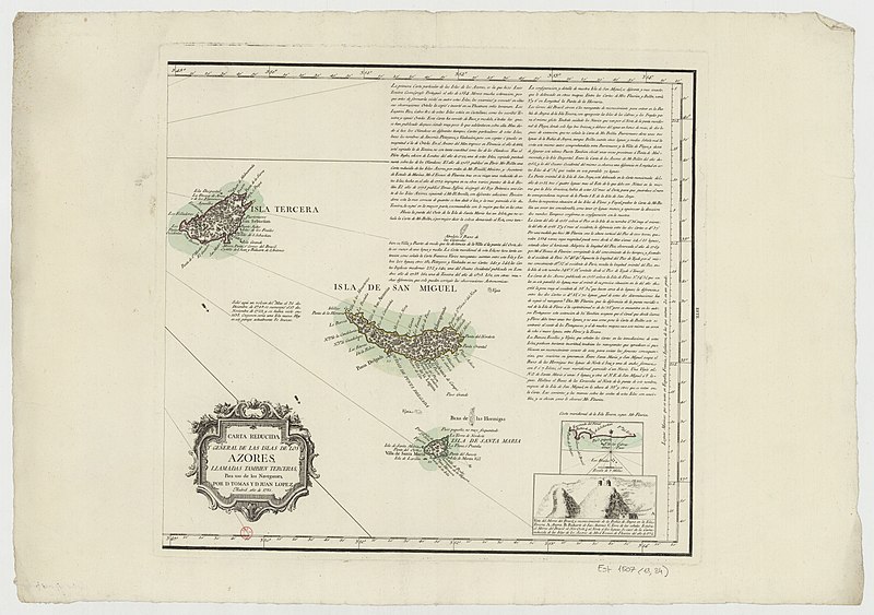
maps by tomas lopez
1770s maps of portugal
1770 maps of spain
17th-century maps of central america
description de l'universe
map of ghent by pierre husson
1660s maps of spain
1667 maps
gemeente atlas van nederland - south holland
1860s maps of south holland
guide joanne normandie-1912
1912 maps of france
maps of spain by tomas lopez
1779 maps of spain
18th-century maps of the azores
1780s maps of portugal
maps in the british museum
1610s maps of ireland
maps by pieter van der keere
1610s maps of belgium
synopsis universae philologiae
1741 maps of europe
maps of luxembourg city walls
old maps of luxembourg city
old maps of pyrénées-orientales
1852 maps of france
1760s maps of ireland
1766 maps
atlas maior, vol 11 (asia) - joan blaeu, 1667 - bl 114.h(star).11
1667 maps
1660s maps of spain
1667 maps
pictorial maps of the world
1876 maps of the world
maps of tangier by braun & hogenberg
maps of safi by braun & hogenberg
maps by pieter van der keere
old maps of basel
maps by matthäus merian
baroque
maps of the history of the united states
old maps of the british empire
1665 maps of ukraine
1665 maps
den danske hærs historie til nutiden og den norske hærs historie indtil 1814
maps from the mechanical curator collection
maps of brest from bibliothèque nationale de france
maps from gallica
maps in the british museum
jan baptist berterham
17th-century maps of jerusalem
1657 maps
maps of the indigenous peoples of north america
renaissance
johannes nessel
1658 maps
old county maps of oxfordshire
bodleian maps collection
sicilia (galleria delle carte geografiche)
1580s maps of sicily
turgot map of paris, kyoto university library – derivative files
foire saint-germain on old maps
1858 van de velde maps of palestine and jerusalem
1850s maps of jerusalem
1600s maps of mecklenburg-vorpommern
maps of rügen by eilhard lubinus
old maps of manhattan, new york city
croton aqueduct
nouvelle géographie universelle, vol. xii
charles eugène perron
africa and its inhabitants, vol. ii
charles eugène perron
tourism advertising posters of germany
1935 maps of germany
maps of paris from bibliothèque nationale de france
nouveau plan de paris by louis brion de la tour
guide joanne normandie-1912
1912 maps of france
guide joanne normandie-1912
1912 maps of france
suecia antiqua et hodierna, volume 1
17th-century maps of sweden
tabula peutingeriana
classicism
old maps of regions of france
pierre françois tardieu
old maps of rhineland-palatinate
baroque
maps of st kilda
norman heathcote
eran laor cartographic collection
joseph schwarz
gemeente atlas van nederland - south holland
maps of hendrik-ido-ambacht
maps of spain by tomas lopez
old maps of lanzarote
maps of edinburgh by braun & hogenberg
18th-century maps of scotland
maps of the dutch east india company - indonesia
1650s maps of indonesia
coats of arms on maps
ships on maps
old maps of north rhine-westphalia
maps of the county of mark
maps of paris from the university of wisconsin-milwaukee libraries
plan de roussel
maps by willem and johannes blaeu
17th-century images of algiers
1660s maps of spain
1667 maps
1660s maps of spain
1667 maps
1660s maps of spain
1667 maps
the holy land, syria, idumea, arabia, egypt, and nubia, volume 3
1840s maps of palestine
map of amsterdam, 1544
ink and paper
maps by nicolaes visscher i
1630s maps of pernambuco
maps in the rijksmuseum amsterdam
1820s maps of europe
media from the national library of finland
classicism
maps of paris by braun & hogenberg
1572 in paris
old maps of sierra leone
1662 maps
gemeente atlas van nederland - south holland
maps of south holland
1760s maps of north rhine-westphalia
düsseldorf in the 1760s
gemeente atlas van nederland - north holland
old maps of amsterdam
hoogheemraadschap rijnland map, 2nd edition, 1687
linen
balthasar florisz. van berckenrode
eran laor cartographic collection
maps in the library of congress
1747 maps of new jersey
maps in the library of congress
1885 maps of new york (state)
13601 - 13700 of 38,646
Next page
/ 387