En
Log in
All resources
Create a design
Tools
38,646 Free Artworks of Map
bibliothèque nationale de france
maps by willem and johannes blaeu
eran laor cartographic collection
maps in the british museum
paper
british museum
maps of paris from bibliothèque nationale de france
john cary
joan blaeu
turgot map of paris, bibliothèque nationale de france
turgot map of paris, bibliothèque nationale de france
maps of paris from bibliothèque nationale de france
turgot map of paris, bibliothèque nationale de france
maps of paris from bibliothèque nationale de france
turgot map of paris, bibliothèque nationale de france
maps of paris from bibliothèque nationale de france
turgot map of paris, bibliothèque nationale de france
maps of paris from bibliothèque nationale de france
gemeente atlas van nederland - utrecht
old maps of amersfoort
old maps of the history of oceania
maps by john cary
18th-century maps of new orleans
maps in the library of congress
maps of cities in venezuela
maps by juan lopez
1891 maps of austria-hungary
maps from gallica
gemeente atlas van nederland - south holland
strevelshoek
maps of the yucatan peninsula
1801 maps of north america
maps of paris from bibliothèque nationale de france
nouveau plan de paris by louis brion de la tour
maps of tunis by braun & hogenberg
eran laor cartographic collection
eran laor cartographic collection
johannes condet
chicago and the midwest, newberry library
maps by rand mcnally
eran laor cartographic collection
michael burghers
maps of spain by tomas lopez
1760 maps of spain
19th-century maps of the ottoman empire
maps in the british museum
maps from the mechanical curator collection
1887 maps of sudan
french-language maps
david du vivier
historical images of the moscow kremlin
17th-century maps of moscow
old maps of hugli-chuchura
chinsurah
eran laor cartographic collection
german renaissance,humanism
maps by johann christoph weigel
maps by christoph weigel
maps of alsace by guillaume sanson
maps by alexis-hubert jaillot
maps by emanuel bowen
robert sayer
print room of the university of antwerp
citadel van antwerpen
1660s maps of spain
1667 maps
monsters on maps
ships on maps
atlas novus (blaeu)
1640s maps of paris
maps of spain by tomas lopez
1761 maps of spain
maps from the earth and its inhabitants, vol. xii
africa in the 1890s
maps from the earth and its inhabitants, vol. xii
africa in the 1890s
sanborn maps of manhattan published in 1903
gramercy park
maps from the mechanical curator collection available to georeference
maps from the mechanical curator collection
gemeente atlas van nederland - south holland
old maps of eiland van dordrecht
maps in the british museum
maps by pieter mortier
map of ghent by pierre husson
moll's map collection
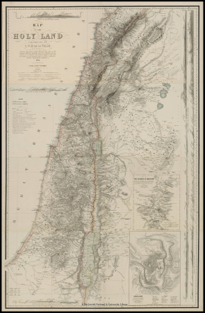
1858 van de velde maps of palestine and jerusalem
1850s maps of lebanon
english county maps by john ogilby
old county maps of middlesex
eran laor cartographic collection
jean-claude richard de saint-non
maps in the british museum
georg friedrich schmidt
maps in the british museum
georg friedrich schmidt
maps in the british museum
maps by john cary
armillary spheres in art
1770s maps of the world
eran laor cartographic collection
emanuel bowen
maps of the kingdom of kongo
maps by petrus bertius
eran laor cartographic collection
emanuel bowen
historical images of the jardin du luxembourg
maps of jardin du luxembourg
maps by willem and johannes blaeu
old maps of the republic of genoa
historical images of the hôtel d'angoulême lamoignon
turgot map of paris – derivative files
maps by willem and johannes blaeu
old maps of bolsward
sea of japan naming dispute
18th-century maps of japan
jodocus hondius ii, nova totius terrarum orbis geographica ac hydrographica tabula, 1636
map
1660s maps of spain
1667 maps
1590s maps of the world
maps by girolamo porro
maps by girolamo ruscelli
maps by girolamo porro
old maps of kea (cyclades)
description de l'universe
1907 maps of the world
maps by girolamo porro
maps by willem and johannes blaeu
maps of barbary coast
atlas geographico del reyno de españa e islas adjacentes (1757)
1757 maps of spain
maps in the british museum
old maps of dunkerque
19th-century double hemisphere world maps
1800s maps of the world
1831 maps of new york (state)
old maps of lower manhattan
bodleian maps collection
leo belgicus
16th-century maps of the indian ocean
renaissance
17th-century maps of the mediterranean sea
description de l'universe
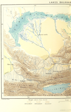
maps from the earth and its inhabitants, vol. vi
old maps of kyrgyzstan
maps from the earth and its inhabitants, vol. vi
old maps of kyrgyzstan
18th-century maps of antwerp
maps of antwerp city walls
maps by willem and johannes blaeu
old maps of breda, netherlands
maps by jakob van der schley
1753 maps
maps from the earth and its inhabitants, vol. x
1890 maps of africa
william hole (engraver)
michael drayton
maps from university of amsterdam special collections
atlas der neederlanden
maps by john cary
1801 maps
maps by willem and johannes blaeu
atlas van loon
curt teich postcard archives, curt teich & company
map postcards
maps from the earth and its inhabitants, vol. xii
africa in the 1890s
siege of steenwijk 1592
maps of steenwijk
maps made in the 17th century
old maps of sicily
maps of liège in the 17th century
baroque
maps of paris from paris musées
dheulland map of paris
maps made in the 17th century
old maps of lindau (bodensee)
führer durch dalmatien (1899)
old maps of dalmatia
files based of data provided by the czech office for surveying and cadastre
svatý mikuláš (kutná hora district)
17th-century maps of bremen (state)
1600s maps of lower saxony
maps in the library of congress
maps of alexandria, virginia
maps in the british museum
georg friedrich schmidt
chicago and the midwest, newberry library
old maps of chicago
monsters on maps
ships on maps
1640s maps of asia
stefano scolari
1810 maps of north america
1810 maps of mexico
coats of arms on maps
ships on maps
eran laor cartographic collection
german renaissance,humanism
old maps of fictional countries
old maps of new zealand
gemeente atlas van nederland - south holland
maps of heenvliet
alphonsus lasor a varea
maps by jodocus hondius
maps from the earth and its inhabitants, vol. iv
chorley, england
atlas maior, vol 5 (england) - joan blaeu, 1667 - bl 114.h(star).5
1667 maps
13401 - 13500 of 38,646
Next page
/ 387