En
Log in
All resources
Create a design
Tools
81,839 Free Images of Subject
bibliothèque nationale de france
marco boschini
maps of ports and fortresses of the mediterranean by marco boschini (1651)
atlas géographique des quatre parties du monde (delisle)
guillaume sanson
alsace-lorraine. carte départementale. moselle, meurthe, bas-rhin, haut-rhin - btv1b85935488
maps from gallica
carte de la moldavie pour servir à l'histoire militaire de la guerre entre les russes et les turcs - levés par l'etat-major sous la direction de f.g. de bawz... echelle de 10 heures de moldavie, 50... - btv1b53100577d
leonard schenk jansz.
baroque
maps from gallica
guides joanne
map of the upper rhenian circle by sanson
1700s maps of north rhine-westphalia
old maps of asturias
1777 maps of spain
1780s maps of tunisia
1780s maps of libya
maps of los palacios by braun & hogenberg
maps of las cabezas by braun & hogenberg
maps of spain by tomas lopez
1769 maps of spain
deutsche plastik des mittelalters (1909)
erasmus grasser
pre-raphaelite brotherhood,symbolism
effie deans
comprehensive catalogue of queensland plants, both indigenous and naturalised (1909)
frederick hendrick van den hove
a voice from the congo - comprising stories, anecdotes, and descriptive notes (1910)
lion fur-skins in art
william callow, r. w. s., f. r. g. s. (1908)
buildings in potsdam in art
1910 books from the united states
historical fiction
china, the scenery, architecture, and social habits of that ancient empire
w. floyd
british birds by archibald thorburn
apus apus (illustrations)
historical images of nevsky prospekt
all the russias (1902)
animal painters of england from the year 1650
romanticism
the story of isaac brock, hero, defender and saviour of upper canada, 1812 (1908)
1908 books
people of savannah, georgia
illustrations of uniforms
florence in poetry, history and art (1913)
venetian school,high renaissance
the book of dogs; an intimate study of mankind's best friend (1919)
dogs in art
sir lawrence alma-tadema, o.m., r.a. (1905)
neo-pompeian
17th-century persian miniatures
suleiman i of persia
zarathustra's roundelay
pointillism
busts by auguste clésinger
romanticism
samuel putnam avery collection
benjamin fillon
antoine-françois tardieu
pierre antoine tardieu
zarathustra's roundelay
pointillism
paintings by stanislav yulianovich zhukovsky in the national arts museum of the republic of belarus
realism
19th-century female hair fashion in art
queen louise of prussia (grassi)
coloured lithographs in the british museum
hugues fourau
watercolor paintings in the rijksmuseum amsterdam
drawings of winter in the rijksmuseum amsterdam
embroidery and lace- their manufacture and history from the remotest antiquity to the present day. a handbook for amateurs, collectors and general readers (1888)
prints by abraham bosse
george vertue
david loggan
etchings by pieter van laer in the rijksmuseum amsterdam
baroque
sculptures at the lewis and clark centennial exposition
native americans in art
children
school
children
school
paintings in the aga khan museum
abu al-hasan (mughal painter)
self-portrait prints
1941 lithographs
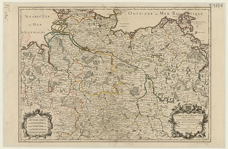
map of the circle of lower saxony by sanson
bibliothèque nationale de france
sanson map of the german empire (17th century)
sanson maps of the circles of germany
atlas géographique des quatre parties du monde (delisle)
18th-century maps of france
maps of ports and fortresses of the mediterranean by marco boschini (1651)
bibliothèque nationale de france
alsace-lorraine. carte départementale. moselle, meurthe, bas-rhin, haut-rhin - btv1b85935488
bibliothèque nationale de france
atlas géographique des quatre parties du monde (delisle)
french-language title pages
maps of ports and fortresses of the mediterranean by marco boschini (1651)
old maps of kythira
bibliothèque nationale de france
guillaume sanson
general charte der in den herzoglich bremen - und verdenschen aemtern und gerichten ottersberg, osterholtz, lilienthal, bremervörde, rotenburg und achim belegenen mööre, und der seit 1750 darin... - btv1b531196435
bibliothèque nationale de france
partie méridionale des estats de savoye ou sont le duché de savoye - par le sr sanson d'abbeville - btv1b530430656
guillaume sanson
bibliothèque nationale de france
guillaume sanson
atlas géographique des quatre parties du monde (delisle)
folded maps
abbildung des ohrts iringen und wie selbiger von georg fridrichen margrafen zu baden verschantzet worden, anno 1621 - btv1b53238701j
baroque
maps of ports and fortresses of the mediterranean by marco boschini (1651)
bibliothèque nationale de france
alsace-lorraine. carte départementale. moselle, meurthe, bas-rhin, haut-rhin - btv1b85935488
bibliothèque nationale de france
bibliothèque nationale de france
cartouches by tomas lópez
carte de la mer méditerranée en trois feuilles (dheulland et al.)
18th-century maps of the western mediterranean
johannes leupenius
jacobus robijn
carte de l'alsace by sanson (1703)
bibliothèque nationale de france
maps of ports and fortresses of the mediterranean by marco boschini (1651)
bibliothèque nationale de france
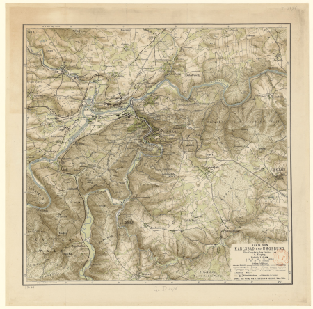
gustav freytag (cartographer)
old maps of karlovy vary
maps of ports and fortresses of the mediterranean by marco boschini (1651)
bibliothèque nationale de france
atlas géographique des quatre parties du monde (delisle)
map of europe by guillaume delisle (1700)
map of the circle of franconia by sanson
bibliothèque nationale de france
maps of ports and fortresses of the mediterranean by marco boschini (1651)
bibliothèque nationale de france
carte de la moldavie pour servir à l'histoire militaire de la guerre entre les russes et les turcs - levés par l'etat-major sous la direction de f.g. de bawz... echelle de 10 heures de moldavie, 50... - btv1b53100577d
leonard schenk jansz.
maps of ports and fortresses of the mediterranean by marco boschini (1651)
bibliothèque nationale de france
general charte der in den herzoglich bremen - und verdenschen aemtern und gerichten ottersberg, osterholtz, lilienthal, bremervörde, rotenburg und achim belegenen mööre, und der seit 1750 darin... - btv1b531196435
bibliothèque nationale de france
bibliothèque nationale de france
prints by martin engelbrecht
maps of cadiz by braun & hogenberg
bibliothèque nationale de france
atlas géographique des quatre parties du monde (delisle)
18th-century maps of africa
maps from gallica
guides joanne
maps by alexis-hubert jaillot
old maps of duchy of cleves
alsace-lorraine. carte départementale. moselle, meurthe, bas-rhin, haut-rhin - btv1b85935488
bibliothèque nationale de france
maps of ports and fortresses of the mediterranean by marco boschini (1651)
bibliothèque nationale de france
atlas géographique des quatre parties du monde (delisle)
18th-century maps of the world
general charte der in den herzoglich bremen - und verdenschen aemtern und gerichten ottersberg, osterholtz, lilienthal, bremervörde, rotenburg und achim belegenen mööre, und der seit 1750 darin... - btv1b531196435
bibliothèque nationale de france
bibliothèque nationale de france
guillaume sanson
carte de barbarie, nigritie, guinée par guillaume delisle (1707)
bibliothèque nationale de france
maps of ports and fortresses of the mediterranean by marco boschini (1651)
bibliothèque nationale de france
scenes from thebaid - cut up panel of fra angelico
italian renaissance,early renaissance
maps of ports and fortresses of the mediterranean by marco boschini (1651)
bibliothèque nationale de france
abbildung des ohrts iringen und wie selbiger von georg fridrichen margrafen zu baden verschantzet worden, anno 1621 - btv1b53238701j
baroque
carte de la moldavie pour servir à l'histoire militaire de la guerre entre les russes et les turcs - levés par l'etat-major sous la direction de f.g. de bawz... echelle de 10 heures de moldavie, 50... - btv1b53100577d
leonard schenk jansz.
bibliothèque nationale de france
guillaume sanson
carte de la moldavie pour servir à l'histoire militaire de la guerre entre les russes et les turcs - levés par l'etat-major sous la direction de f.g. de bawz... echelle de 10 heures de moldavie, 50... - btv1b53100577d
leonard schenk jansz.
sanson maps of the circles of germany
bibliothèque nationale de france
17th-century maps of egypt
philippe de la rué
maps of ports and fortresses of the mediterranean by marco boschini (1651)
bibliothèque nationale de france
carte de la moldavie pour servir à l'histoire militaire de la guerre entre les russes et les turcs - levés par l'etat-major sous la direction de f.g. de bawz... echelle de 10 heures de moldavie, 50... - btv1b53100577d
leonard schenk jansz.
maps of the islands of greece by marco boschini (1658)
old maps of kinaros and levitha
alsace-lorraine. carte départementale. moselle, meurthe, bas-rhin, haut-rhin - btv1b85935488
bibliothèque nationale de france
maps of ports and fortresses of the mediterranean by marco boschini (1651)
bibliothèque nationale de france
les duchés de cleves, juliers, limbourg (etc.) by jaillot
bibliothèque nationale de france
pieter verbiest (ii)
maps from gallica
map of the circle of westfalia by sanson
1680s maps of germany
alsace-lorraine. carte départementale. moselle, meurthe, bas-rhin, haut-rhin - btv1b85935488
bibliothèque nationale de france
maps of ports and fortresses of the mediterranean by marco boschini (1651)
bibliothèque nationale de france
bibliothèque nationale de france
guillaume sanson
atlas géographique des quatre parties du monde (delisle)
folded maps
maps of ports and fortresses of the mediterranean by marco boschini (1651)
bibliothèque nationale de france
28701 - 28800 of 81,839
Next page
/ 819