En
Log in
All resources
Create a design
Tools
3,688 Free Images of Navigation
travel
engraving
geography
grabados
fondo antiguo
navegación
viajes
libros del siglo xvi
geografía. descripciones. viajes
books of 16th century
ships on the river tyne
john scott (painter)
images from the steamship historical society of america
louis honoré frédéric gamain
south america
grassland
admiralty charts region b: england wales ireland english channel southern north sea
admiralty charts 1801-2000
admiralty charts 2601-2800
achill head
mapping
human
native hawaiians in art
warriors in art
navigation and mapping pack
navigation
south america
7
south america
7
travel
maps
the new cut canal
1736 fleurons
the new cut canal
1736 fleurons
the new cut canal
1736 fleurons
19th-century oil marine paintings
hugo schnars-alquist
the new cut canal
1736 fleurons
the new cut canal
1736 fleurons
the new cut canal
1736 fleurons
the new cut canal
1736 fleurons
portraits of persons distinguished merit in the war of 1853-1856
vasily zavoyko
historical
history
pierre langlumé
montréal
card
1736 fleurons - friezes
the new cut canal
historical images of canal saint-martin
engravings of paris
futuristic
navigation
bibliothèque nationale de france
félix robaut
storie di sant'orsola by tommaso da modena, musei civici di treviso - la navigazione verso roma
may 2024 in treviso
admiralty charts 2601-2800
sligo bay
historical
history
portrait of christopher columbus by ridolfo del ghirlandaio
ridolfo ghirlandaio
motorcycle
london
line md pack
left
mapping
maps
black and white photographs of jamaica
allison v. armour expedition
checkflickrstar
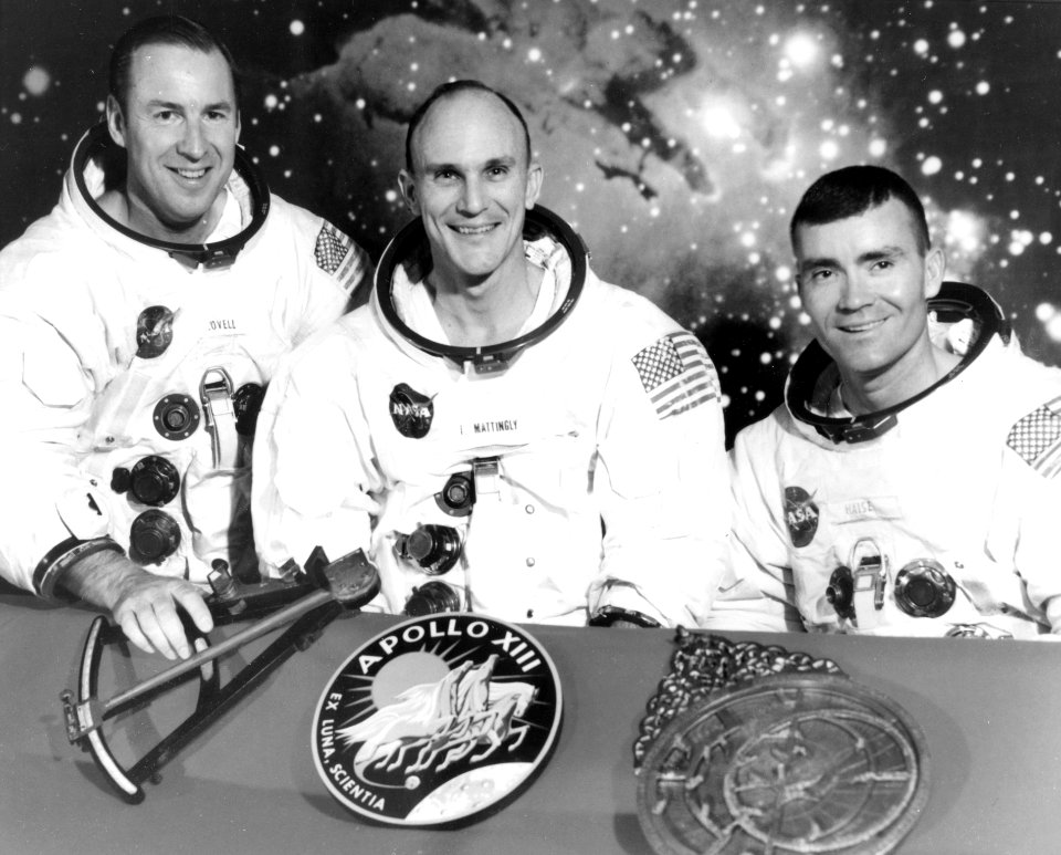
apollo 13
navigation
blue
south america
wat
admiralty charts region b: england wales ireland english channel southern north sea
admiralty charts 2401-2600
travel
maps
admiralty charts region r: usa and mexico west coasts
admiralty charts 1801-2000
vrac dld 2016
checkflicr
admiralty charts region c: scotland
admiralty charts 1801-2000
maps
book
maps
gps
historical
history
historical
history
old maps of the tuamotus
old maps of polynesia
the illustrated london news 1850
frederick james smyth
navigation
exercise
navigation
exercise
1905 oil on canvas paintings
galton bridge
continent
africa
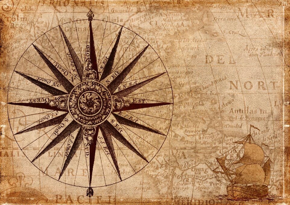
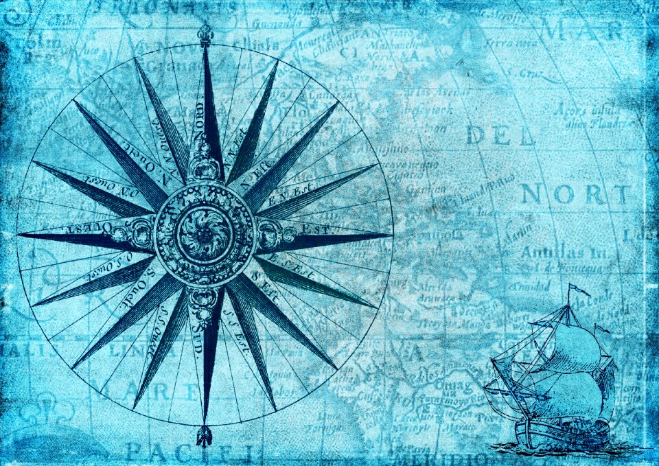
nautical
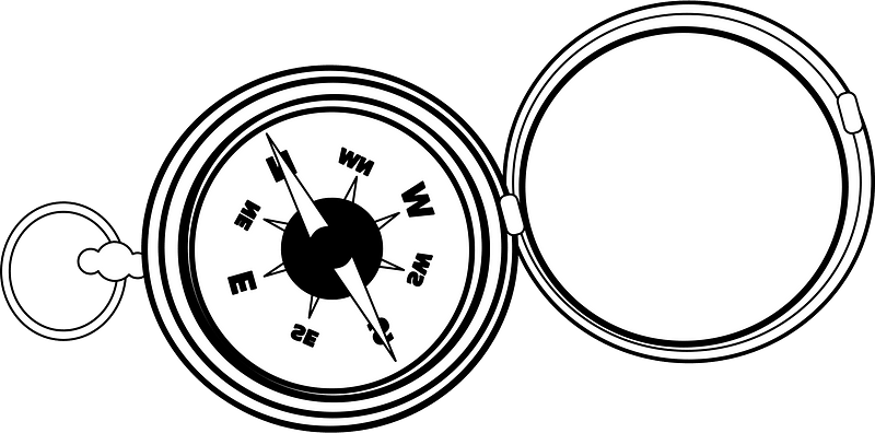
compass
compass
north
navigation
ship
admiralty charts region u: north america east coast
admiralty charts 201-400
checkflicr
trekking
admiralty charts 1001-1200
avacha bay
architecture
checkflicr
john of portugal, lord of reguengos de monsaraz
saint vincent panels, fifth panel
compass
north
colorful pack
color
nautical
compass
admiralty charts 2601-2800
blacksod bay
vehicle
water
views from admiralty charts
richard brydges beechey
history of new south wales
james cook
views from admiralty charts
richard brydges beechey
historical
history
fb event cover
draft
instagram ad
draft
viage á constantinopla, en el año de 1784 (1790)
admiralty charts region c: scotland
admiralty charts 2801-3000
sci-fi
tank
vehicle
water
navigation
exercise
compass
arrow
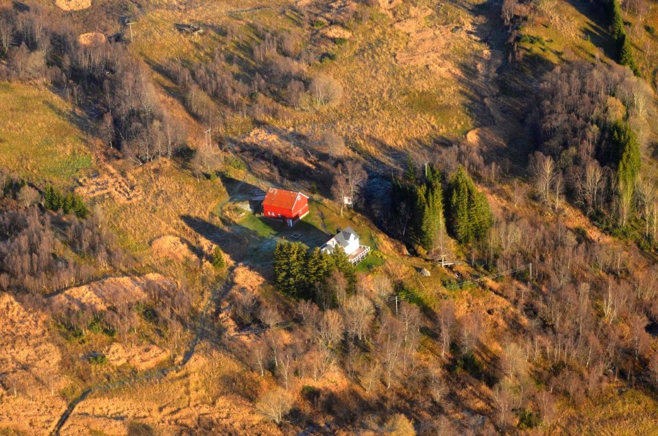
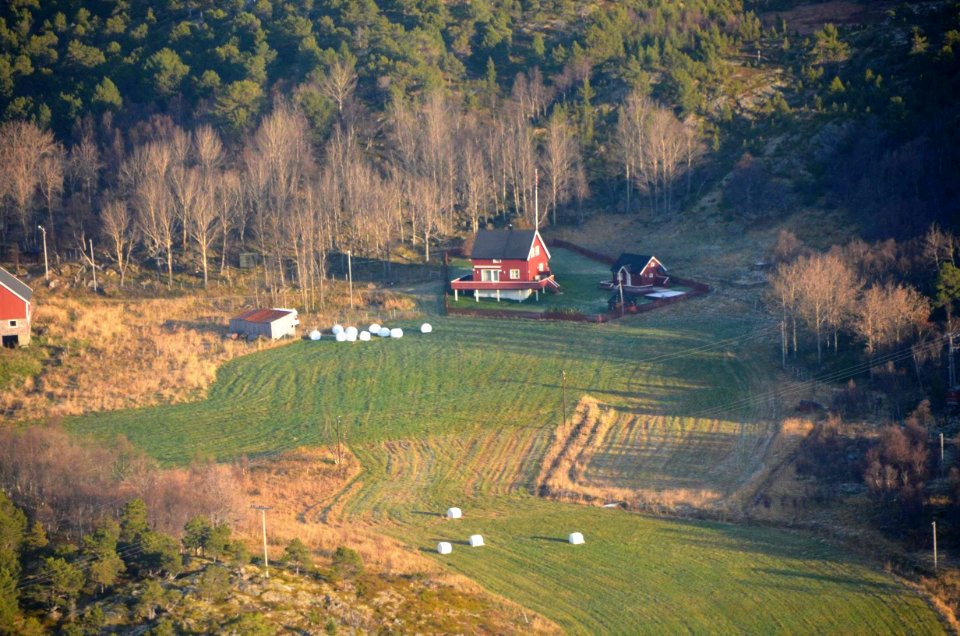
landscape
autumn
historical views of hamburg in the staatsbibliothek hamburg
german romanticism
views from admiralty charts
san francisco bay
1898 paintings by john singer sargent
impressionism
pointillism,les nabis
henry de monfreid
geography
travel
geography
travel
geography
travel
geography
travel
geography
travel
geography
travel
geography
travel
geography
travel
geography
travel
geography
travel
geography
travel
geography
travel
geography
travel
geography
travel
geography
travel
geography
travel
navigation
ic
2801 - 2900 of 3,688
Next page
/ 37