En
Log in
All resources
Create a design
Tools
357,572 Free Images of Maps
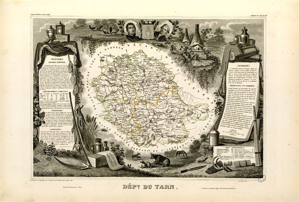
fonds ancely - bibliothèque municipale de toulouse - maps
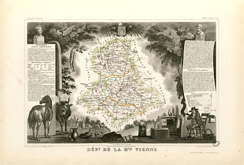
victor levasseur - maps of france
maps in the library of congress
geography
atlas de wit 1698
pieter van der keere
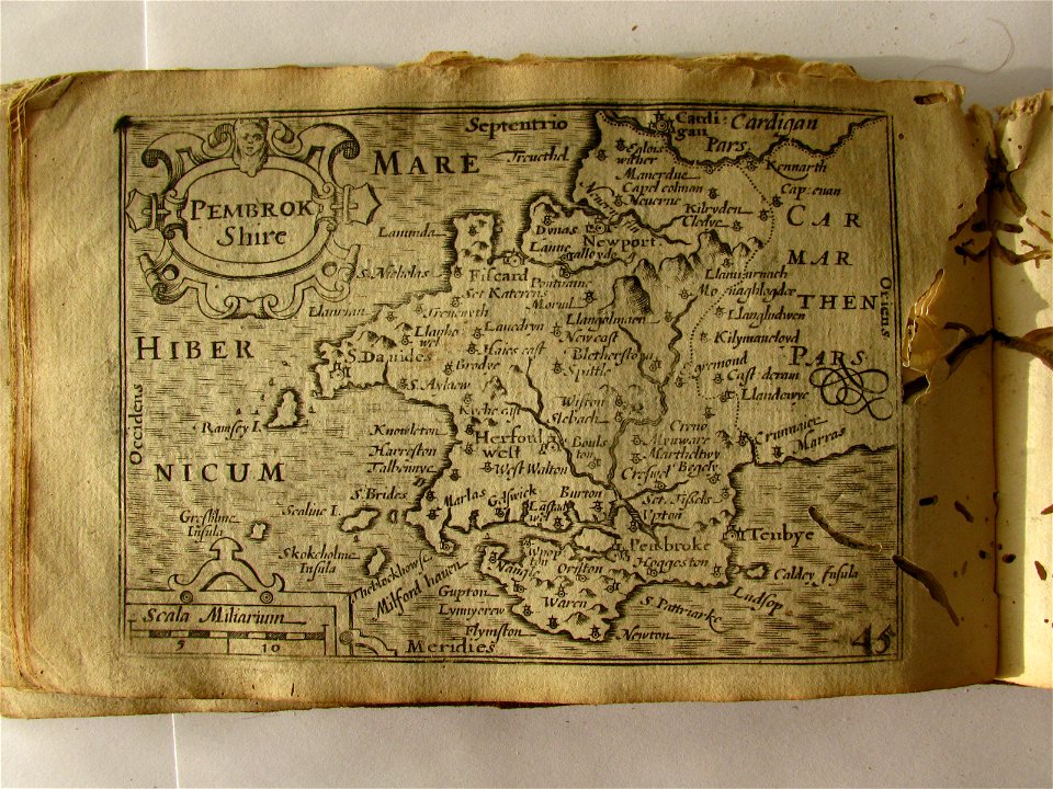
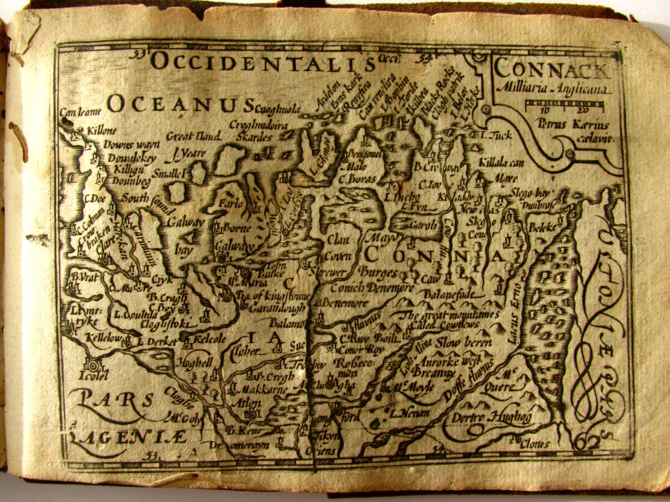
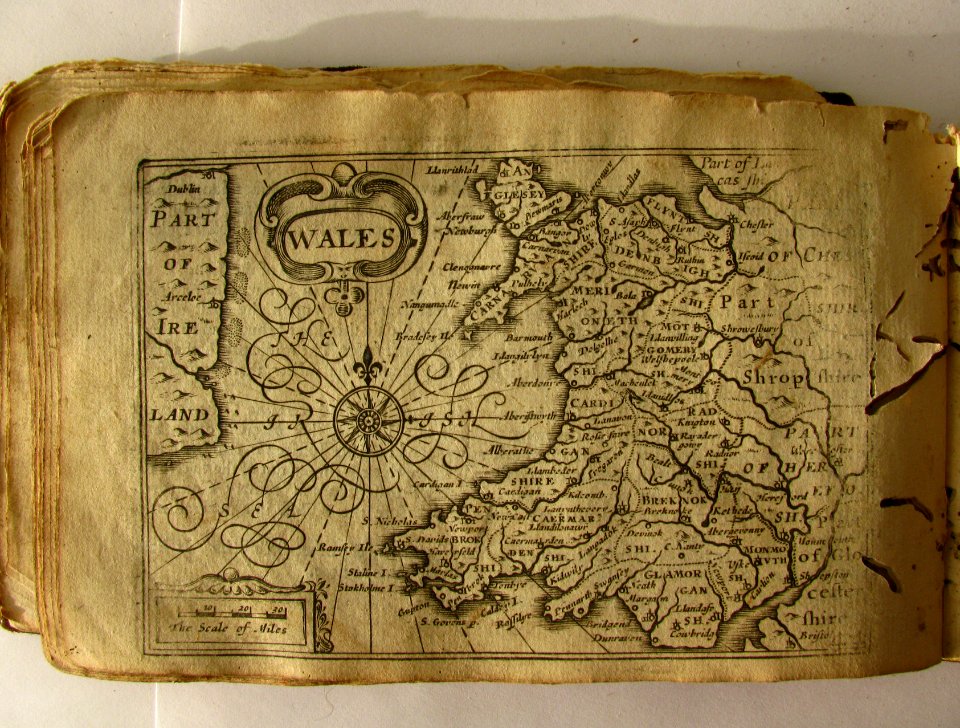
miniature speed atlas (1627) pieter van den keere
maps from the mechanical curator collection
frédéric-auguste laguillermie
albert ruger
ms. ludwig xv 4 (getty museum) - bird book of hugo fouilloy
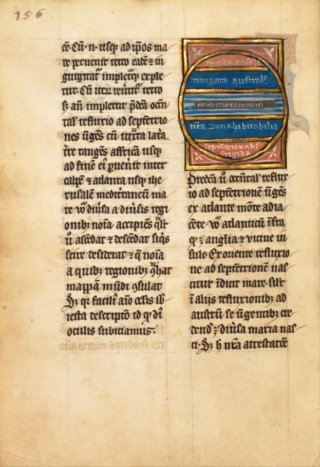
13th-century maps of the world
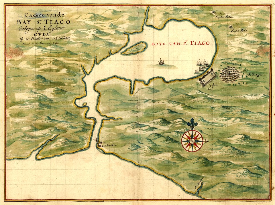
maps of the west-indische compagnie
1732
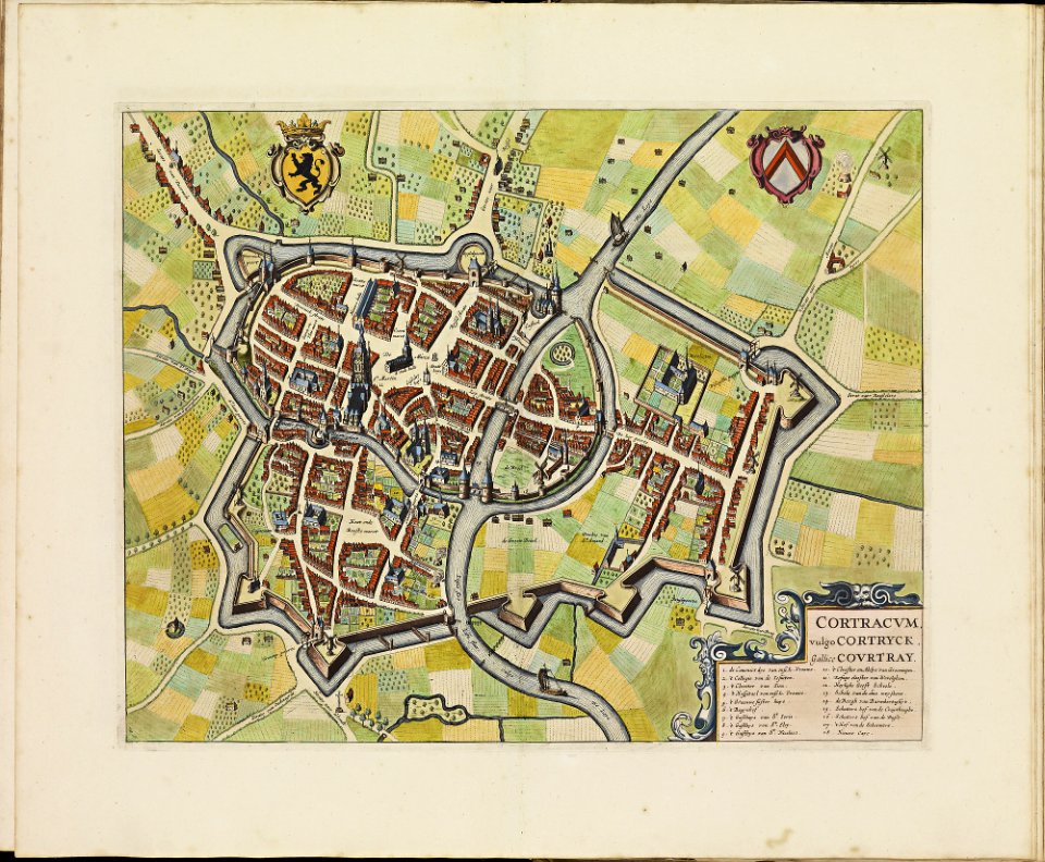
old maps of kortrijk
atlas de wit 1698
media in the houghton library
harvard university
maps made in the 17th century
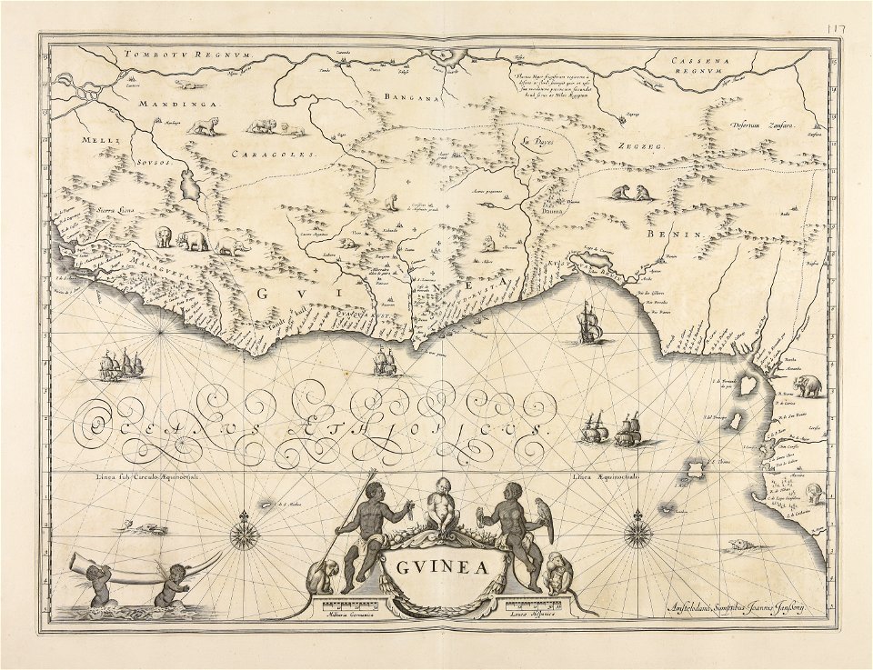
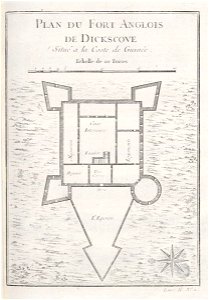
old maps of guinea
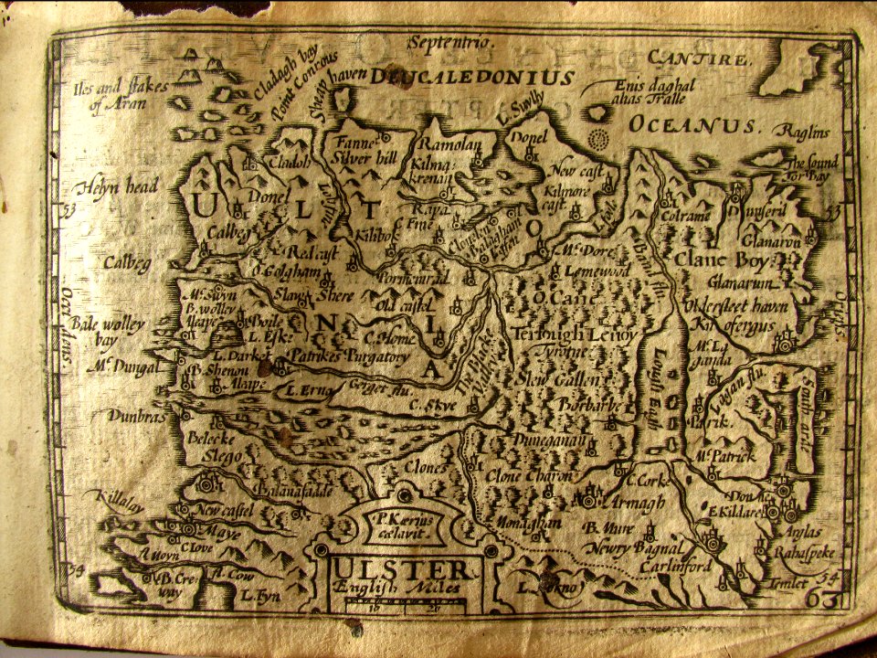
miniature speed atlas (1627) pieter van den keere
pieter van der keere
miniature speed atlas (1627) pieter van den keere
pieter van der keere
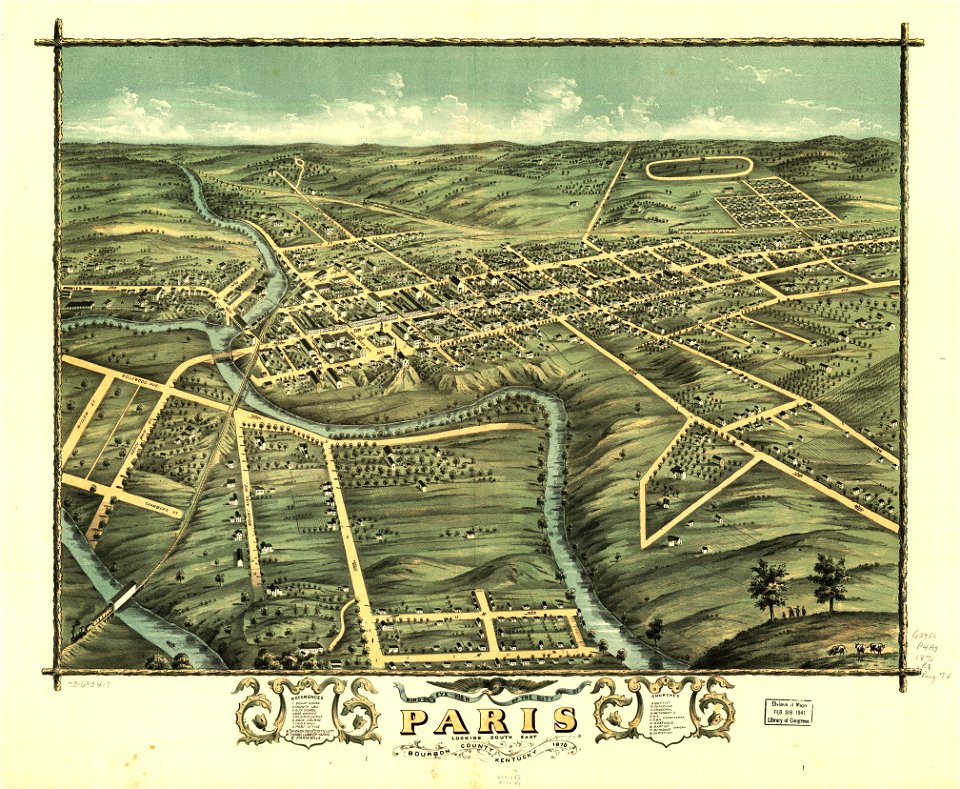
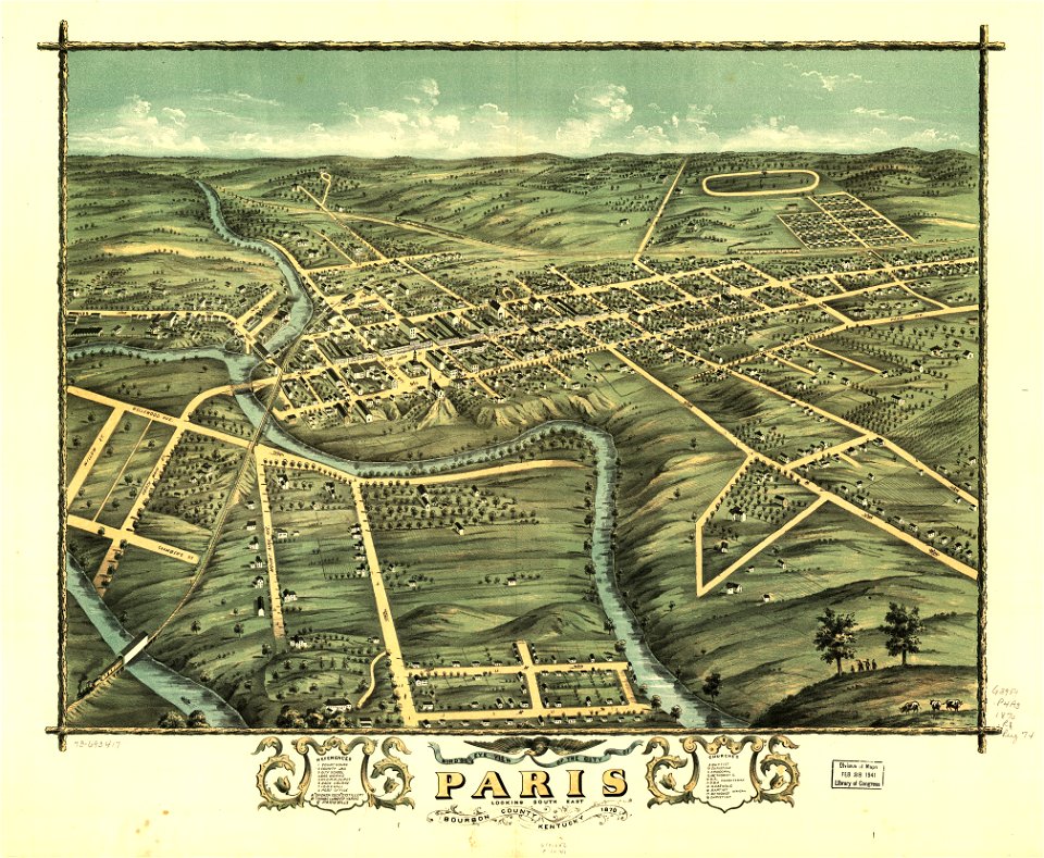
kentucky
paris
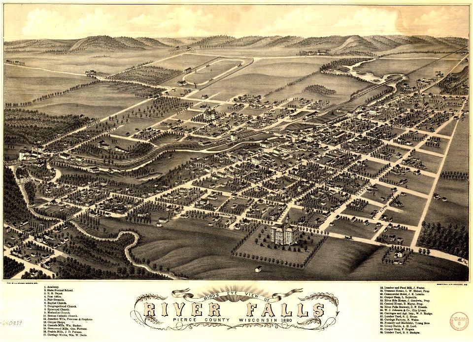
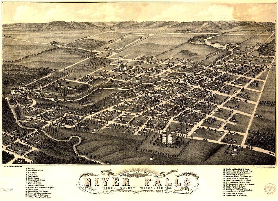
river falls
wisconsin
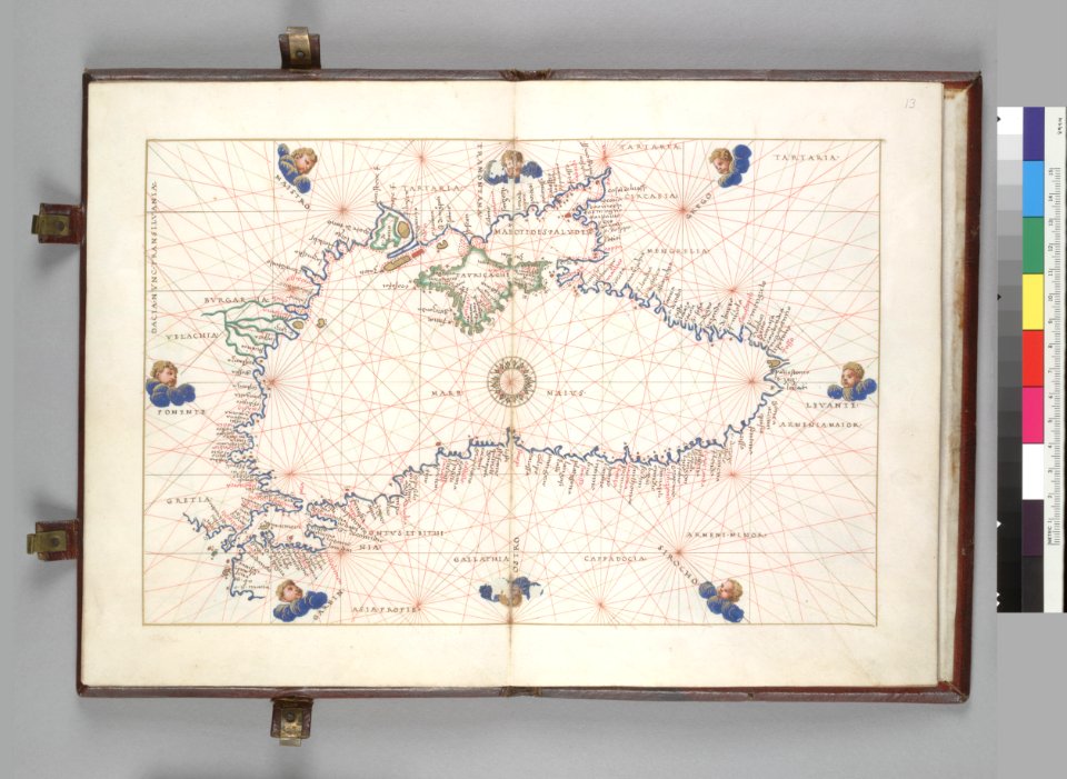
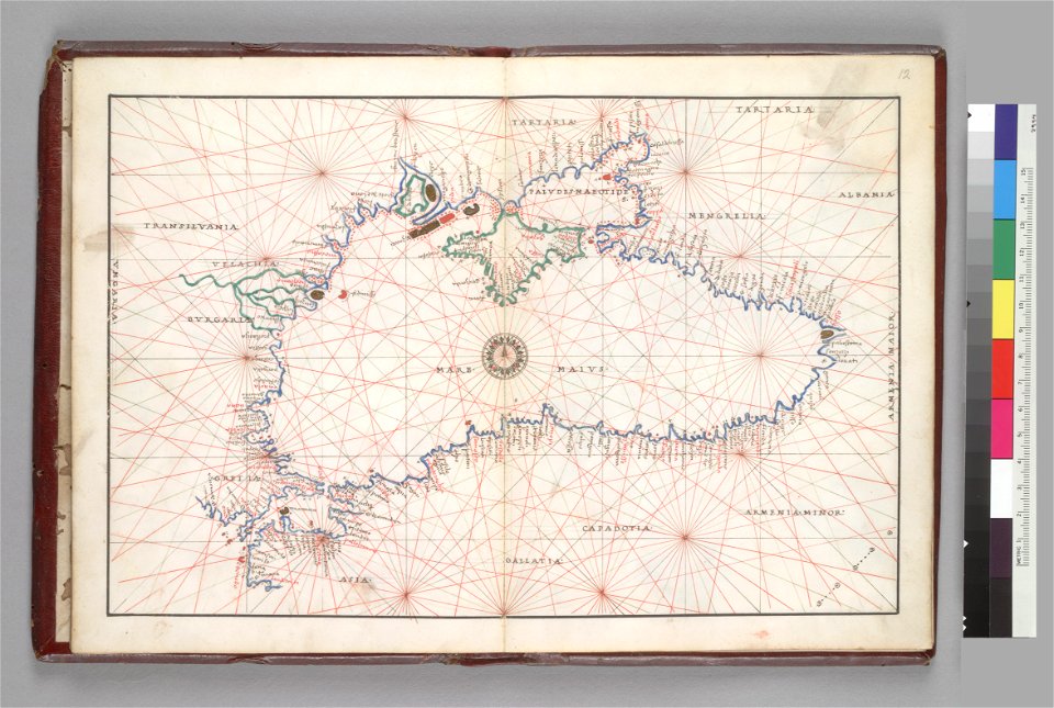
16th-century maps of the black sea
battista agnese
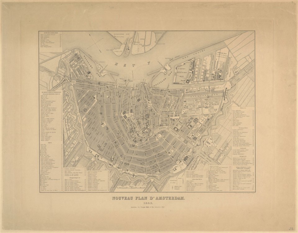
maps in the stadsarchief amsterdam
old maps of amsterdam
maps in the stadsarchief amsterdam
old maps of amsterdam
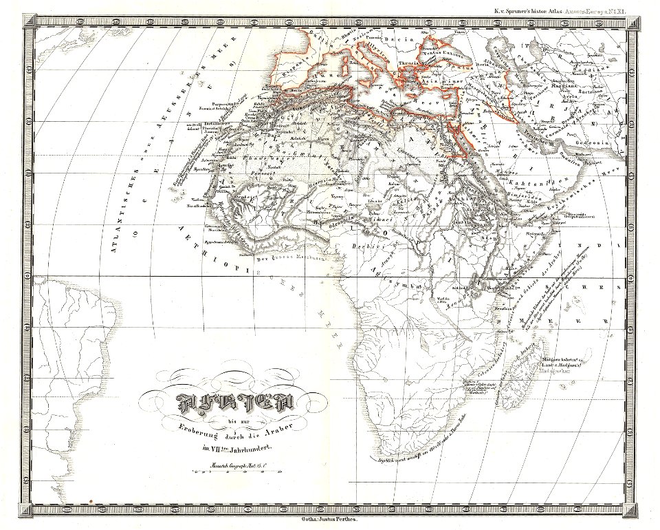
karl spruner von merz
1855 maps of africa
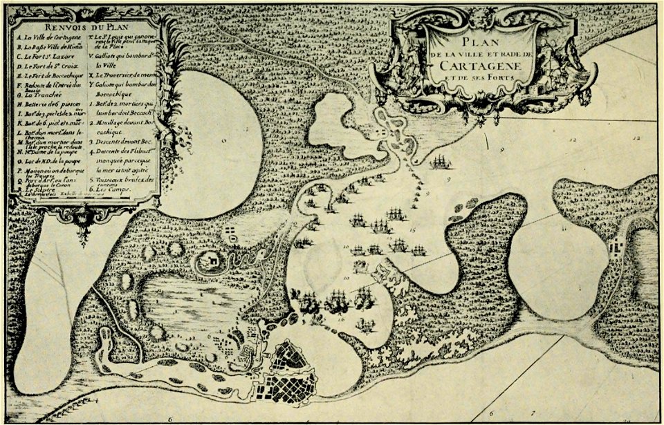
old maps of cartagena
colombia
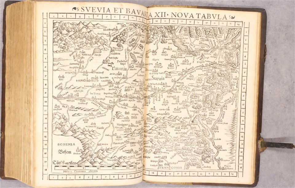
old maps of baden-württemberg
1552
charte von schwaben (bohnenberger)
maps of landkreis sigmaringen
charte von schwaben (bohnenberger)
19th-century maps of bavaria
old maps of japan
old maps of korea
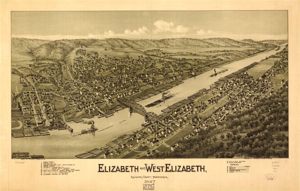
pennsylvania
elizabeth
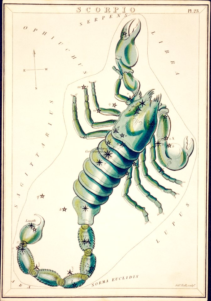
astronomy
maps
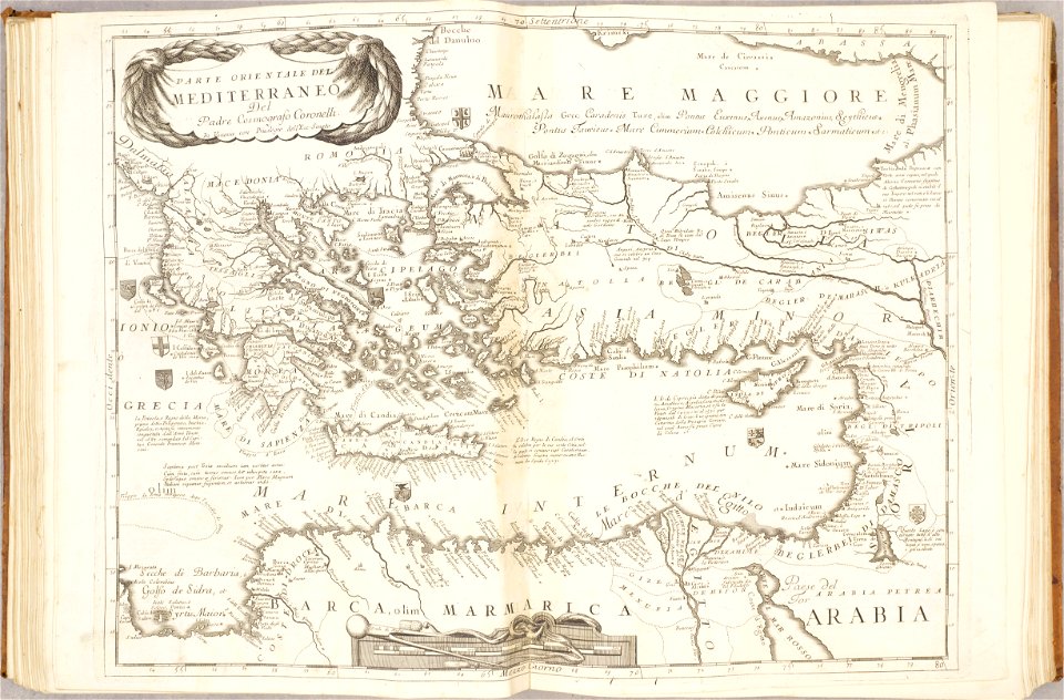
old maps of mediterranean sea
levantine sea
self-published work
south america
copper engraving
maps
maps in the library of congress
1639 maps
maps from the mechanical curator collection available to georeference
maps from the mechanical curator collection
coats of arms of cities in drôme
jean étienne championnet
fonds ancely - bibliothèque municipale de toulouse - maps
jean-de-dieu soult
fonds ancely - bibliothèque municipale de toulouse - maps
frédéric-auguste laguillermie
kunshan in
suzhou
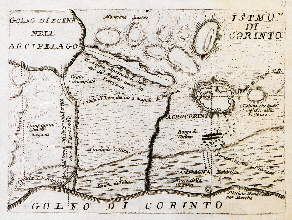
old maps of the peloponnese
maps by coronelli
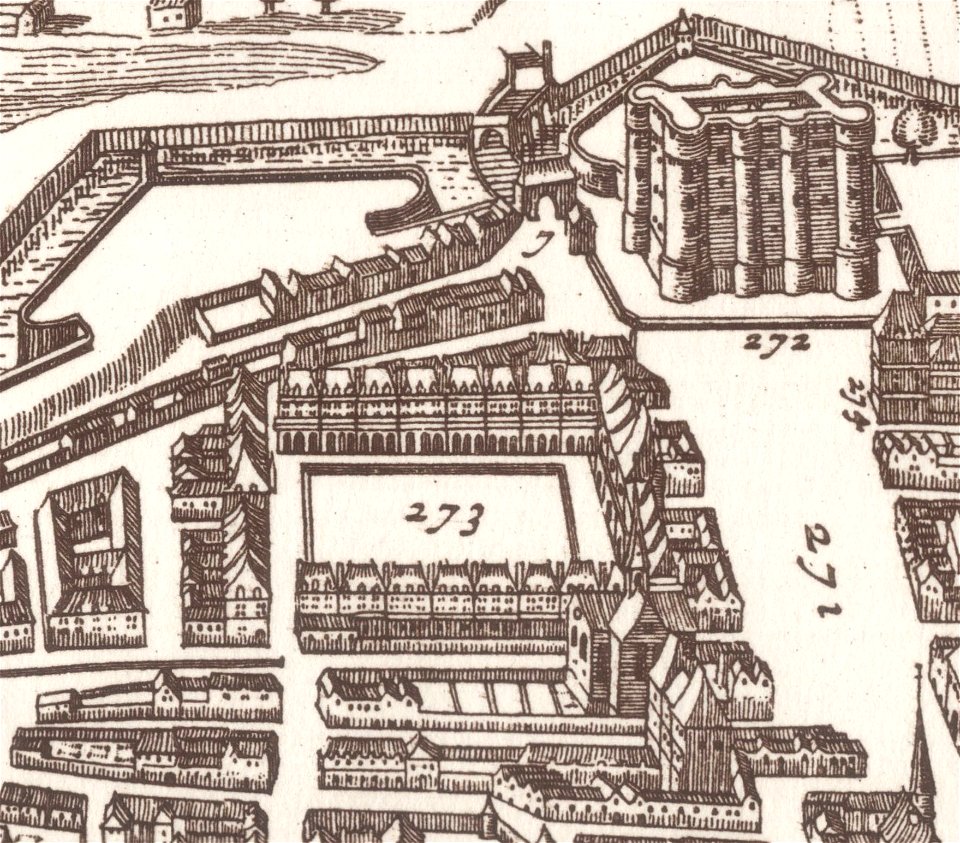
map of paris by claes jansz. visscher - derivate files
historical images of place des vosges
miniature speed atlas (1627) pieter van den keere
pieter van der keere
miniature speed atlas (1627) pieter van den keere
pieter van der keere
miniature speed atlas (1627) pieter van den keere
pieter van der keere
maps from the mechanical curator collection
1806 books
maps of the dutch east india company - india
1672
maps of the west-indische compagnie
1746
maps from the mechanical curator collection
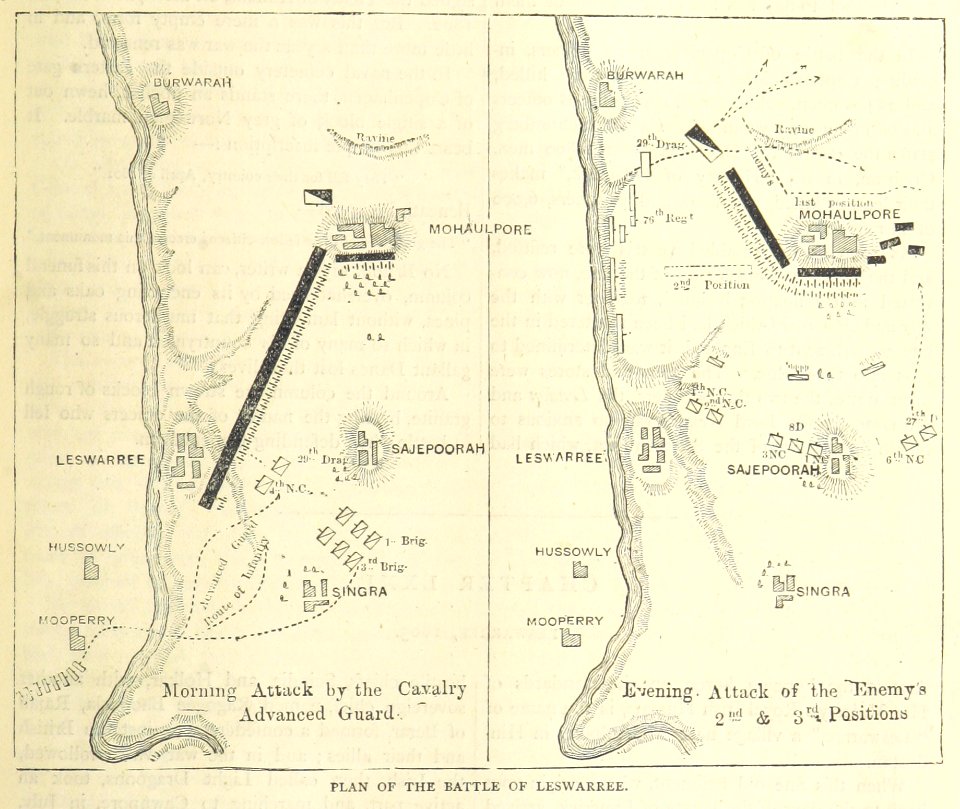
british battles on land and sea
16th-century maps of the black sea
battista agnese
media from national cancer institute visuals online
maps of the united states
david rumsey historical map collection
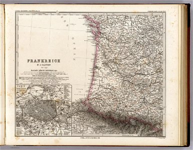
old maps of france
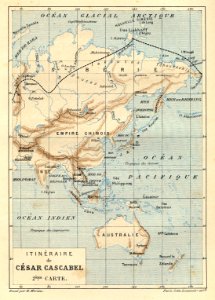
illustrations from césar cascabel by george roux
césar cascabel
maps of tournai city walls
old maps of tournai
maps of hesdin city walls
old maps of hesdin
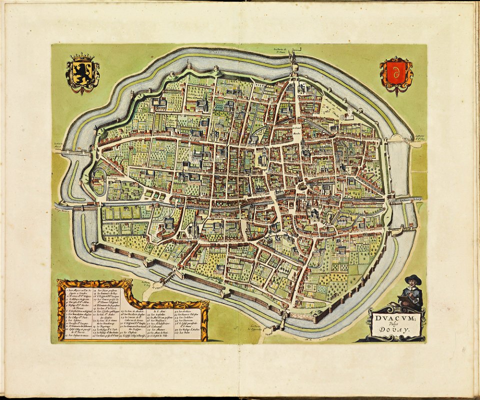
maps of douai city walls
atlas de wit 1698
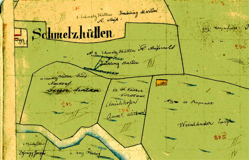
old maps of carinthia
kärntner landesarchiv
pennsylvania
elizabeth
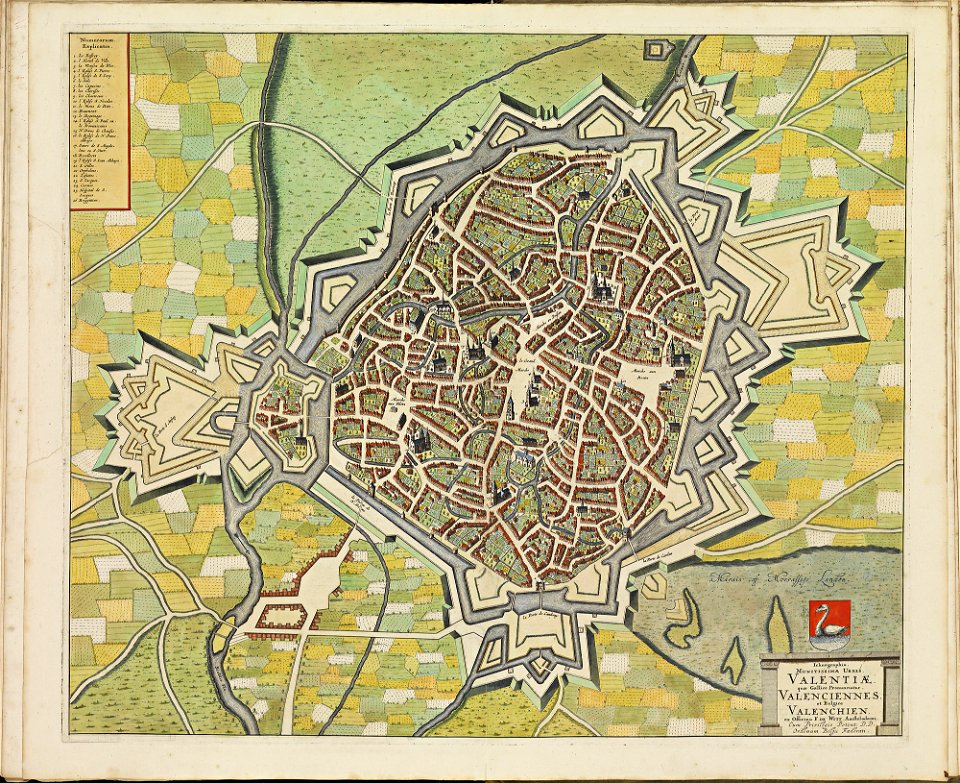
maps of valenciennes city walls
atlas de wit 1698
old maps of lazio
codex windsor
maps by matthäus seutter
tobias conrad lotter
volume 5 of le tour du monde
old maps of mexico
harvard university
map of manhattan
images from bristol past and present (1882)
bristol old city
atlantis magni tomus tertius (biblioteca comunale di trento)
maps made in the 17th century
kyoto university library – derivative files
turgot map of paris
old maps of greece
giovanni camocio
indiana
peru
kentucky
paris
river falls
wisconsin
maps in the library of congress
albert ruger
charts and maps of the royal museums greenwich
1766 maps
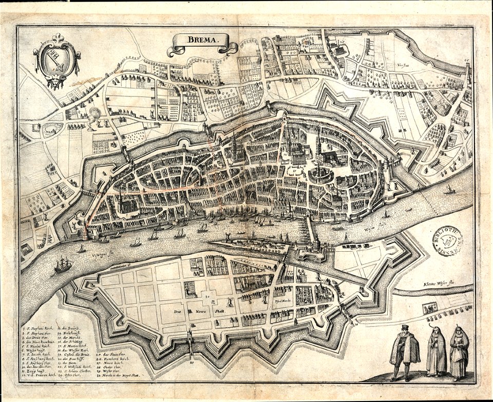
bremen in topographia saxoniae inferioris (merian)
old maps of bremen (state)
travel
maps
maps from the mechanical curator collection
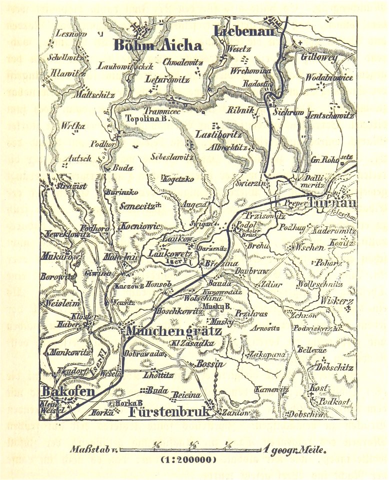
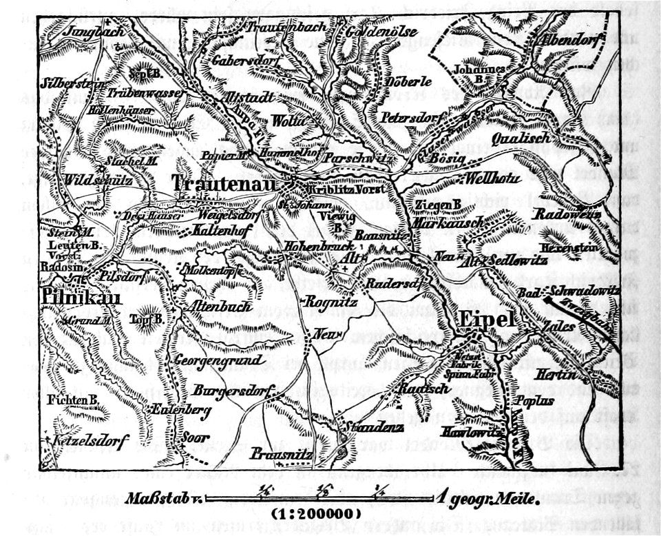
battle of trautenau
18th-century maps of brazil
1780 in south america
portraits of jean racine
history of soissons
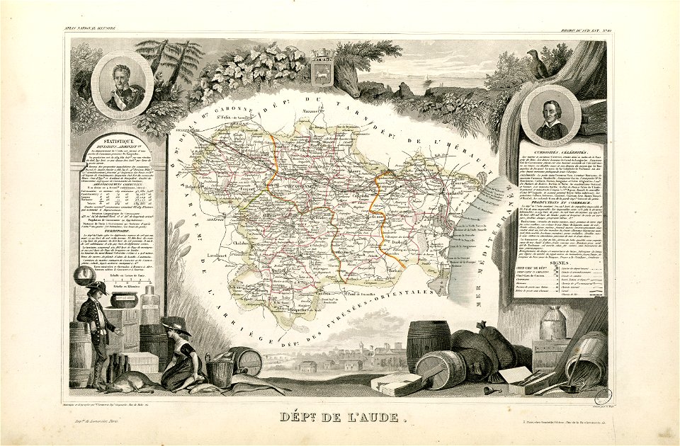
coats of arms of cities in aude
coats of arms of aude
françois-antoine de boissy d'anglas
frédéric-auguste laguillermie
coats of arms of cities in hautes-pyrénées
bertrand barère de vieuzac
maps
flag
svg retouched pictures
self-published work
historical flag maps of germany
self-published work
symbols for hydrogeological maps
self-published work
mountain
green
symbols for hydrogeological maps
self-published work
cartography
maps
maps
blue
background
maps
maps
girl
background
maps
germany
maps
background
maps
christmas
maps
brown
maps
maps
usa
svg maps:translation possible
gamla
travel
maps
self-published work
pd-self
symbols for hydrogeological maps
self-published work
maps
flag
symbols for hydrogeological maps
self-published work
london
maps
maps from the mechanical curator collection available to georeference
maps from the mechanical curator collection
1780s maps of portugal
1780s maps of spain
maps by willem and johannes blaeu
maps made in the 17th century
fonds ancely - bibliothèque municipale de toulouse - maps
frédéric-auguste laguillermie
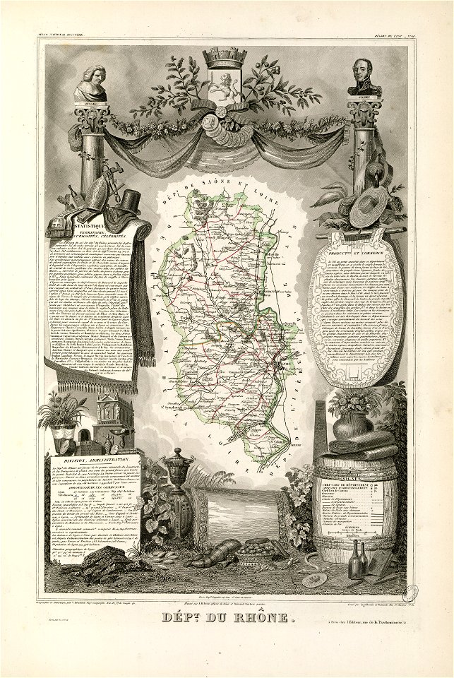
coats of arms of rhône
louis gabriel suchet
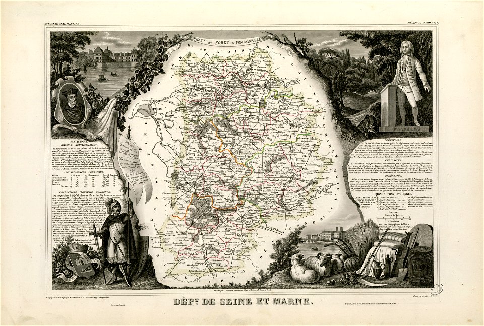
fonds ancely - bibliothèque municipale de toulouse - maps
victor levasseur - maps of france
old maps of seine-et-marne
honoré mirabeau
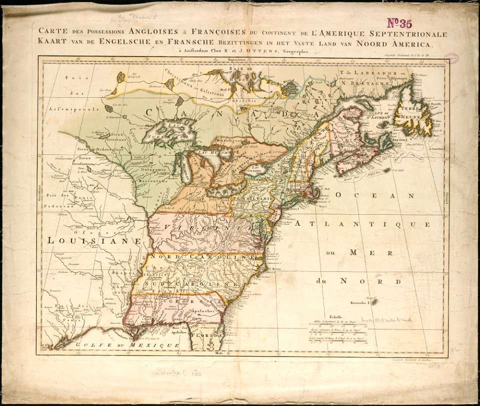
old maps of north america from the norman b. leventhal map center
1755 maps of the united states
9001 - 9100 of 357,572
Next page
/ 3576