En
Log in
All resources
Create a design
Tools
357,572 Free Images of Maps
maps in the library of congress
charte der gebirge des mondes nach eigenen beobachtungen in den jahren 1840-1874
background
countries
geography
world
abstract
template
national
binary
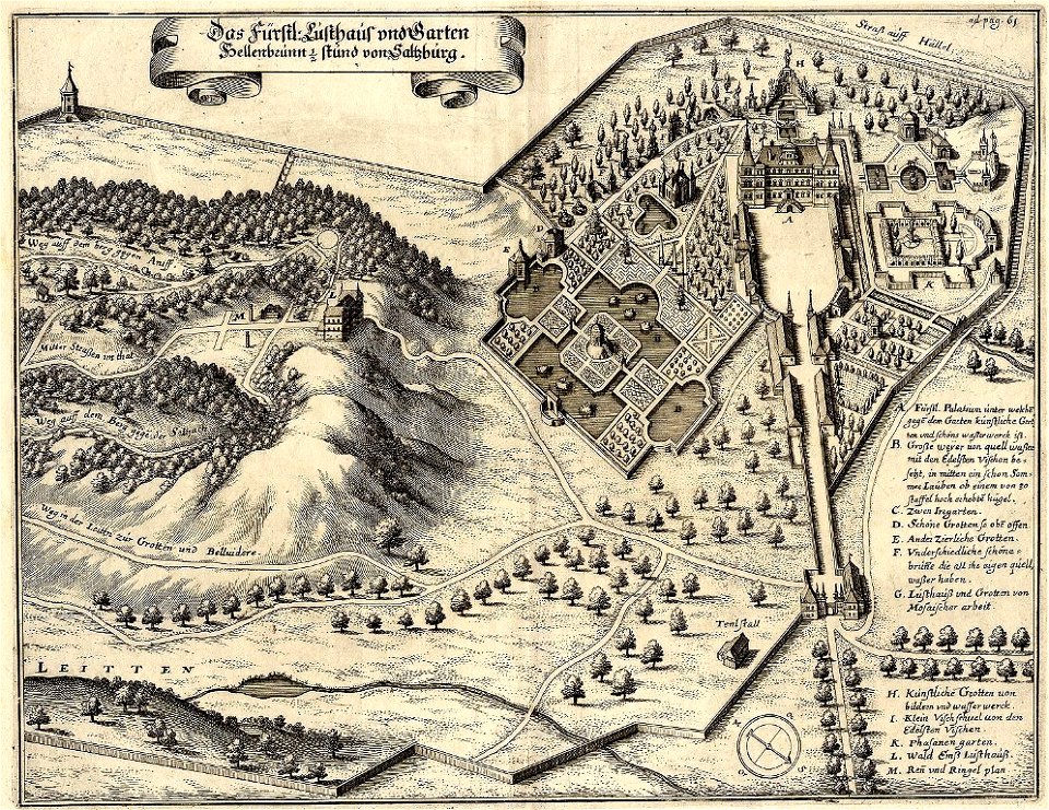
engravings by matthäus merian
maps of baroque gardens
matsushima (matsushima bay)
boston
heaven
happy
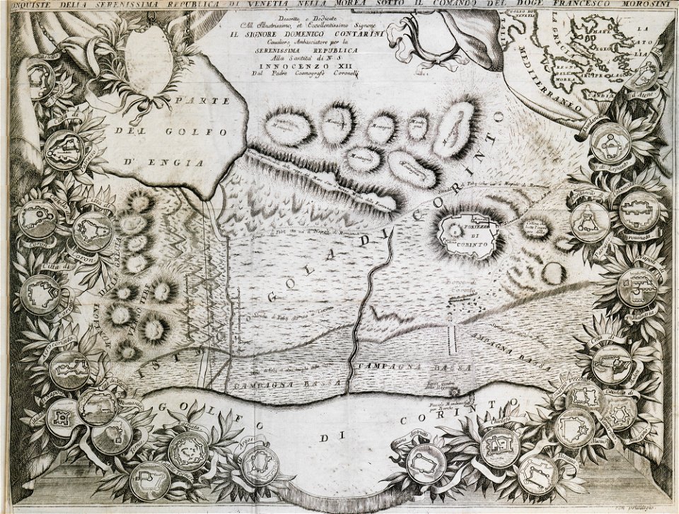
geographical illustrations by coronelli
old maps of the peloponnese
zürich hauptbahnhof
1847
historical images of landstraße
palais rasumofsky
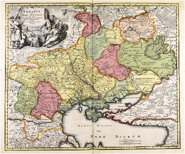
maps made in the 18th century
johann baptist homann
maps
land
woman
maps
valentine's day
maps
brick
wall
compass
maps
maps
land
usgs maps by state of the united states
tiny
1874 maps of norway
old maps of hamar
belize city in the 1980s
maps of belize
travel
maps
light weight aggregates
aggregate
background
decoration
maps in skokloster castle
malmöhus slott
maps of national forests of the united states
trail map
maps
land
earth
maps
compass
maps
compass
maps
compass
maps
new york
maps
travel
maps
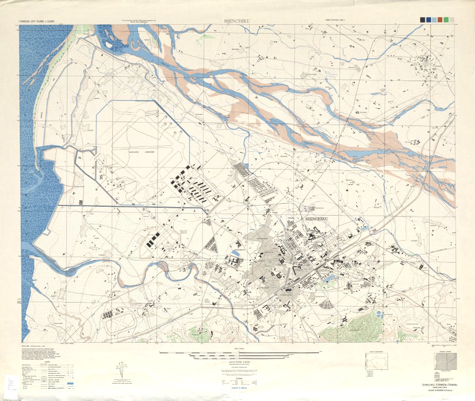
old maps of hsinchu city
1945 maps of taiwan
unidentified maps
maps
fun
textures
dirt
architecture
ink
flower
maps
maps
food
background
maps
background
maps
background
maps
background
maps
background
maps
background
maps
school
sea
symbol
maps
illinois
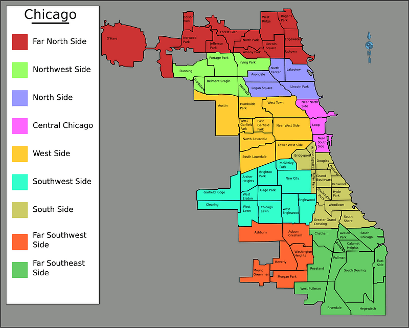
chicago
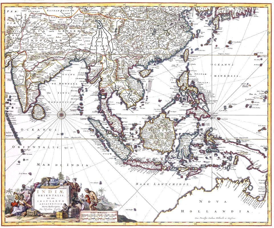
history of indonesia
mataram sultanate
self-published work
map icons
maps
flag
emblem
sign
continent
maps
self-published work
tree icon
illustrations by staszek szybki jest
self-published work
maps
flag
maps
flag
maps
flag
carpet
bear
skiing
skier
maps
flag
maps
flag
library symbols
library book
self-published work
extracted images
maps made in the 18th century
maps by nicolas sanson
maps of national forests of the united states
trail map
birthday
maps
background
maps
national
maps
background
maps
birthday
maps
background
symbol
germany
yellow
vehicle
maps
maps in skokloster castle
maps of medelpad
maps made in the 18th century
maps in skokloster castle
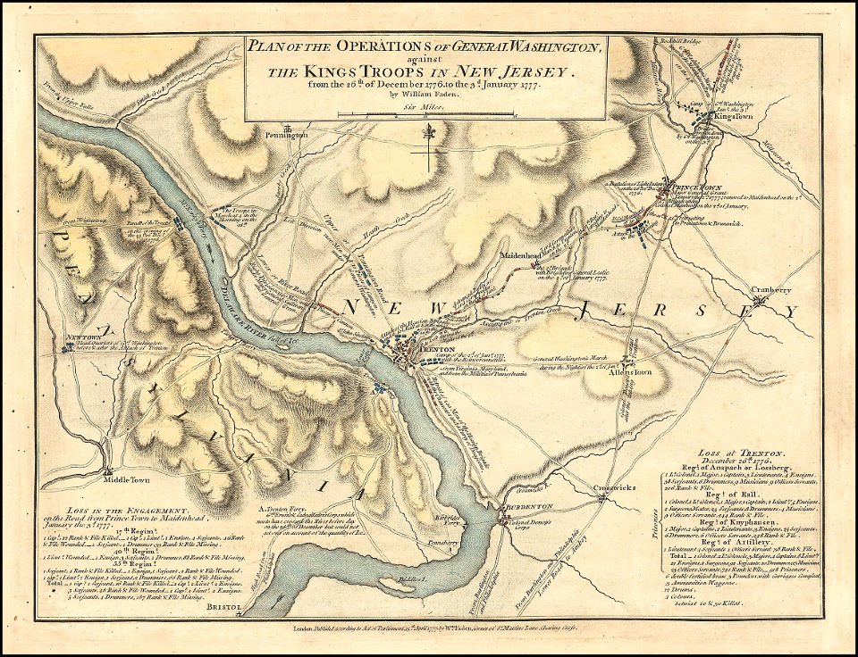
maps in the library of congress
d.c.,
maps in the library of congress
d.c.,
1776
1777
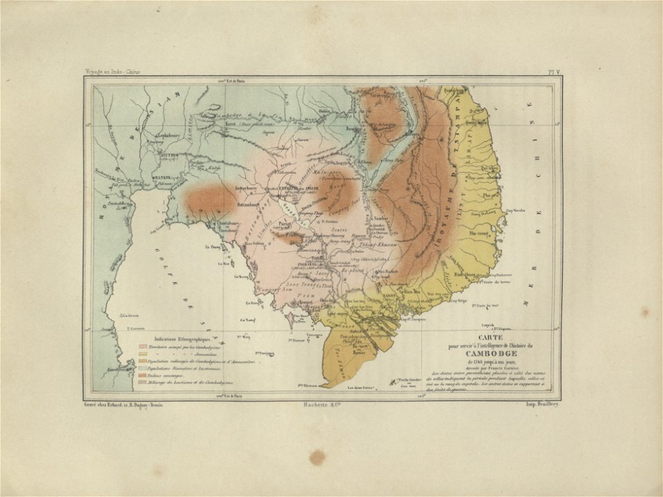
old maps of cambodia
francis garnier
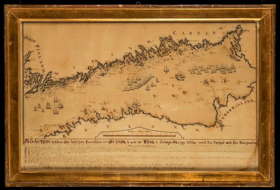
naval battles involving sweden
russo-swedish war (1788–1790)
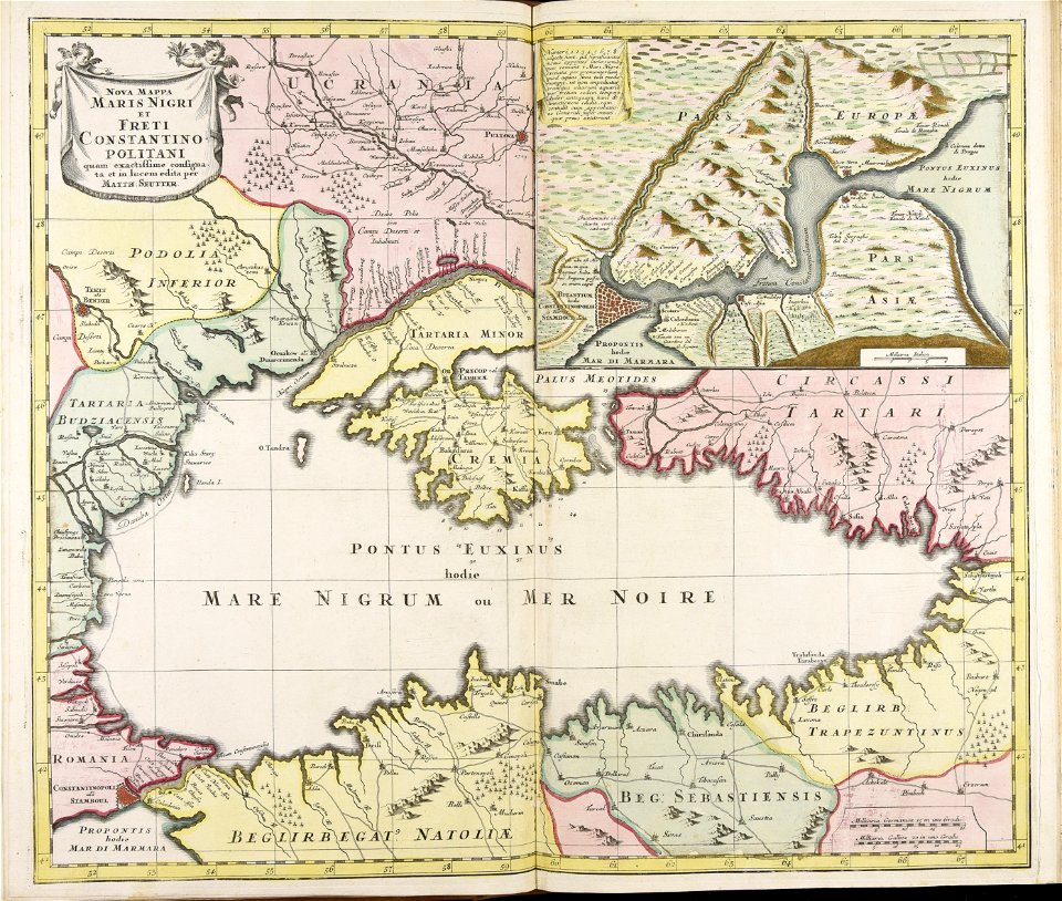
atlantis magni tomus quintus (biblioteca comunale di trento)
maps made in the 18th century
atlantis magni tomus quintus (biblioteca comunale di trento)
maps made in the 18th century
18th-century maps of asia
bonne projection
artworks with known accession number
artworks without wikidata item
charte der gebirge des mondes nach eigenen beobachtungen in den jahren 1840-1874
maps in the library of congress
charte der gebirge des mondes nach eigenen beobachtungen in den jahren 1840-1874
maps in the library of congress
charte der gebirge des mondes nach eigenen beobachtungen in den jahren 1840-1874
maps in the library of congress
charte der gebirge des mondes nach eigenen beobachtungen in den jahren 1840-1874
maps in the library of congress
charte der gebirge des mondes nach eigenen beobachtungen in den jahren 1840-1874
maps in the library of congress
charte der gebirge des mondes nach eigenen beobachtungen in den jahren 1840-1874
maps in the library of congress
charte der gebirge des mondes nach eigenen beobachtungen in den jahren 1840-1874
maps in the library of congress
charte der gebirge des mondes nach eigenen beobachtungen in den jahren 1840-1874
maps in the library of congress
charte der gebirge des mondes nach eigenen beobachtungen in den jahren 1840-1874
maps in the library of congress
charte der gebirge des mondes nach eigenen beobachtungen in den jahren 1840-1874
maps in the library of congress
charte der gebirge des mondes nach eigenen beobachtungen in den jahren 1840-1874
maps in the library of congress
charte der gebirge des mondes nach eigenen beobachtungen in den jahren 1840-1874
maps in the library of congress
charte der gebirge des mondes nach eigenen beobachtungen in den jahren 1840-1874
maps in the library of congress
charte der gebirge des mondes nach eigenen beobachtungen in den jahren 1840-1874
maps in the library of congress
lithographs of paris
floor plans of paris
18th-century maps of guadeloupe
dien (printer)
1820s lithographs
chile
historical images of the canton of graubünden
valtellina
atlantis magni tomus secundus (biblioteca comunale di trento)
maps made in the 17th century
15201 - 15300 of 357,572
Next page
/ 3576