En
Log in
All resources
Create a design
Tools
357,572 Free Images of Maps
maps in the stadsarchief amsterdam
hendrik de leth
geography
world
countries
caspar philips
flag
blue
continent
atlas van der hagen
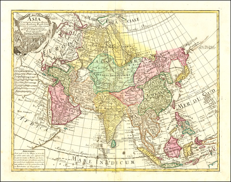
tobias conrad lotter
1770 maps of asia
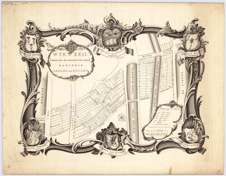
maps in the stadsarchief amsterdam
jan caspar philips
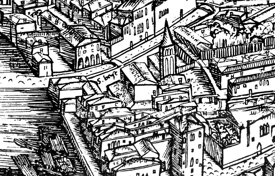
demolished churches in de barbari map
san basilio (venice)
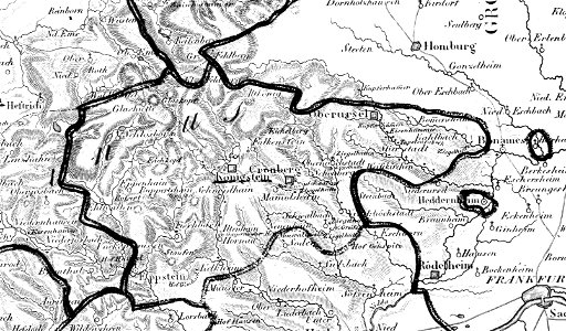
map „das herzogthum nassau“ by j.b. fischer
1828
maps in the stadsarchief amsterdam
caspar philips
old maps of the caspian sea
maps in the stadsarchief amsterdam
caspar philips
maps in the stadsarchief amsterdam
caspar philips
maps in the stadsarchief amsterdam
caspar philips
maps in the stadsarchief amsterdam
hendrik de leth
maps in the stadsarchief amsterdam
hendrik de leth
maps in the stadsarchief amsterdam
hendrik de leth
maps in the stadsarchief amsterdam
hendrik de leth
maps in the stadsarchief amsterdam
hendrik de leth
maps in the stadsarchief amsterdam
hendrik de leth
maps in the stadsarchief amsterdam
hendrik de leth
maps in the stadsarchief amsterdam
hendrik de leth
jan van der straet - inferno
fire and ice (poem)
johann christoph brotze
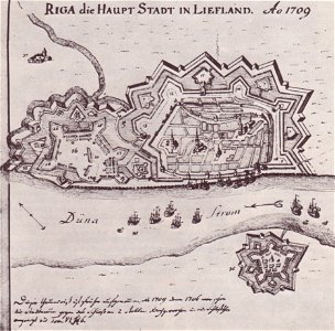
old maps of riga
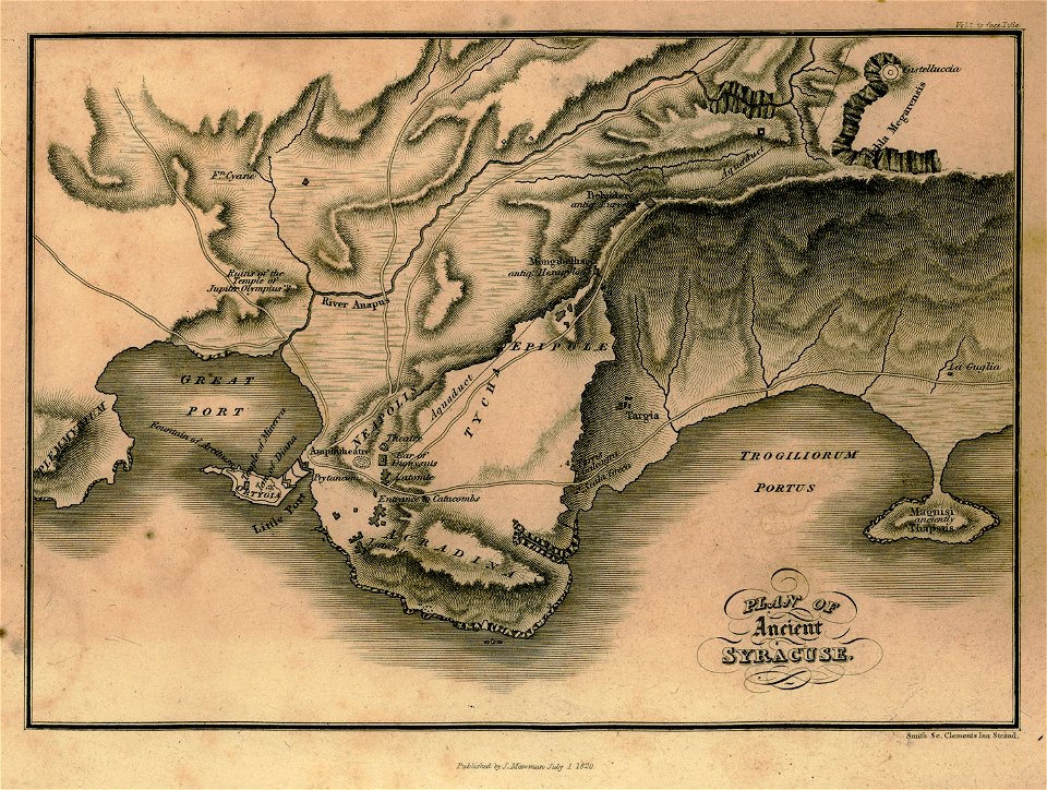
travels in sicily greece and albania
maps of syrakousai
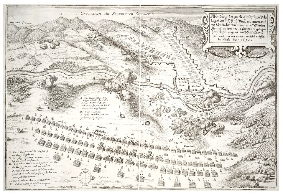
university of toronto wenceslas hollar digital collection
maps by wenzel hollar
maps by gustav adolf von varendorf
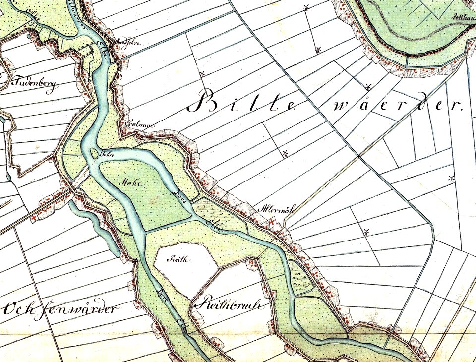
dove elbe
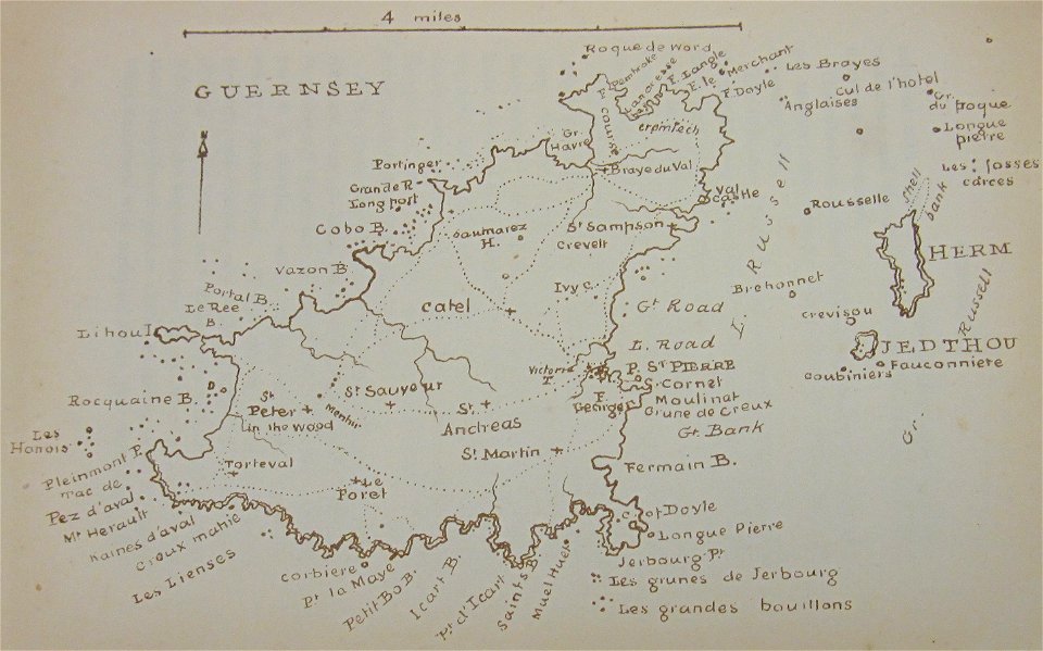
old maps of guernsey
walter cooper dendy
charte von schwaben (bohnenberger)
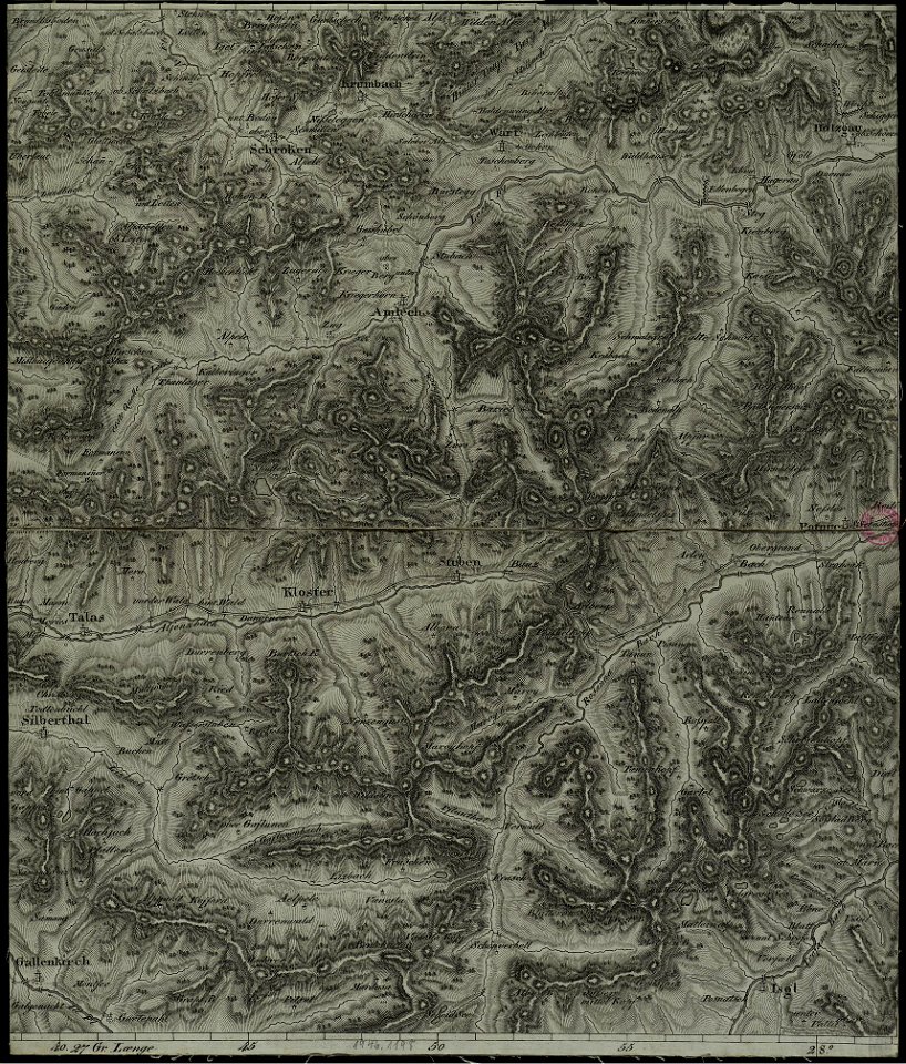
old maps of vorarlberg
collection des cent
map postcards
hans jakob breuning von buchenbach
les observations de plusieurs singularitez & choses mémmorables
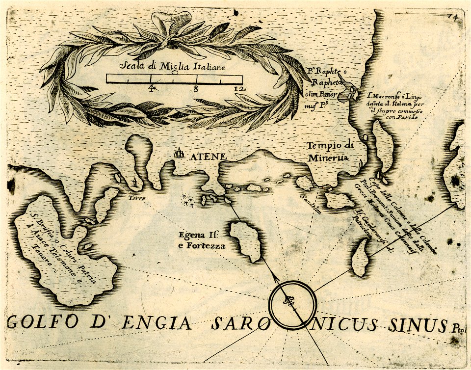
geographical illustrations by coronelli
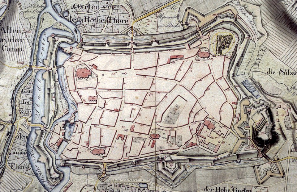
historical maps of lüneburg
1793
museu de história e artes do estado do rio de janeiro
small atlas of the russian empire (1796)
bratslav viceroyalty
old maps of chartres
battles in art
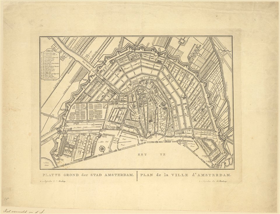
old maps of amsterdam
evert maaskamp
maps of marum
trimunt
old maps of scotland
hyskeir
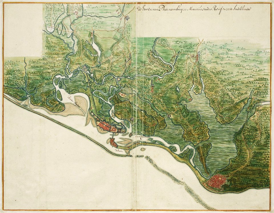
old maps of dutch brazil
johannes vingboons
old maps of dutch brazil
johannes vingboons
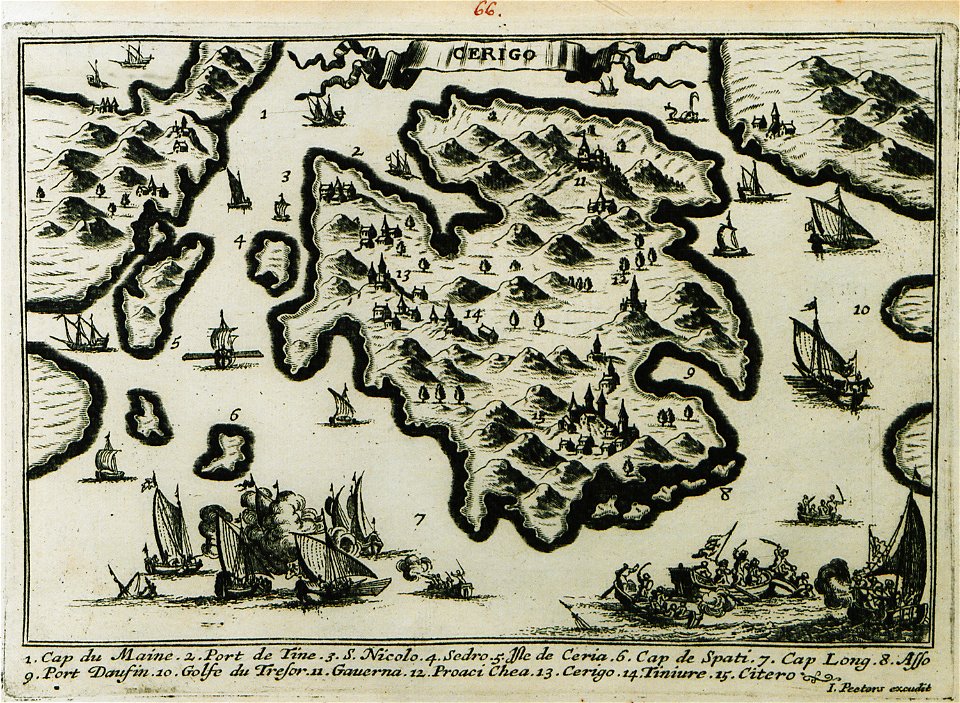
description des principales villes (1690)
engravings of kythira
satirical prints in the british museum
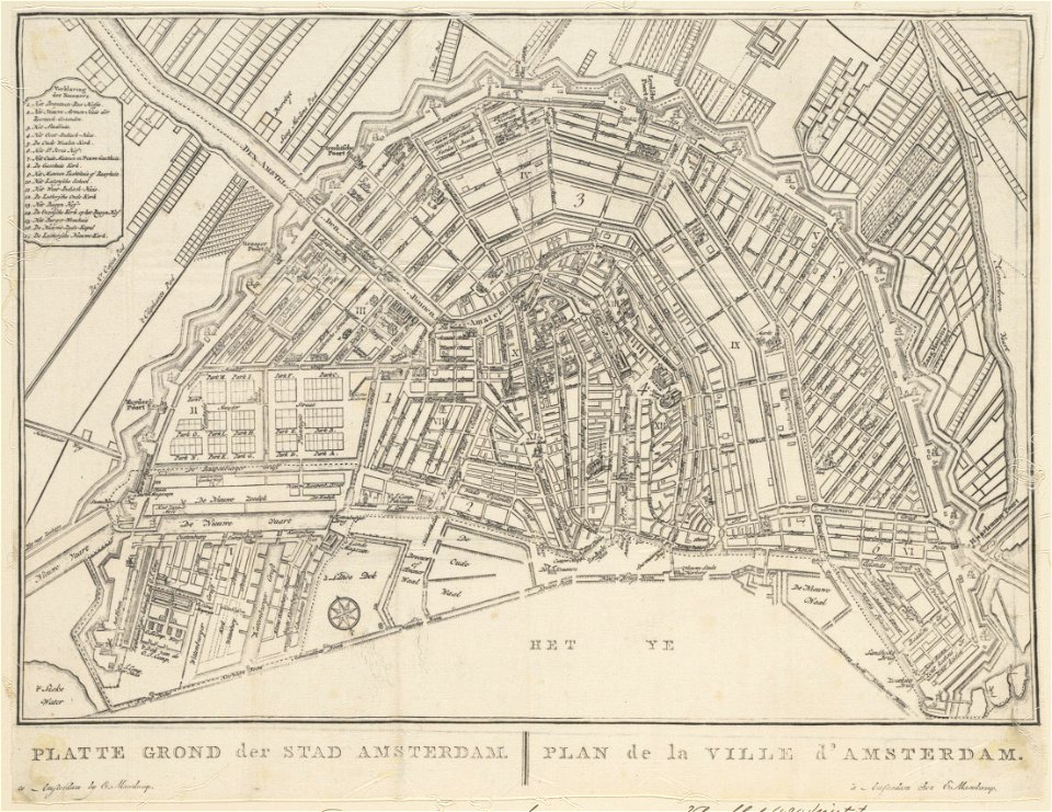
old maps of amsterdam
evert maaskamp
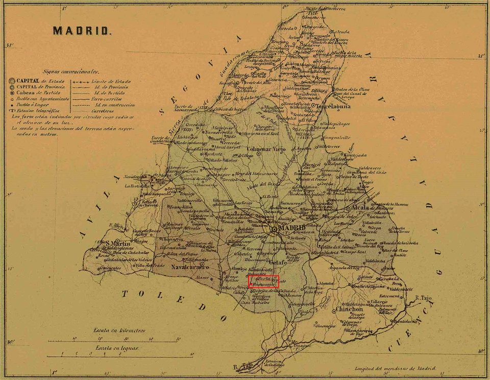
maps of parla
humanejos
voyage au levant (cornelis de bruijn)
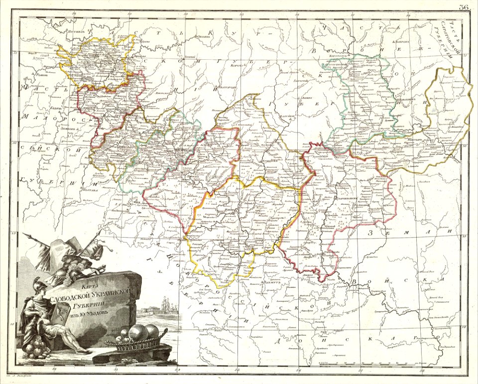
atlas of the russian empire (1800)
old maps of kharkov governorate
atlante veneto (raremaps.com) volume 2
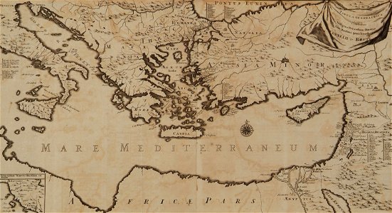
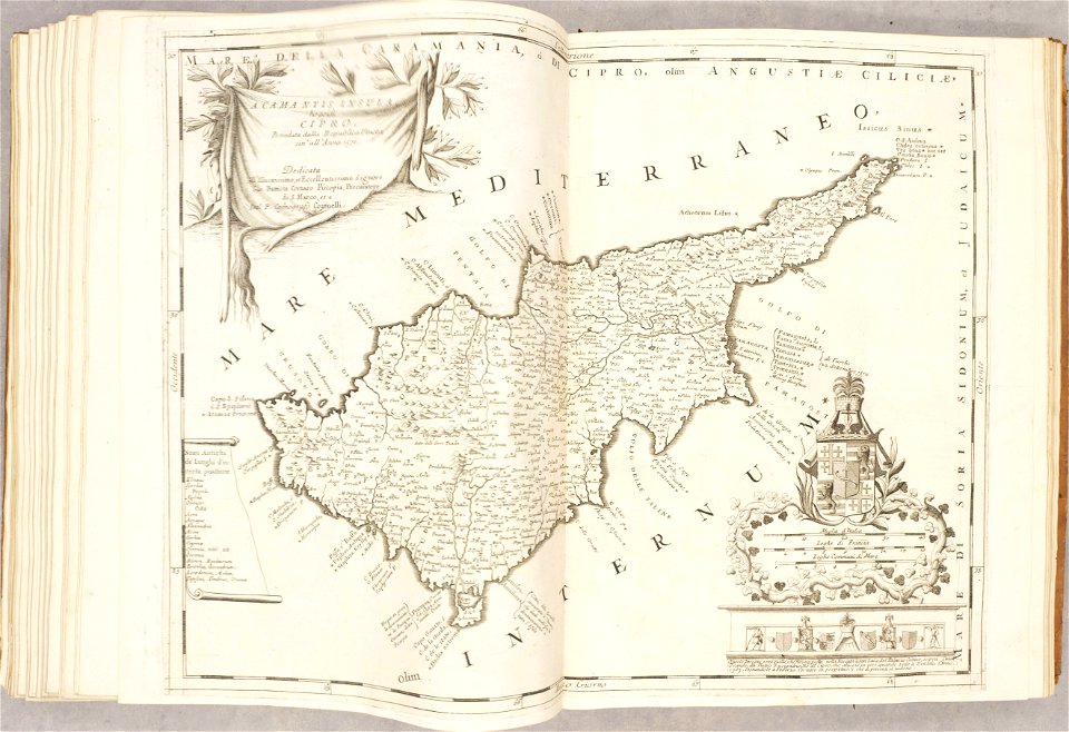
old maps of cyprus
maps made in the 18th century
gerard valck
maps made in the 18th century
johann baptist homann
artworks without wikidata item
rogers fund
cornell university library
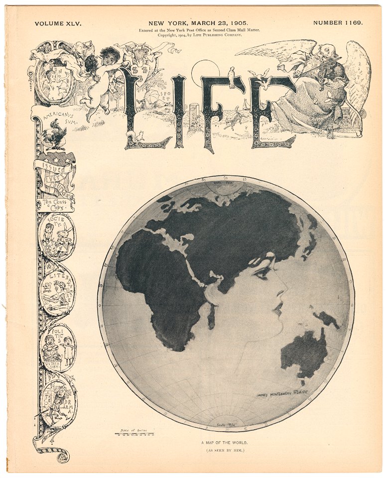
gibson girl
earth
maps
self-published work
flag maps of latvia
flag maps of estonia
self-published work
obsolete maps of grand lyon
self-published work
countries
maps
geography
maps
castle
game
alphabet
icons
australia
maps
london
maps
maps
flag
maps
flag
school
maps
continent
maps
files from wikivoyage wts
pd-author
self-published work
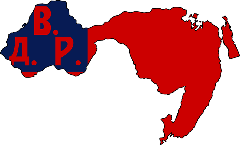
communism
maps from the earth and its inhabitants, vol. vi
exploration of asia
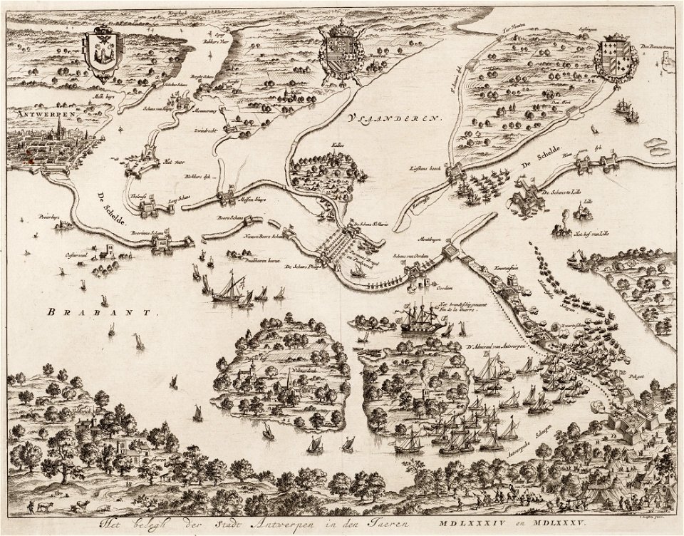
antwerp
hoboken
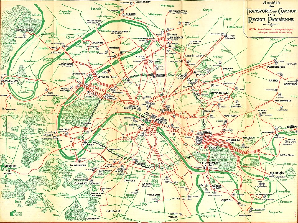
société des transports en commun de la région parisienne
old maps of public transport in paris
artworks without wikidata item
19th-century maps of japan
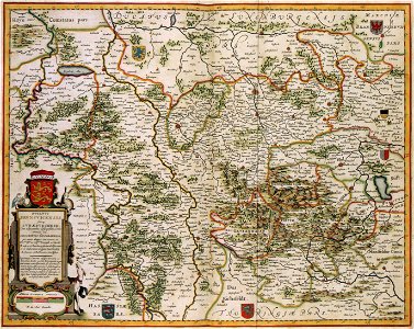
old maps of braunschweig
atlas van der hagen
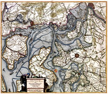
old maps of zeeland
atlas van der hagen
self-published work
maps of ayrshire
globe
maps
national
maps
flag maps of croatia
self-published work
geography
maps
green
maps
africa
maps
business
maps
christmas
maps
landscape
maps
mountain
maps
background
maps
background
maps
hares
maps
clouds
maps
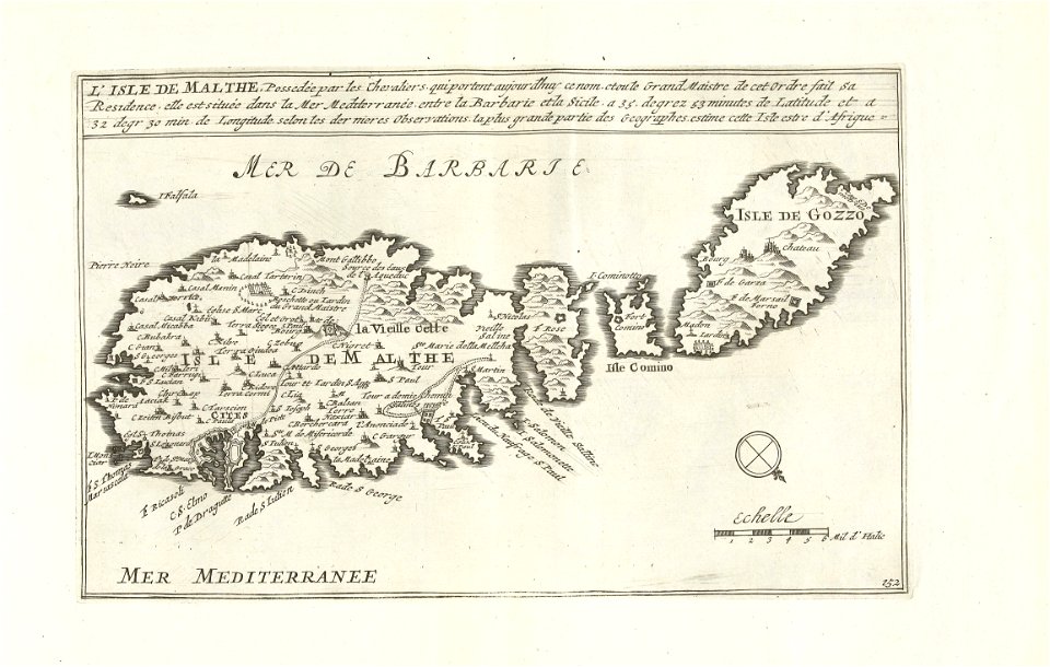
megalithic temples of malta
old maps of malta
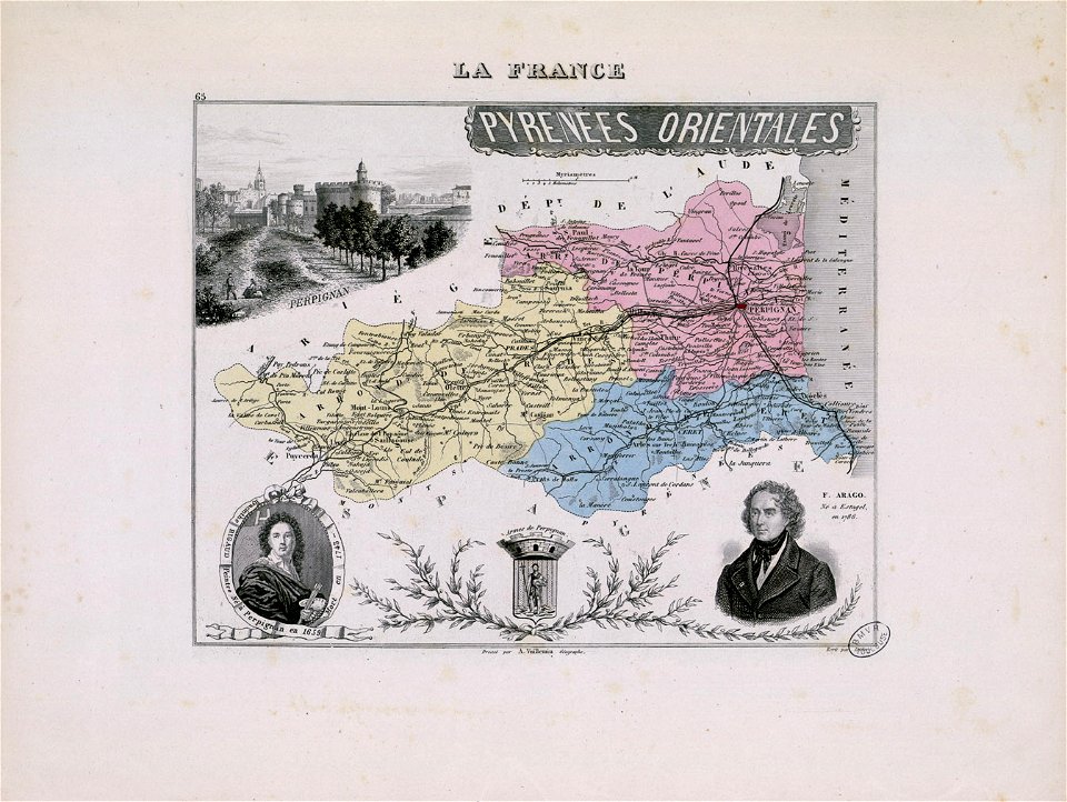
hyacinthe rigaud
françois arago
maps in the rijksmuseum amsterdam
old maps of malta
flag maps of lithuania
self-published work
self-published work
flag maps of poland
world
maps
symbol
maps
maps
flag
old maps of islands of the aegean sea
bartolommeo dalli sonetti
atlas of the russian empire (1800)
old maps of tobolsk governorate
atlas schoemaker-zeeland
atlas schoemaker
bibliothèque municipale de reims
rès. g 152
old maps of nijmegen
voyagie door italien
dalmatien
reisen und untersuchungen in griechenland (1826-1830)
12101 - 12200 of 357,572
Next page
/ 3576