En
Log in
All resources
Create a design
Tools
357,572 Free Images of Maps
background
braun & hogenberg
charts and maps of the royal museums greenwich
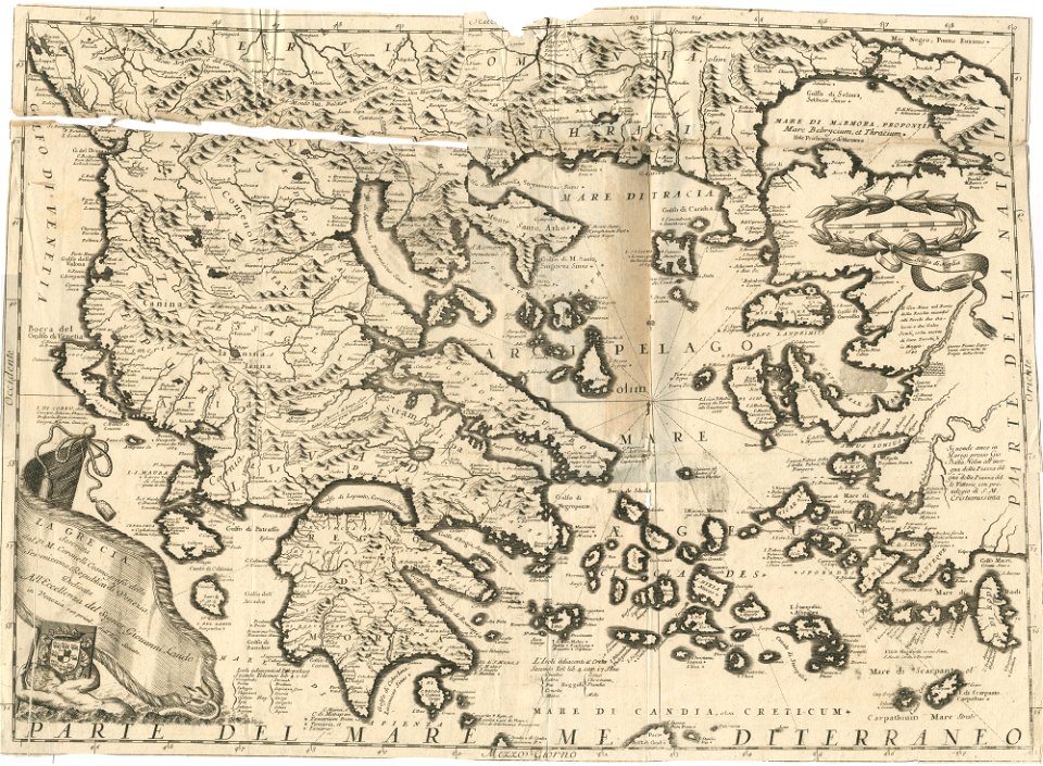
geographical illustrations by coronelli
old celestial maps
small atlas of the russian empire (1796)
vintage
design
maps by gerardus mercator
mercator celestial globe
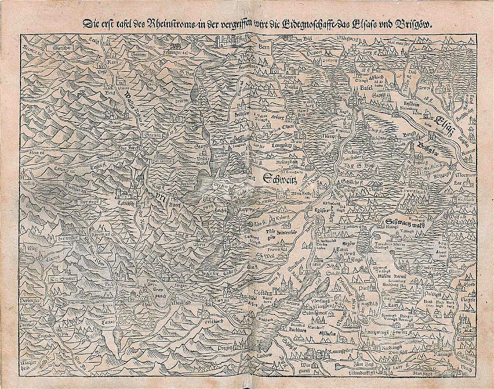
maps by sebastian münster
rhine in switzerland
17th-century maps of canada
codex canadensis
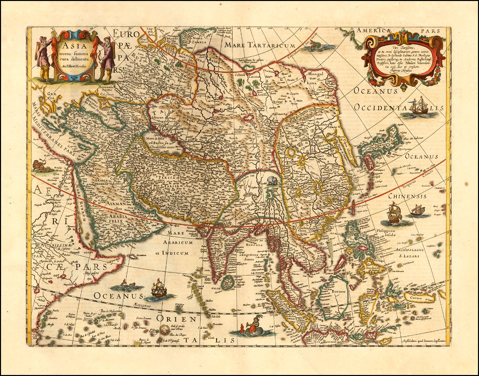
maps by jodocus hondius
18th-century maps of finland
georg biurman
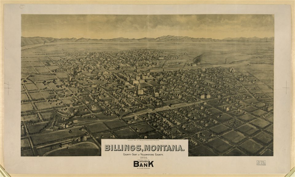
maps of billings
montana
geographical illustrations by coronelli
old maps of the peloponnese
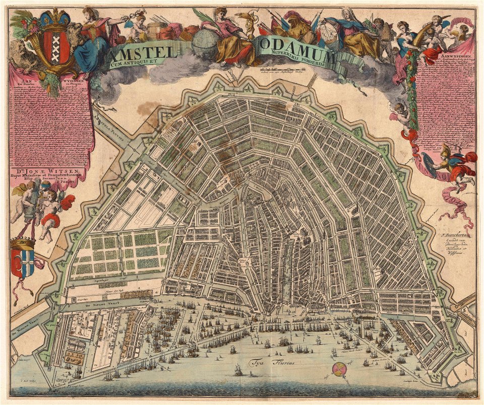
maps of amsterdam by cornelis anthonisz.
paintings of amsterdam
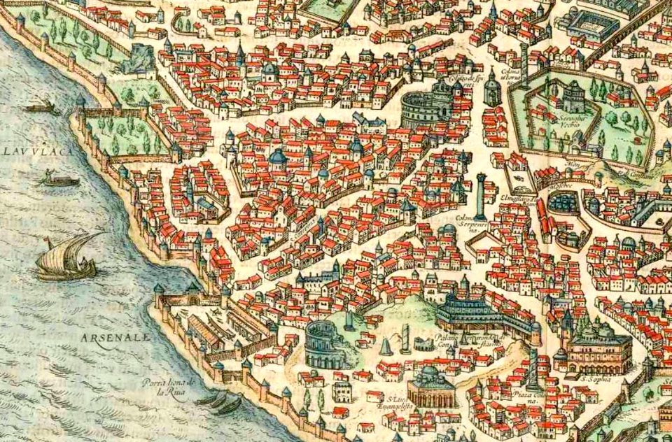
old maps of constantinople
braun & hogenberg
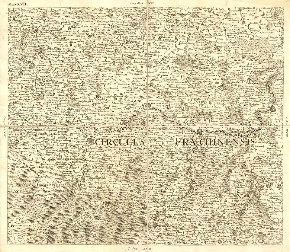
müller's map of bohemia
plzeňský kraj (do 1862)
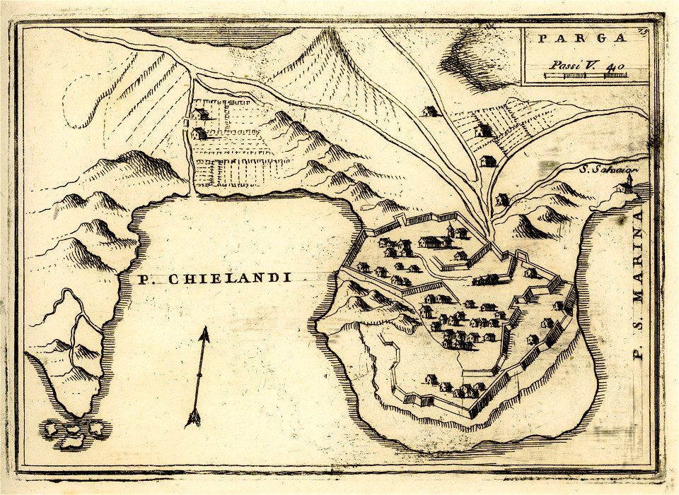
geographical illustrations by coronelli
engravings of parga
engravings of topographia bohemiae moraviae et silesiae
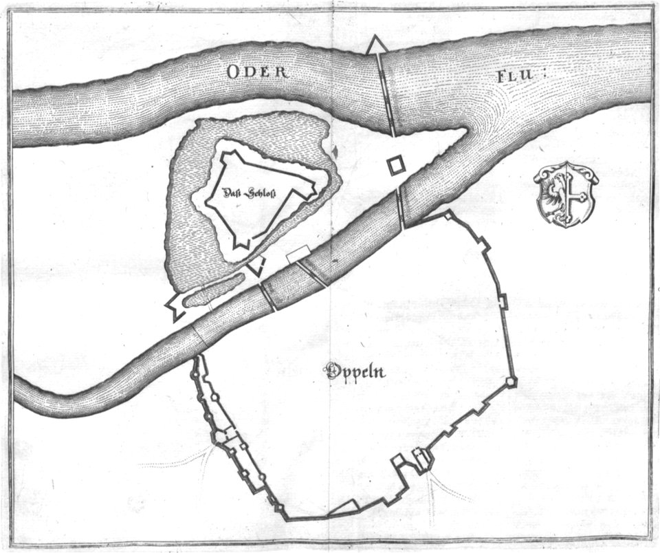
old maps of opole
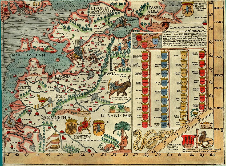
carta marina (details)
historical maps of lüneburg
stadtarchiv lüneburg
old maps of cyprus
giovanni camocio
maps and topographical views by joris hoefnagel
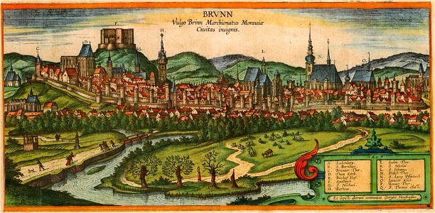
historical images of brno
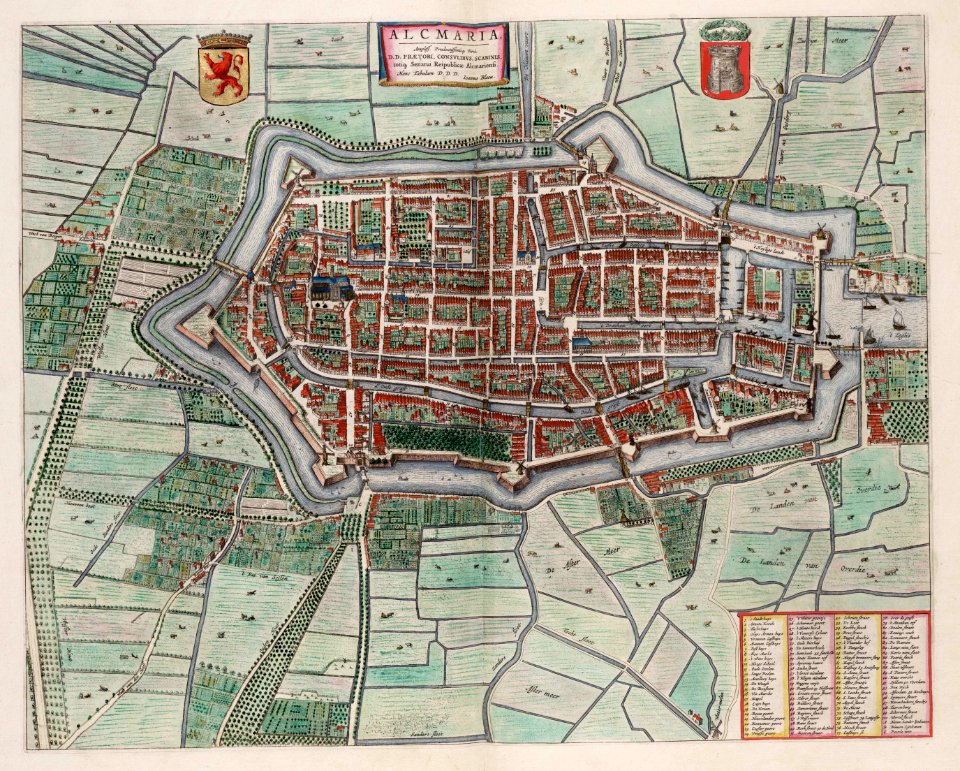
old maps of alkmaar
atlas van loon
maps in the stadsarchief amsterdam
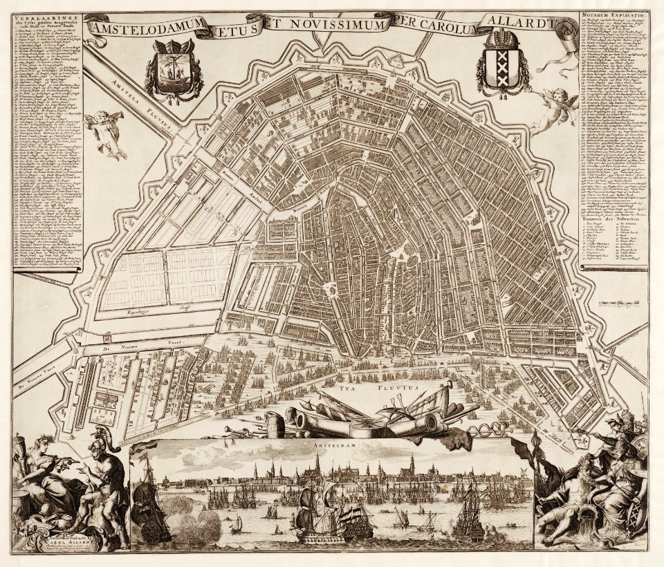
carolus allard
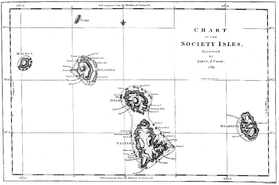
james cook (maps relating to)
18th-century manuscripts
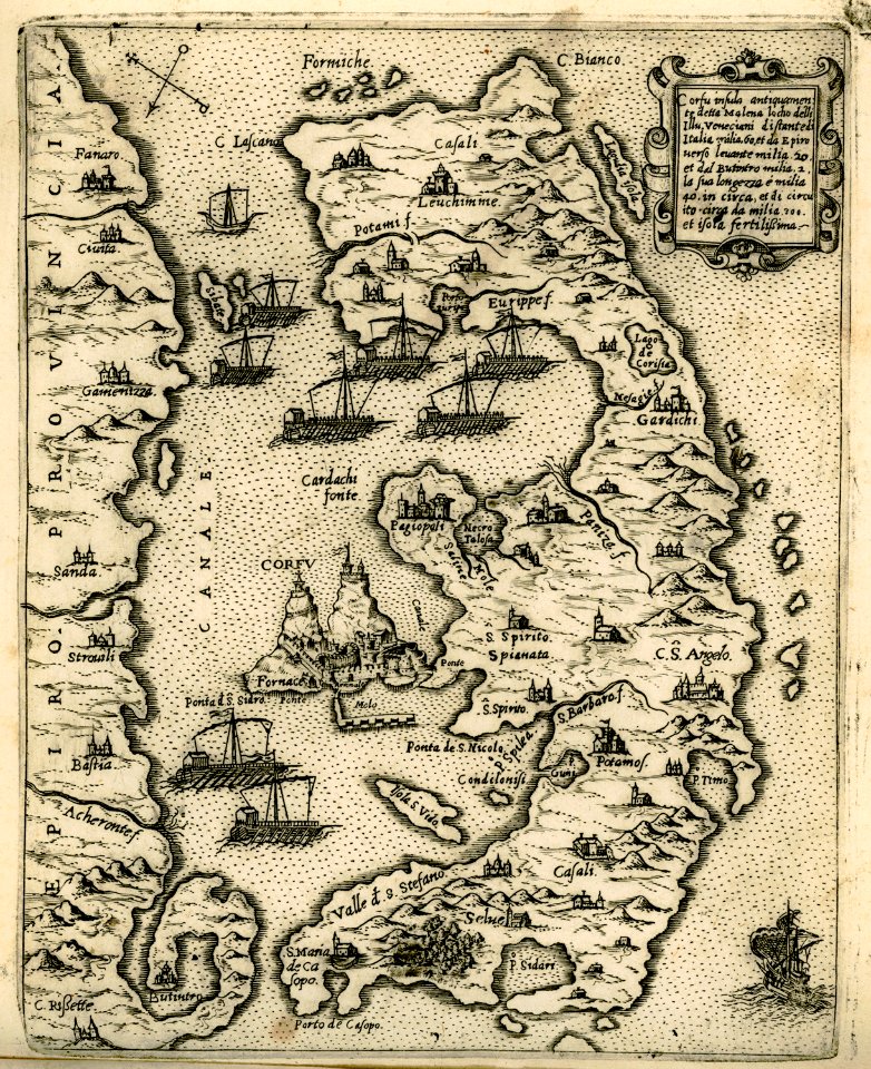
old maps of corfu
giovanni camocio
bibliothèque municipale de reims
rès. g 153
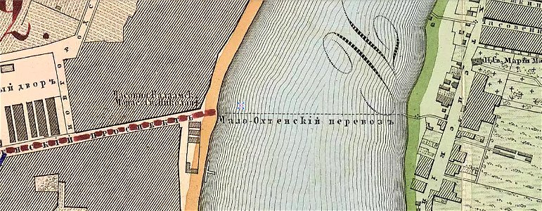
krasnogvardeysky district of saint petersburg
maps made in the 19th century
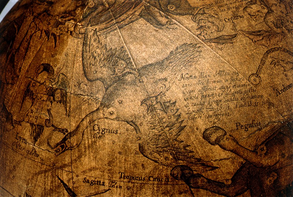
the northern hemisphere of the celestial globe by albrecht dürer
old celestial maps
drawings in the museu antônio parreiras
maps of lidingö
breviks gård
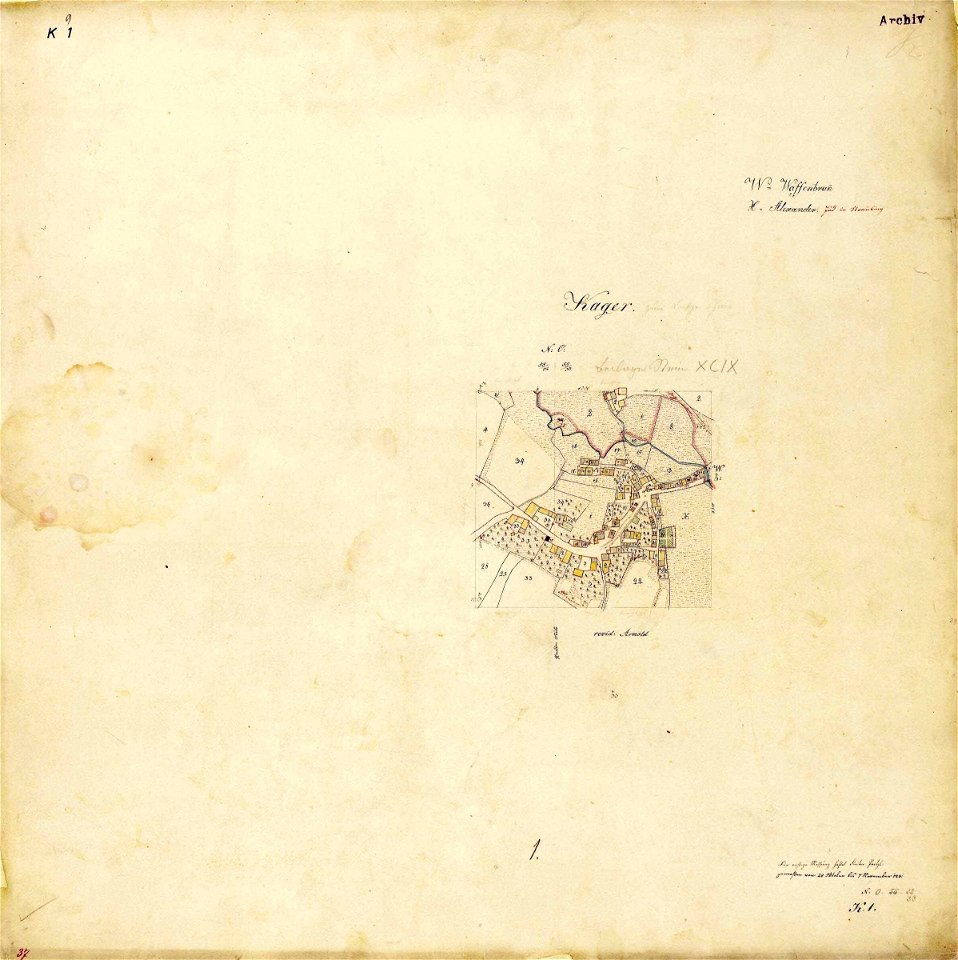
maps by royal bavarian land tax commission
kager
atlas of the russian empire (1792)
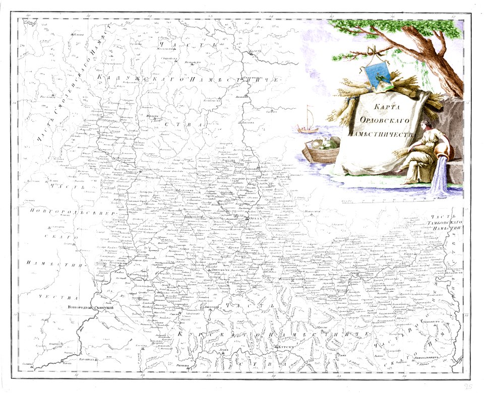
old maps of oryol governorate
maps by gerardus mercator
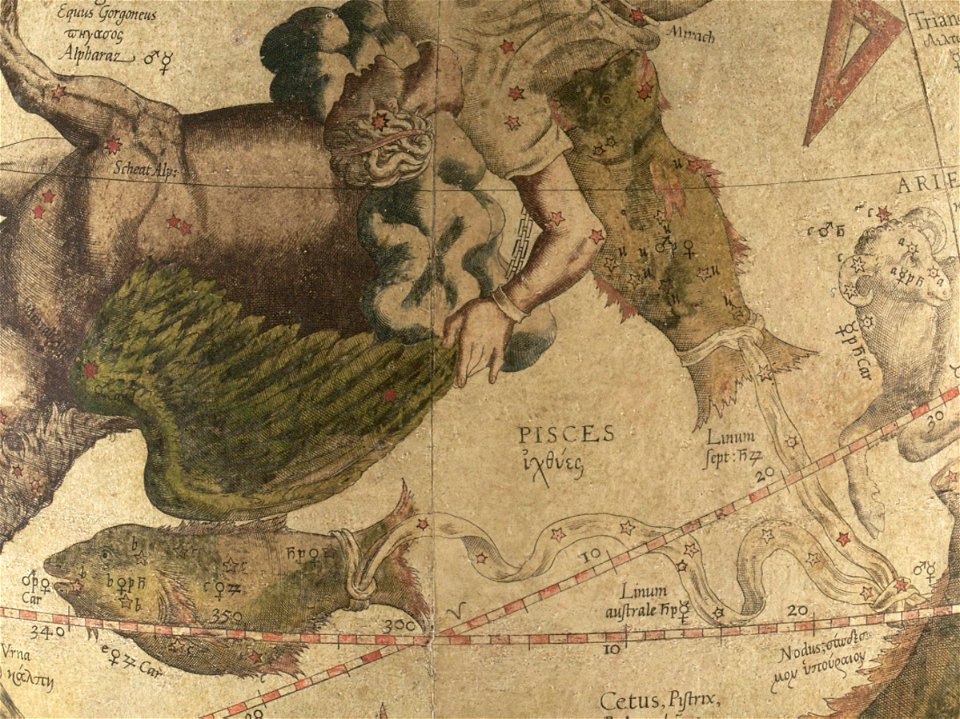
mercator celestial globe
maps by gerardus mercator
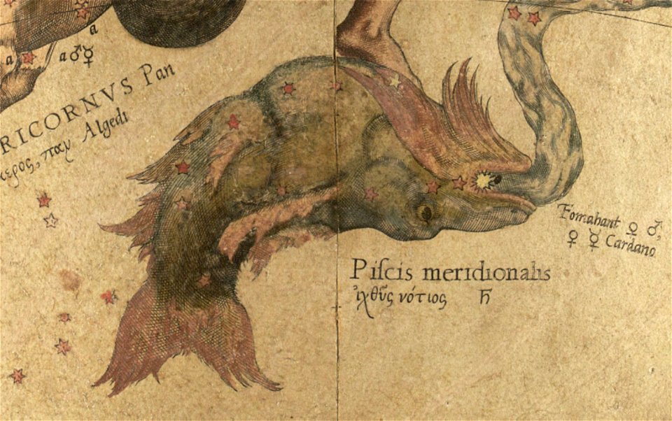
mercator celestial globe
fayence-manufaktur münden
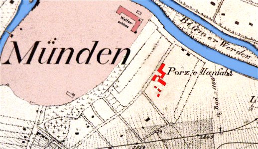
maps of hann. münden
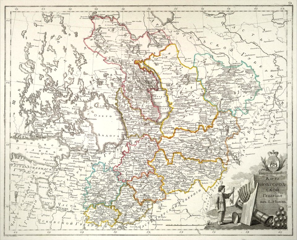
atlas of the russian empire (1800)
old maps of novgorod governorate
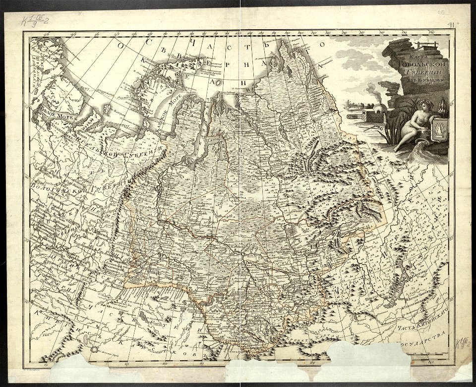
atlas of the russian empire (1800)
old maps of tobolsk governorate
maps in the stadsarchief amsterdam
romeyn de hooghe
edi expedition
aceh war
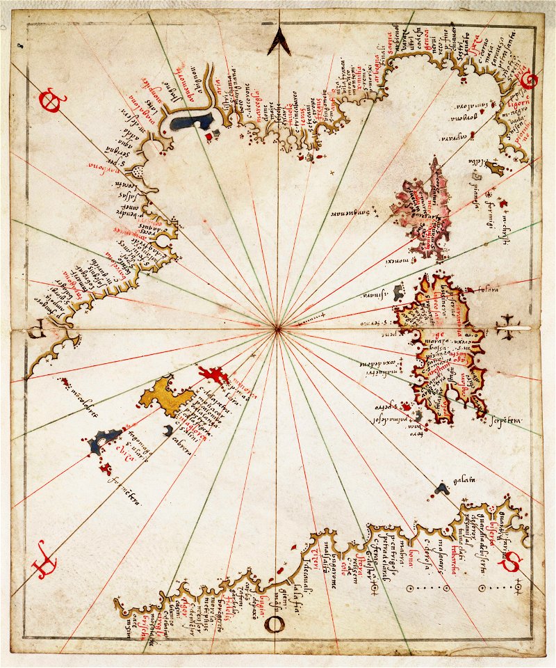
charts and maps of the royal museums greenwich
joan martines
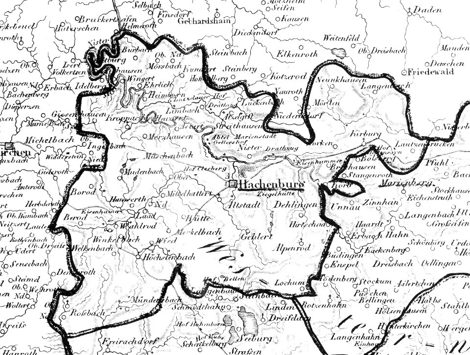
hachenburg
1828
atlas of the russian empire (1792)
old maps of tobolsk governorate
old celestial maps
plans of castles in lower saxony
1890s maps
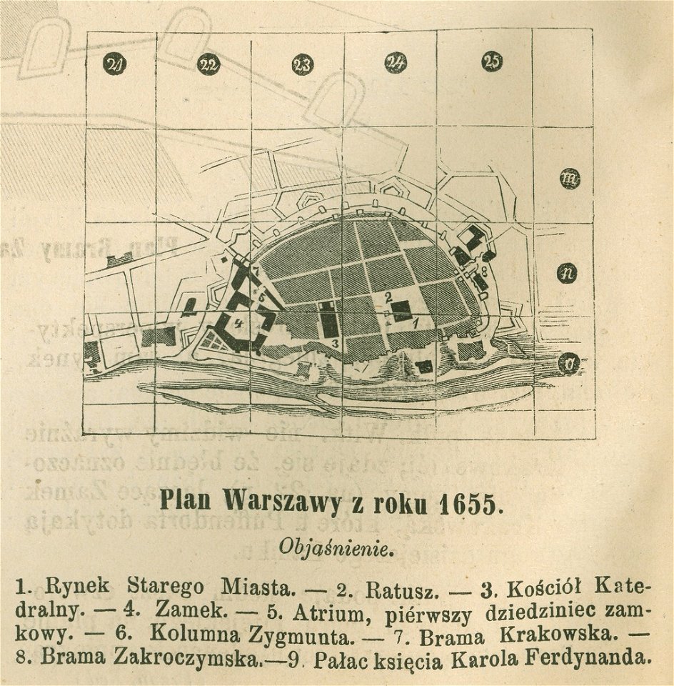
historical maps of warsaw
warsaw in the 1650s
maps by willem and johannes blaeu
charts and maps of the royal museums greenwich
geographical illustrations by coronelli
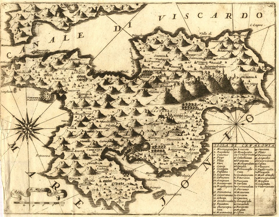
maps of kefalonia
geographical illustrations by coronelli
maps of lefkada
maps by gerardus mercator
mercator celestial globe
drawings (documentary) collection in the library of congress
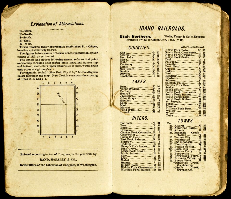
everett d. graff collection of western americana
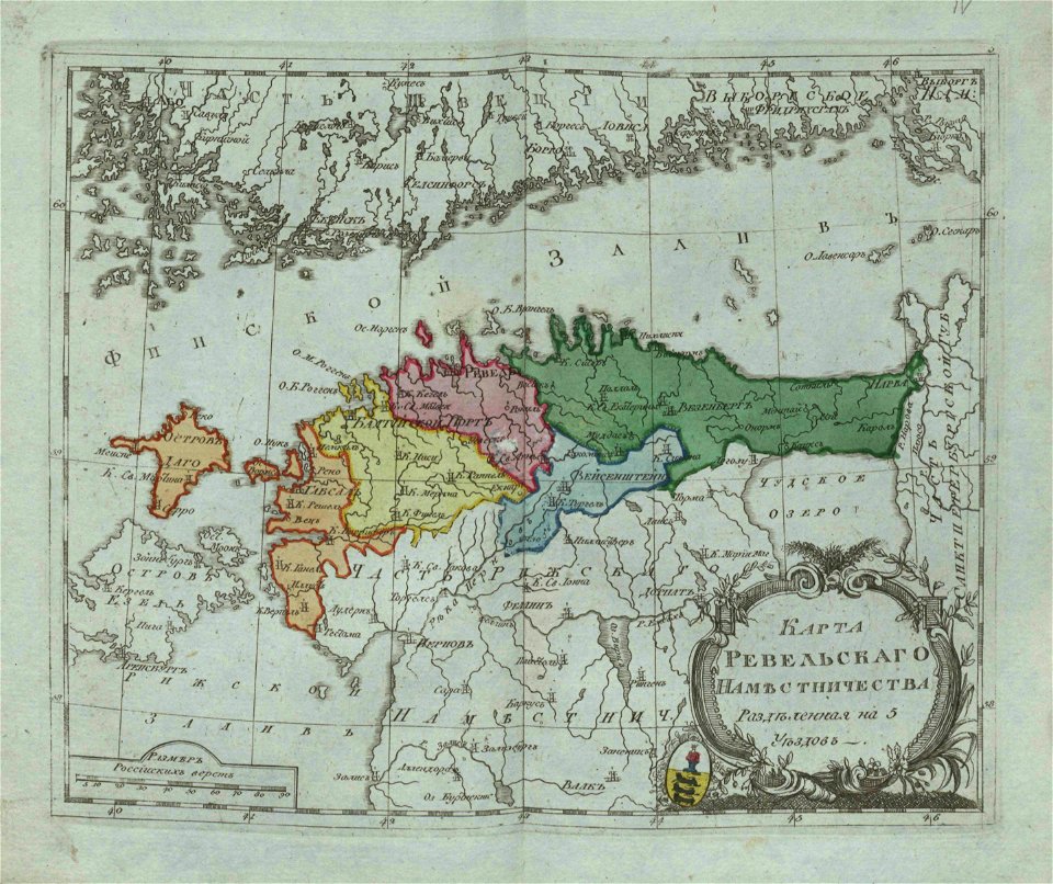
small atlas of the russian empire (1796)
everett d. graff collection of western americana
small atlas of the russian empire (1796)
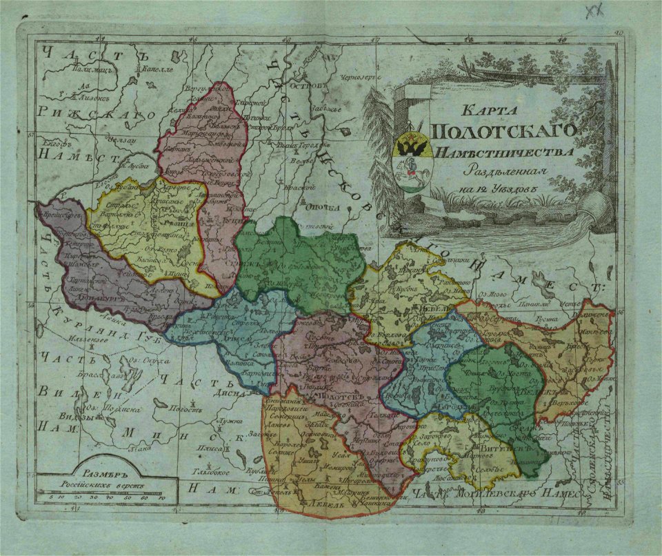
small atlas of the russian empire (1796)
small atlas of the russian empire (1796)
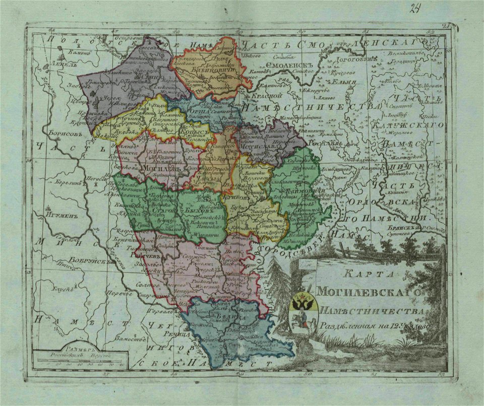
small atlas of the russian empire (1796)
geographical illustrations by coronelli
old maps of greece
maps in the amsterdam museum
maps of berlin-wannsee
park klein-glienicke
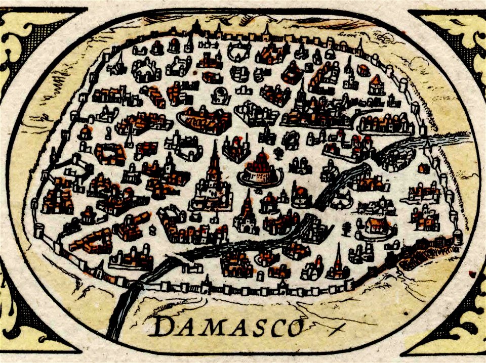
maps of damascus
damascus in art
asia noviter delineata
1610s maps of asia
istanbul in the 16th century
maps by sebastian münster
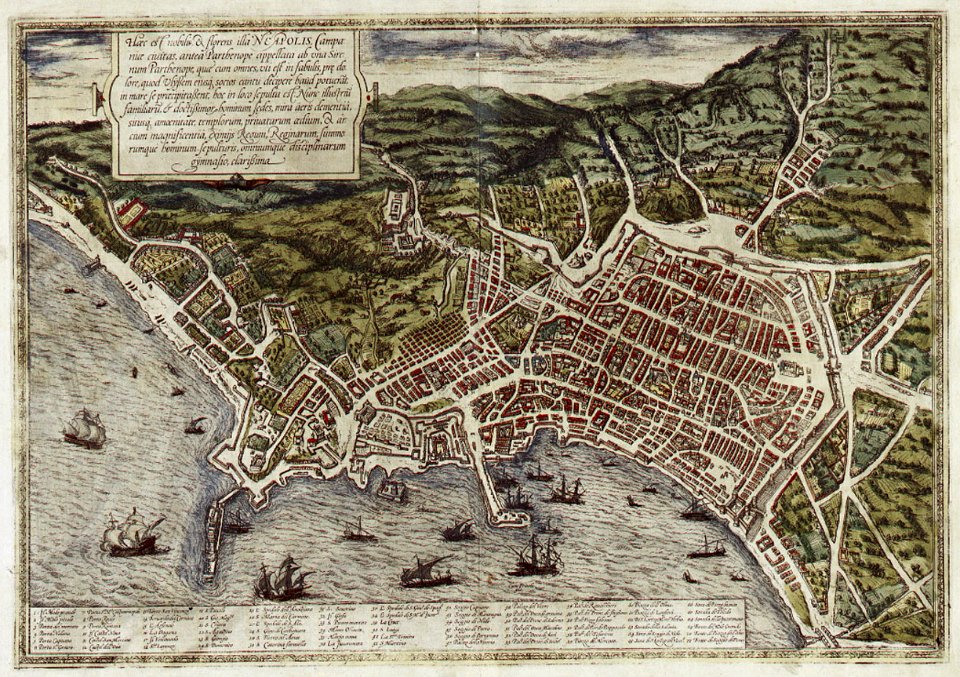
old maps of naples
braun & hogenberg
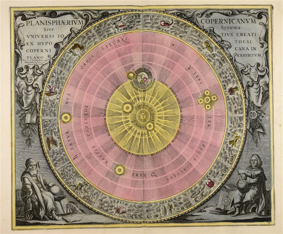
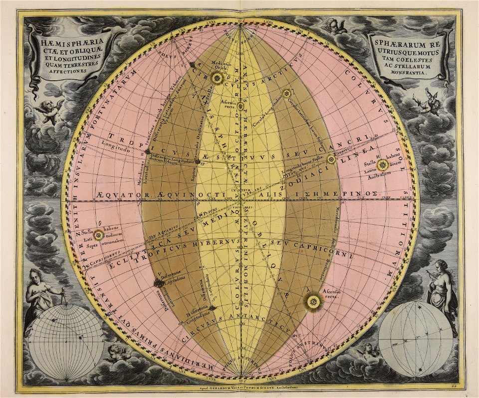
andreas cellarius
andreas cellarius
geocentric model
andreas cellarius
map of paris by claes jansz. visscher - derivate files
drawings of the bastille
netherlands in the 1660s
old maps of gelderland
maps of liège in the 17th century
la batte
1665
maps of the west-indische compagnie
1647
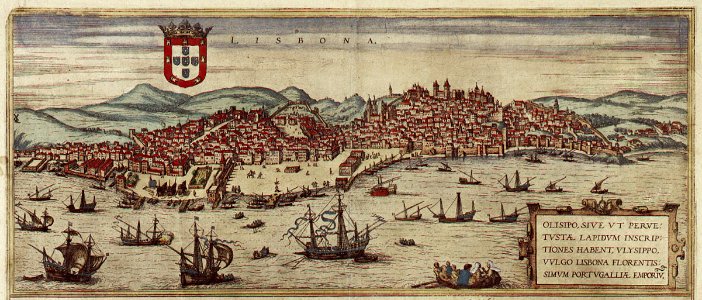
braun & hogenberg
1572 in lisbon
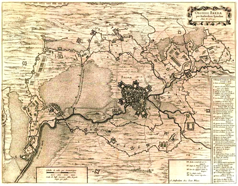
maps by willem and johannes blaeu
siege of breda 1624-1625
map of ferrara by andrea bolzoni
charts and maps of the royal museums greenwich
charts and maps of the royal museums greenwich
description des principales villes (1690)
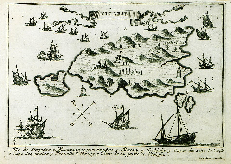
maps of icaria
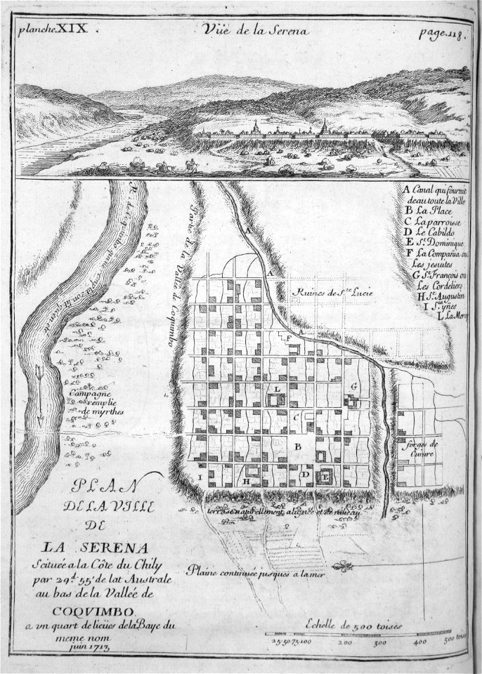
la serena
chile
background
maps
background
maps
background
maps
background
maps
background
maps
medicine
maps
maps
book
maps made in the 18th century
gerard valck
maps made in the 18th century
gerard valck
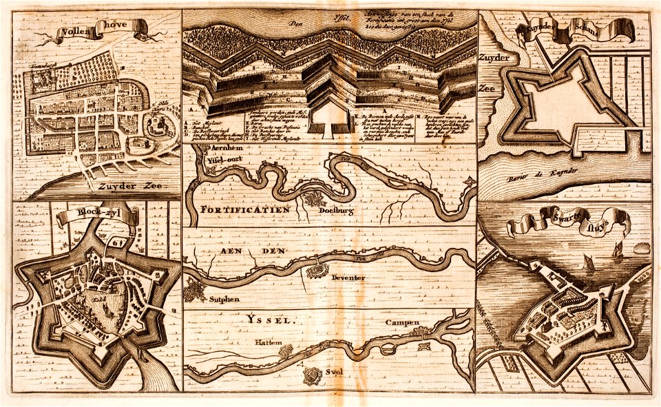
fortifications in the netherlands
zwartsluis
gerard valck
earth
background
maps
greeting
maps
background
maps
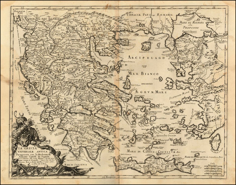
giacomo cantelli da vignola
old maps of szczecin
frans hogenberg
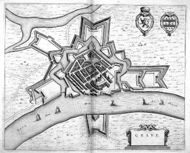
maps of grave
netherlands
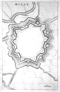
old maps of hulst
atlas beudeker
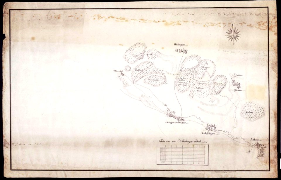
maps of württemberg
langenenslingen
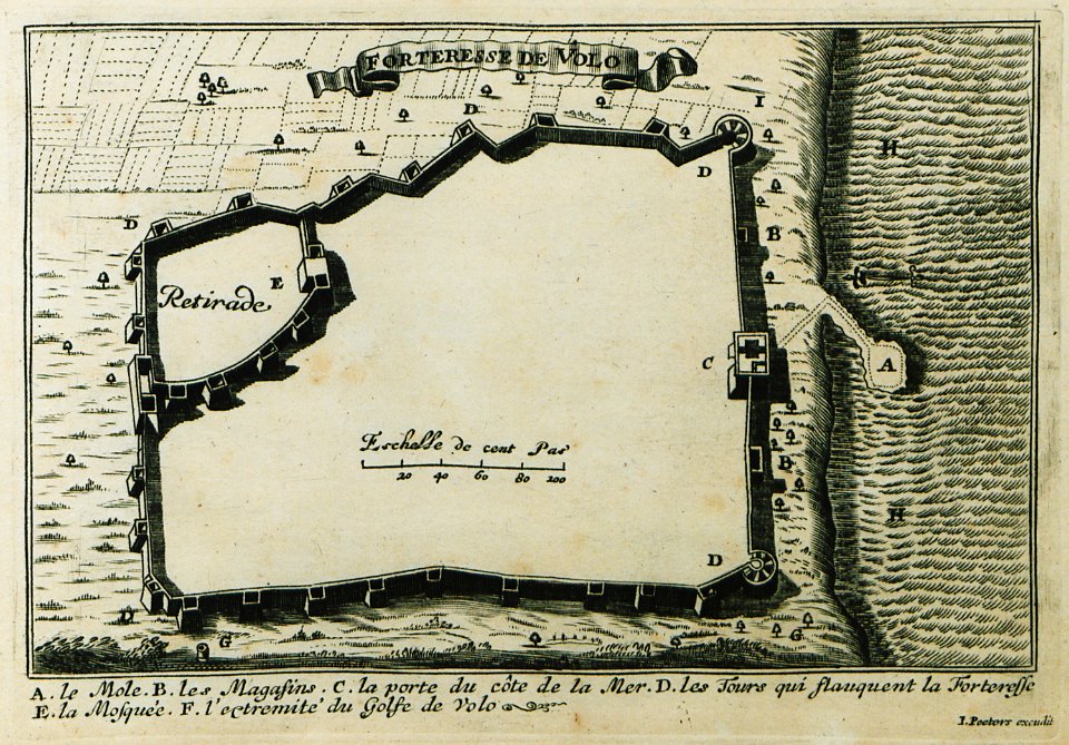
description des principales villes (1690)
maps of volos
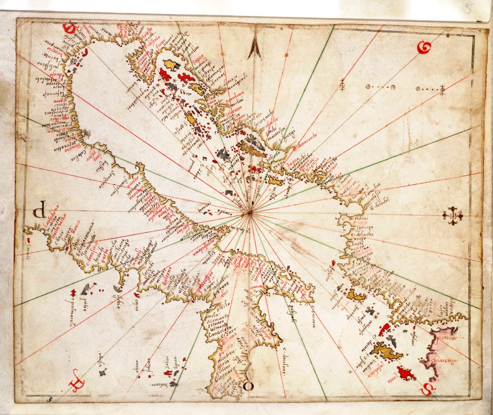
charts and maps of the royal museums greenwich
joan martines
charts and maps of the royal museums greenwich
joan martines
west-indische compagnie
1671
braun & hogenberg
cascais
braun & hogenberg
1572 engravings
palermo
1581
11301 - 11400 of 357,572
Next page
/ 3576