En
Log in
All resources
Create a design
Tools
357,572 Free Images of Maps
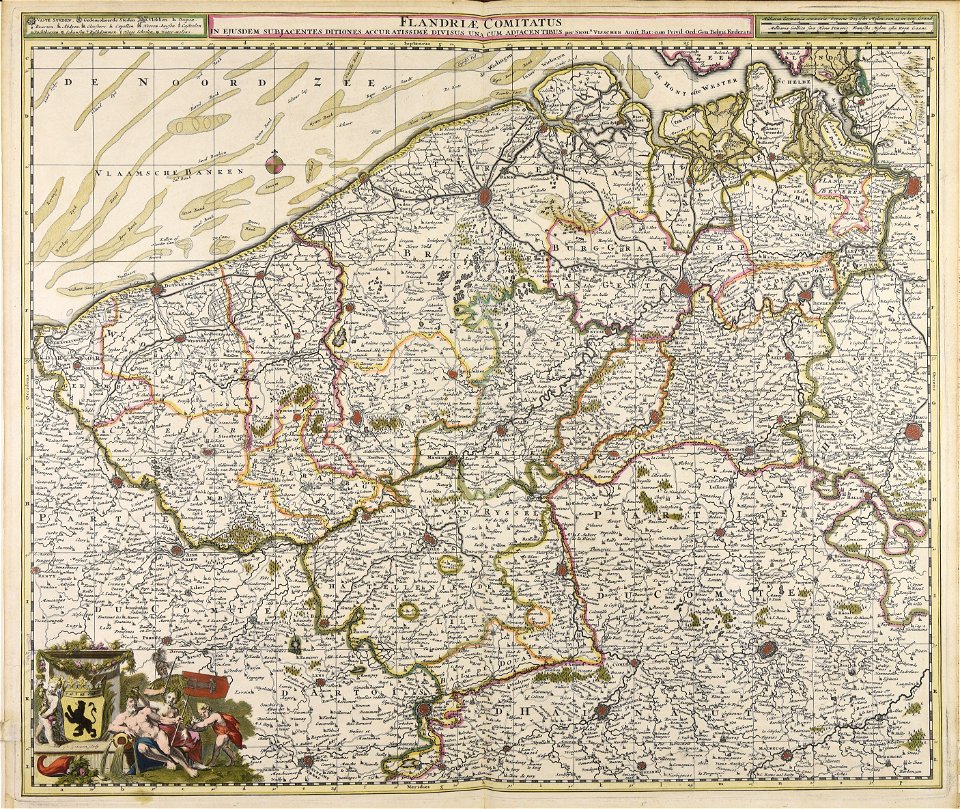
maps made in the 18th century
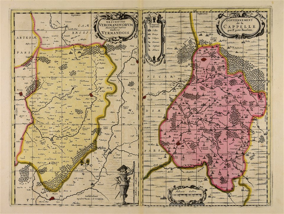
gerard valck
maps made in the 17th century
atlantis magni tomus primus (biblioteca comunale di trento)
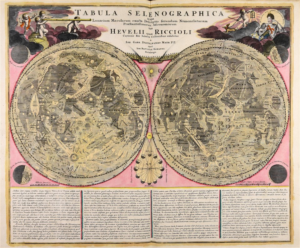
johann baptist homann
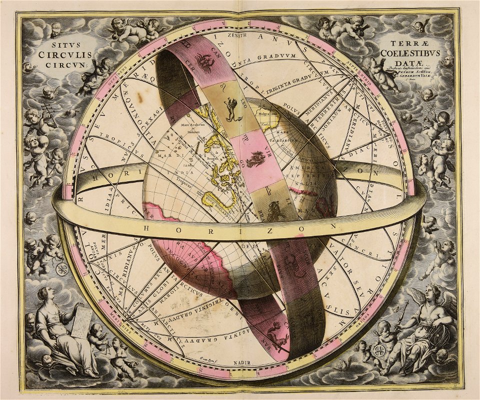
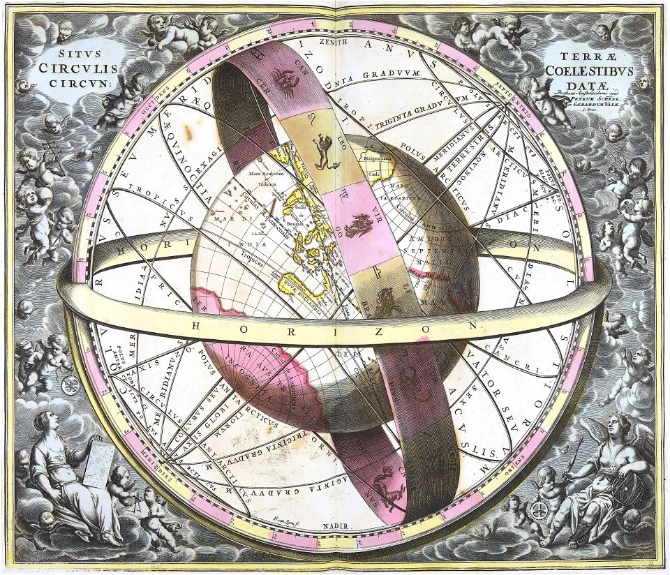
old celestial maps
atlas of the russian empire (1800)
geography
maps with cartouches
atlas van der hagen
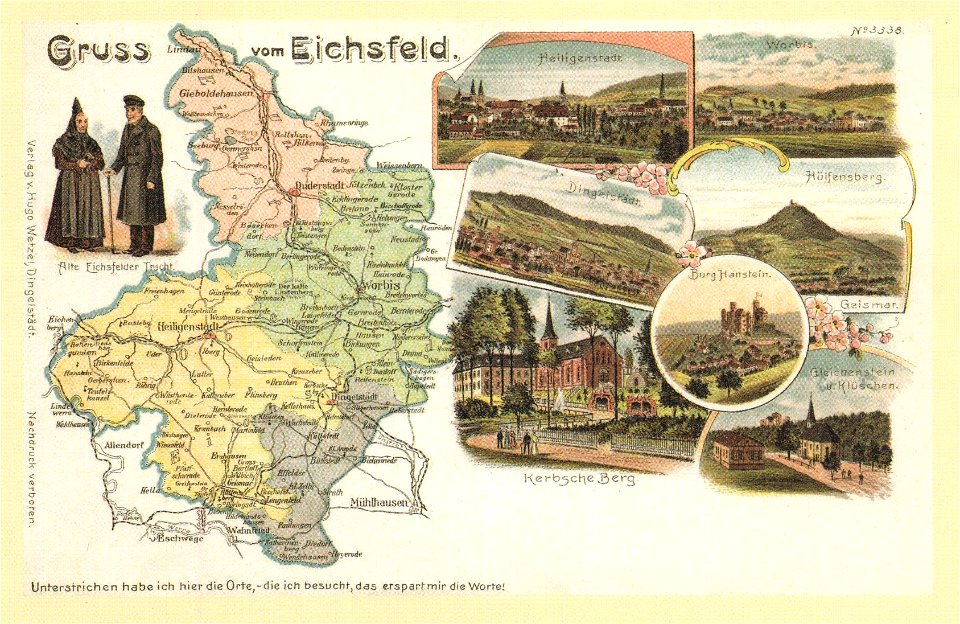
postcards with 9 images
map postcards
maps
leaf
separatism in russia
self-published work
symbol
maps
self-published work
spanish
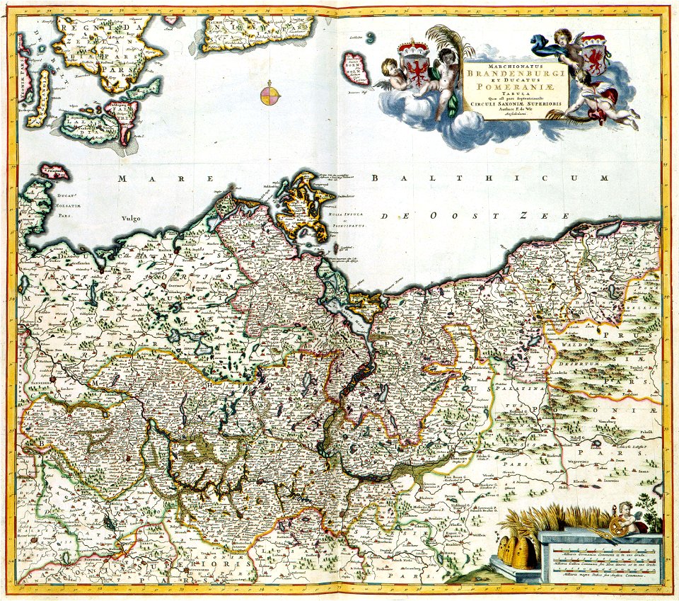
old maps of pomerania
maps with cartouches
maps with cartouches
atlas van der hagen
new jersey
hoboken
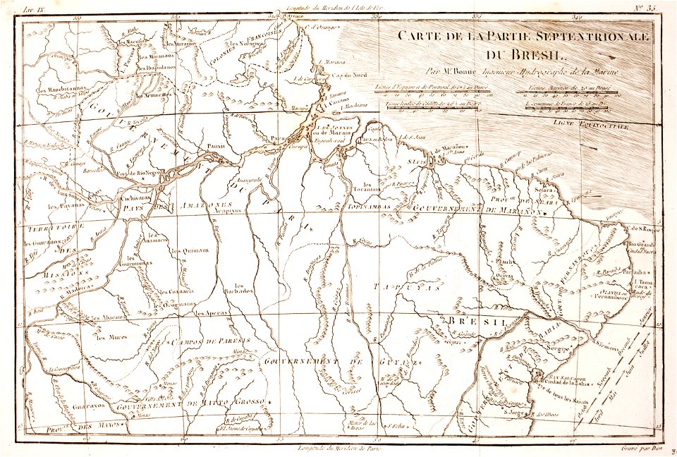
1780 in brazil
1780 maps
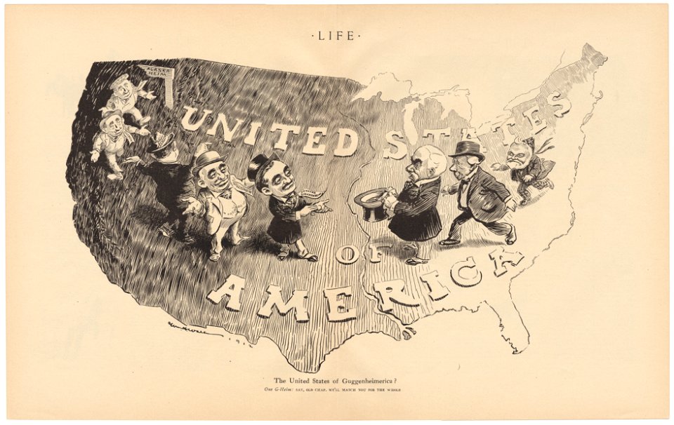
life
1912
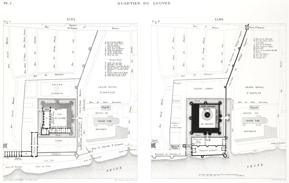
paris in the 16th century
lithographs of paris
maps in the library of congress
1782 maps
maps in the library of congress
1782 maps
maps made in the 17th century
gerard valck
johann baptist homann
moon
maps
flag
valid svg created with text editor:flag maps
logos of wikidata wikiprojects
maps
flag
self-published work
german flag
background
maps
gerard valck
moti
new jersey
hoboken
maps made in the 17th century
johann christoph steinberger
maps showing history
corfu
artworks with known accession number
artworks without wikidata item
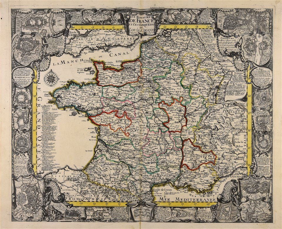
17th-century maps of france
maps with cartouches
maps made in the 17th century
gerard valck
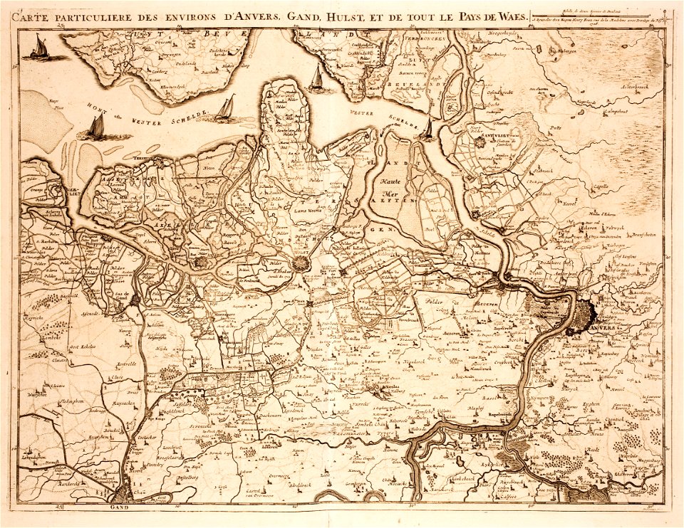
old maps of zeeland
western scheldt
maps made in the 17th century
nicolaes visscher ii
gerard valck
earth
travel
maps
us states
maps
nature
maps
atlas van der hagen (volume 4)
maps with cartouches
maps made in the 17th century
gerard valck
charts and maps of the royal museums greenwich
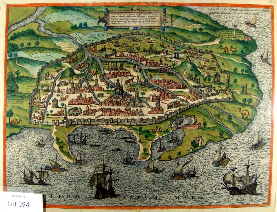
1590 maps
maps made in the 18th century
gerard valck
maps made in the 18th century
gerard valck
maps showing history
corfu
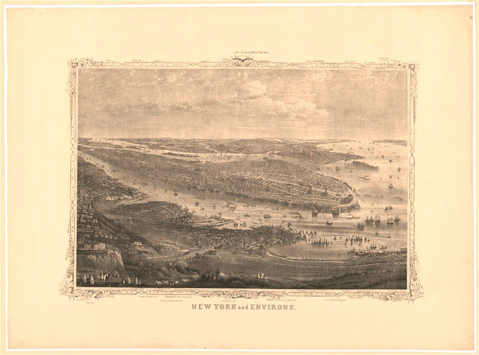
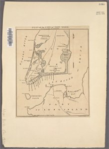
manual of the corporation of the city of new york (1856)
new york city
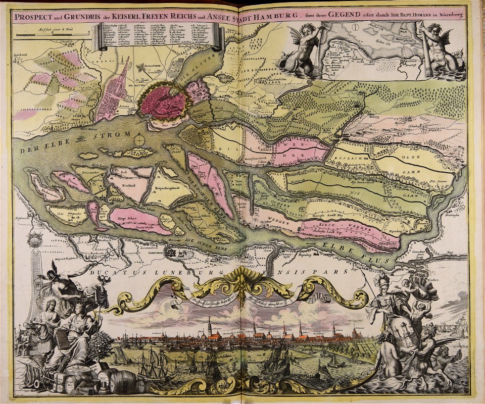
maps made in the 18th century
johann baptist homann
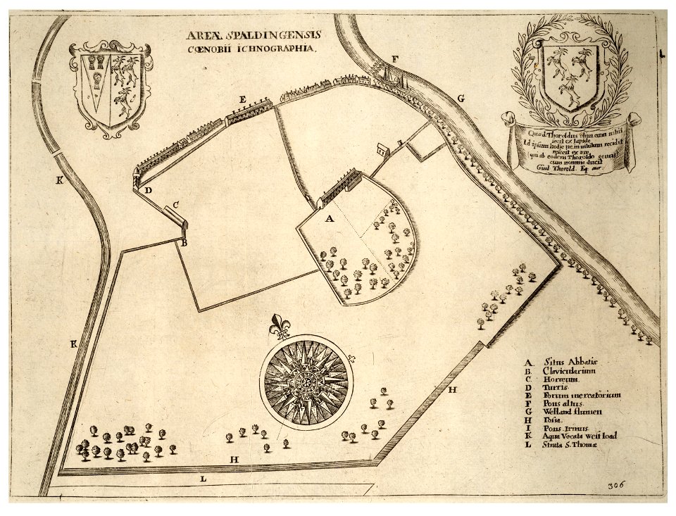
history of spalding
river welland
cornell university library
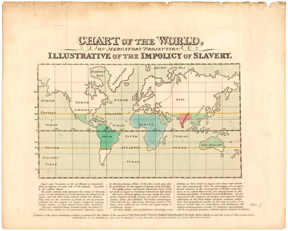
abolitionism
gerard valck
earth
maps made in the 17th century
nicolaes visscher ii
historical images of the pont saint-michel
lithographs of paris
background
maps
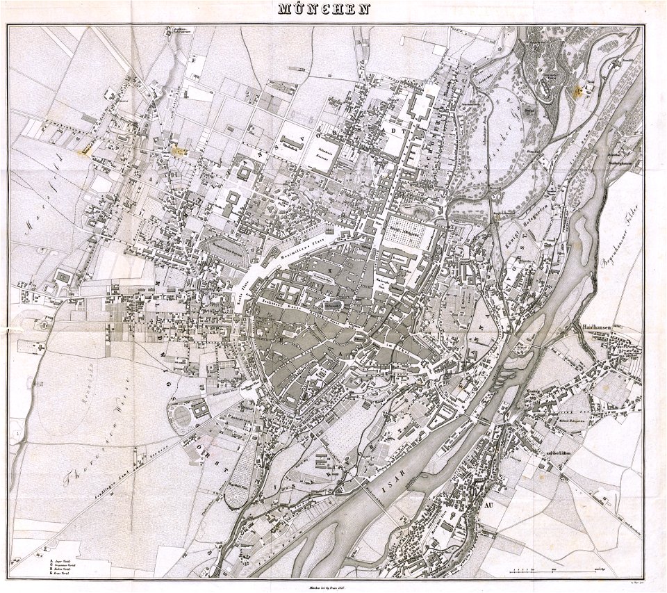
munich in the 19th century
old city maps of munich
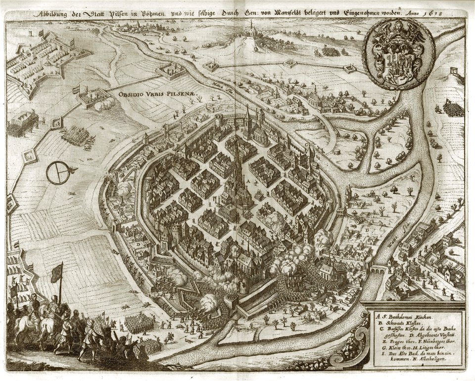
maps of battles of the thirty years' war
1618
1677 paintings
1677 maps
cornell university library
pictorial maps
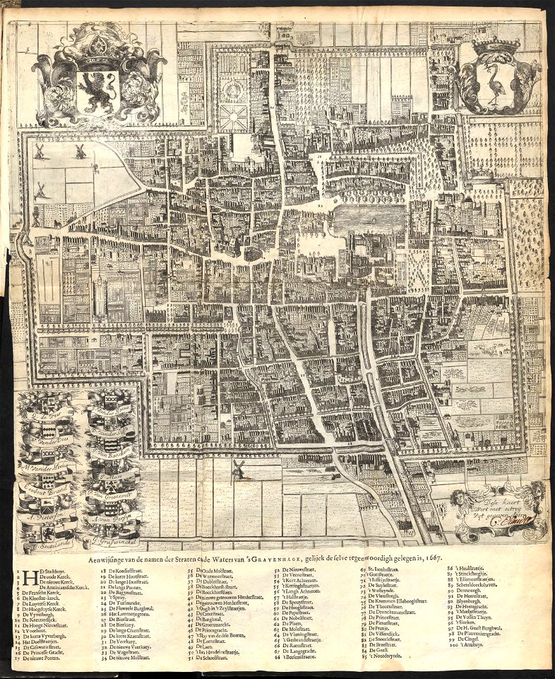
old maps of the hague
1668
coats of arms of cities in hautes-pyrénées
dominique larrey
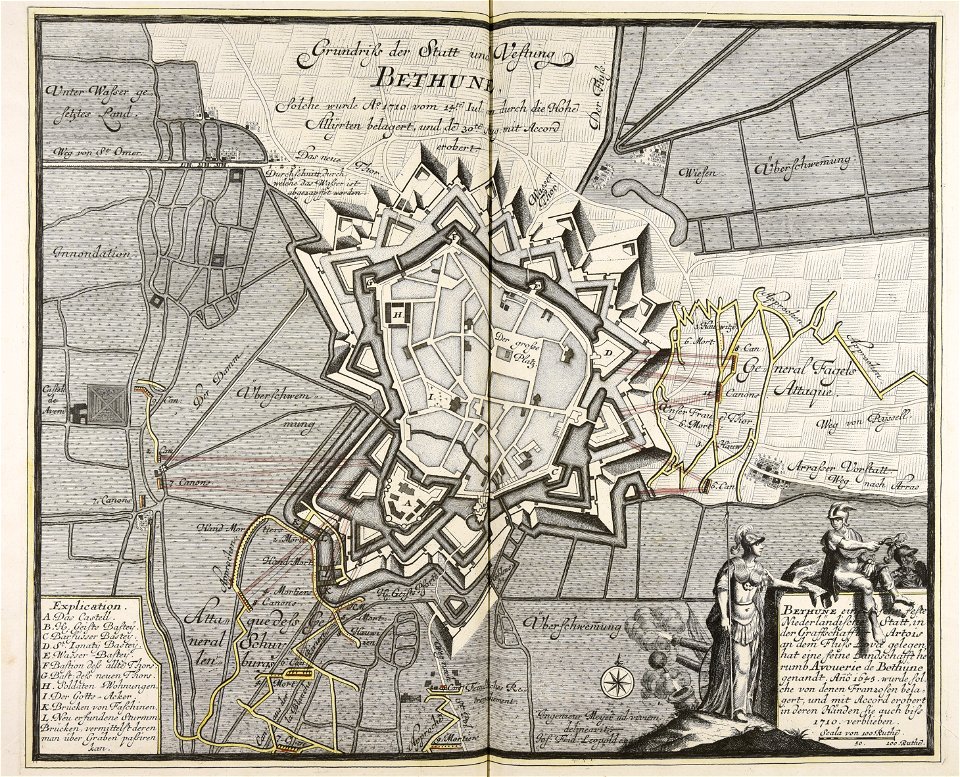
old maps of béthune
1710
artworks without wikidata item
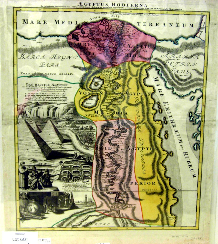
1720s maps of egypt
maps
city
background
maps
village
maps
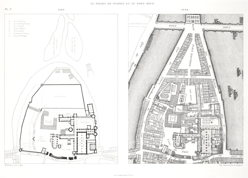
palais de la cité
conciergerie
images from metropolitan museum of art (paris project)
1842 in paris
maps with cartouches
atlas van der hagen
18th-century maps of stockholm
veduta
lake george, new york
1768 maps
coats of arms of the tsardom of russia
crowned double-headed eagles
maps made in the 17th century
gerard valck
1758
1711
the antiquities of magna graecia (1807)
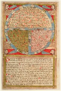
15th-century maps of the world
historical images of lepiel
maps of liepieĺ
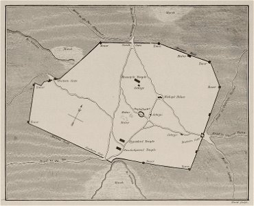
archaeological sites in nubia
lepsius-projekt - maps
lepsius-projekt - maps
abydos
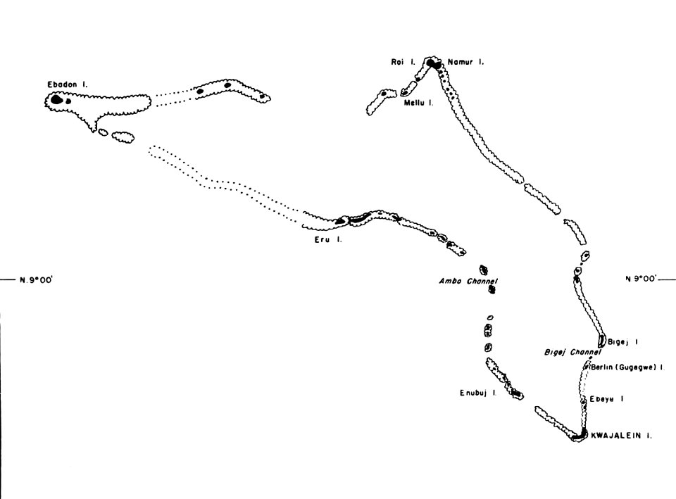
kwajalein atoll during world war ii
maps of kwajalein atoll
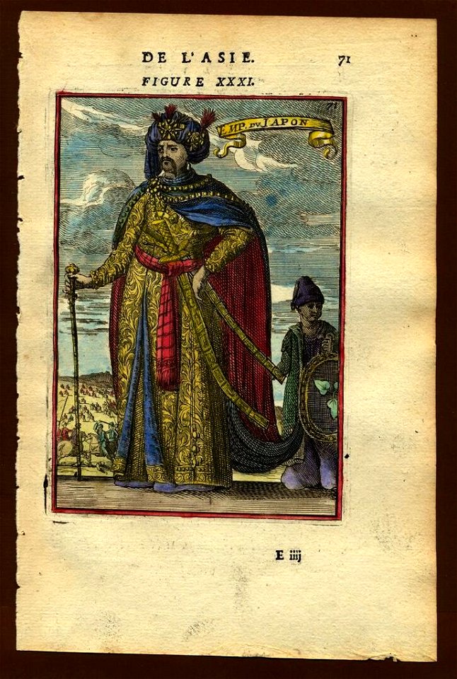
description de l'universe
old maps of japan
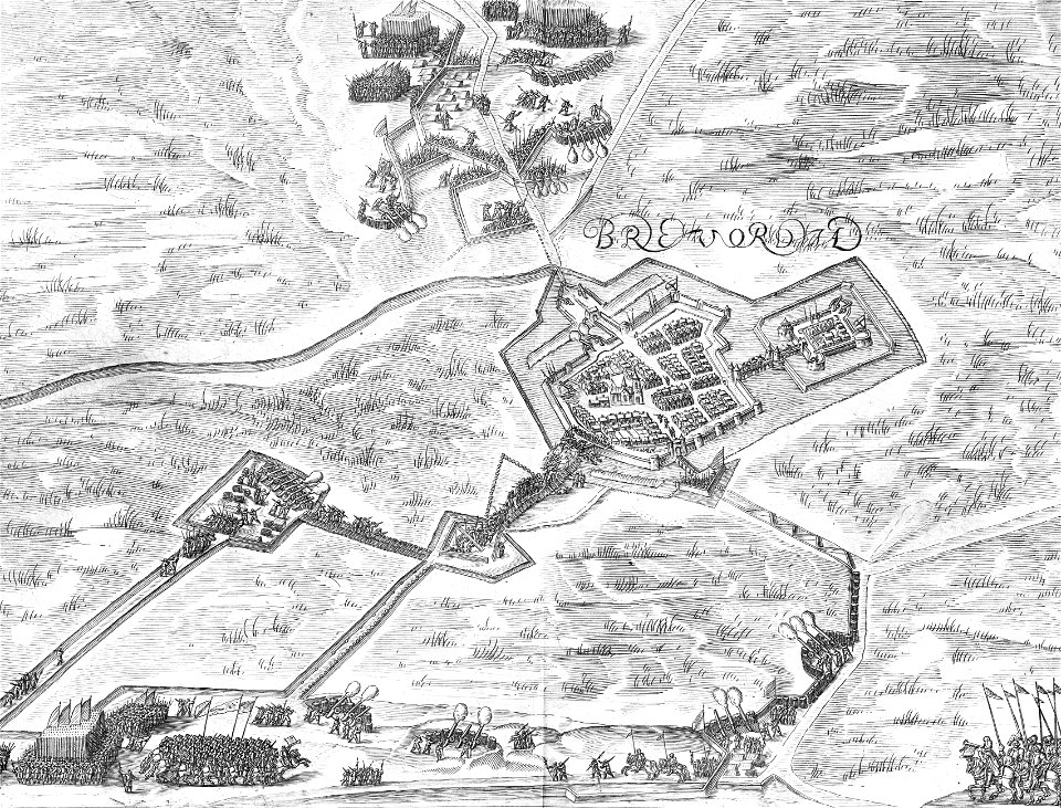
old maps of bredevoort
pikemen
old maps of braunschweig
hutfiltern
provided by landsbókasafn íslands
philips galle
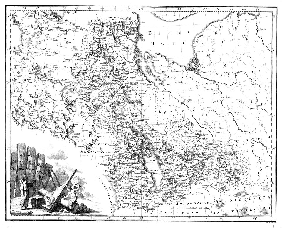
atlas of the russian empire (1792)
old maps of olonets governorate
maps by antonio millo
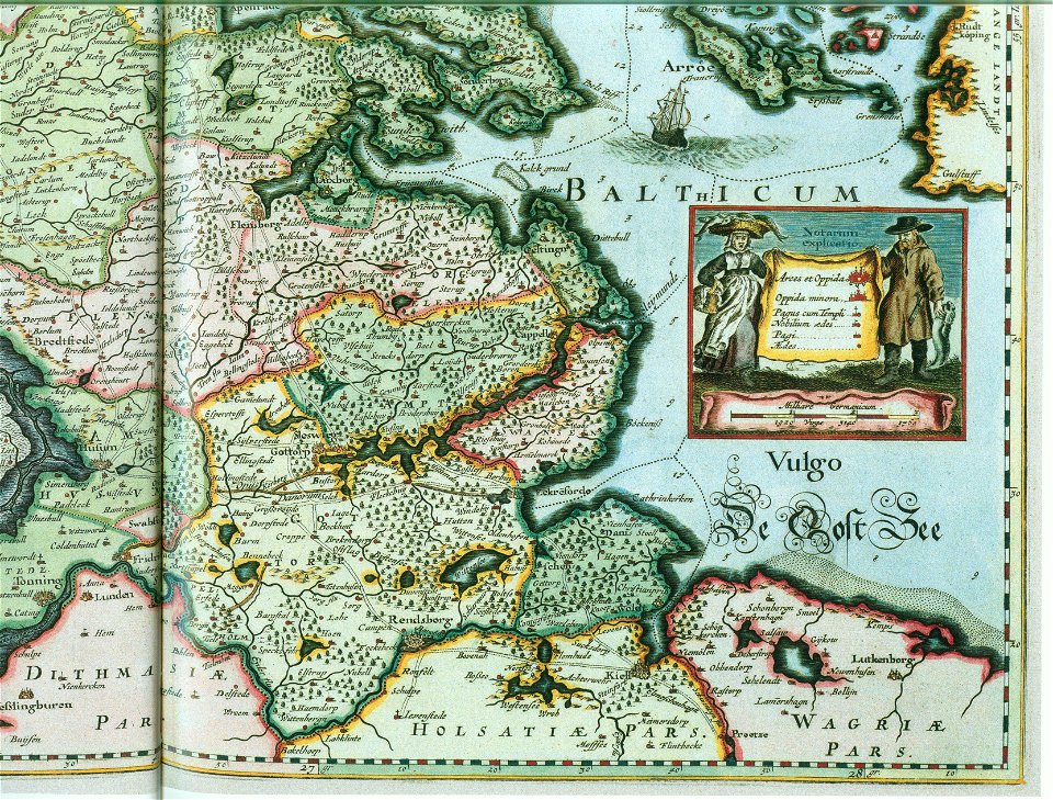
ducatus sleswicum sive justia australis
maps by johannes mejer
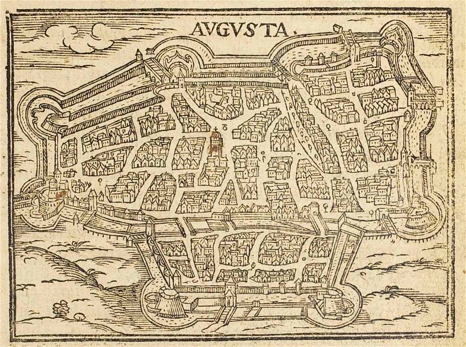
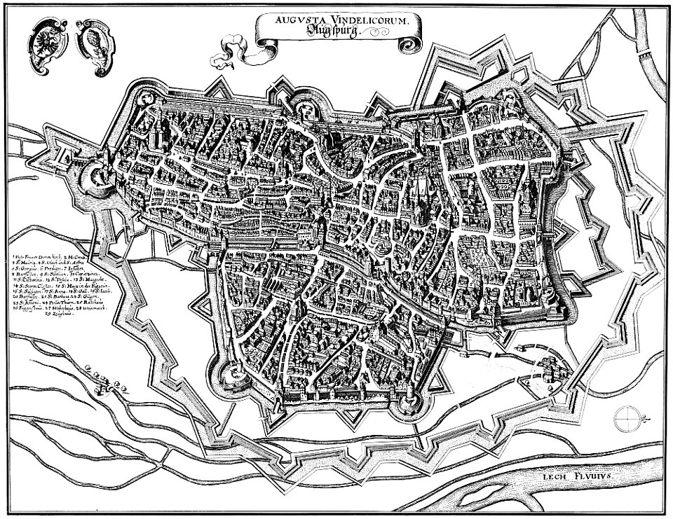
theatrum urbium (1610)
1610s maps of augsburg
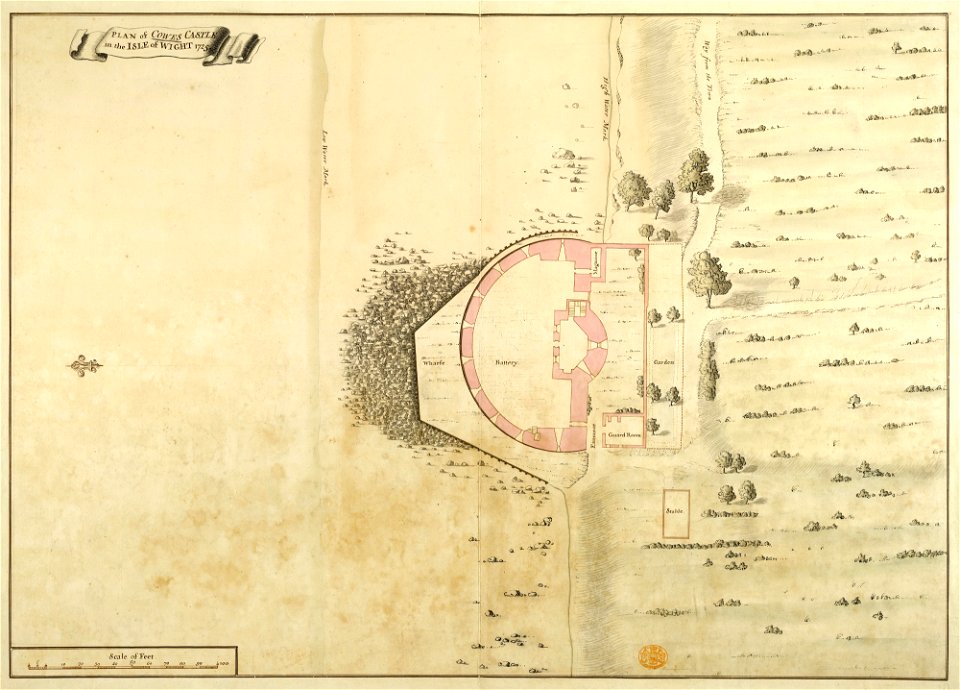
maps and plans of the device forts
cowes castle
description de l'universe
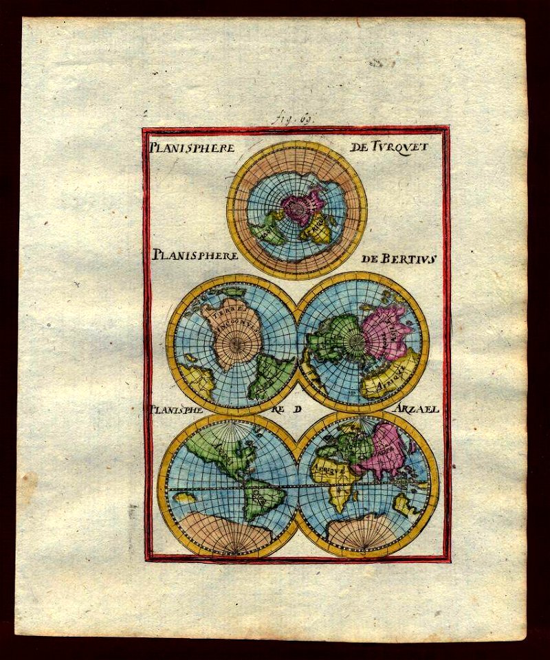
1710s maps of the world
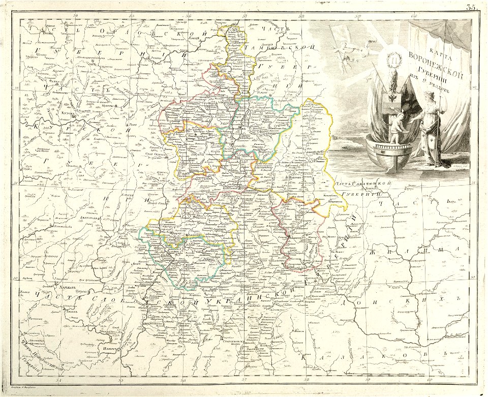
atlas of the russian empire (1800)
maps of voronezh governorate
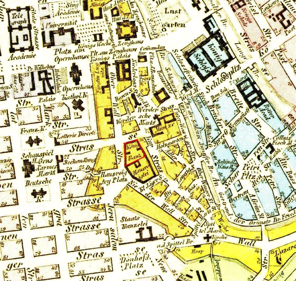
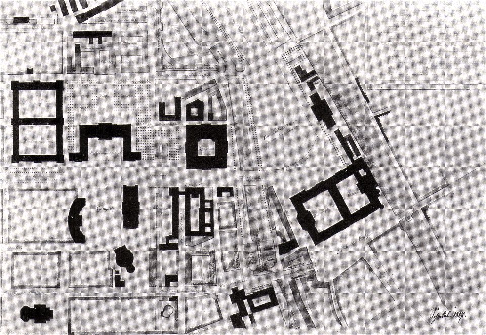
parts of old maps of berlin
königliche hauptbank
atlas of the russian empire (1792)
old maps of moscow governorate
description de l'universe
old maps of japan
parts of old maps of berlin
alte nationalgalerie
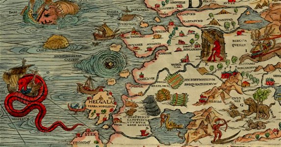
carta marina (details)
sea serpent
engravings by matthäus merian
1640s maps of augsburg
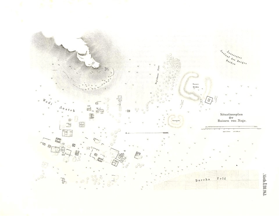
lepsius-projekt - maps
naqa
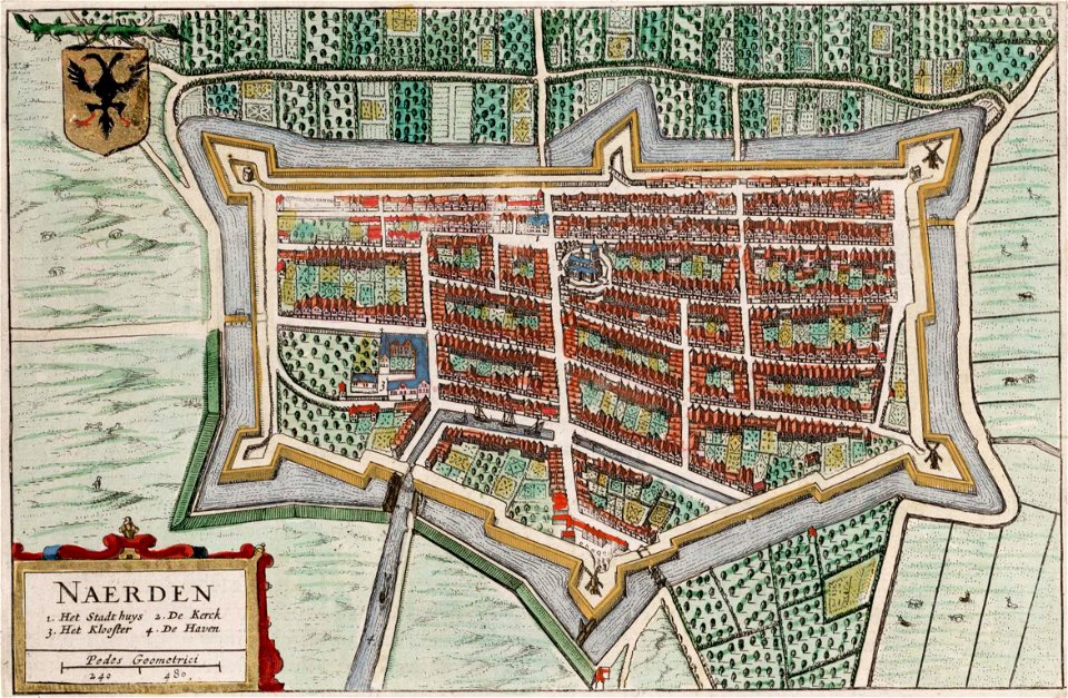
old maps of naarden
atlas van loon
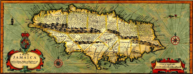
17th-century maps of jamaica
cartography of jamaica
maps by antonio millo
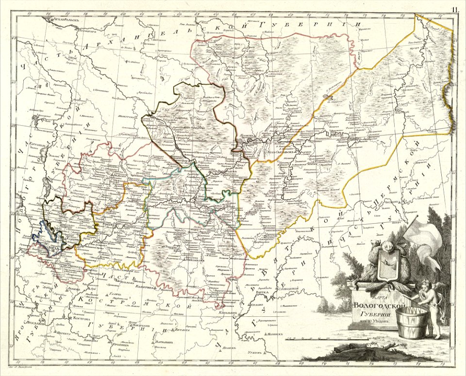
atlas of the russian empire (1800)
maps of vologda governorate
atlas of the russian empire (1800)
maps of kazan governorate
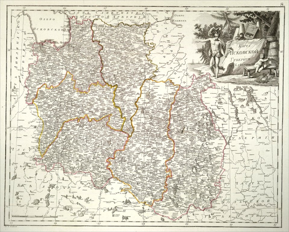
atlas of the russian empire (1800)
maps of pskov governorate
atlas of the russian empire (1800)
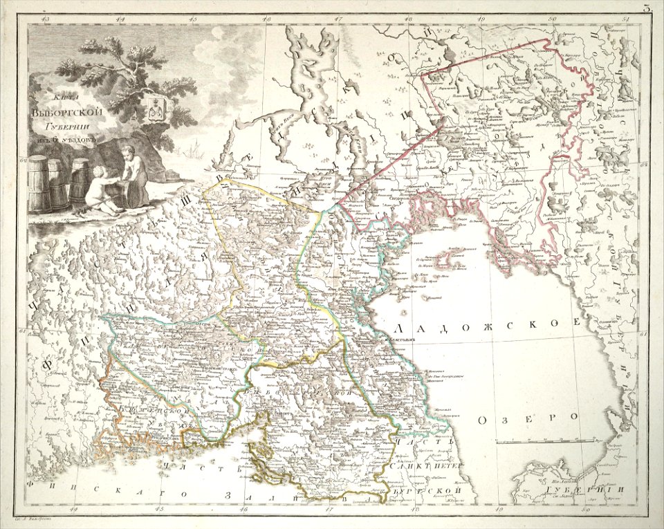
maps of wyborg governorate
atlas of the russian empire (1800)
maps of vladimir governorate
maps by gerardus mercator
orion in art
berger collection
old map
10901 - 11000 of 357,572
Next page
/ 3576