En
Log in
All resources
Create a design
Tools
357,572 Free Images of Maps
cc-zero
pages with maps
postcard
greeting card
background
geography
village
love
flower
ecosystems
city
town
self-published work
rural
self-published work
architecture
self-published work
pages with maps
self-published work
architecture
self-published work
pages with maps
self-published work
cc-by-sa-4.0
architecture
roof
grass
green
self-published work
lawn
architecture
village
pages with maps
cc-zero
green
tree
grass
field
sunset
water
water
sea
self-published work
town
sidewalk
pavement
traffic
city
architecture
roof
sidewalk
pavement
village
roof
mountain
water
village
roof
vehicle
car
village
roof
self-published work
insects
village
roof
self-published work
pages with maps
architecture
travel
self-published work
philadelphia zoo
self-published work
traffic
self-published work
animals
self-published work
animals
self-published work
pages with maps
self-published work
animals
animals
insects
grass
tree
nature
plants
self-published work
pages with maps
self-published work
pages with maps
self-published work
green
forest
tree
architecture
pavement
landscape
nature
sidewalk
town
grass
field
water
blue
travel
maps
celebrities
maps
background
maps
technology
maps
celebrities
maps
background
maps
fashion
maps
fashion
maps
background
maps
background
maps
background
maps
valentine's day
maps
nature
maps
maps
tree
nature
maps
christmas
maps
maps
tree
background
maps
self-published work
pages with maps
self-published work
pages with maps
images from the national museum of australia
old maps of the pacific ocean
self-published work
rock
water
tree
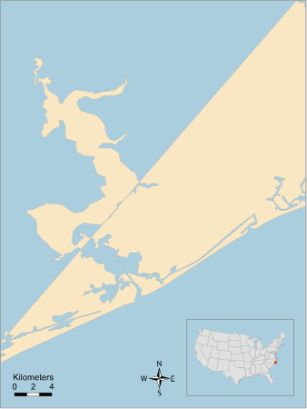
assateague island ocean
atlantic ocean
vector images using elements from other vector images
self-published work
atlantic ocean
ecosystems
atlantic ocean
blue
background
maps
character
symbol
animals
symbol
atlantic ocean
back river
van langren map of southeast asia
1619 maps of asia
atlantic ocean
carolina
atlantic ocean
chesapeake bay
ecosystems
casey
technology
maps
17th-century maps of the strait of magellan
maps by nicolas sanson
18th-century double hemisphere world maps
1720s maps of the world
magni ducatus lithuaniae
history of olsztyn
1770s maps of china
1779 maps
background
maps
background
maps
business
maps
background
maps
valentine's day
maps
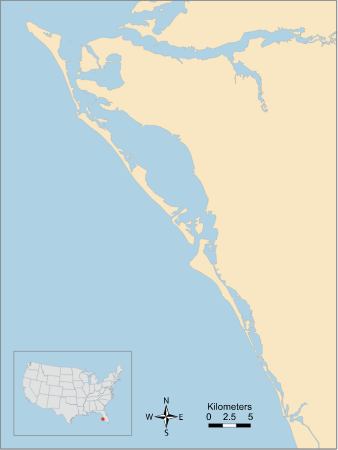
caloosahatchee river
ecosystems
bezirk bruck-mürzzuschlag
tragöß-sankt katharein
perris maps of manhattan published 1852–1853
old brick church (new york city)
maps of avesnes-sur-helpe by braun & hogenberg
frederick de wit
historical images of holzbrücke rapperswil–hurden
historical images of rapperswil-jona
self-published work
cc-pd-mark
self-published work
cc-pd-mark
100101 - 100200 of 357,572
Next page
/ 3576