En
Log in
All resources
Create a design
Tools
357,572 Free Images of Mapping
maps
background
geography
world
abstract
countries
world map
national
template
globe
bridge
boat
atlas
art
objects
maps
background
maps
maps made in the 17th century
jan janssonius
maps with cartouches
atlas van der hagen
engravings by matthäus merian
maps of baroque gardens
johann baptist homann
earth
matsushima (matsushima bay)
boston
zürich hauptbahnhof
1847
historical images of landstraße
palais rasumofsky
heaven
happy
prints from bonne atlas de toutes les parties at the peace palace library
dien (printer)
atlantis magni tomus quartus (biblioteca comunale di trento)
maps made in the 17th century
historical images of baden
switzerland
geographical illustrations by coronelli
old maps of the peloponnese
landscape art
stuart period
maps made in the 18th century
johann baptist homann
agriculture
bird
finger
blur
adventure
people
maps of midian
darts
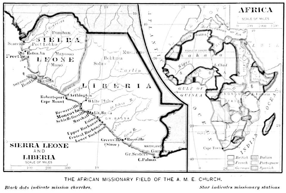
old maps of sierra leone
old maps of liberia
17th-century maps of korea
1680s maps of china
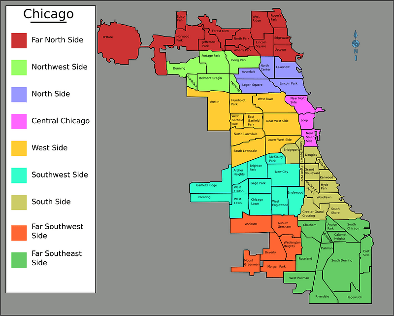
illinois
chicago
money
maps
skillshare 2010 stadtarchiv
stadtarchiv lüneburg
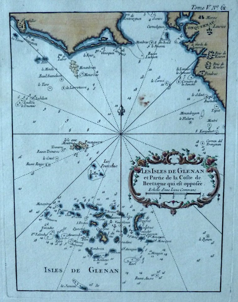
jacques-nicolas bellin
maps of îles de glénan
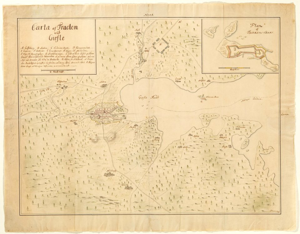
maps in skokloster castle
1720 maps
18th-century maps of sweden
maps in skokloster castle
maps
land
travel
maps
valentine's day
maps
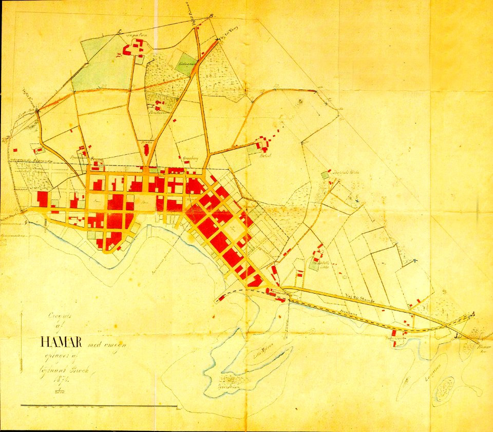
1874 maps of norway
old maps of hamar
usgs maps by state of the united states
tiny
belize city in the 1980s
maps of belize
woman
maps
maps
land
light weight aggregates
aggregate
compass
maps
brick
wall
background
decoration
self-published work
map icons
maps
flag
emblem
sign
continent
maps
self-published work
tree icon
illustrations by staszek szybki jest
self-published work
maps
flag
maps
flag
maps
flag
carpet
bear
skiing
skier
maps
flag
maps
flag
library symbols
library book
stencil
symbol
world map
chess
maps
luck
earth
maps
science
museum
mining in greece
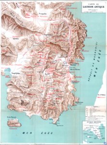
maps of laurium
maps by philippe vandermaelen
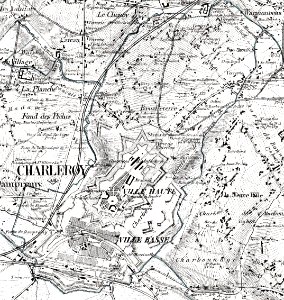
old maps of charleroi
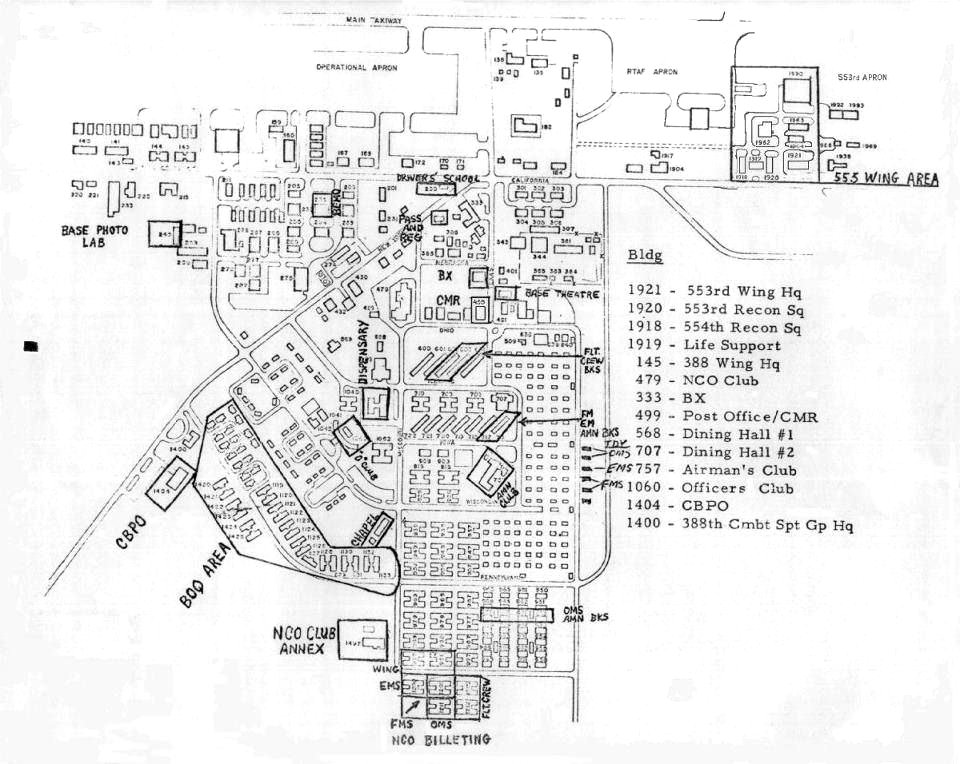
maps of korat royal thai air force base
20th-century maps of japan
things japanese
flower
maps
africa
maps
flower
maps
camera
book
globe
maps
maps
food
world map
earth
background
maps
background
maps
background
maps
background
maps
background
maps
background
maps
school
sea
symbol
maps
birthday
maps
background
maps
national
maps
background
maps
birthday
maps
background
symbol
germany
yellow
maps made in the 18th century
maps in skokloster castle
maps in skokloster castle
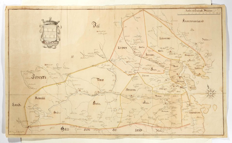
maps of medelpad
maps in the library of congress
d.c.,
maps in the library of congress
d.c.,
vehicle
maps
history of indonesia
mataram sultanate
18th-century maps of guadeloupe
dien (printer)
1820s lithographs
chile
historical images of the canton of graubünden
valtellina
atlantis magni tomus secundus (biblioteca comunale di trento)
maps made in the 17th century
atlantis magni tomus secundus (biblioteca comunale di trento)
maps made in the 17th century
ottomar elliger (ii)
fort rotterdam
maps made in the 18th century
works by guillaume delisle
15201 - 15300 of 357,572
Next page
/ 3576