En
Log in
All resources
Create a design
Tools
357,572 Free Images of Map
maps in the library of congress
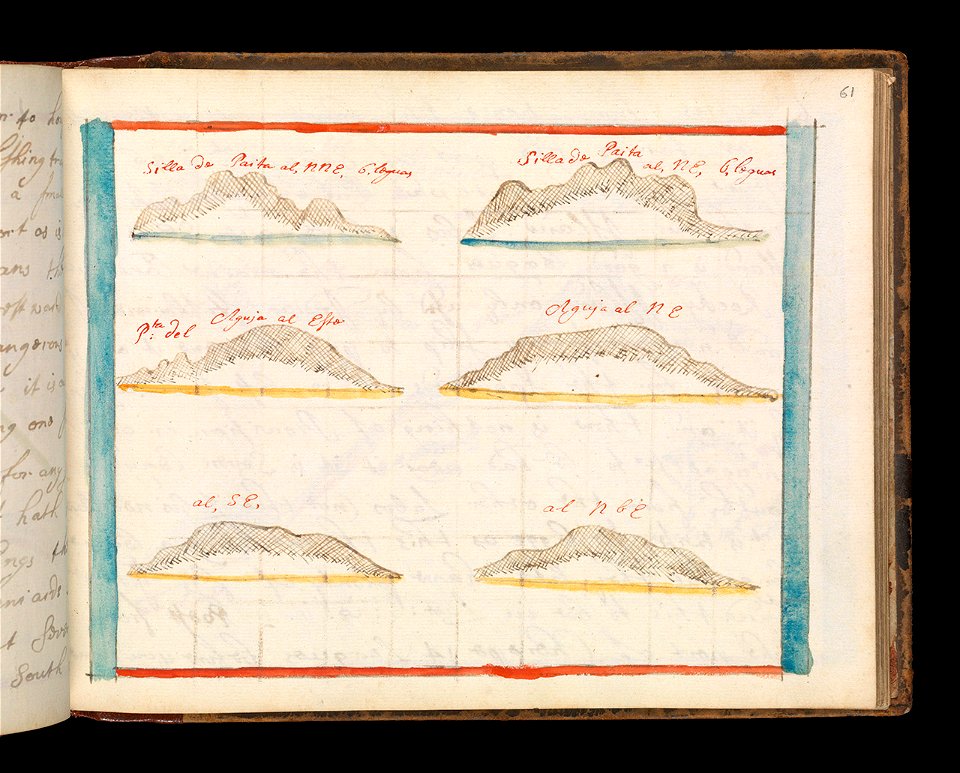
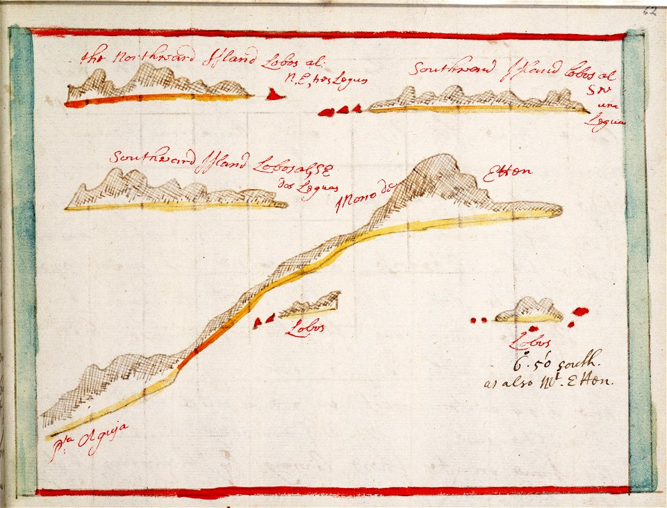
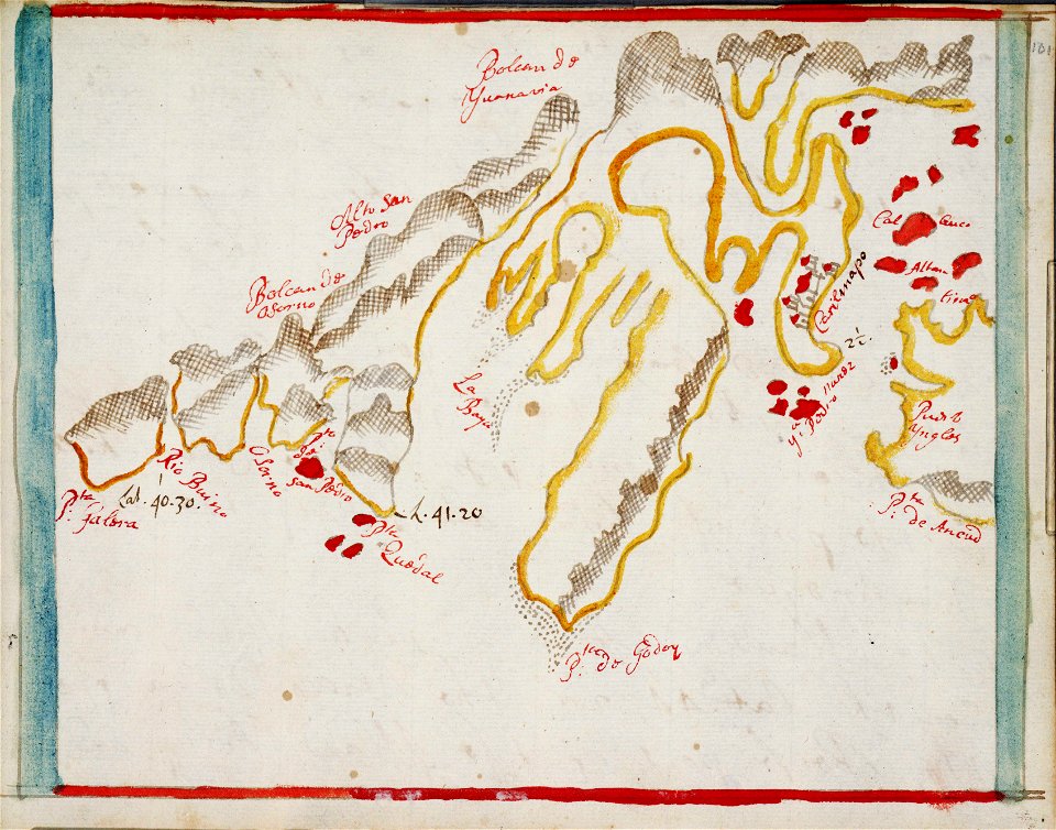
charts and maps of the royal museums greenwich
maps made in the 17th century
maps by pieter schenk (i)
massachusetts
o. h. bailey
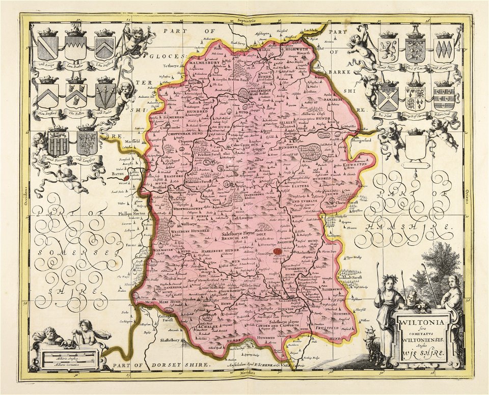
gerard valck
atlas van der hagen
fonds ancely - bibliothèque municipale de toulouse - maps
atlantis magni tomus secundus (biblioteca comunale di trento)
charts and maps of the royal museums greenwich
1682 maps
massachusetts
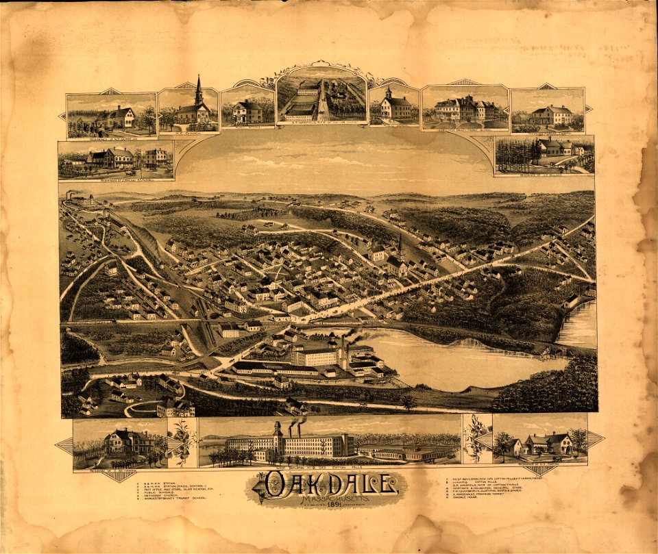
oakdale
charts and maps of the royal museums greenwich
1682 maps
charts and maps of the royal museums greenwich
1682 maps
massachusetts
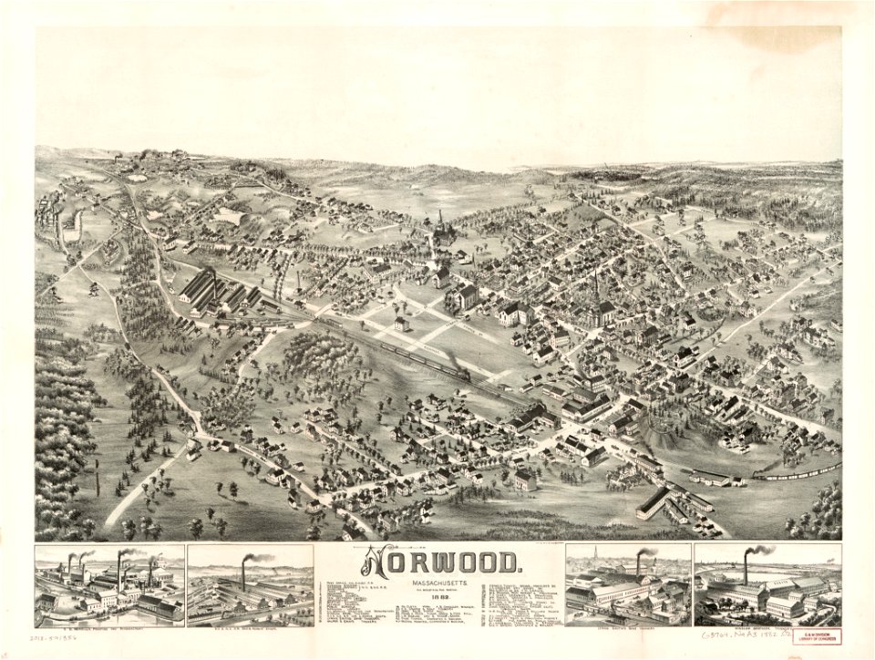
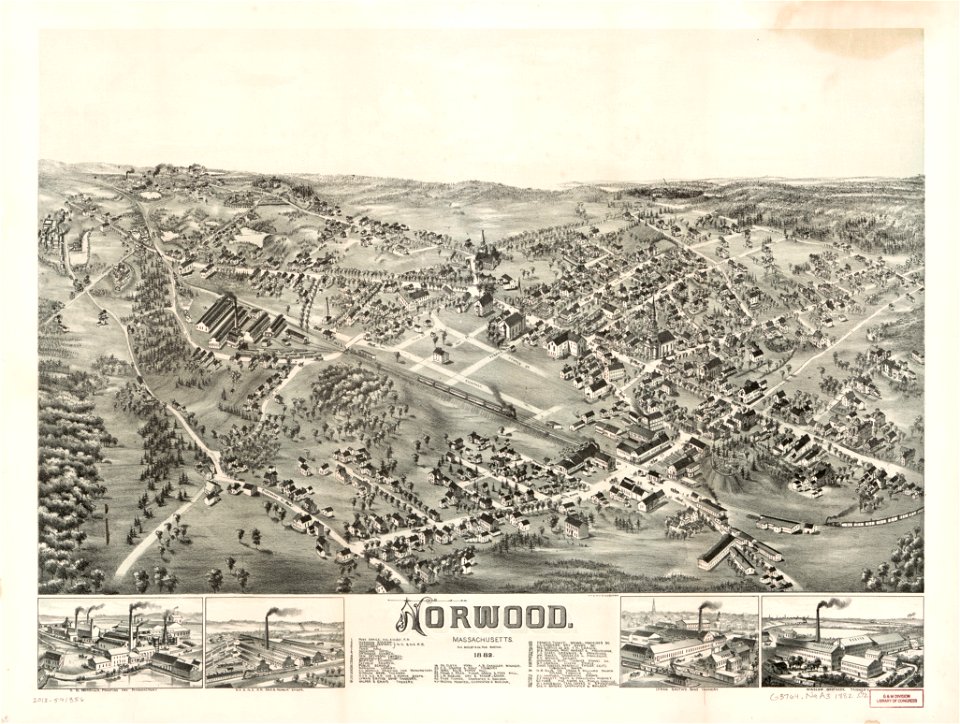
norwood
massachusetts
norwood
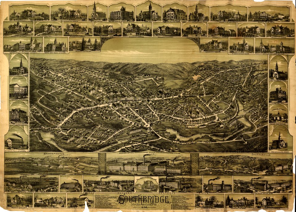
massachusetts
southbridge
maps of world war i by the daily telegraph
pictorial maps
compass rose
images from the new york public library
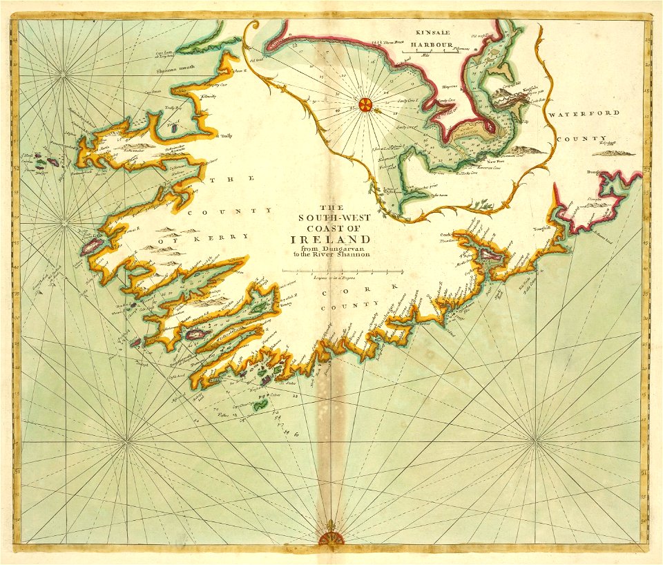
old maps of ireland
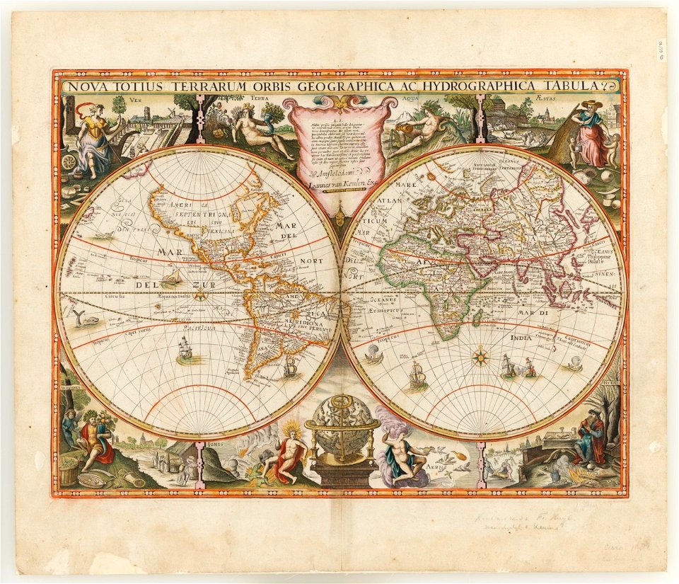
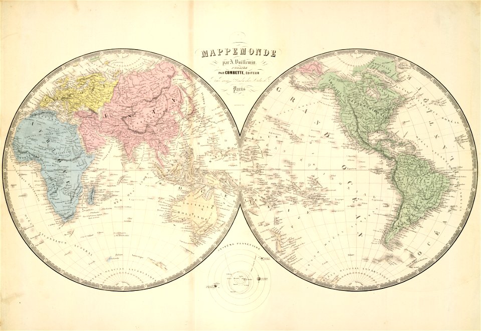
double hemisphere world maps
johannes van keulen
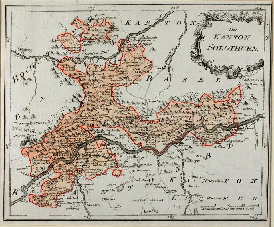
historical images of solothurn
old maps of switzerland
claudio monteverdi
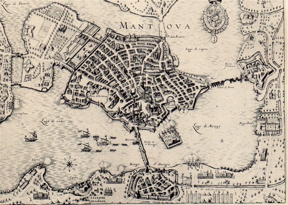
history of mantua
maps in the library of congress
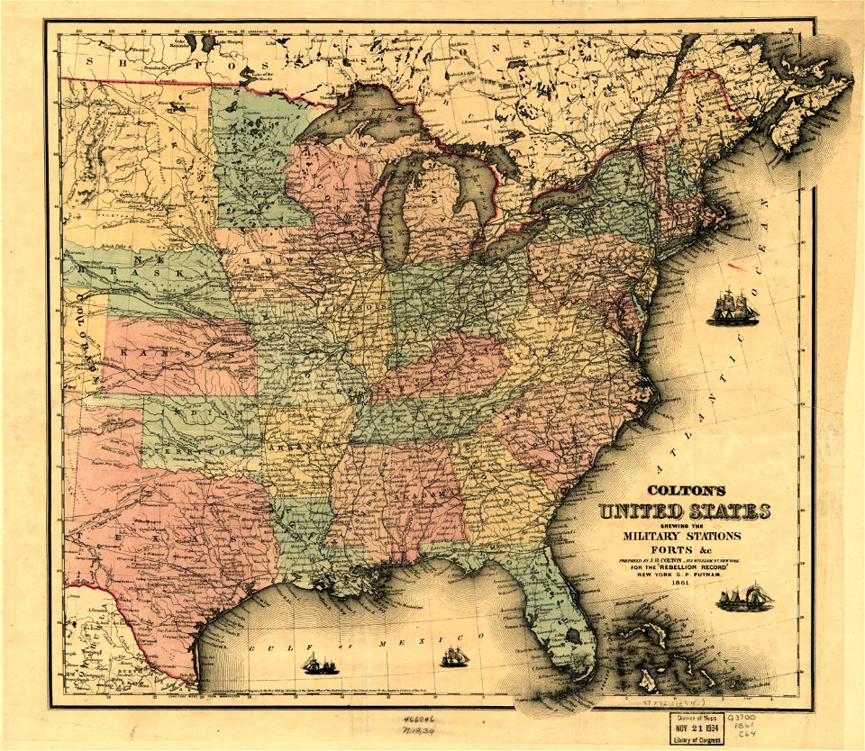
1861 maps
maps in the library of congress
1861 maps
charts and maps of the royal museums greenwich
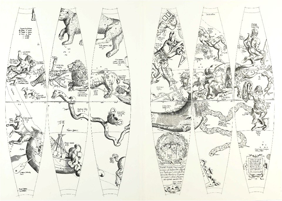
maps composed of gores
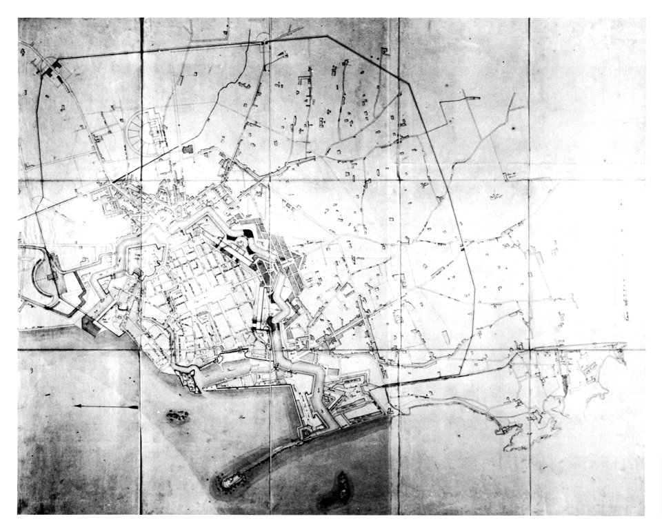
old maps of livorno
luigi cambray digny
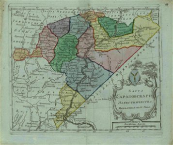
small atlas of the russian empire (1796)
old maps of saratov governorate
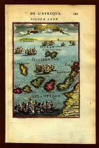
old maps of the canary islands
description de l'universe
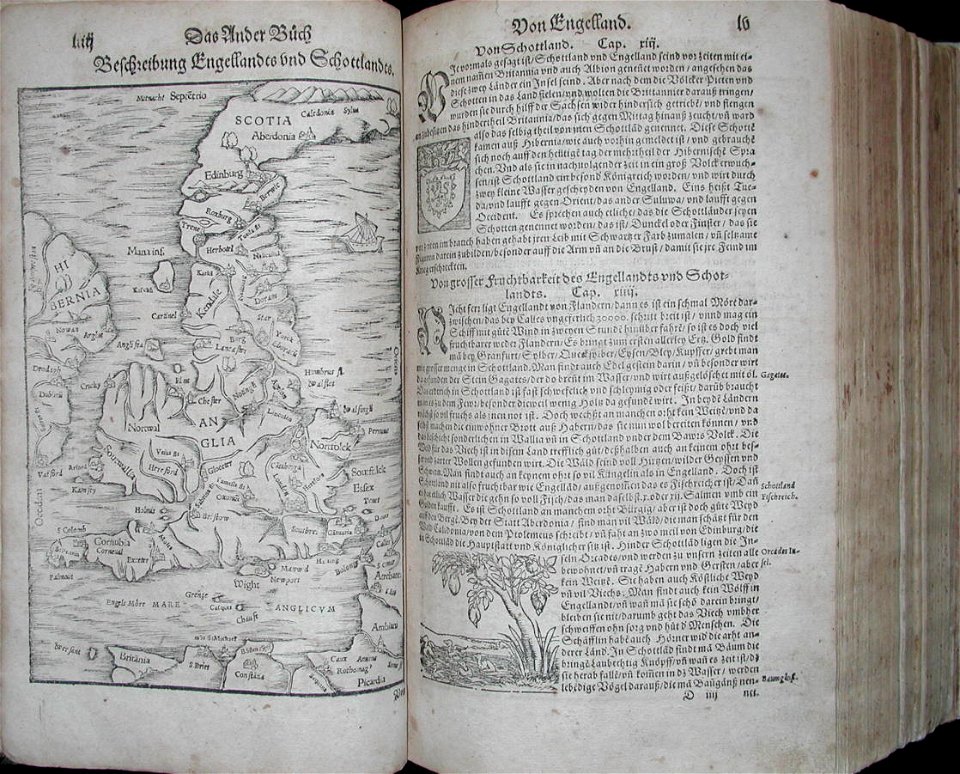
illustrations of cosmographia (münster)
old maps of the british isles
small atlas of the russian empire (1796)
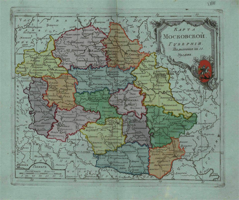
old maps of moscow governorate
charts and maps of the royal museums greenwich
1572 maps
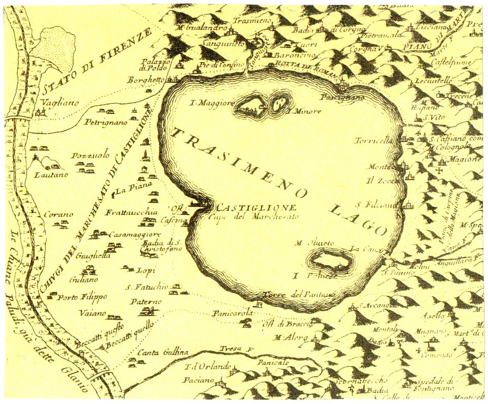
historical images of castiglione del lago
old maps of umbria
maps in the library of congress
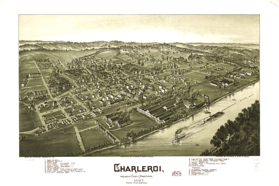
charleroi historic district
charts and maps of the royal museums greenwich
maps composed of gores
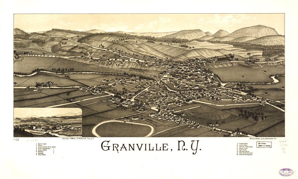
granville
new york
charts and maps of the royal museums greenwich
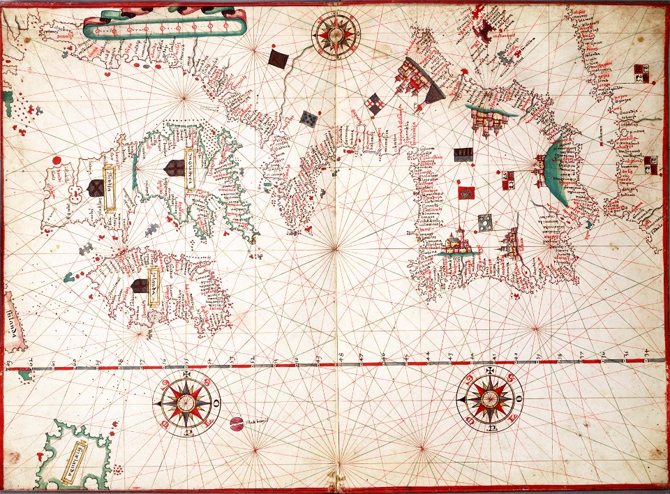
old maps of the aegean sea
1680s maps of baden-württemberg
1681 maps
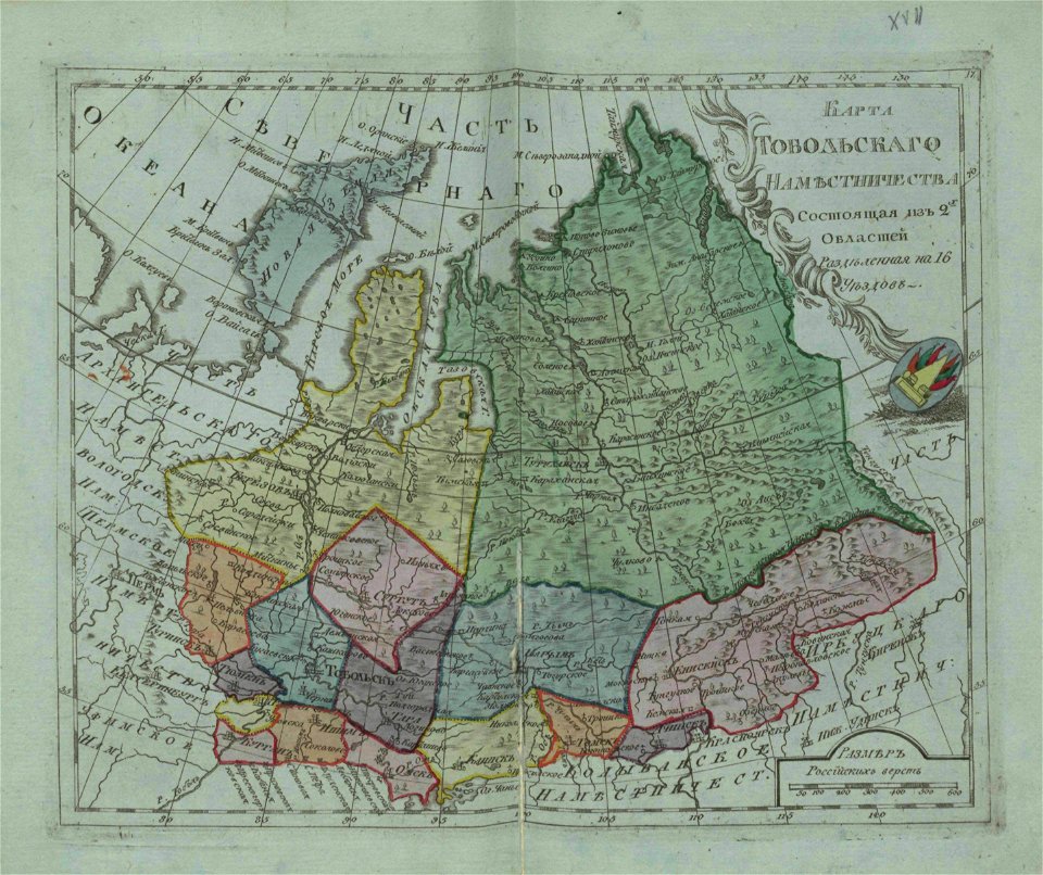
small atlas of the russian empire (1796)
old maps of tobolsk governorate
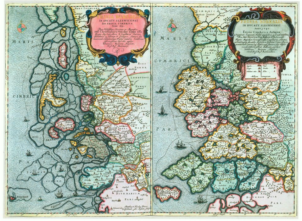
maps by johannes mejer
kreis nordfriesland
moluccan
1614
background
maps
église sainte-marguerite (paris)
rue de charonne (paris)
maps in utrecht university library
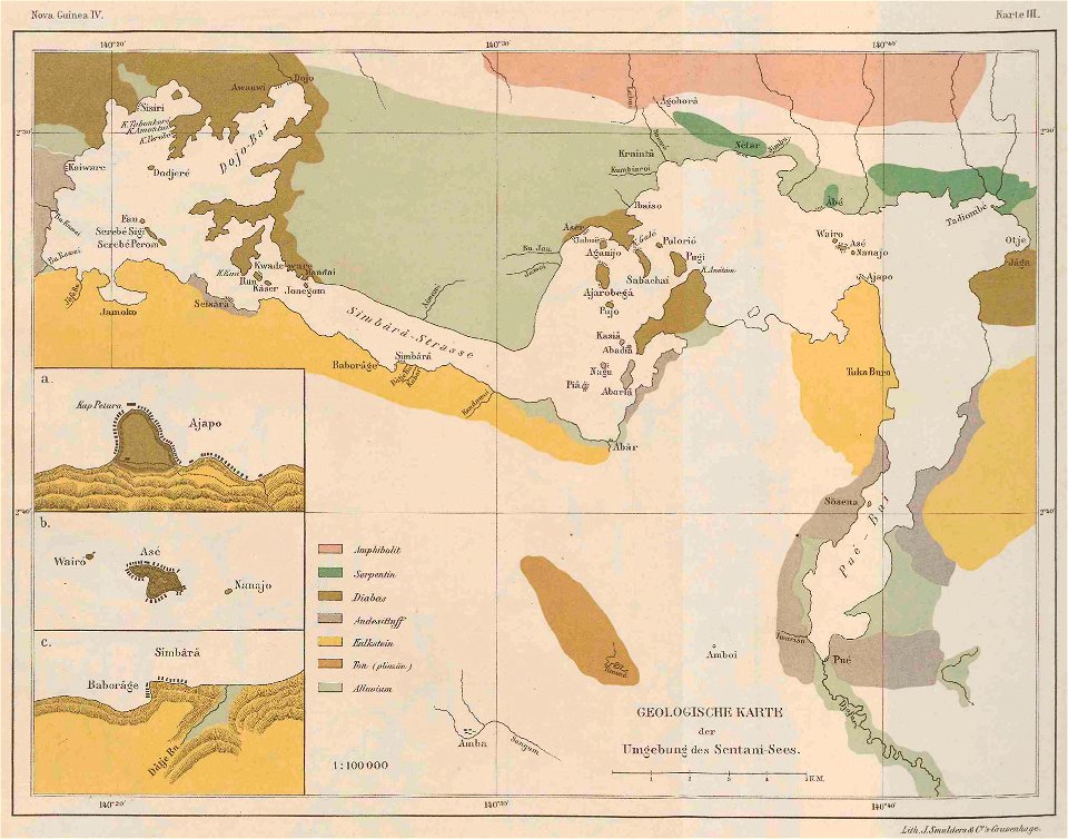
lake sentani
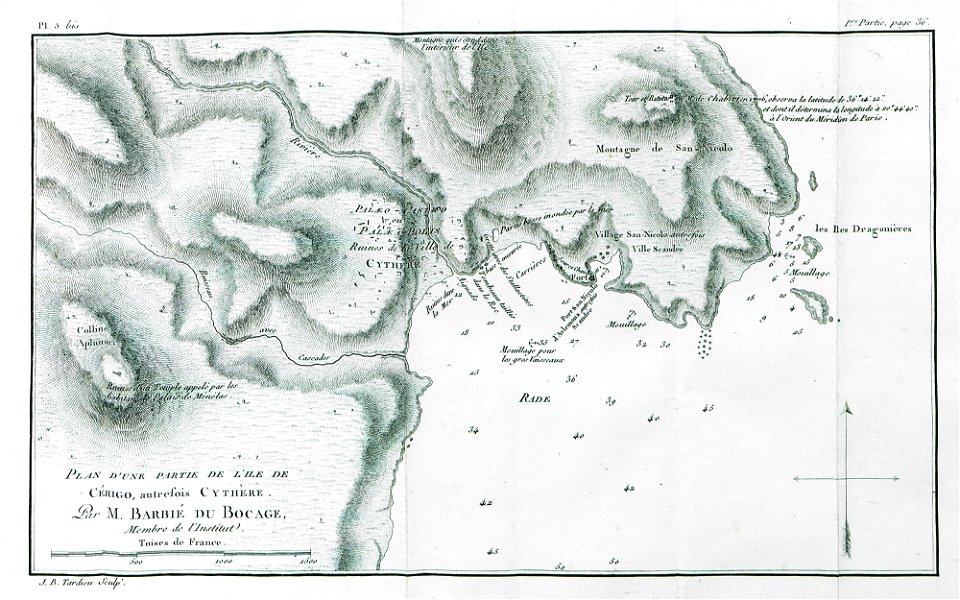
historical images of the ionian islands
avlemonas
double hemisphere world maps
old maps of the world
maps made in the 17th century
gerard valck
maps made in the 17th century
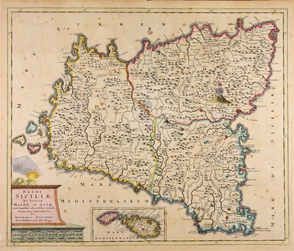
old maps of malta
atlantis magni tomus secundus (biblioteca comunale di trento)
maps made in the 17th century
maps with cartouches
atlas van der hagen
17th-century maps of france
maps with cartouches
maps with cartouches
atlas van der hagen
maps made in the 17th century
gerard valck
maps in the library of congress
1867 maps
maps from the mechanical curator collection
1899 books
french-language maps of china
old maps of fujian
maps made in the 17th century
gerard valck
ocean
maps
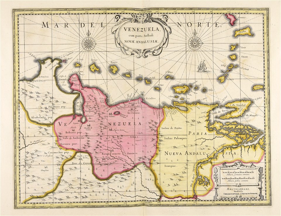
old maps of venezuela
gerard valck
maps in the library of congress
1720 maps
maps made in the 18th century
old maps of flanders
maps made in the 18th century
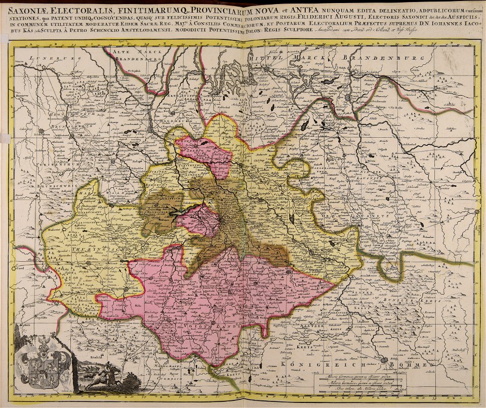
old maps of saxony
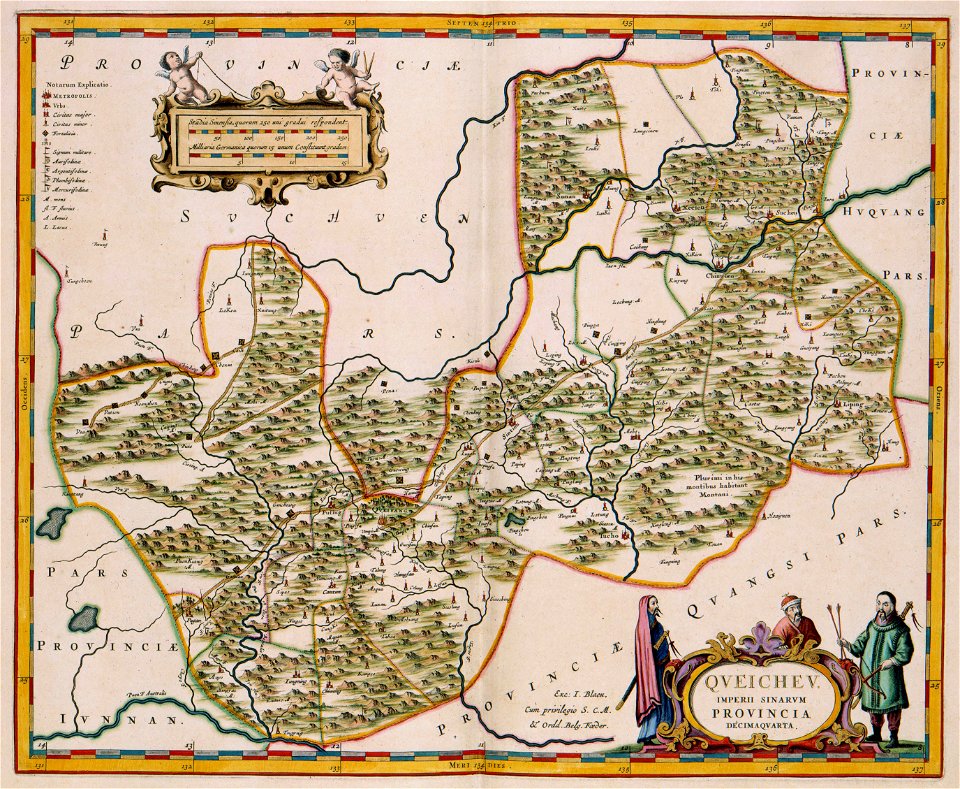
17th-century maps of china
guizhou
old maps of hesdin
old maps of france
fonds ancely - bibliothèque municipale de toulouse - maps
frédéric-auguste laguillermie
fonds ancely - bibliothèque municipale de toulouse - maps
coats of arms of cities in cher
fonds ancely - bibliothèque municipale de toulouse - maps
jean bart
maps made in the 17th century
gerard valck
maps in the library of congress
old maps of new england
maps
usa
small atlas of the russian empire (1792)
maps of vologda governorate
old maps of governorates of the russian empire
small atlas of the russian empire (1792)
maps in london labour and the london poor (1851)
maps by willem and johannes blaeu
old maps of malta
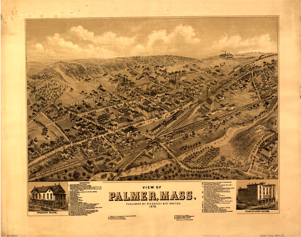
massachusetts
palmer
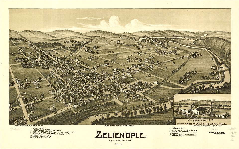
maps in the library of congress
pennsylvania
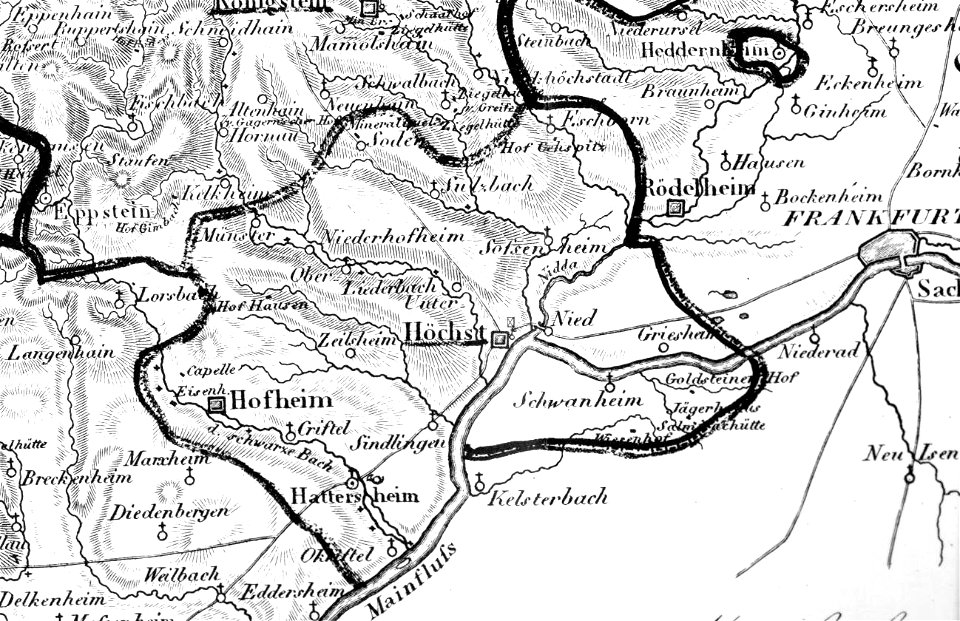
map „das herzogthum nassau“ by j.b. fischer
1828
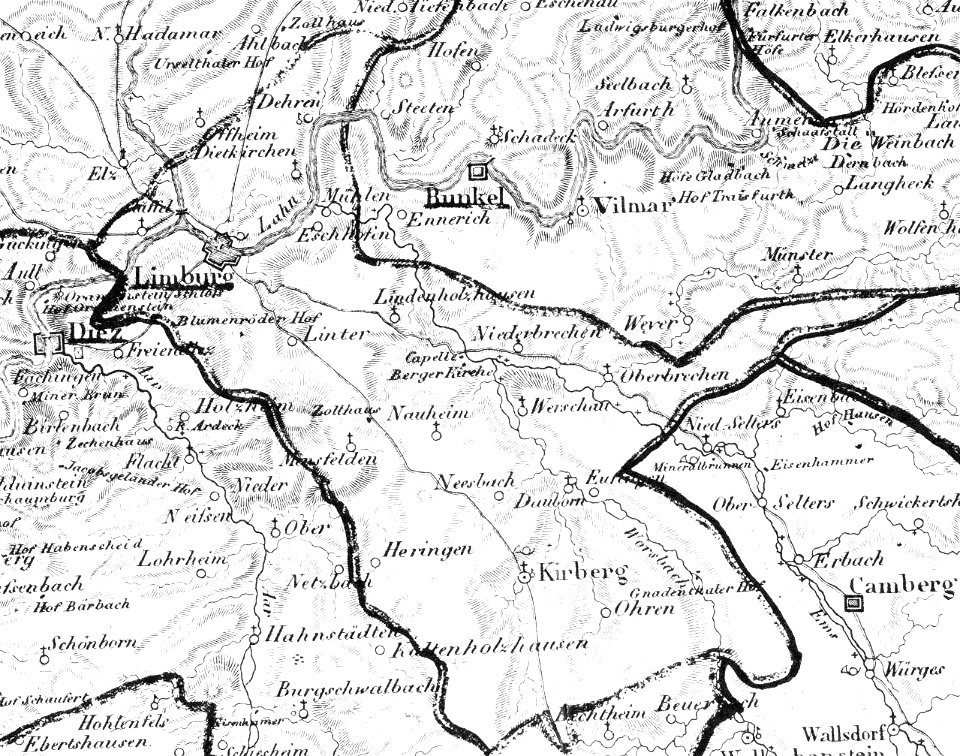
map „das herzogthum nassau“ by j.b. fischer
1828
pennsylvania
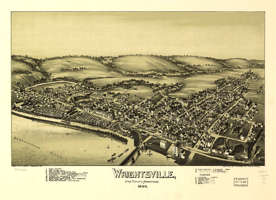
wrightsville
maps in russian state archives of ancient documents
historical images of viciebsk
württembergische flurkarte 1:2.500
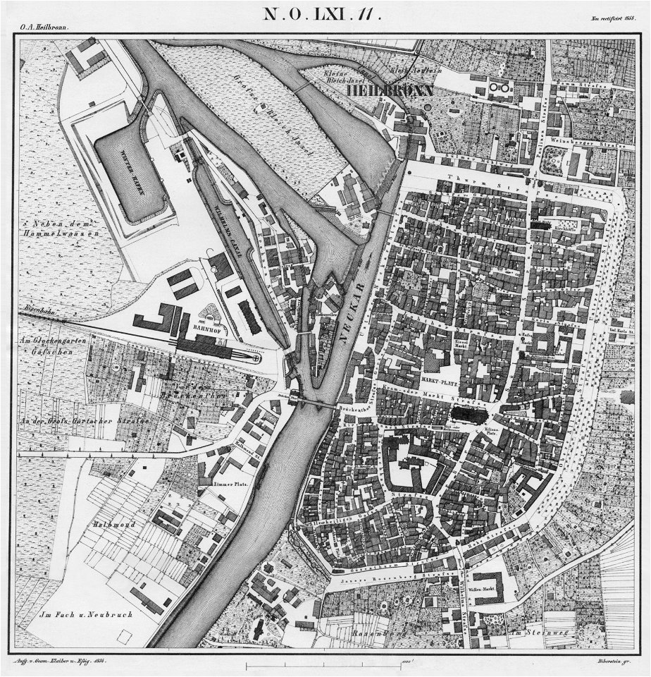
heilbronn
west virginia
morgantown
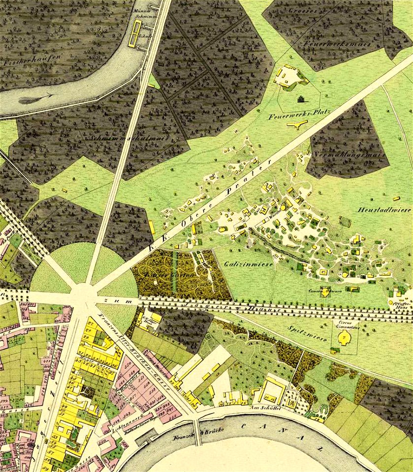
details of 1830 vienna map series by carl graf vasquez
fahnenstangenwasser
details of 1830 vienna map series by carl graf vasquez
stuwerviertel
pennsylvania
sheffield
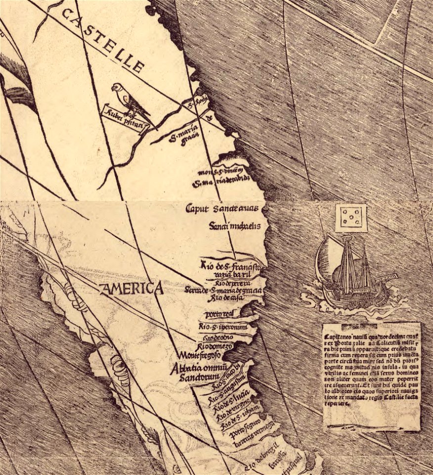
waldseemüller map
age of discovery
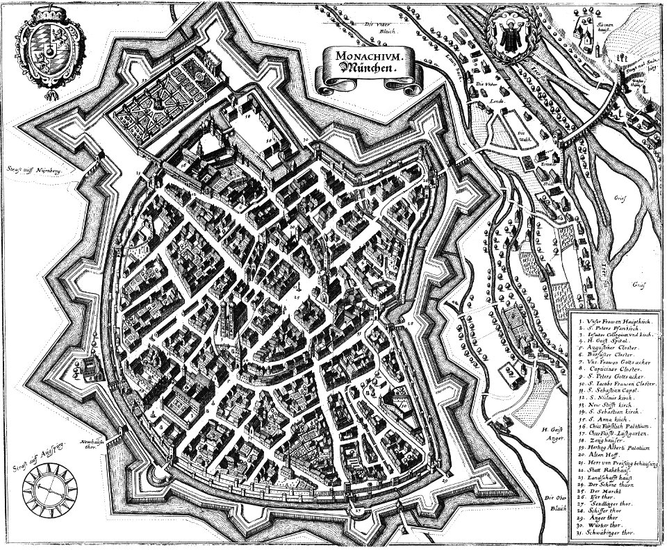
engravings by matthäus merian
engraved maps
charts and maps of the royal museums greenwich
1572 maps
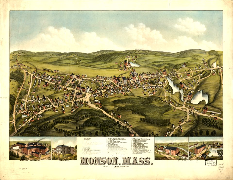
massachusetts
monson
engravings by matthäus merian
1649 maps
maps in the library of congress
west virginia
pictorial maps
thüringiae
new york
hadley
west virginia
salem
maps in the library of congress
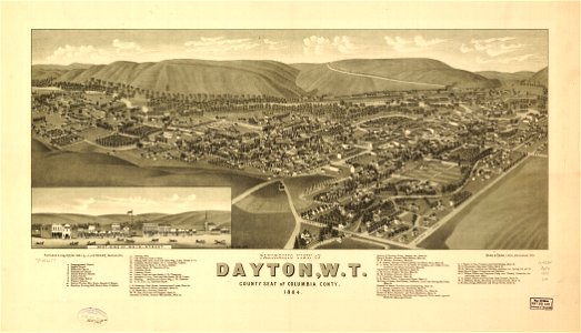
1884 maps
maps in the library of congress
1884 maps
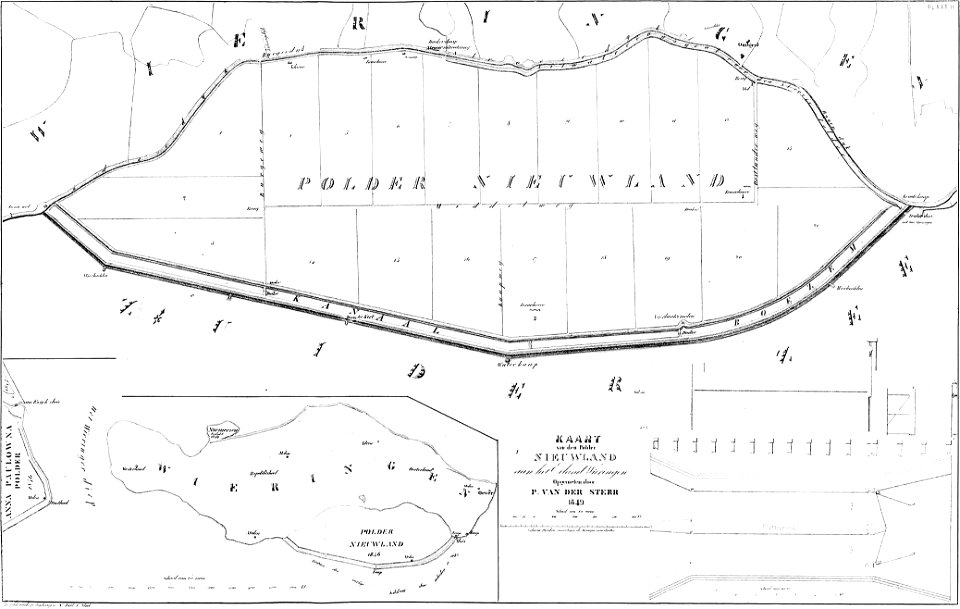
maps of polders in north holland
bouwkundige bijdragen
maps in the library of congress
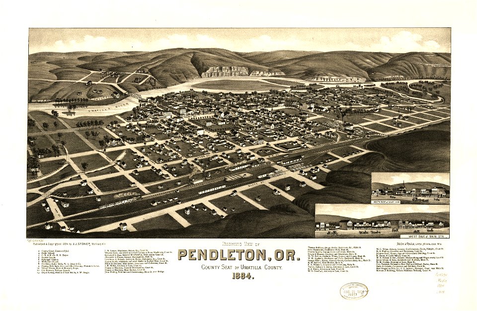
1884 maps of oregon
pennsylvania
sheffield
cosmographia claudii ptolomaei alexandrini
latin-language maps
west virginia
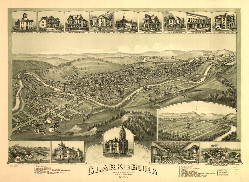
clarksburg
old maps of islands of the aegean sea
bartolommeo dalli sonetti
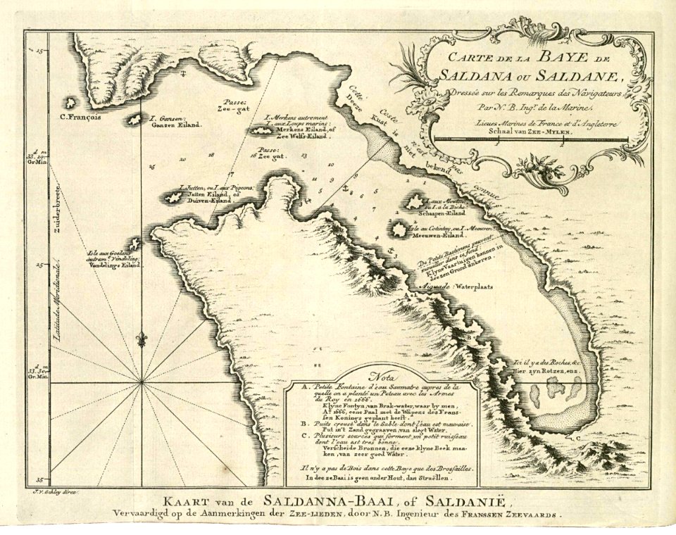
saldanha bay
1747)
maps of the west-indische compagnie
1746
maps of the west-indische compagnie
1772
trịnh lords
1732
maps of the dutch east india company - india
1680s
harvard university
pictorial maps
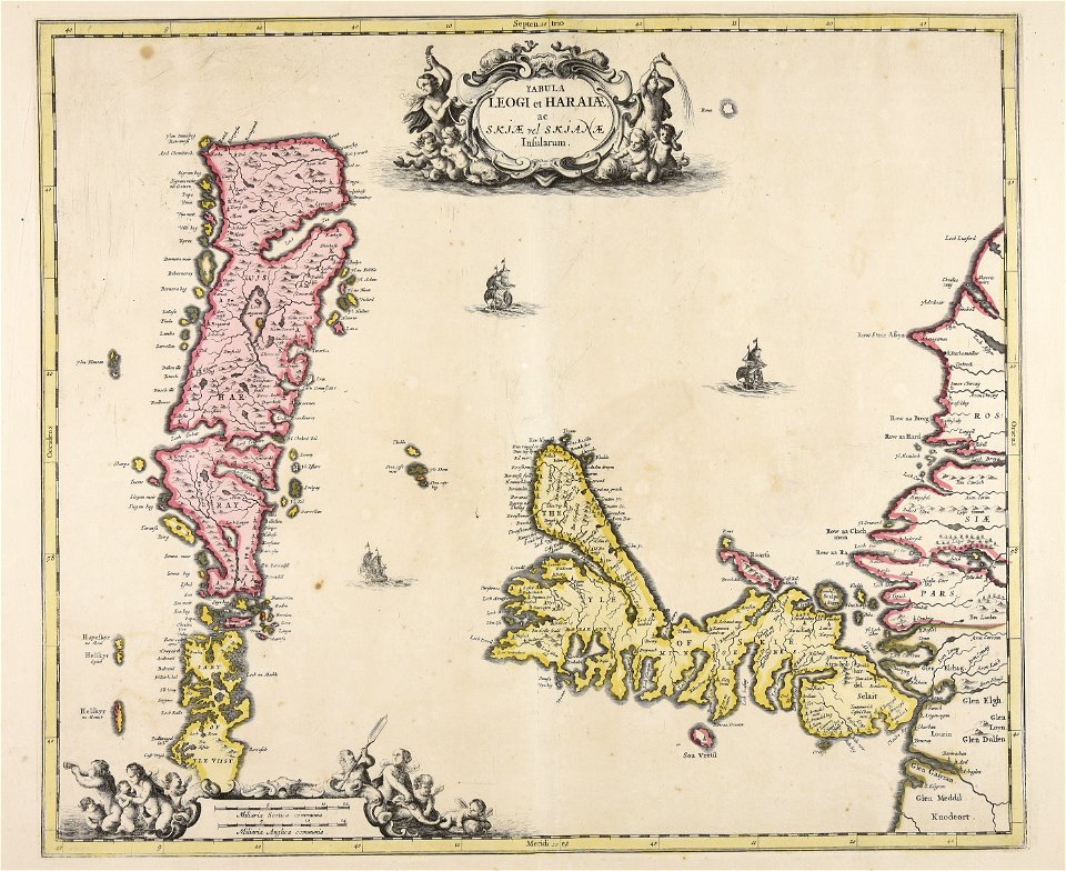
islands of scotland
maps of scotland
prints by giovanni battista piranesi
old maps of rome
8101 - 8200 of 357,572
Next page
/ 3576