En
Log in
All resources
Create a design
Tools
357,572 Free Images of Map
maps
atlas de wit 1698
frederick de wit
countries
geography
border
world
flag
national
svg
atlas de wit 1698
frederick de wit
old maps of breda
frederick de wit
atlas de wit 1698
frederick de wit
harper's magazine posters
1895
charts and maps of the royal museums greenwich
charts and maps of the royal museums greenwich
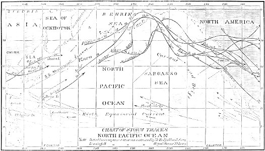
atmospheric circulation
1880 maps
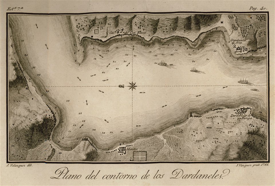
en el año de 1784 (1790)
viage á constantinopla
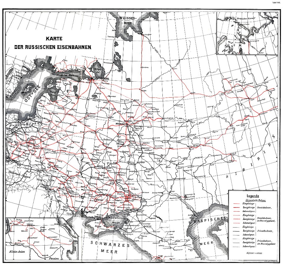
enzyklopädie des eisenbahnwesens
1912 in russia
military map symbols for units and formations/medical centre
self-published work
svg flag maps of spain
self-published work
military map symbols for units and formations/infantry
self-published work
school
maps
pages with maps
pd-user
death
game
countries
maps
the cossacks
kuban
maps
flag
maps
flag
maps
flag
maps
flag
maps
flag
earth
globe
destination
travel
geographical illustrations by coronelli
3 fleurs-de-lis or in heraldry
american paintings in the cincinnati art museum
frederic remington
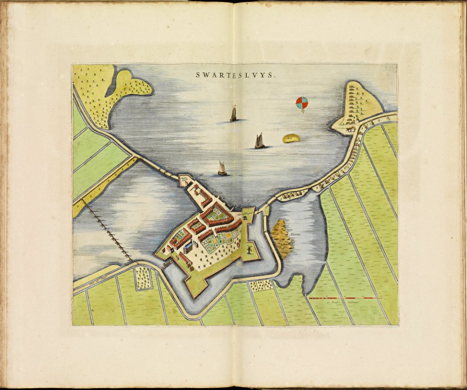
atlas de wit 1698
frederick de wit
atlas de wit 1698
frederick de wit
old maps of amersfoort
atlas de wit 1698
atlas de wit 1698
frederick de wit
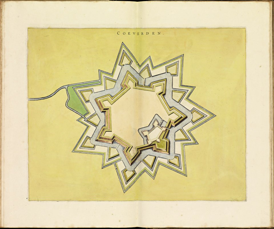
old maps of coevorden
frederick de wit
atlas de wit 1698
frederick de wit
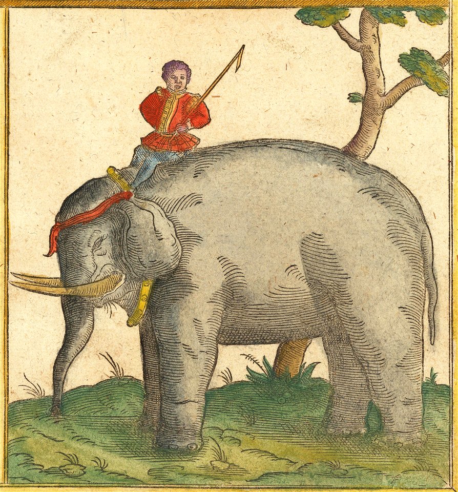
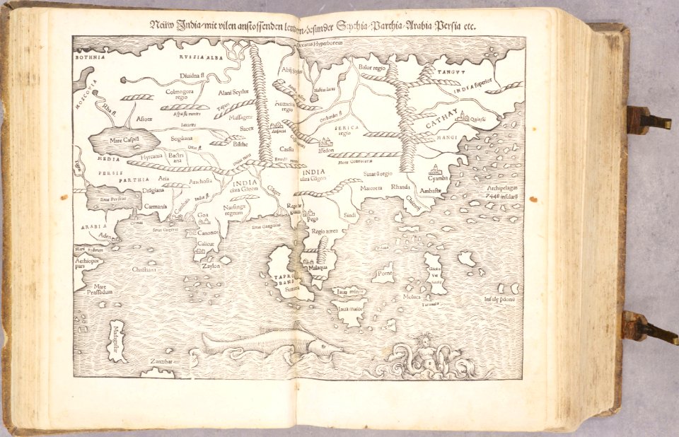
maps by sebastian münster
elephants in art
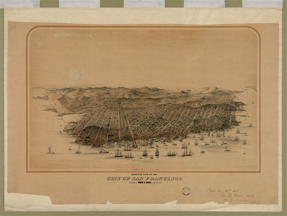
bird's eye view maps of california
san francisco in art
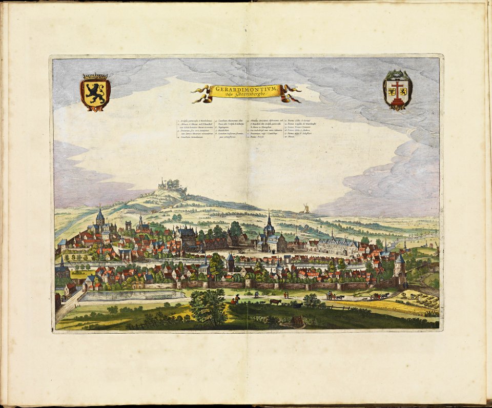
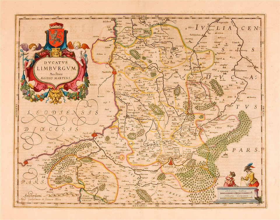
maps by willem and johannes blaeu
joan blaeu
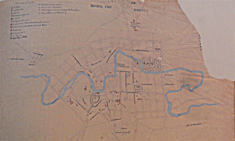
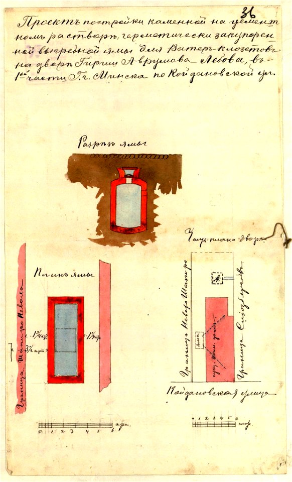
historical images of minsk
minsk in the 19th century
historical images of minsk
minsk
spain in the 1720s
nicolas de fer
geographical illustrations by coronelli
old maps of the peloponnese
cosmographia claudii ptolomaei alexandrini
age of discovery
prints from the peace palace library
maps of hondarribia
media in the houghton library
harvard university
historic views of hamburg
staatsarchiv hamburg
snippets of philipp apian's bairische landtafeln
old maps of bavaria
and its vicinity (1804)
the topography of troy
apocalypse of st. sever
saint-sever beatus
drawings (documentary) collection in the library of congress
drawings by alfred waud
travels and adventures in all parts of the globe (1870)
all round the world: an illustrated record of voyages
volume 8 of le tour du monde
old maps of south africa
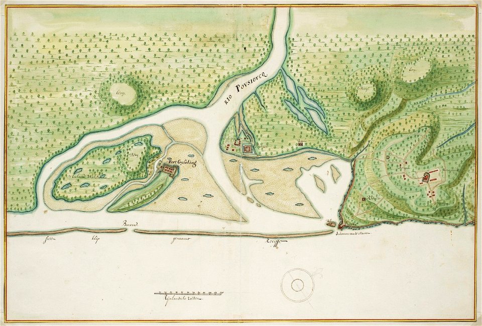
old maps of dutch brazil
johannes vingboons
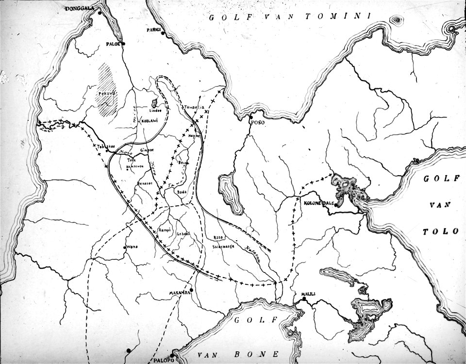
walter kaudern expedition to celebes
maps of central sulawesi
geographical illustrations by coronelli
maps of monemvasia
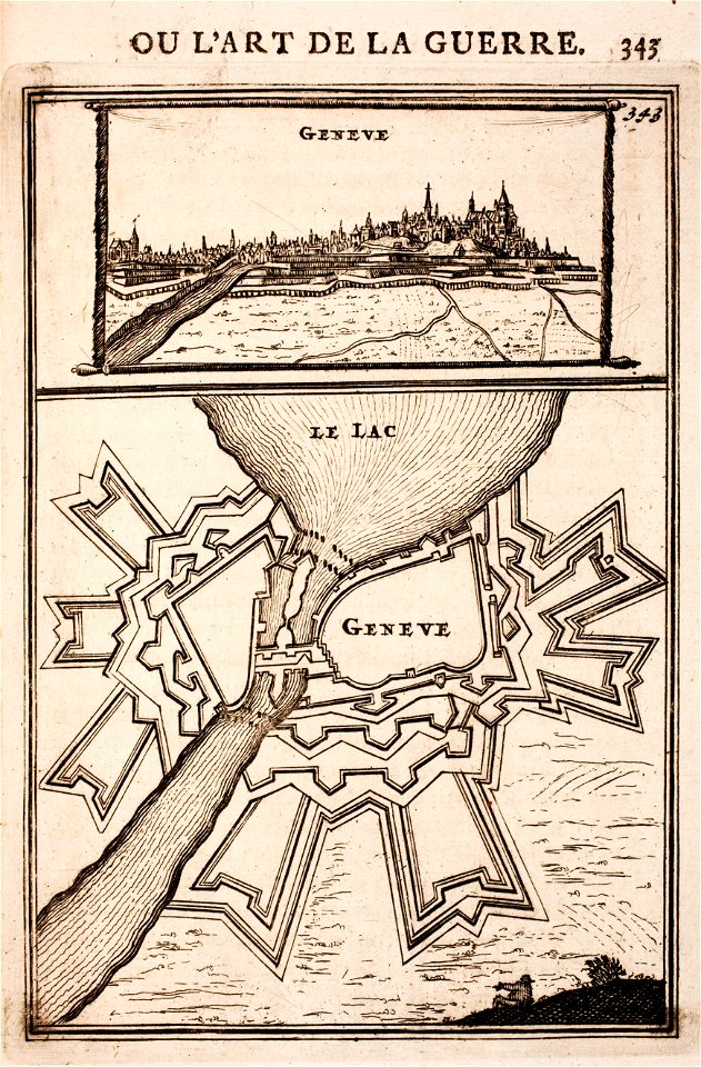
history of geneva
maps of geneva
drawings by leonardo da vinci in the royal collection of the united kingdom
atmospheric circulation
1880 maps
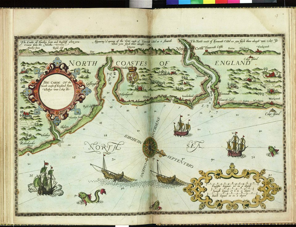
charts and maps of the royal museums greenwich
lucas janszoon waghenaer
images from bristol past and present (1882)
clifton (bristol ward)
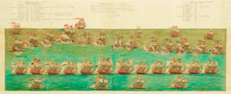
history of the french navy
history of the royal navy
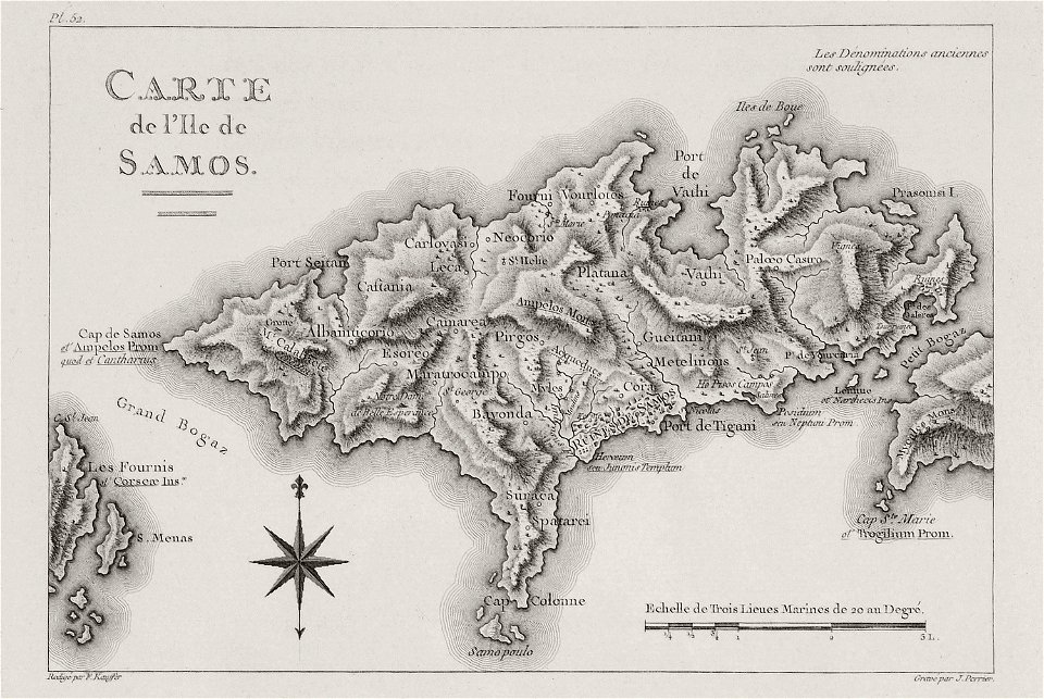
voyage pittoresque de la grèce
maps of samos
18th-century maps of the mediterranean sea
history of the mediterranean
harper's magazine posters
1895
swans in 16th-century art
maps by gerardus mercator
prints from dankaerts historis at the peace palace library
old maps of frankfurt am main
maps of the thirty years' war
burg eichelsheim
media from atlas of mutual heritage on dutch east india company
1736
voyage d'exploration en indo-chine - (1885
francis garnier
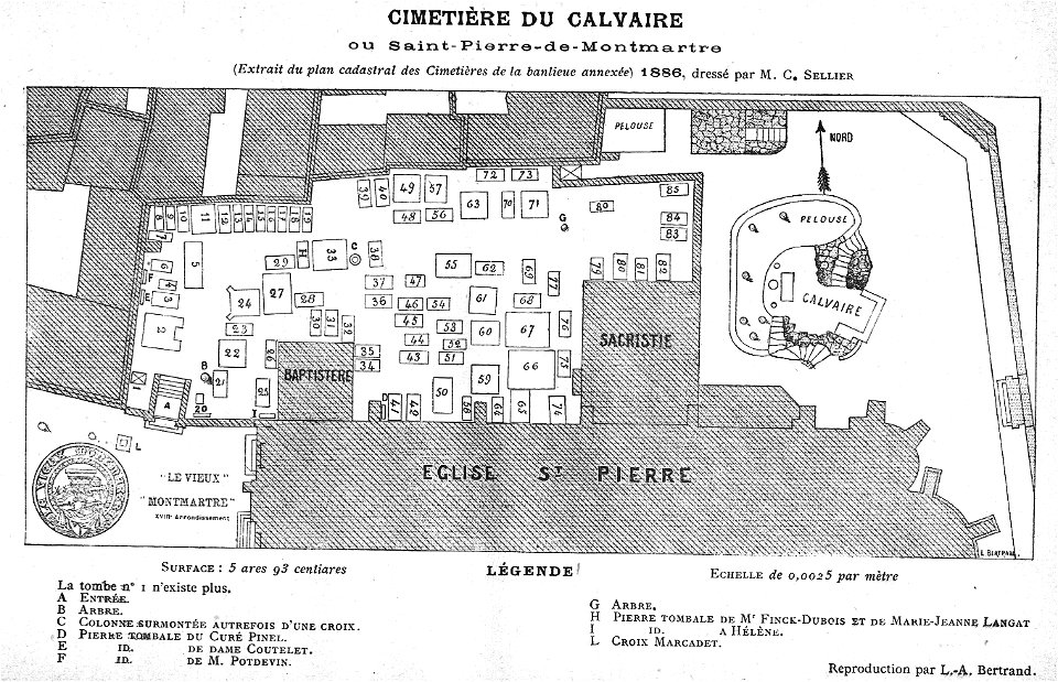
grave of lecuyer (saint-pierre-du-calvaire)
cimetière du calvaire
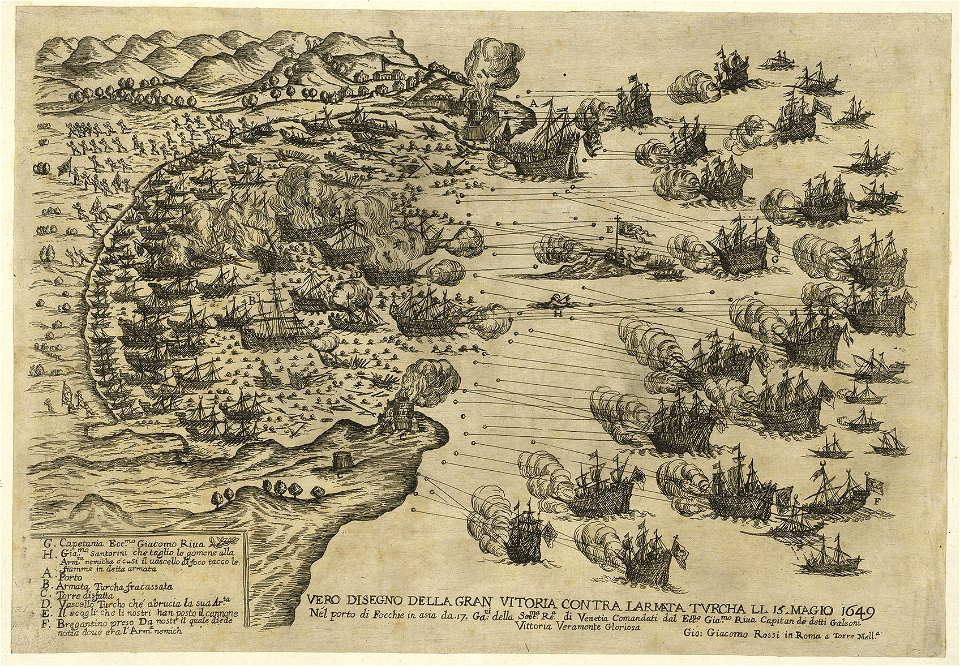
prints in the royal collection of the united kingdom
battles involving the united kingdom
works by giovanni giacomo de rossi
sailing ships of the netherlands
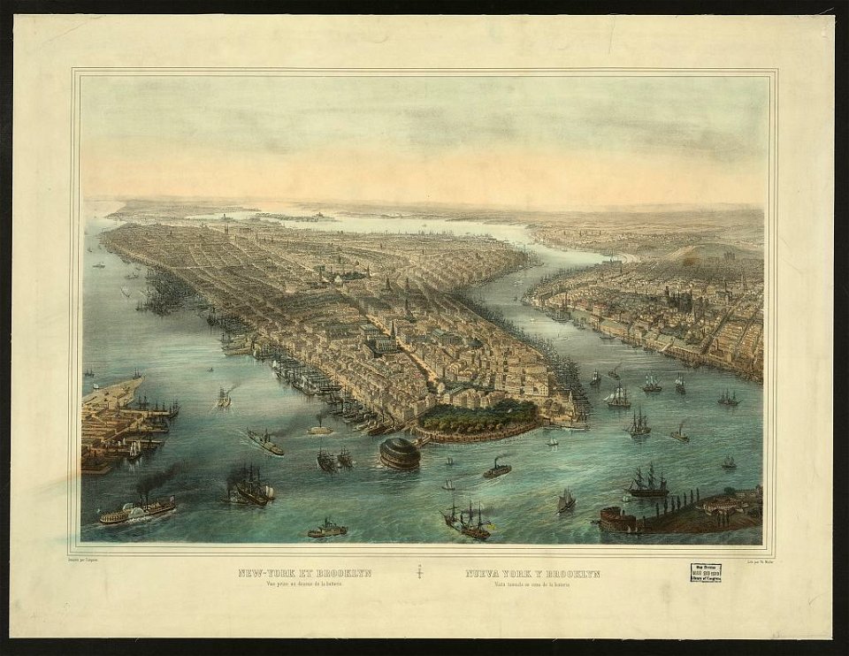
chromolithograph
currier and ives
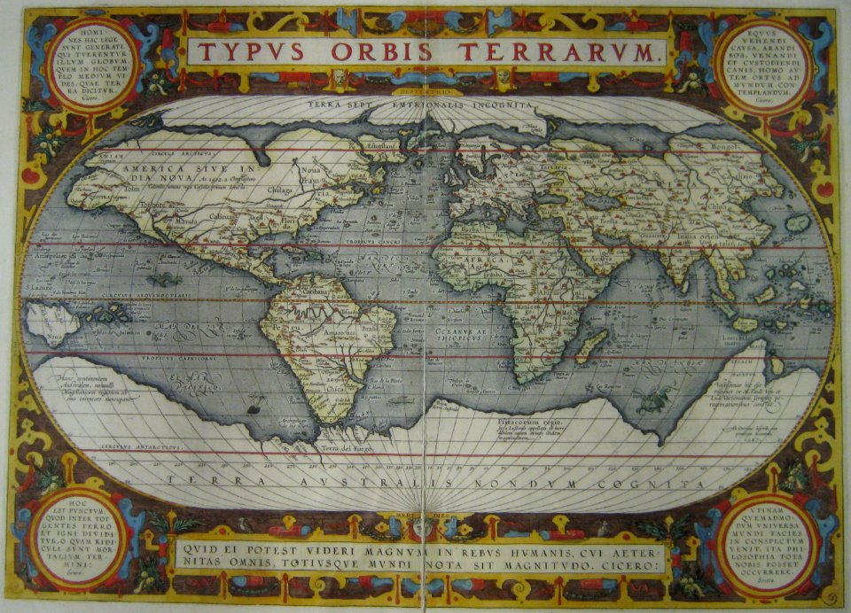
latin-language maps
terra incognita
antique
maps
maps
ball
background
maps
old maps of manila
1945 maps
river
roads
house
maps
background
maps
printing
maps
green
maps
maps
boys
maps
boys
maps
boys
maps
girl
black
maps
model
maps
maps
boys
magni ducatus lithuaniae
details of old maps
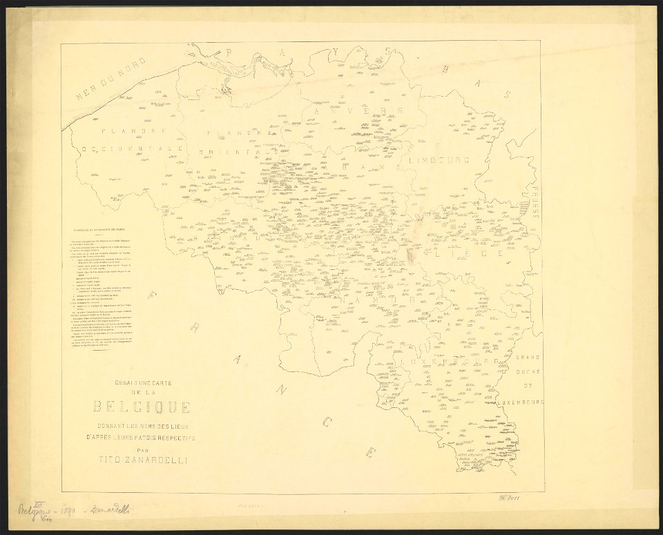
maps of belgium
old maps of vienna
giovanni camocio
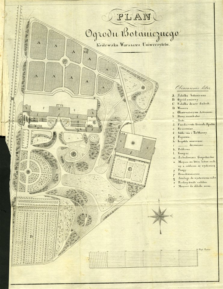
royal park in łazienki (warsaw)
historical maps of warsaw
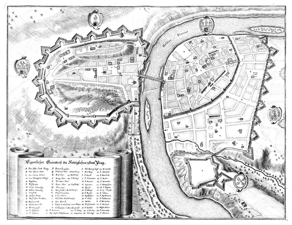
historical images of prague
old maps of prague
engravings by william miller
university of toronto wenceslas hollar digital collection
prints by wenzel hollar
prints & drawings in rhcl (maastricht)
18th-century maps of maastricht
map of maastricht by willem and johannes blaeu (1649)
tongersestraat (maastricht)
east river
hells gate
atmospheric circulation
1880 maps
maps by george h. walker and company
cosmographia - beschreibung aller lender durch sebastianum munsterum (1545)
1540s maps of asia
13601 - 13700 of 357,572
Next page
/ 3576