En
Log in
All resources
Create a design
Tools
357,572 Free Images of Map
atlas de wit 1698
ohio
maps in the library of congress
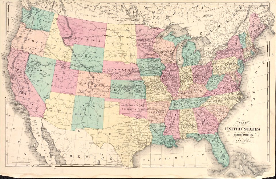
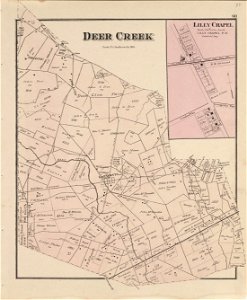
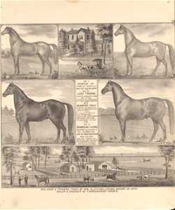
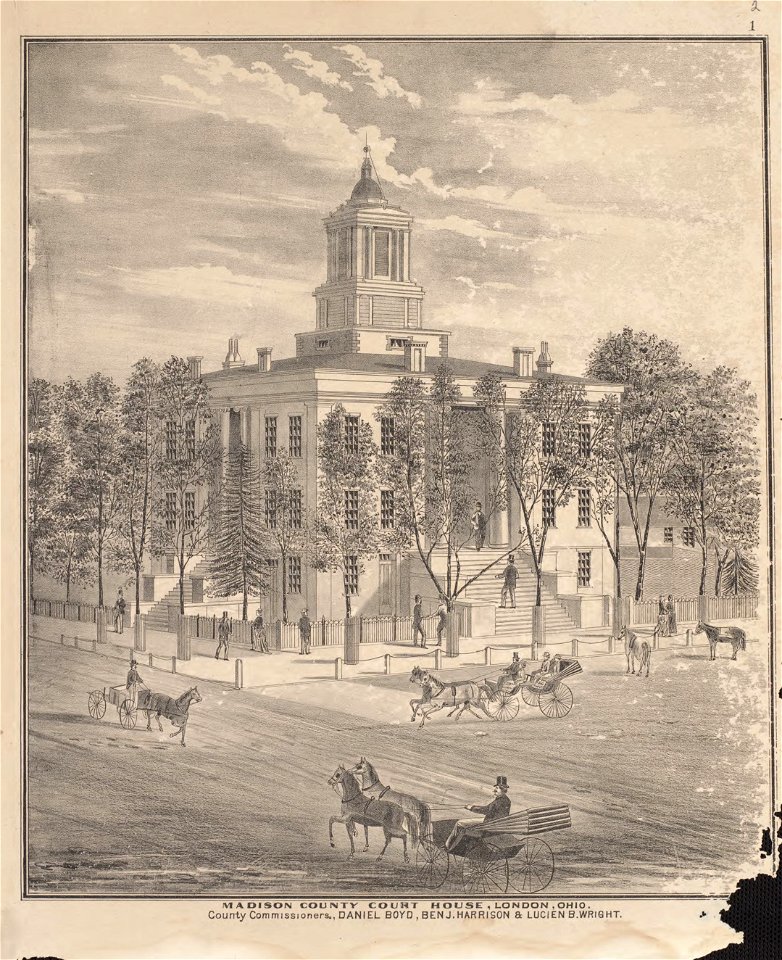
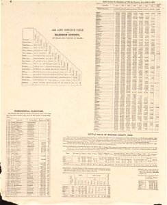
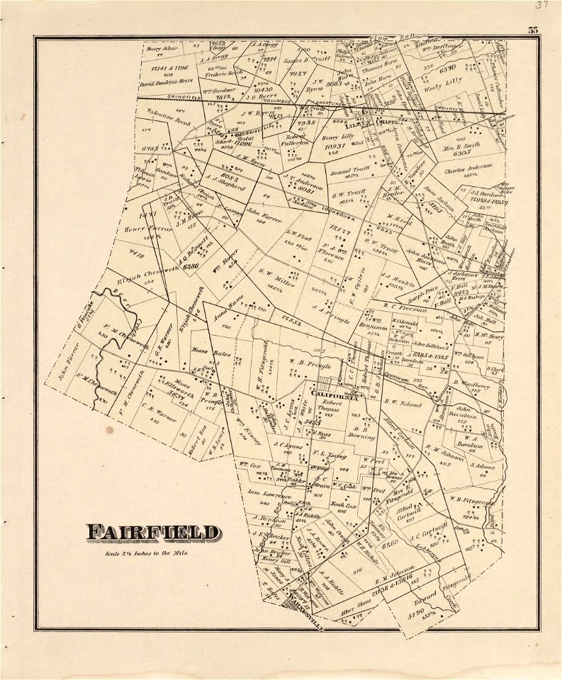
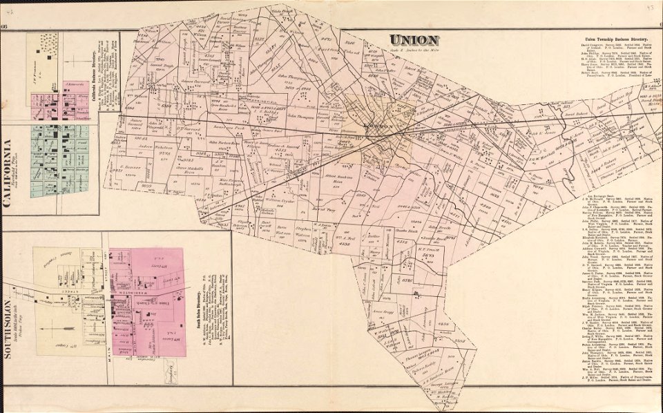
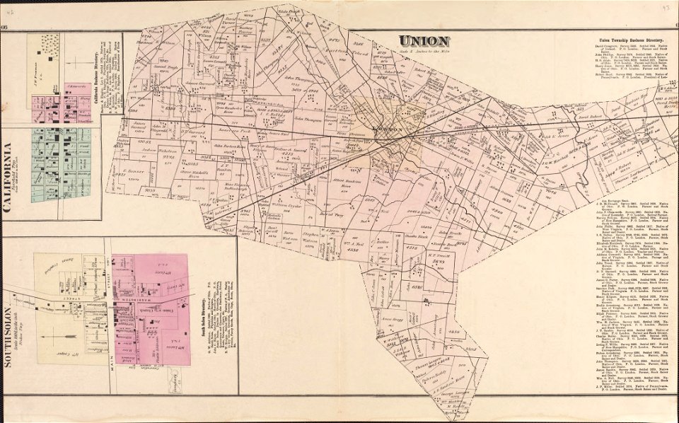
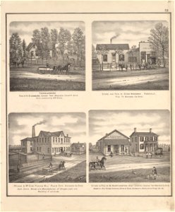
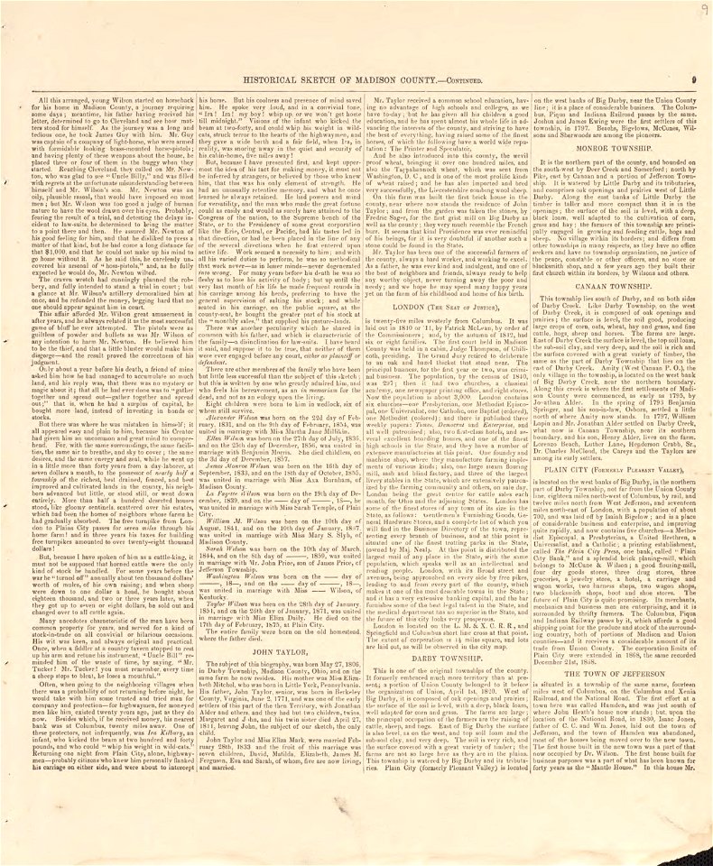
caldwell's atlas of madison co.
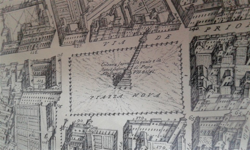
geographical illustrations by coronelli
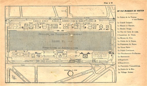
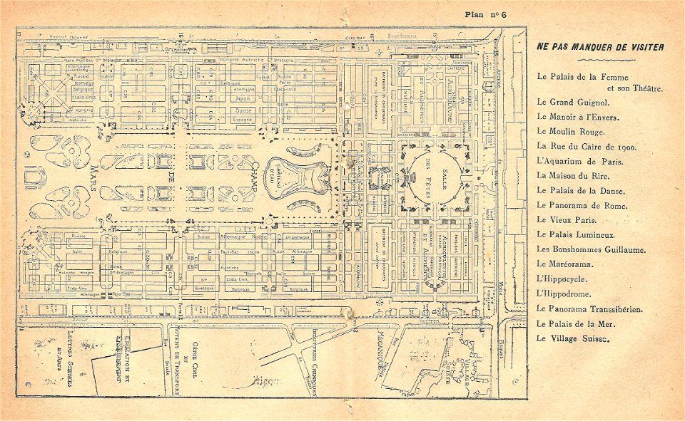
maps of the exposition universelle (1900)
illustrations du catalogue remboursable de l'expo 1900
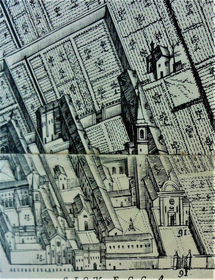
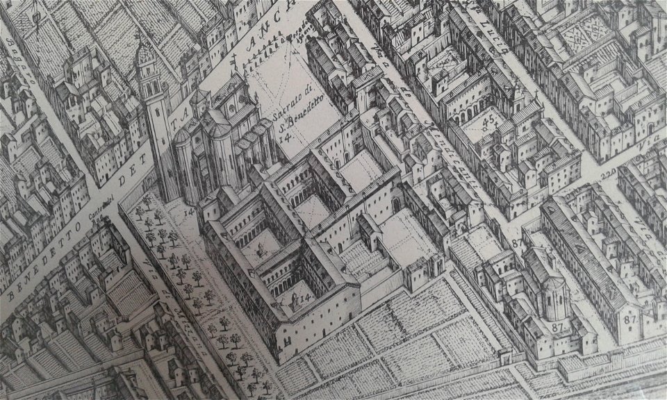
map of ferrara by andrea bolzoni
maps
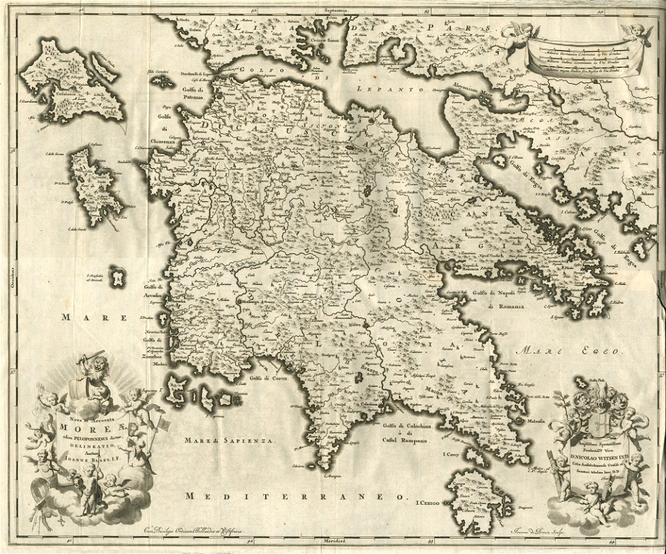
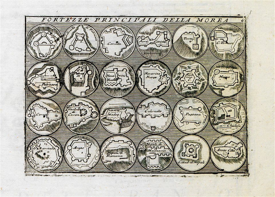
old maps of the peloponnese
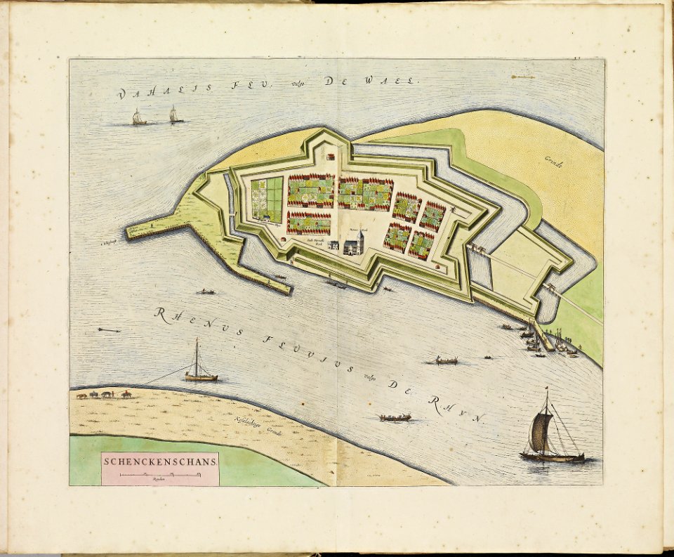
old maps of schenkenschans
atlas de wit 1698
old maps of dordrecht
atlas de wit 1698
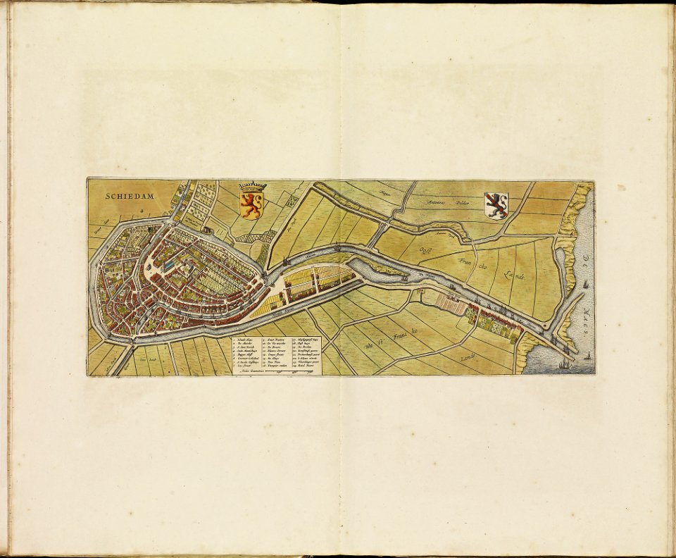
old maps of schiedam
atlas de wit 1698
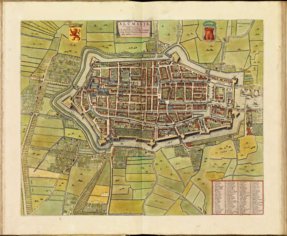
old maps of alkmaar
atlas de wit 1698
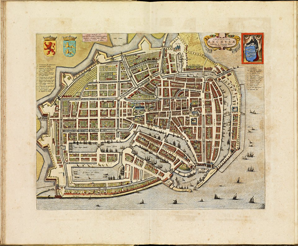
old maps of enkhuizen
atlas de wit 1698
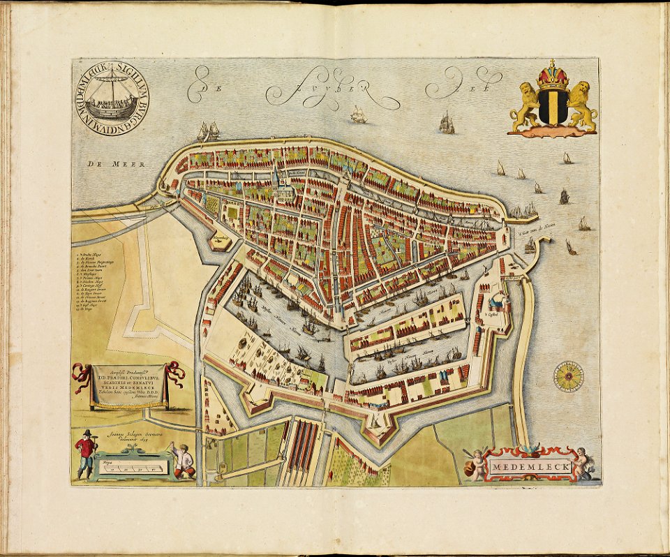
old maps of medemblik
atlas de wit 1698
old maps of monnickendam
atlas de wit 1698
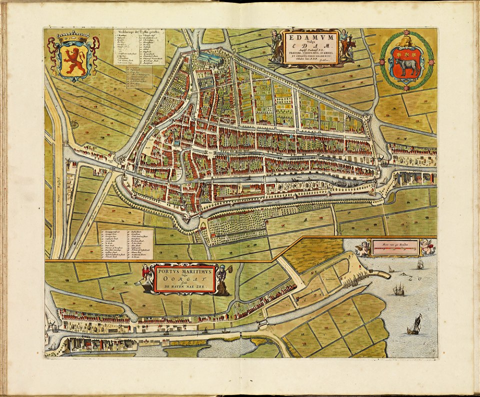
atlas de wit 1698
old maps of edam
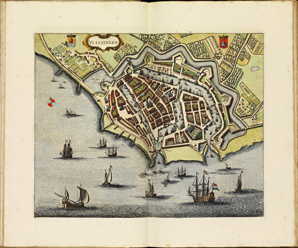
old maps of vlissingen
atlas de wit 1698
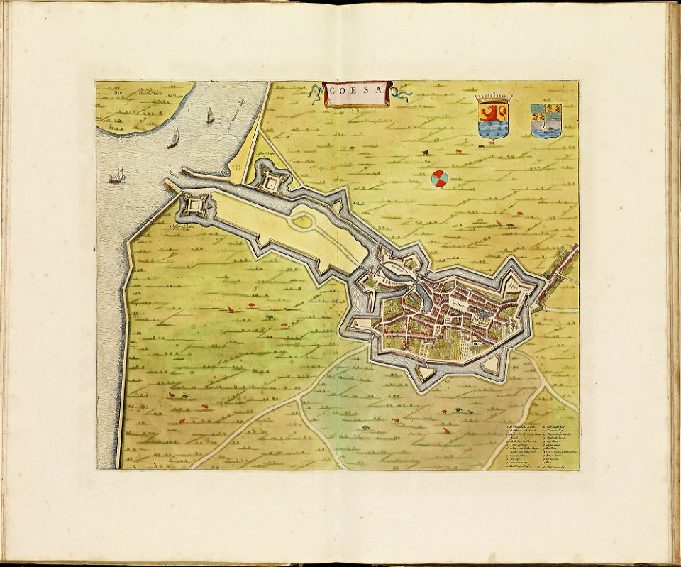
atlas de wit 1698
old maps of goes
old maps of oldenzaal
atlas de wit 1698
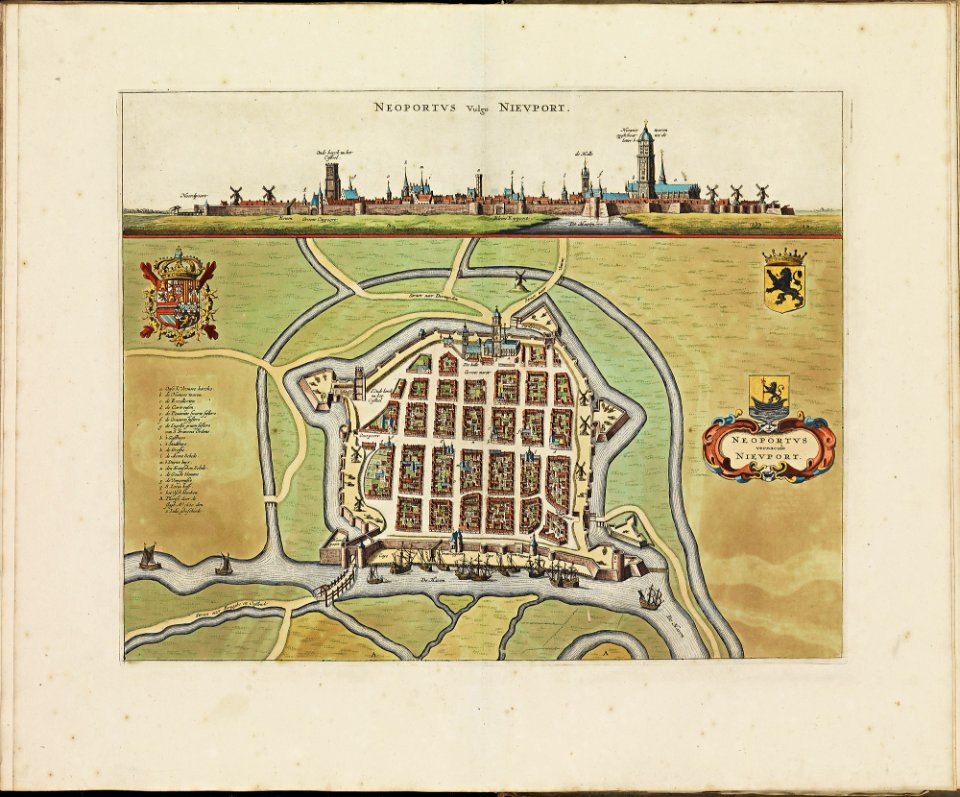
old maps of nieuwpoort
atlas de wit 1698
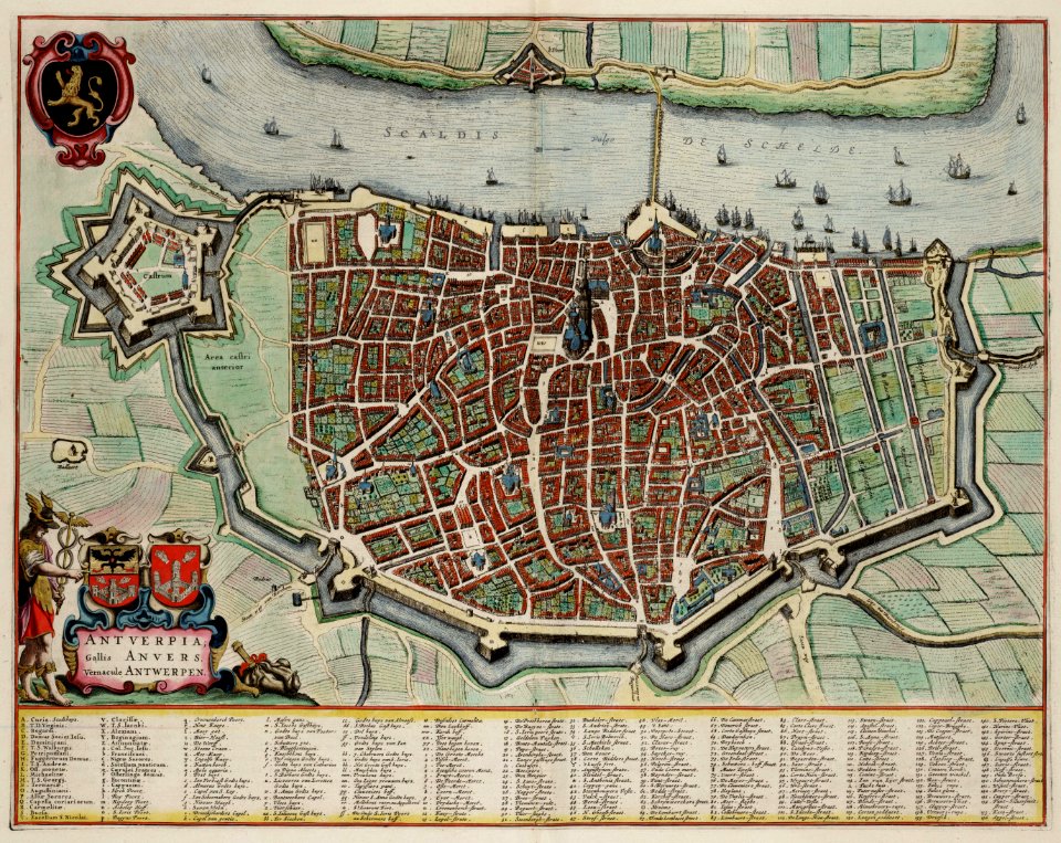
johannes blaeu - map of antwerp
atlas van loon
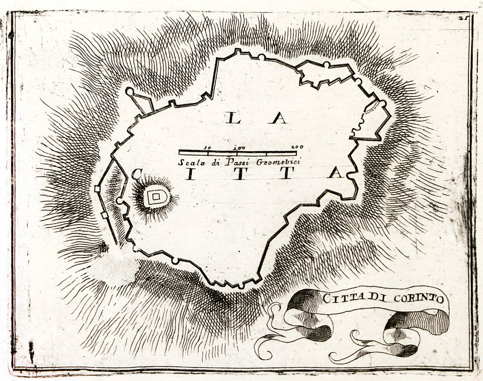
geographical illustrations by coronelli
old maps of the peloponnese
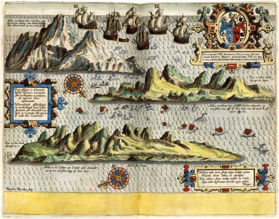
itinerario (jan huygen van linschoten)
1596
maps of the dutch east india company - madagascar
1598
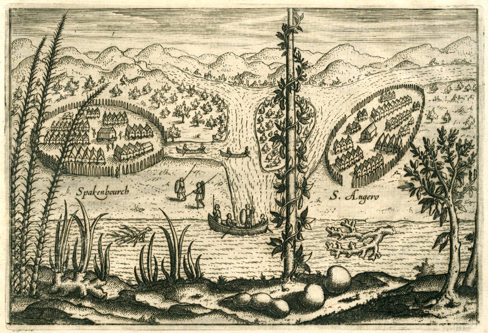
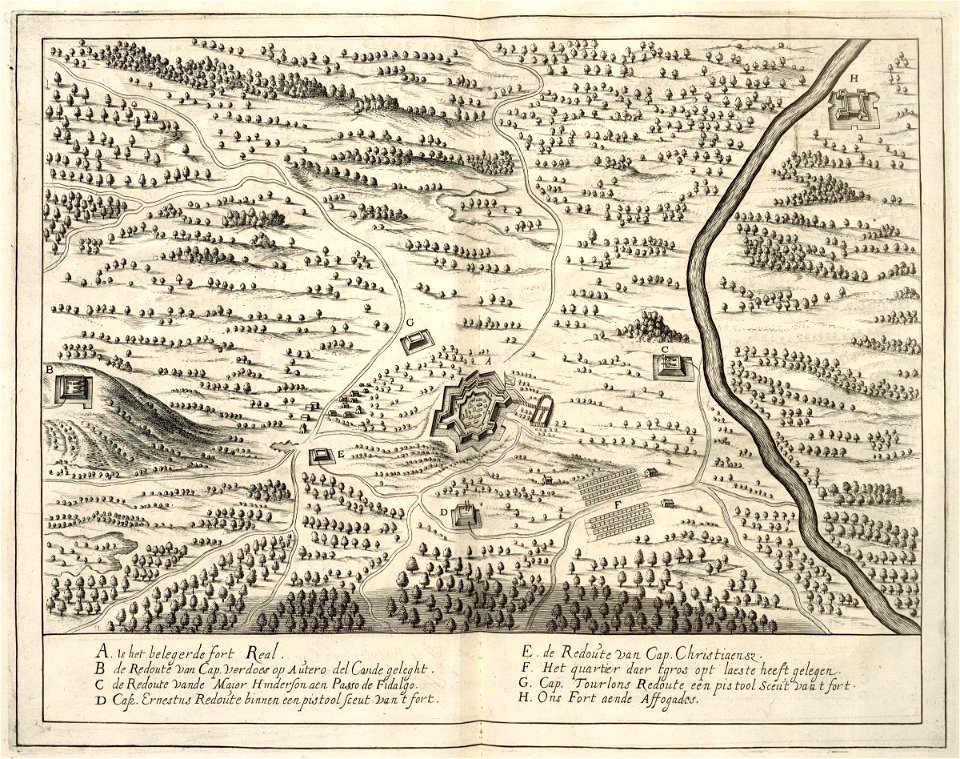
maps of the west-indische compagnie
1644
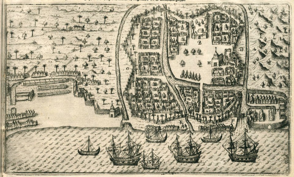
maps of the dutch east india company - indonesia
1598
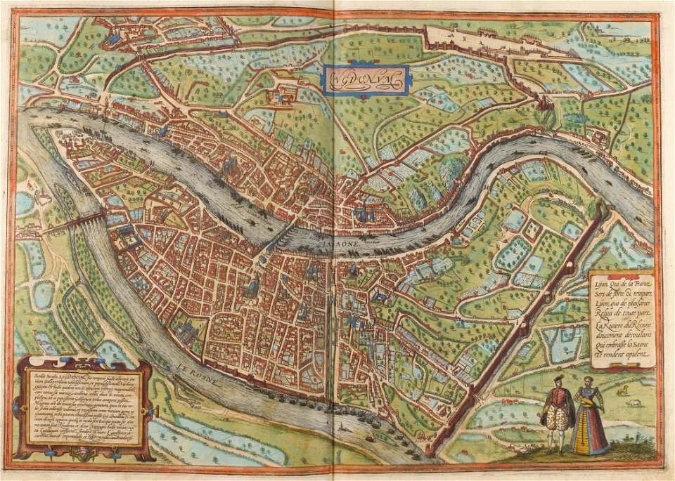
confluence of the rhône and saône rivers
historical images of lyon
illustrations du catalogue remboursable de l'expo 1900
maps of the exposition universelle (1900)
illustrations du catalogue remboursable de l'expo 1900
maps of the exposition universelle (1900)
map of ferrara by andrea bolzoni
corso della giovecca (ferrara)
map of ferrara by andrea bolzoni
addizione erculea
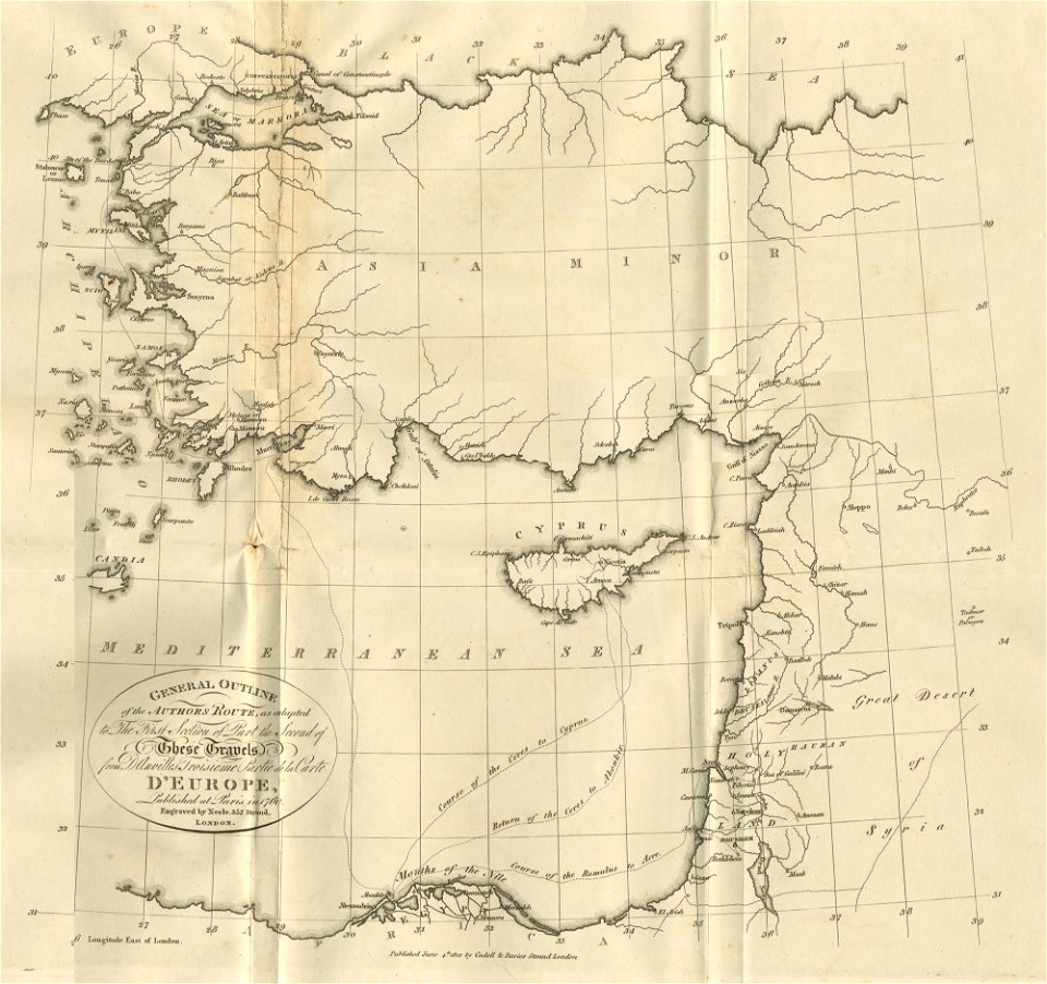
asia and africa
1813 maps
files from the bodleian libraries
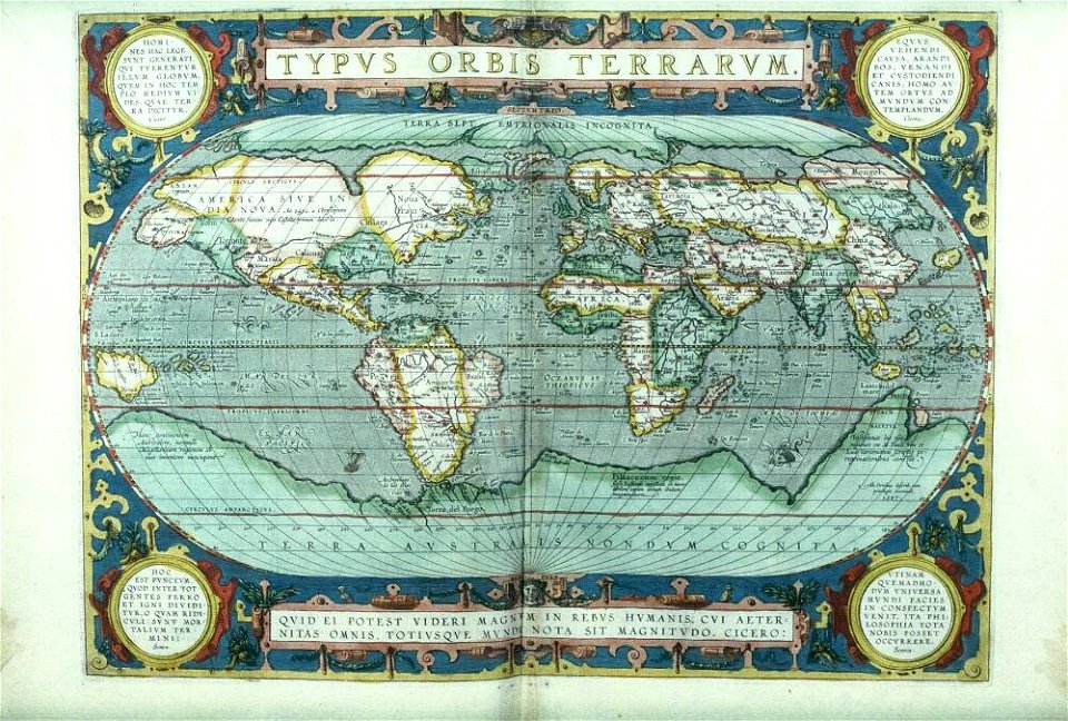
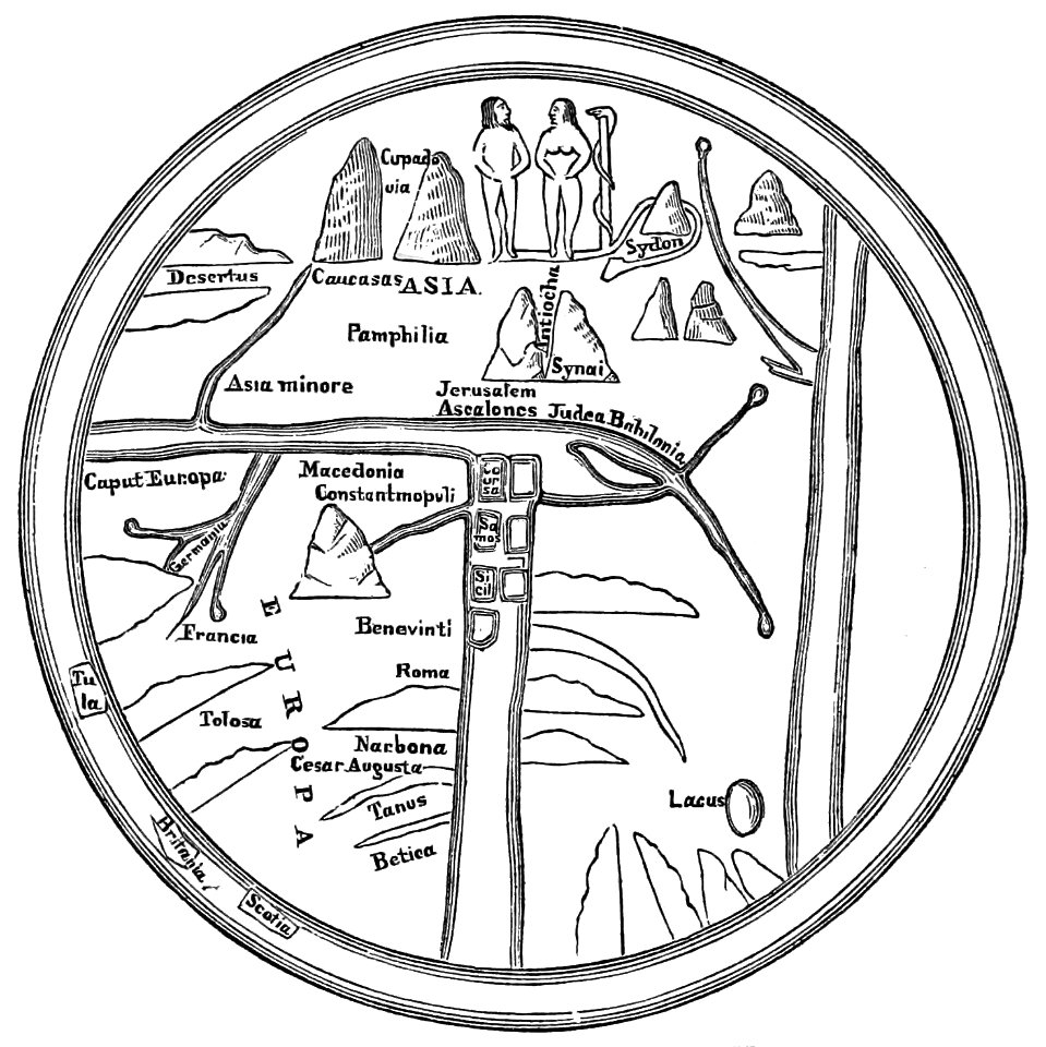
old maps of the world
files from the bodleian libraries
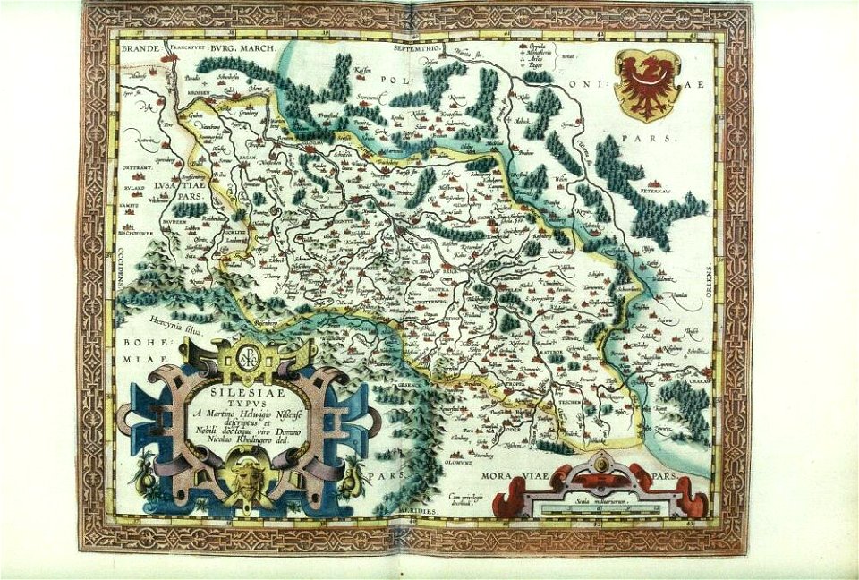
old maps of silesia
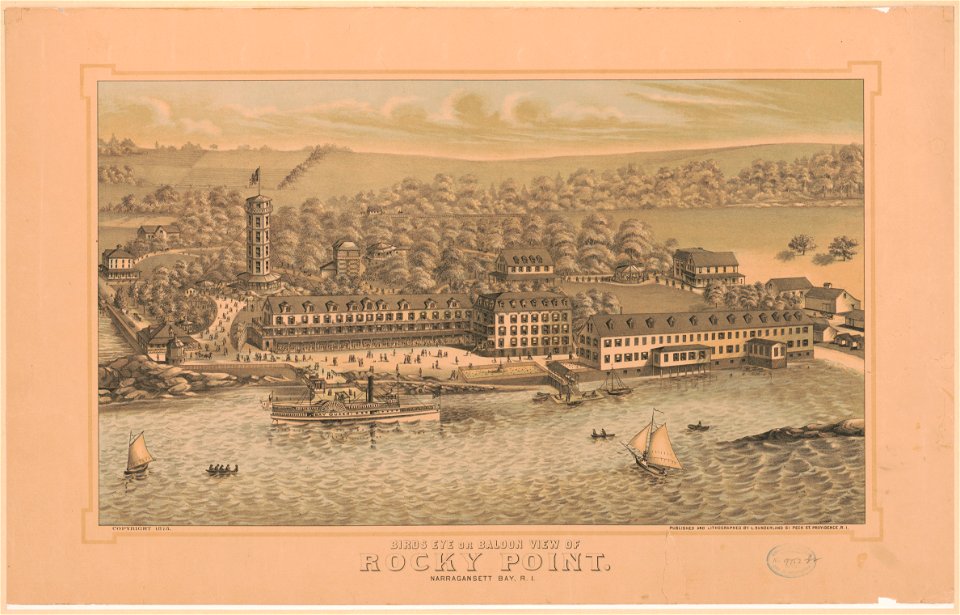
bird's eye view maps of rhode island
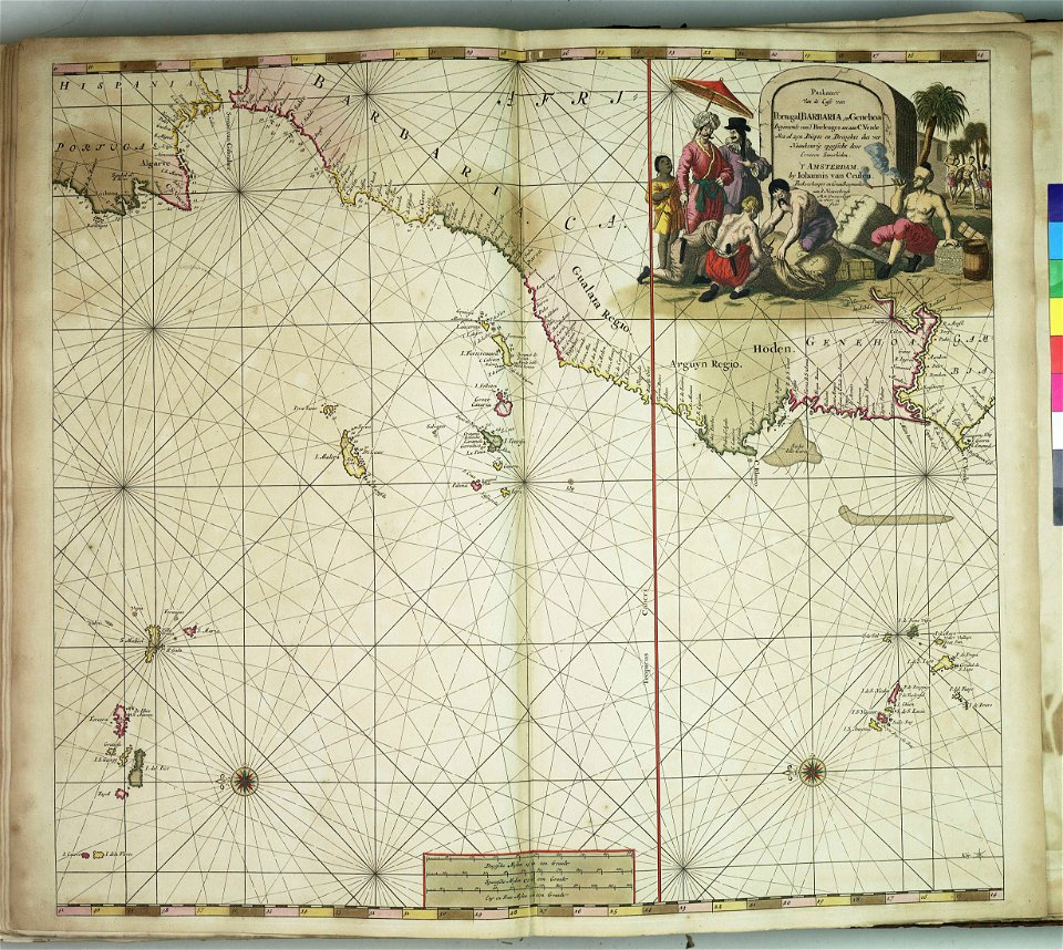
charts and maps of the royal museums greenwich
popular science monthly illustrations/volume 32
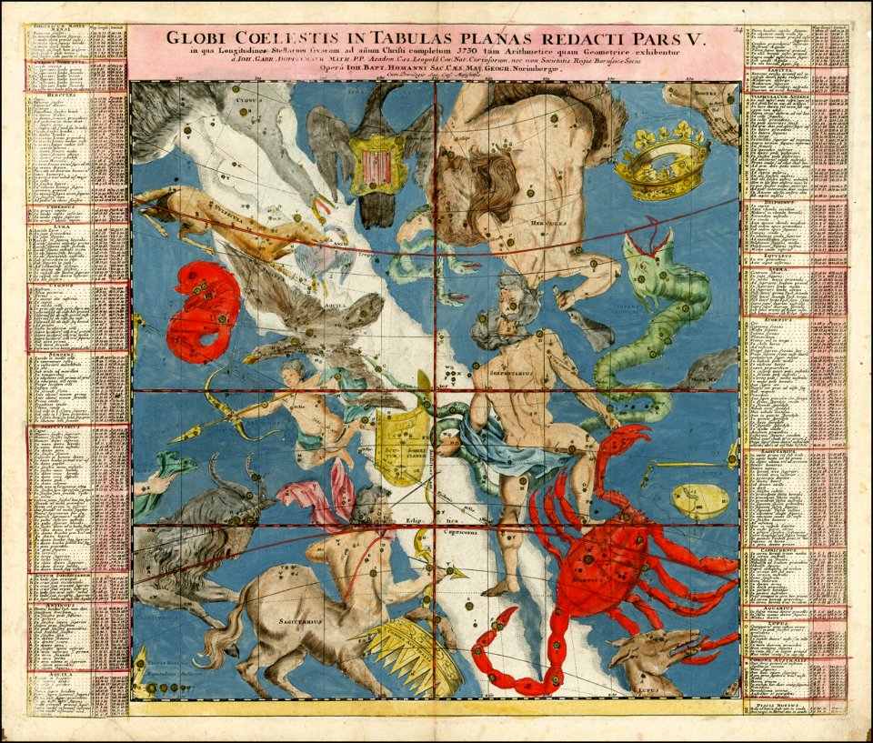
astronomical maps
old maps of greece
olfert dapper
old maps of istanbul
hartmann schedel
maps of the dutch east india company - india
1755
artist
maps
maps
new
maps
art
corsica (galleria delle carte geografiche)
old maps of corsica
austro-hungarian north pole expedition
images of vasárnapi ujság in 1874
popular science monthly illustrations/volume 10
ancient earth views
johann gabriel doppelmayr
old celestial maps
old maps of nijmegen
atlas de wit 1698
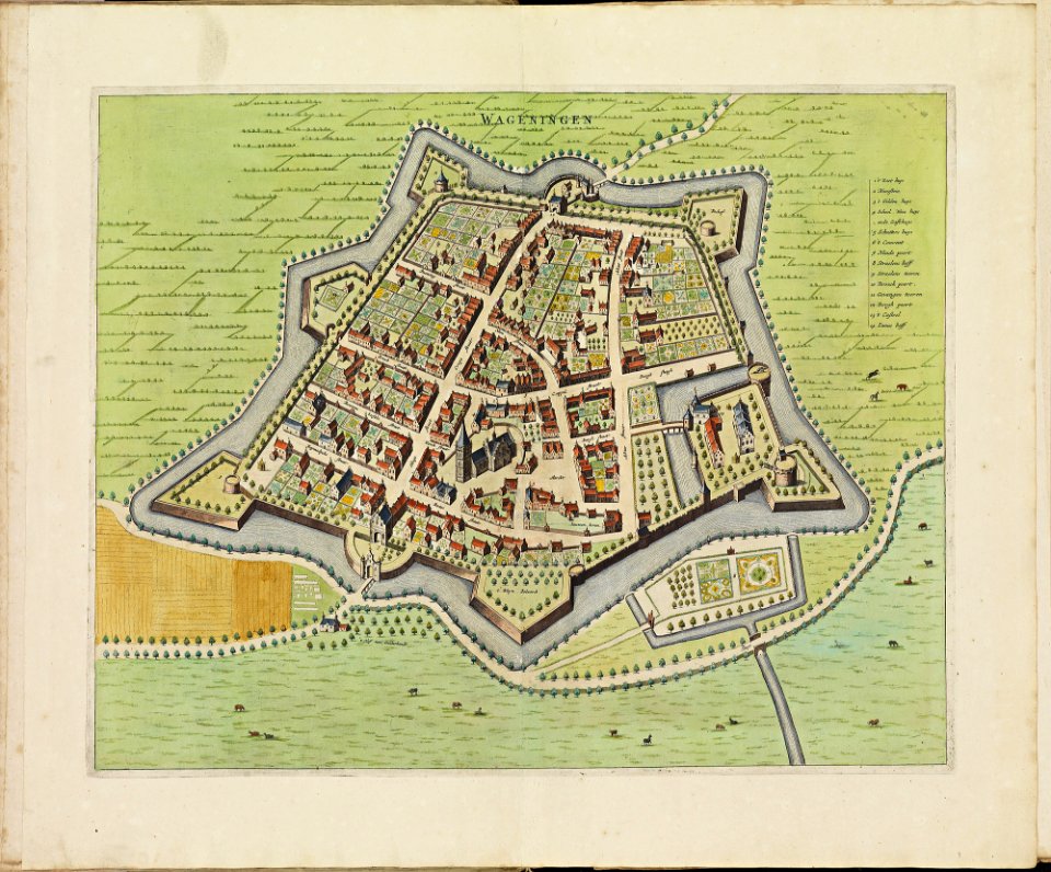
old maps of wageningen
atlas de wit 1698
atlas de wit 1698
old maps of tiel
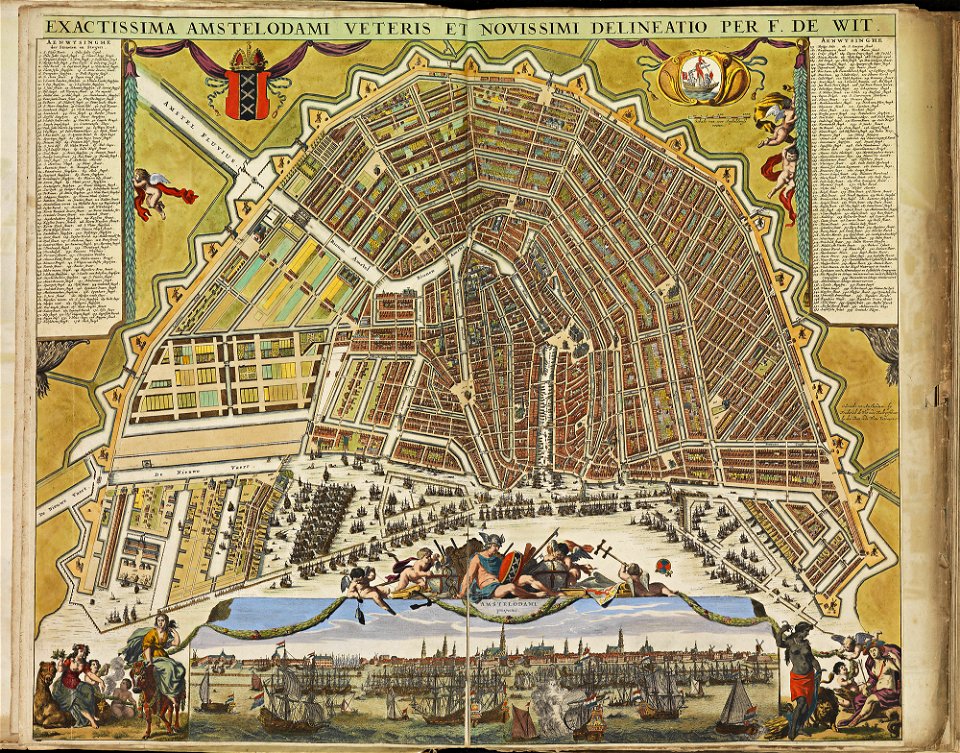
old maps of amsterdam
atlas de wit 1698
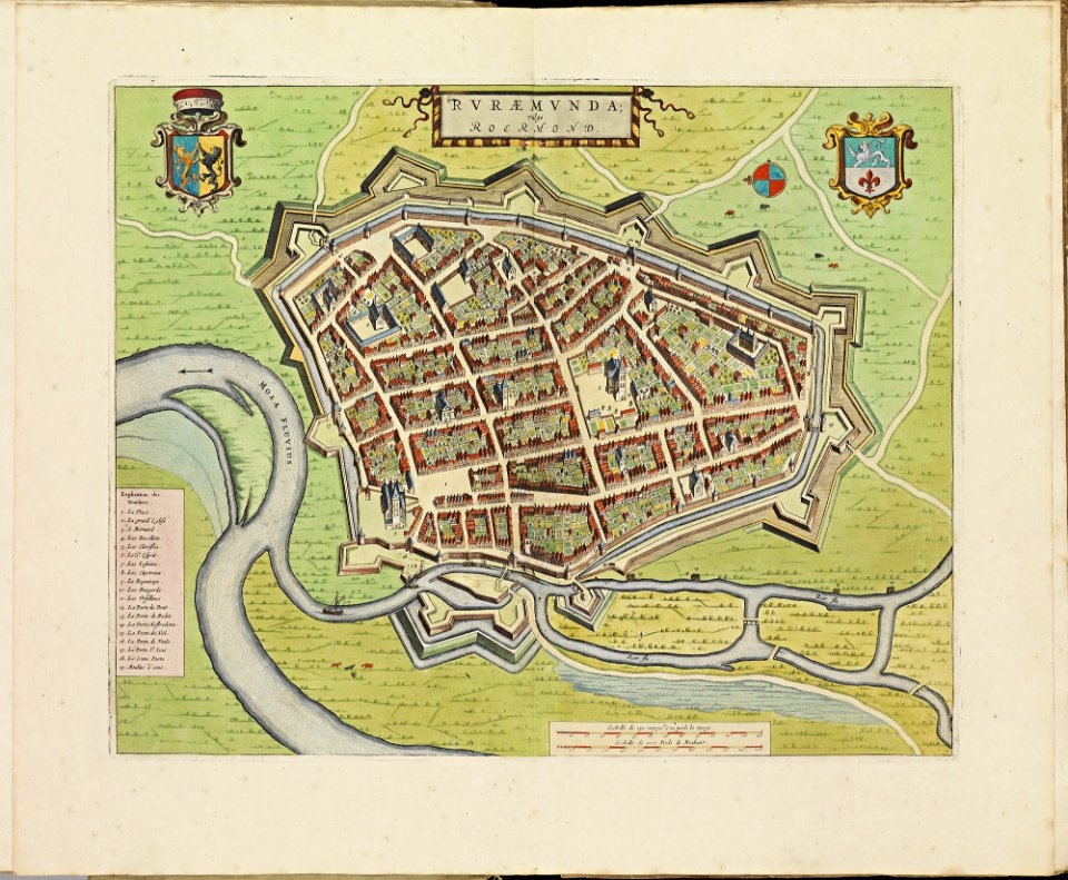
old maps of roermond
atlas de wit 1698
atlas de wit 1698
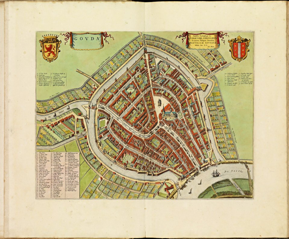
old maps of gouda
atlas de wit 1698
old maps of delft
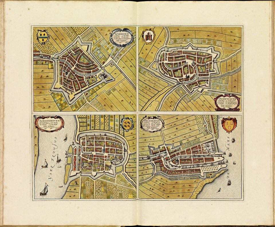
old maps of schoonhoven
atlas de wit 1698
atlas de wit 1698
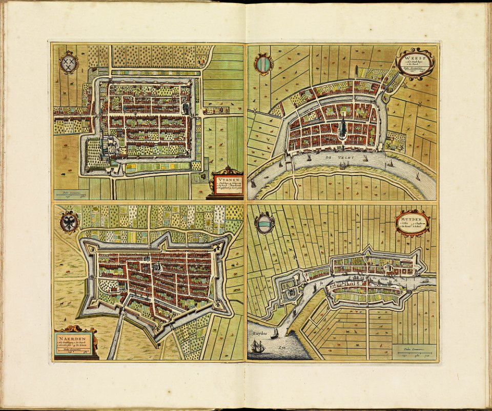
old maps of weesp
atlas de wit 1698
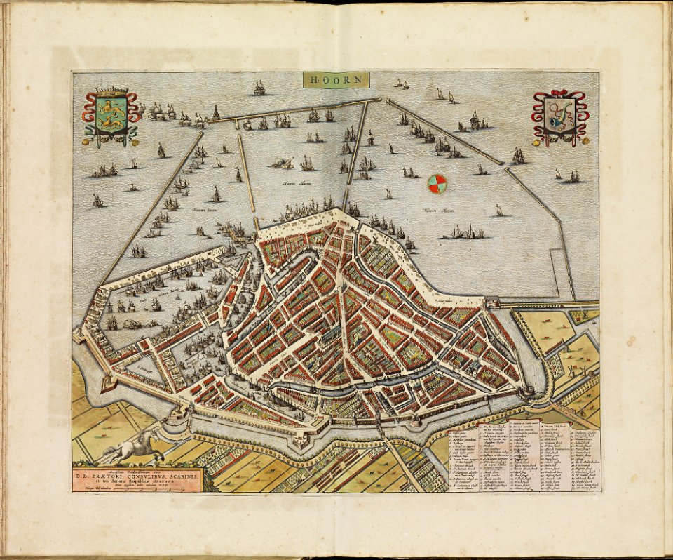
old maps of hoorn
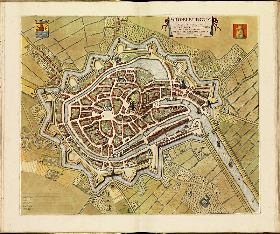
old maps of middelburg
atlas de wit 1698
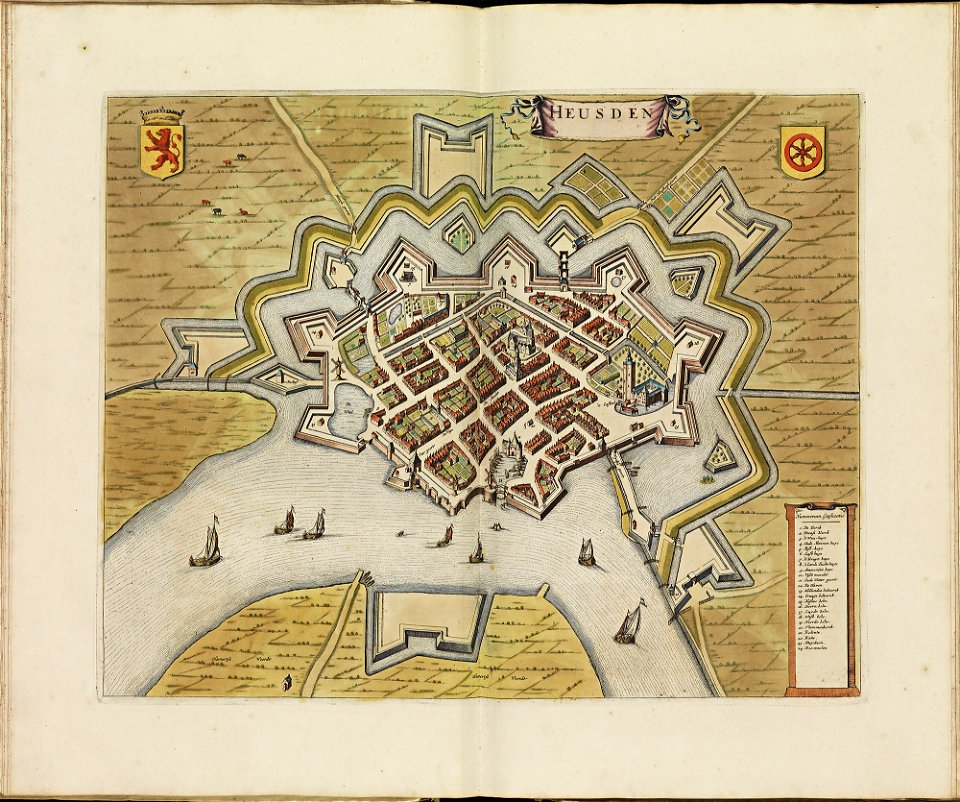
old maps of heusden
atlas de wit 1698
old maps of woerden
atlas de wit 1698
atlas de wit 1698
old maps of sneek
old maps of dokkum
atlas de wit 1698
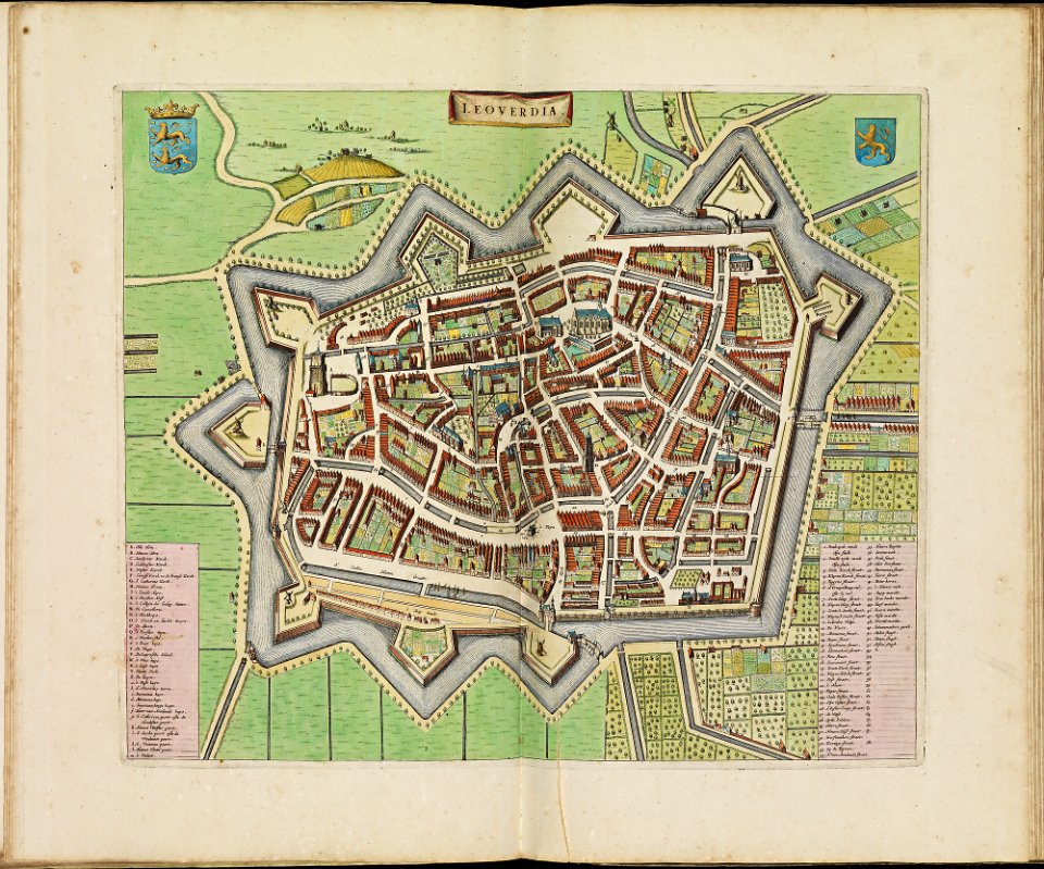
old maps of leeuwarden
atlas de wit 1698
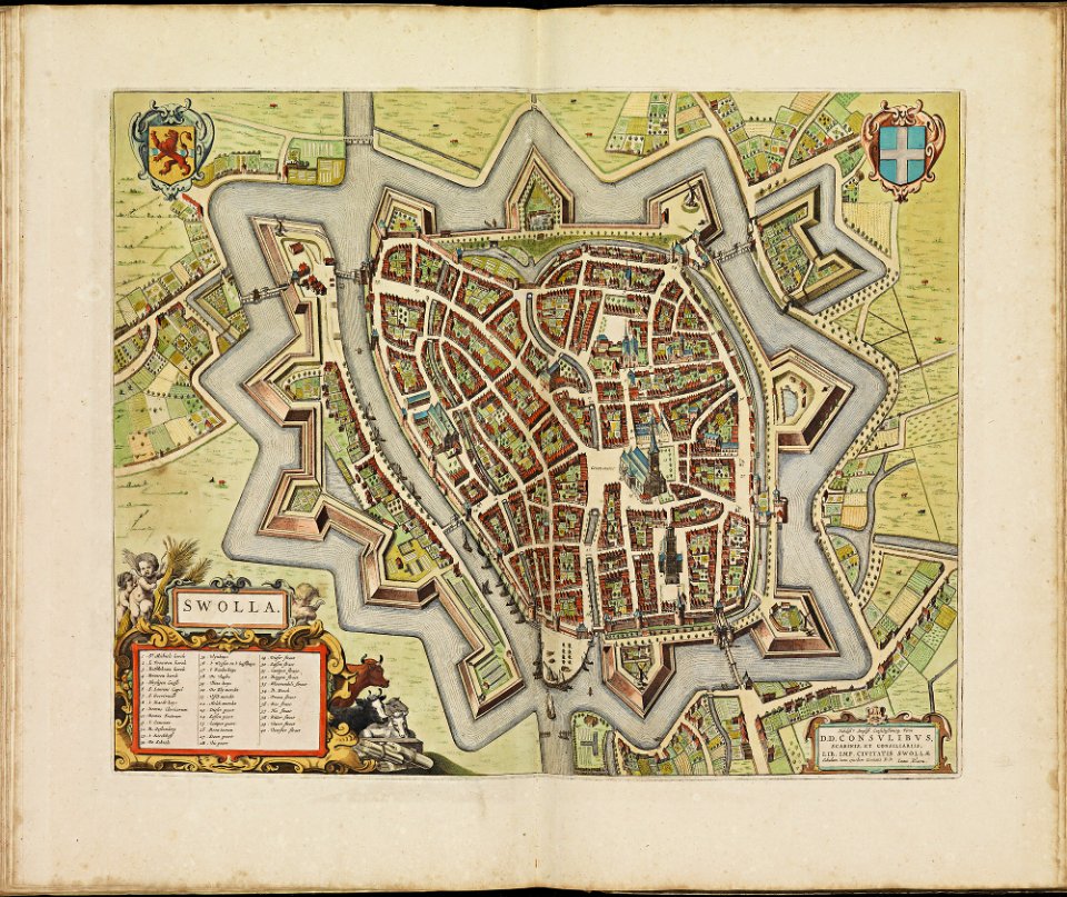
old maps of zwolle
atlas de wit 1698
old maps of harlingen
atlas de wit 1698
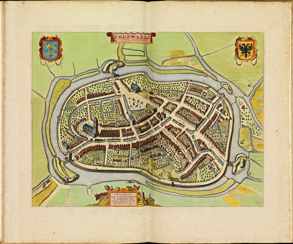
old maps of bolswaart
atlas de wit 1698
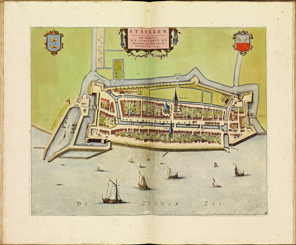
old maps of stavoren
atlas de wit 1698
atlas de wit 1698
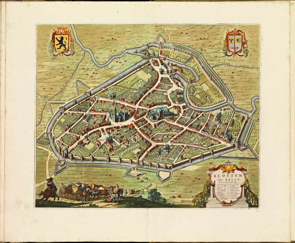
old maps of aalst
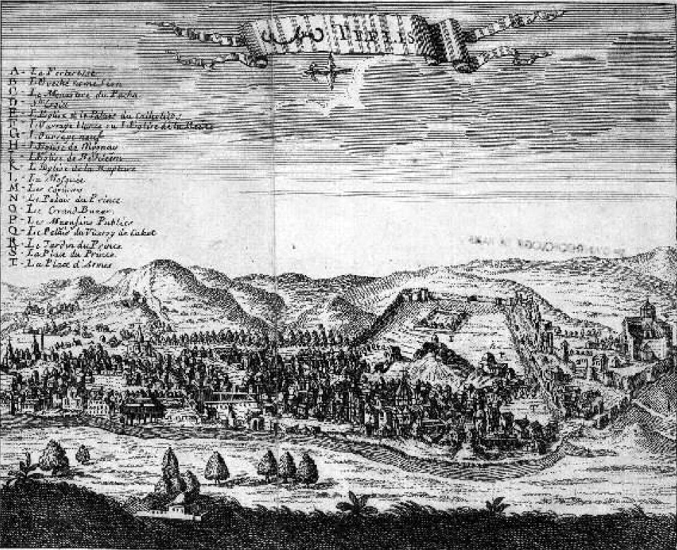
tbilisi in the 17th century
jean chardin
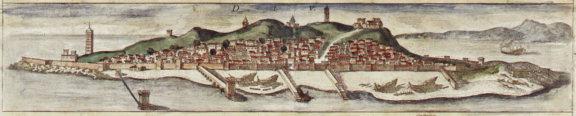
braun & hogenberg
diu
former castles in germany
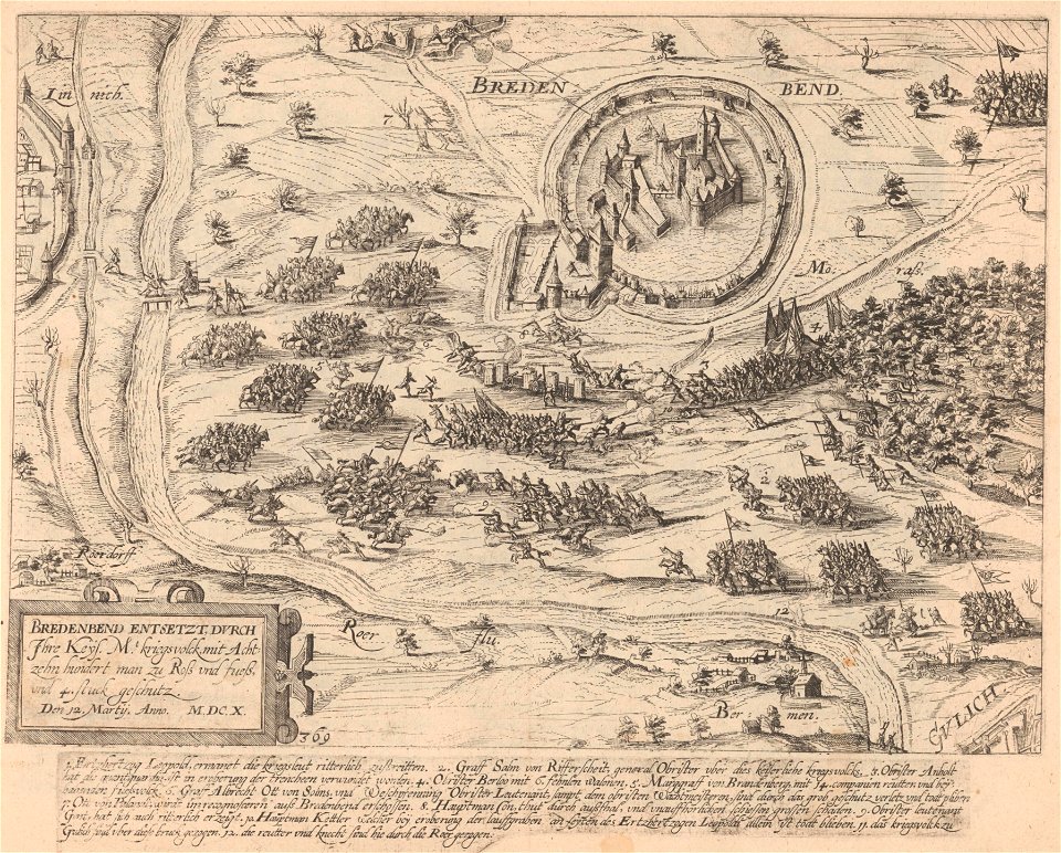
frans hogenberg
engravings of topographia saxoniae inferioris
bremen-verden campaign
maps in the library of congress
ohio
maps in the library of congress
ohio
maps in the library of congress
ohio
maps in the library of congress
ohio
maps in the library of congress
ohio
maps in the library of congress
ohio
maps in the library of congress
ohio
maps in the library of congress
ohio
maps in the library of congress
ohio
maps in the library of congress
ohio
maps in the library of congress
ohio
maps in the library of congress
ohio
maps in the library of congress
ohio
maps in the library of congress
ohio
maps in the library of congress
ohio
drawings (documentary) collection in the library of congress
1860 in art
drawings (documentary) collection in the library of congress
1860 in art
maps in the library of congress
ohio
maps in the library of congress
ohio
maps in the library of congress
ohio
maps in the library of congress
ohio
maps in the library of congress
ohio
maps in the library of congress
ohio
maps in the library of congress
ohio
maps in the library of congress
ohio
maps in the library of congress
ohio
maps in the library of congress
ohio
maps in the library of congress
ohio
maps in the library of congress
ohio
maps in the library of congress
ohio
illustrations du catalogue remboursable de l'expo 1900
maps of the exposition universelle (1900)
map of ferrara by andrea bolzoni
corso porta po (ferrara)
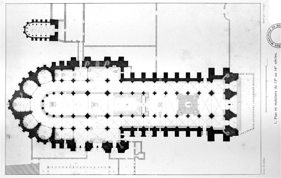
bibliothèque municipale de reims
maps of reims
old maps of havana
cuba in the 1860s
geographical illustrations by coronelli
old maps of the peloponnese
geographical illustrations by coronelli
maps of icaria
12801 - 12900 of 357,572
Next page
/ 3576