En
Log in
All resources
Create a design
Tools
357,572 Free Images of Map
maps
world
background
blue
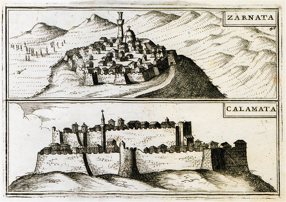
geographical illustrations by coronelli
old maps of the peloponnese
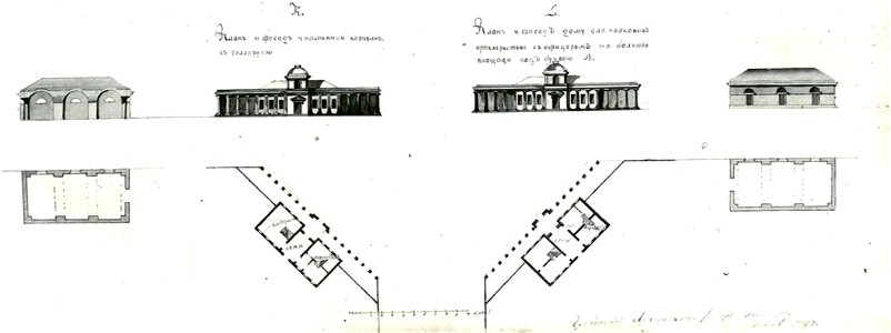
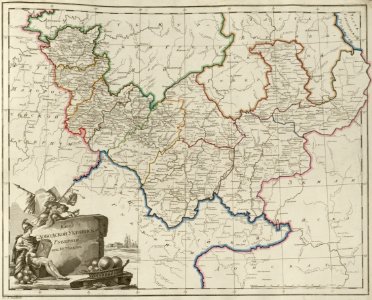
atlas of the russian empire (1800)
continent
globe
global
travel
maps
travel
maps
people
maps
maps
old
old map
maps
maps in the library of congress
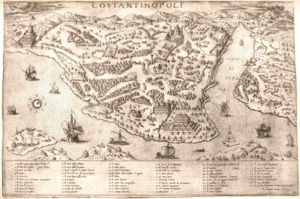
old maps of istanbul
russo-japanese war in art
japanese fine prints
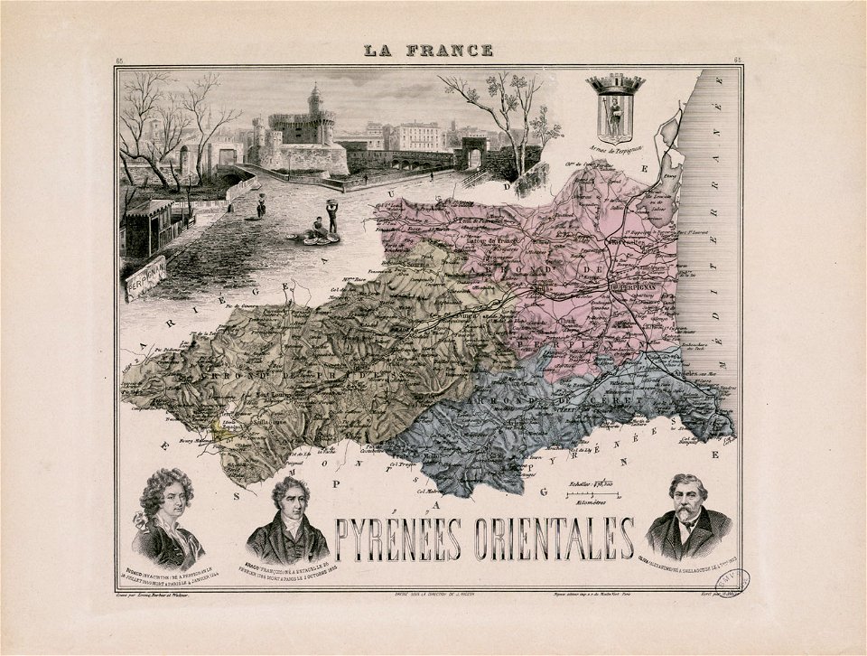
alexandre-joseph oliva
hyacinthe rigaud
chromolithograph
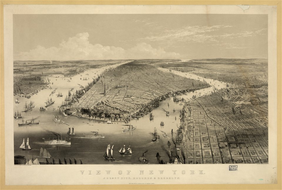
new york city
planet
maps
background
maps
background
maps
children
maps
science
maps
background
symbol
background
maps
background
maps
christmas
maps
icons
maps
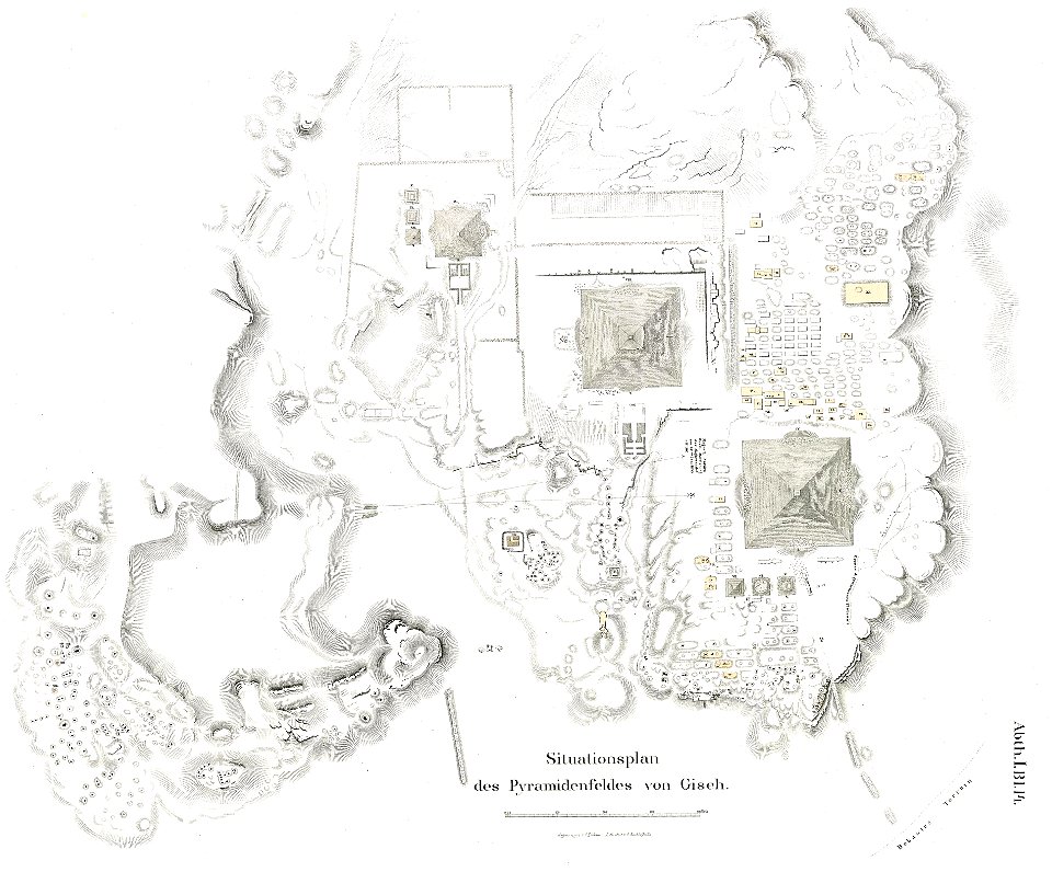
lepsius-projekt - pyramids
plans of giza necropolis
lepsius-projekt - temples
lepsius-projekt - maps
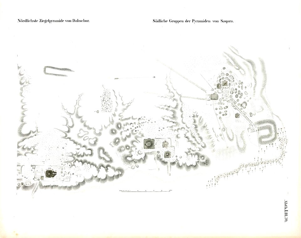
saqqara pyramids
dahshur
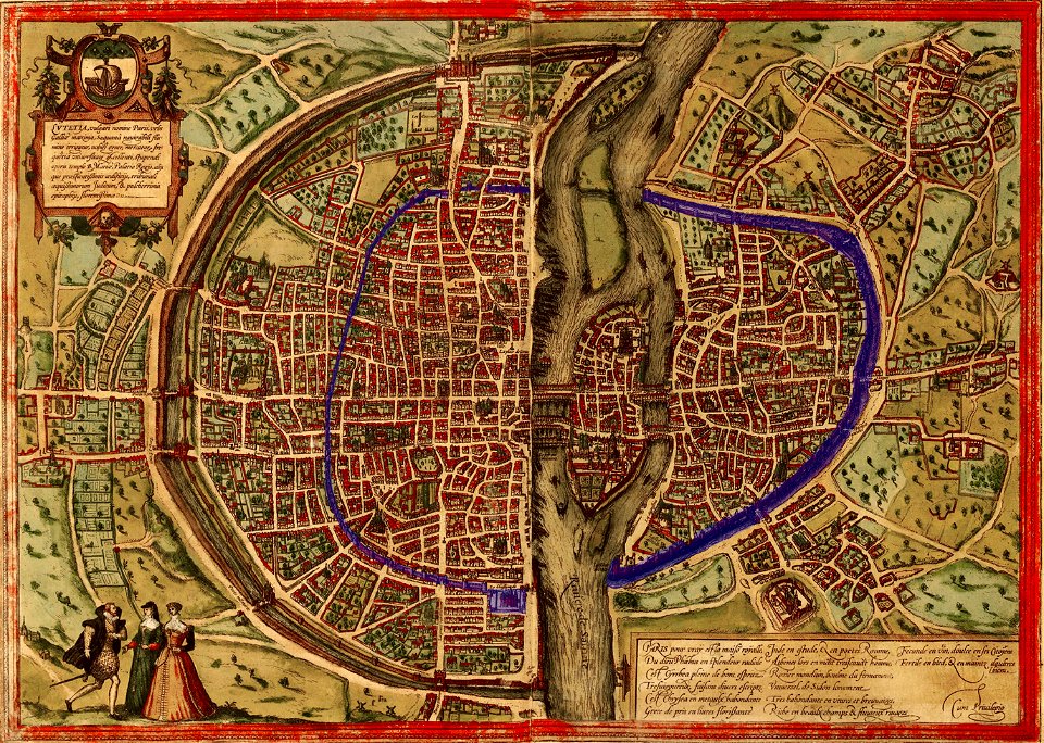
maps of paris by braun & hogenberg
paris in the 16th century
popular science monthly illustrations/volume 31
astronomical maps
geographical illustrations by coronelli
old maps of the peloponnese
old maps of constantinople
braun & hogenberg
old maps of istanbul
nicolas de fer
geographical illustrations by coronelli
old maps of the peloponnese
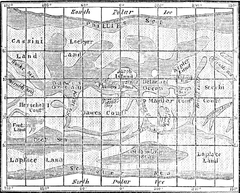
popular science monthly illustrations/volume 4
old maps of mars
popular science monthly illustrations/volume 32
astronomical maps
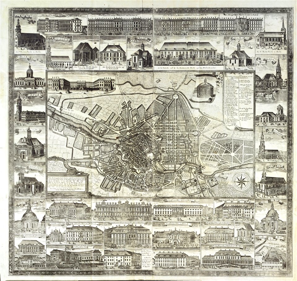
18th-century maps of berlin
johann david schleuen
charts and maps of the royal museums greenwich
historical images of minsk
old maps of minsk
volume 9 of le tour du monde
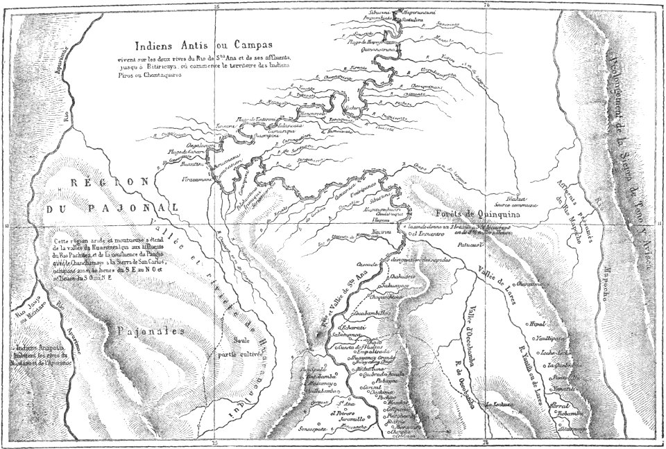
old maps of peru
volume 63 of le tour du monde
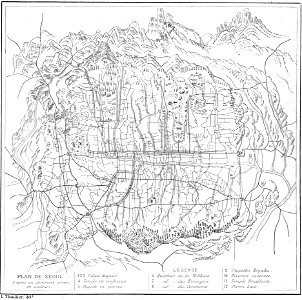
old maps of seoul
volume 2 of le tour du monde
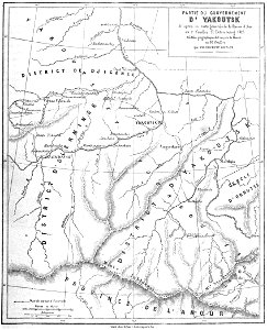
old maps of russia
volume 2 of le tour du monde
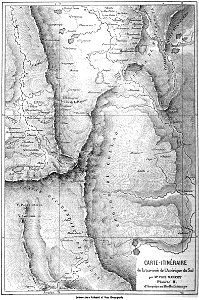
old maps of myanmar
volume 7 of le tour du monde
old maps of peru
volume 6 of le tour du monde
old maps of peru
„atlas coelestis in quo mundus spectabilis“ by j.b. doppelmayr
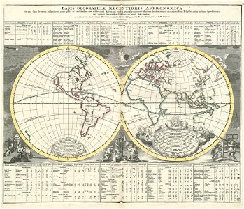
double hemisphere world maps
geographical illustrations by coronelli
old maps of the peloponnese
the illustrated london news 1857
old maps of delhi
coats of arms of markgröningen
old maps of markgröningen
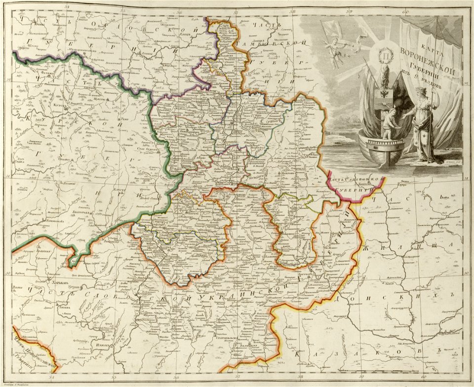
old maps of governorates of the russian empire
atlas of the russian empire (1800)
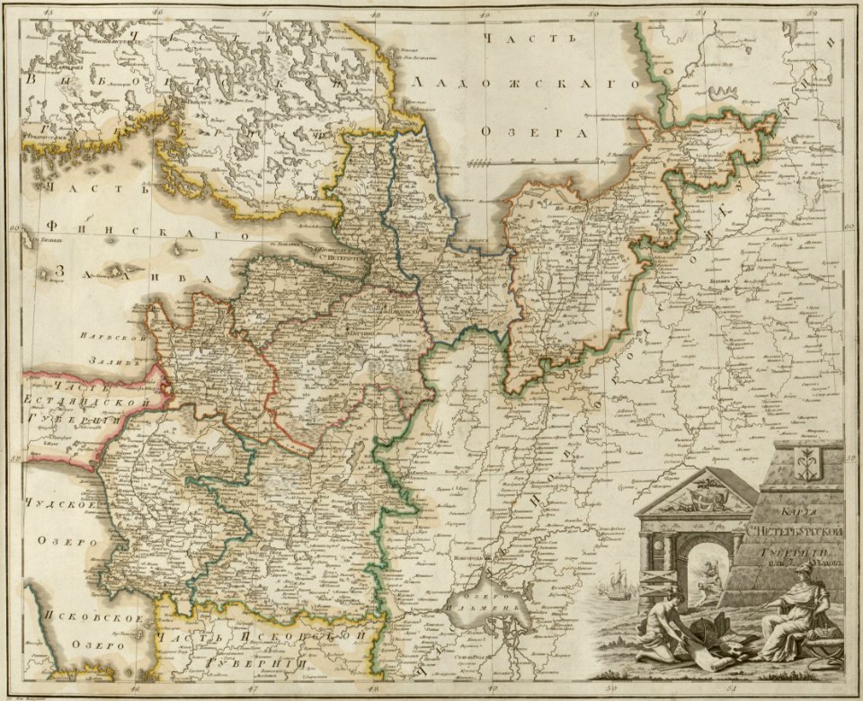
maps of saint petersburg governorate
atlas of the russian empire (1800)
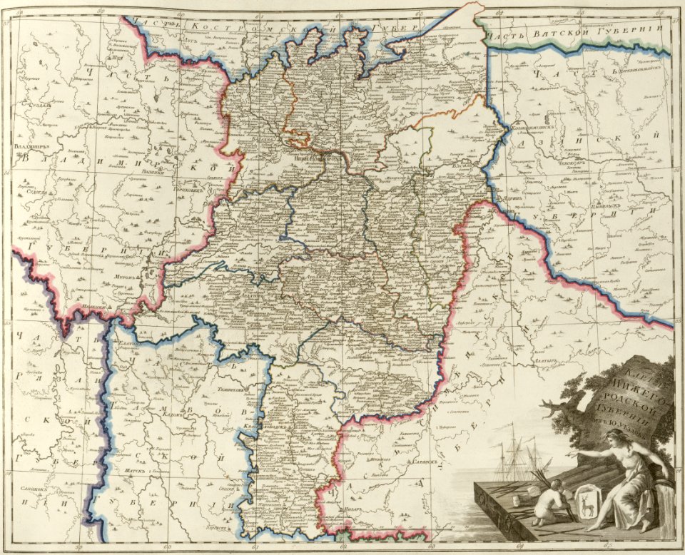
maps of nizhny novgorod governorate
atlas of the russian empire (1800)
old maps of governorates of the russian empire
atlas of the russian empire (1800)
old maps of deventer
atlas schoemaker
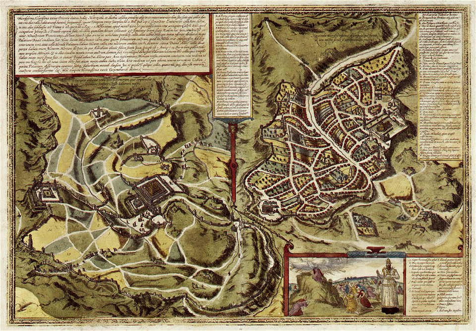
historical images of jerusalem
braun & hogenberg
braun & hogenberg
historic port
william elmes
printing
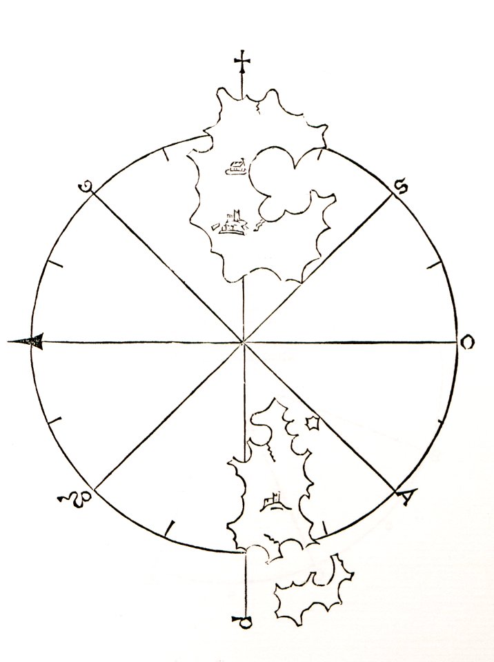
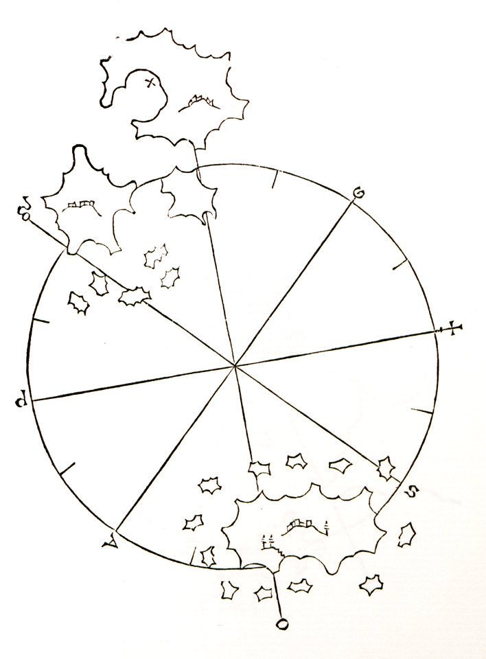
old maps of islands of the aegean sea
bartolommeo dalli sonetti
1818 watercolor paintings
vilenica cave
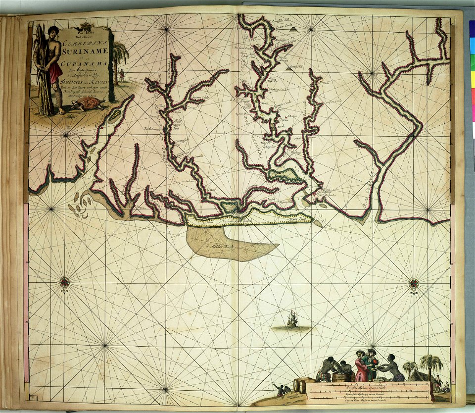
maps of the west-indische compagnie
1745
maps of the dutch east india company - indonesia
1598
maps of the dutch east india company - mauritius
1753
old celestial maps
andreas cellarius
maps of the dutch east india company - sri lanka
1787
maps of the dutch east india company - south africa
old maps of bergen op zoom
atlas beudeker
title pages of maps
atlas de wit 1698
claes jansz. visscher (ii)
1627
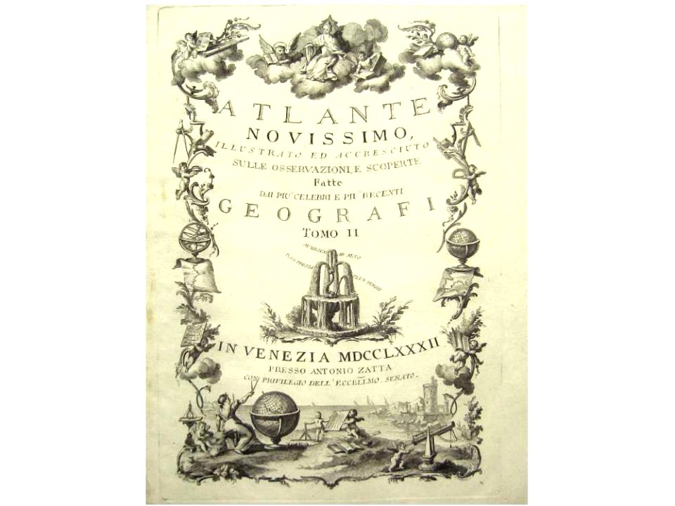
title pages from italy
printers from venice
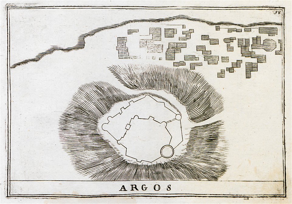
history of argos
argos castle
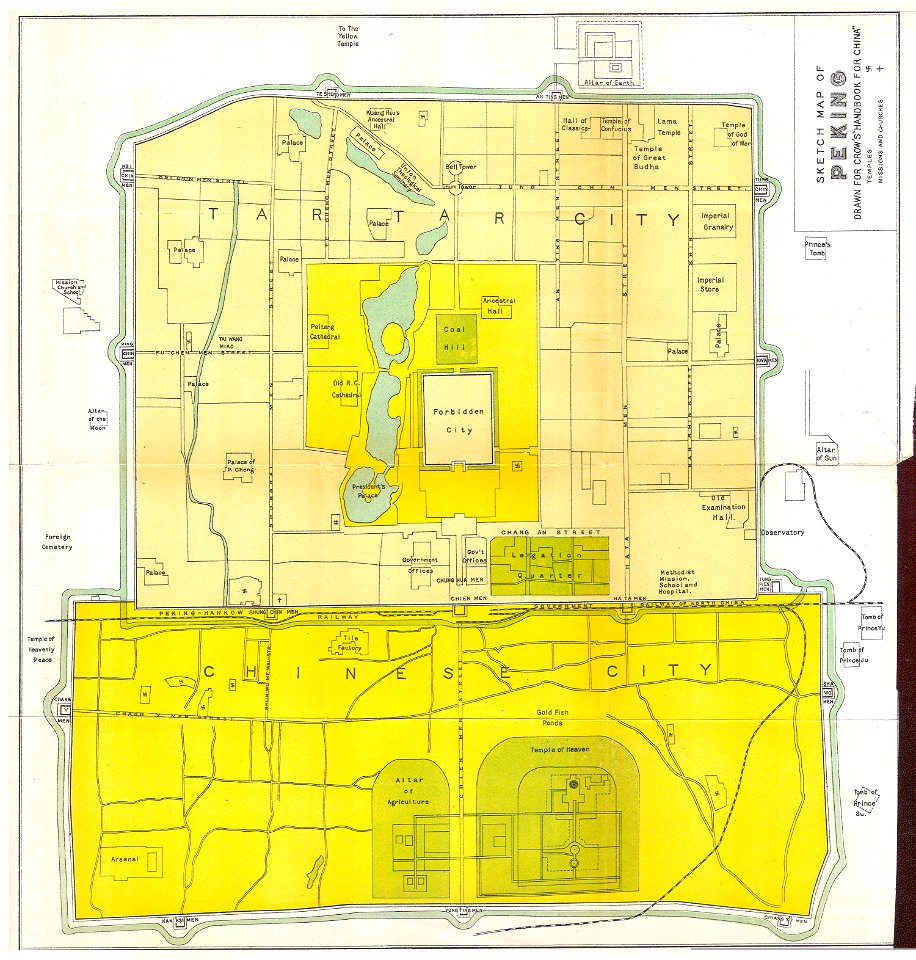
old maps of beijing
history of beijing
atlante veneto (raremaps.com) volume 2
18th-century maps of lombardy
collection de la bibliothèque municipale de reims
old maps of aube
geographical illustrations by coronelli
old maps of the peloponnese
maps of dalmatia
1552
files from the bodleian libraries
old maps of iceland
portolan charts
1575
charts and maps of the royal museums greenwich
collection of the yorkshire museum
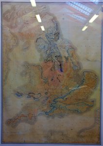
william smith (geologist)
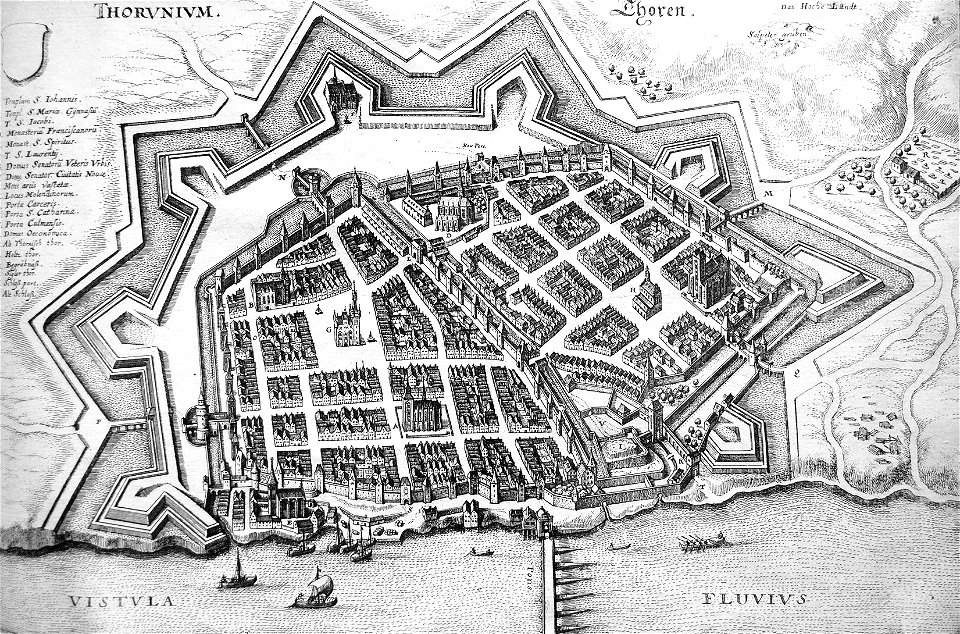
river transport in the polish-lithuanian commonwealth
engravings by matthäus merian
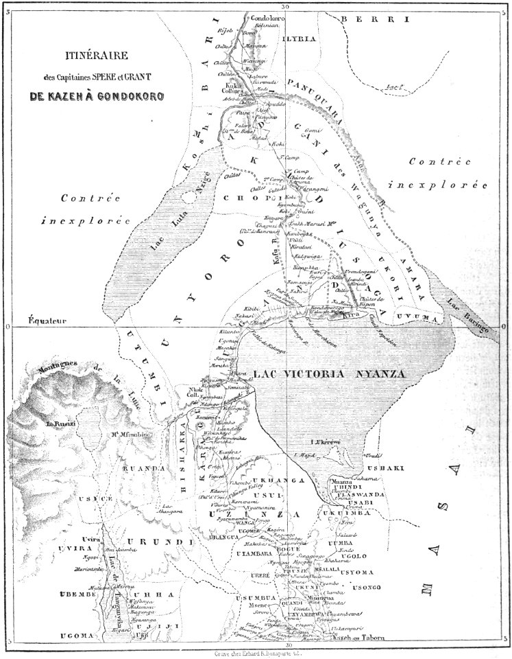
volume 9 of le tour du monde
1860s maps of africa
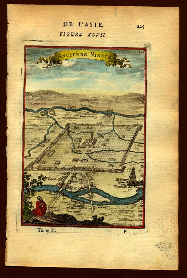
description de l'universe
maps of nineveh
description de l'universe
maps of nineveh
port of jijel
maps of jijel
maps and topographical views by joris hoefnagel
historical images of brno
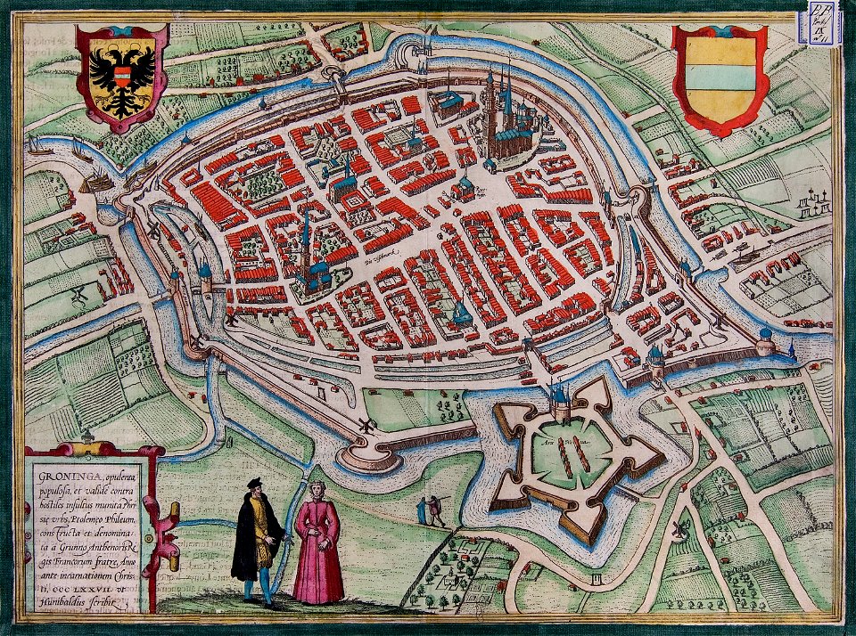
coats of arms of groningen (city)
braun & hogenberg
17th-century woodcuts
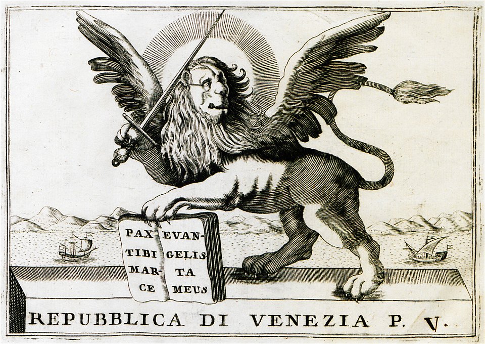
old maps of venice
map of rome by giovanni battista falda (1676)
villa palombara (rome)
printing
1869
volume 7 of le tour du monde
old maps of mauritius
travels in sicily greece and albania
lake pamvotis
old maps of schiedam
atlas de wit 1698
engravings of topographia saxoniae inferioris
maps of bremervörde
paintings in the museum het prinsenhof
old maps of delft
maps of groningen (city) by braun & hogenberg
great frisian war
popular science monthly illustrations/volume 32
astronomical maps
popular science monthly illustrations/volume 16
ancient greek maps of the world
drawings in the museu antônio parreiras
illustrations from 'robinson crusoe' by walter paget
people with maps in art
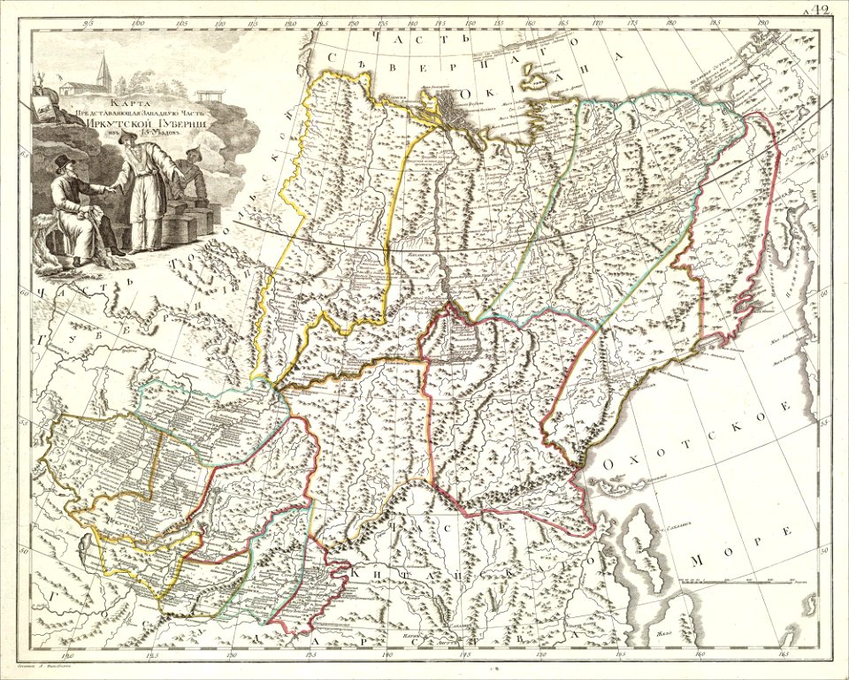
atlas of the russian empire (1800)
old maps of irkutsk governorate
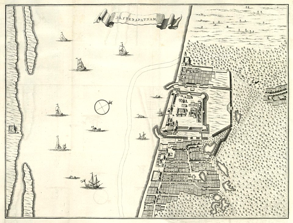
maps of the dutch east india company - sri lanka
1787
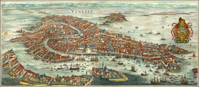
old maps of venice
matthäus merian
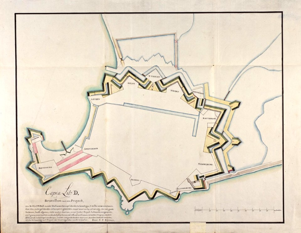
maps of the dutch east india company - sri lanka
1787
old maps of islands of the aegean sea
bartolommeo dalli sonetti
old maps of islands of the aegean sea
bartolommeo dalli sonetti
old maps of islands of the aegean sea
bartolommeo dalli sonetti
12401 - 12500 of 357,572
Next page
/ 3576