En
Log in
All resources
Create a design
Tools
357,572 Free Images of Map
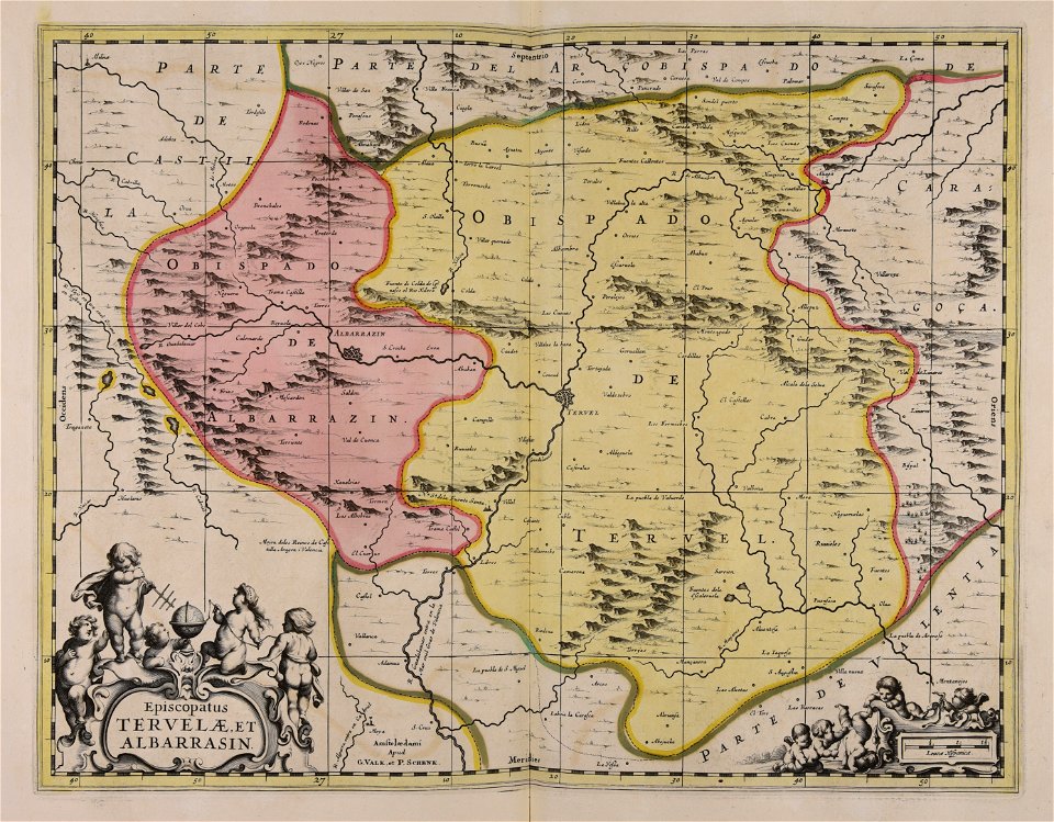
maps made in the 17th century
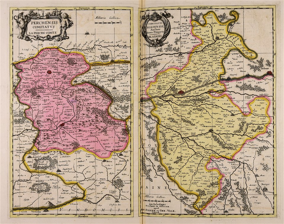
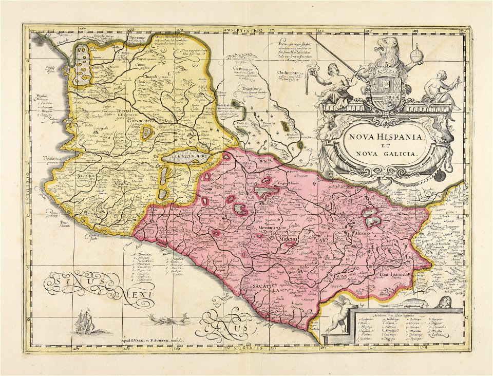
maps by pieter schenk (i)
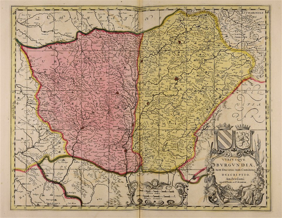
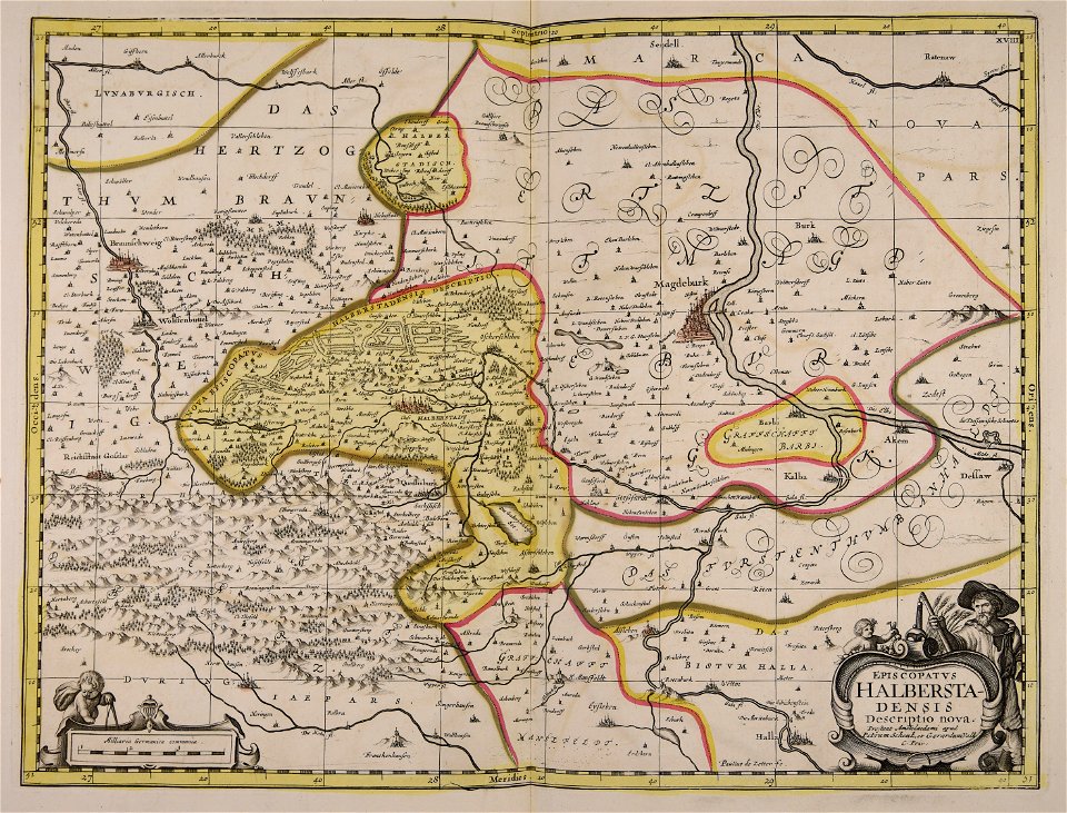
gerard valck
atlas van der hagen
maps with cartouches
atlantis magni tomus quartus (biblioteca comunale di trento)
maps
atlantis magni tomus tertius (biblioteca comunale di trento)
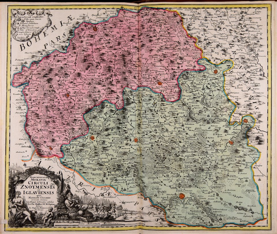
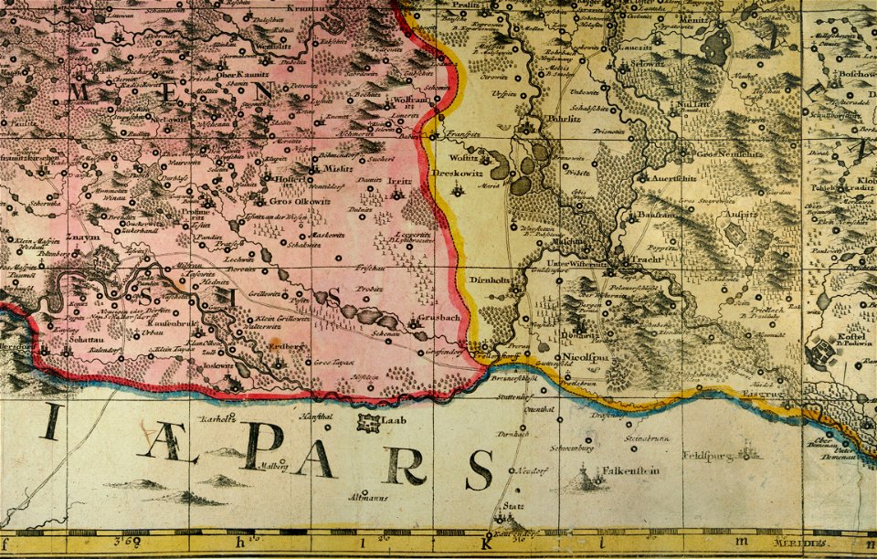
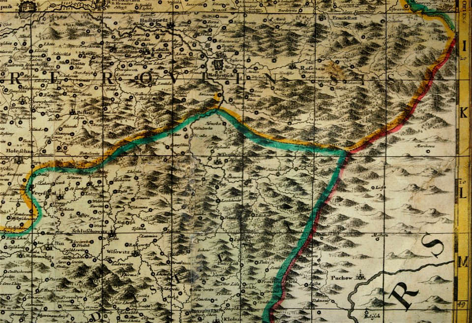
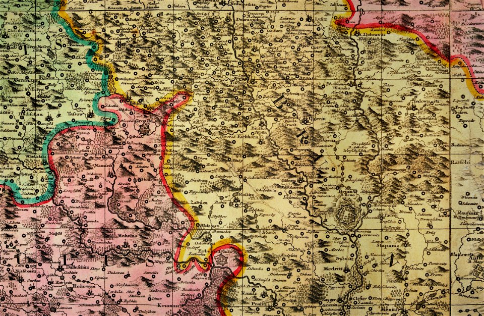
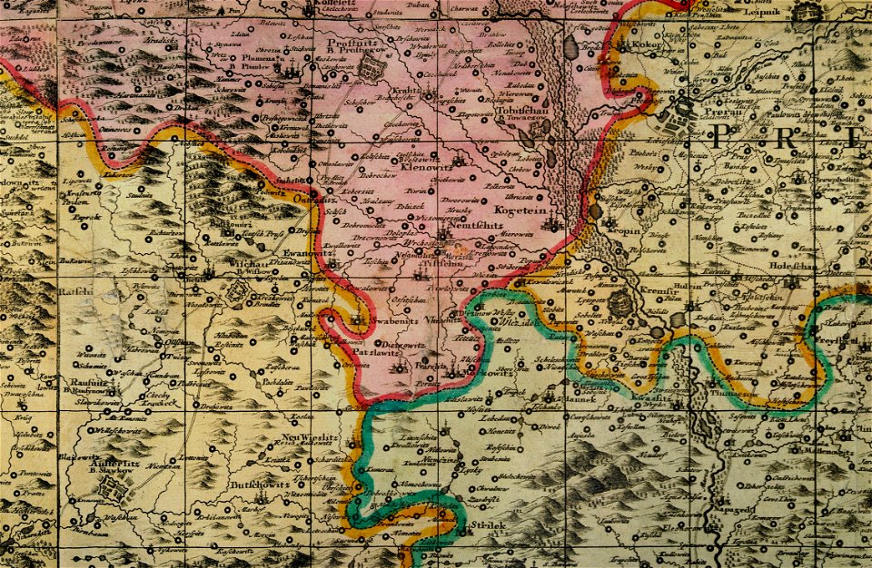
müller's map of moravia
cartography
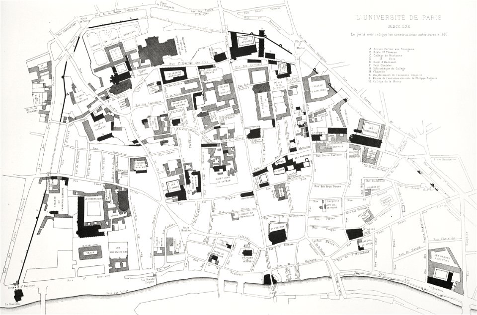
lithographs of paris
université de paris
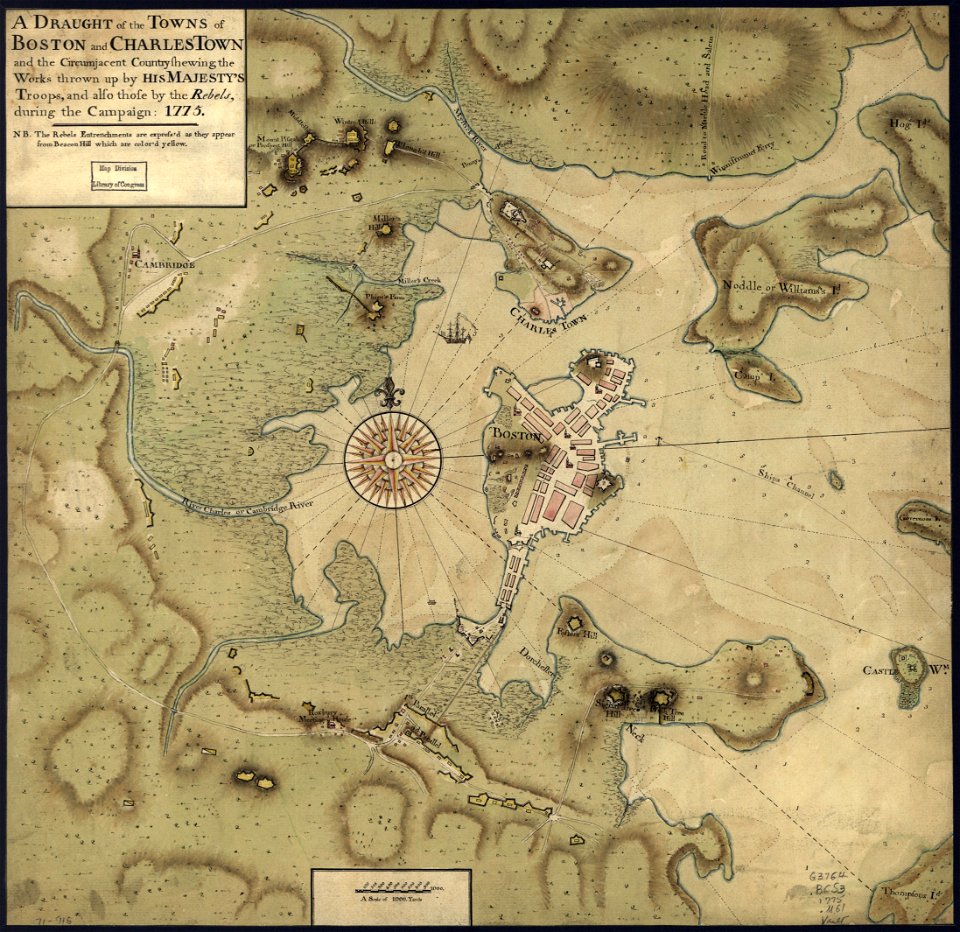
maps in the library of congress
1775 maps of boston
charts and maps of the royal museums greenwich
1682 maps
maps made in the 17th century
gerard valck
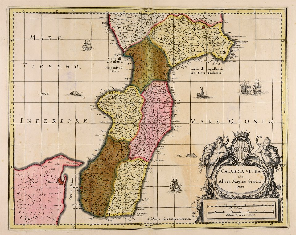
maps made in the 17th century
gerard valck
stones
maps
globe
maps
artworks with known accession number
artworks without wikidata item
maps
usa
maps
usa
maps
usa
maps
usa
united states
pd-author
self-published work
spanish
africa map
pd-user
maps with cartouches
copper engraving
copper engraving
ships on maps
old maps of lower saxony
maps with cartouches
maps with cartouches
atlas van der hagen
old maps of the canary islands
1667
the hague stork in art
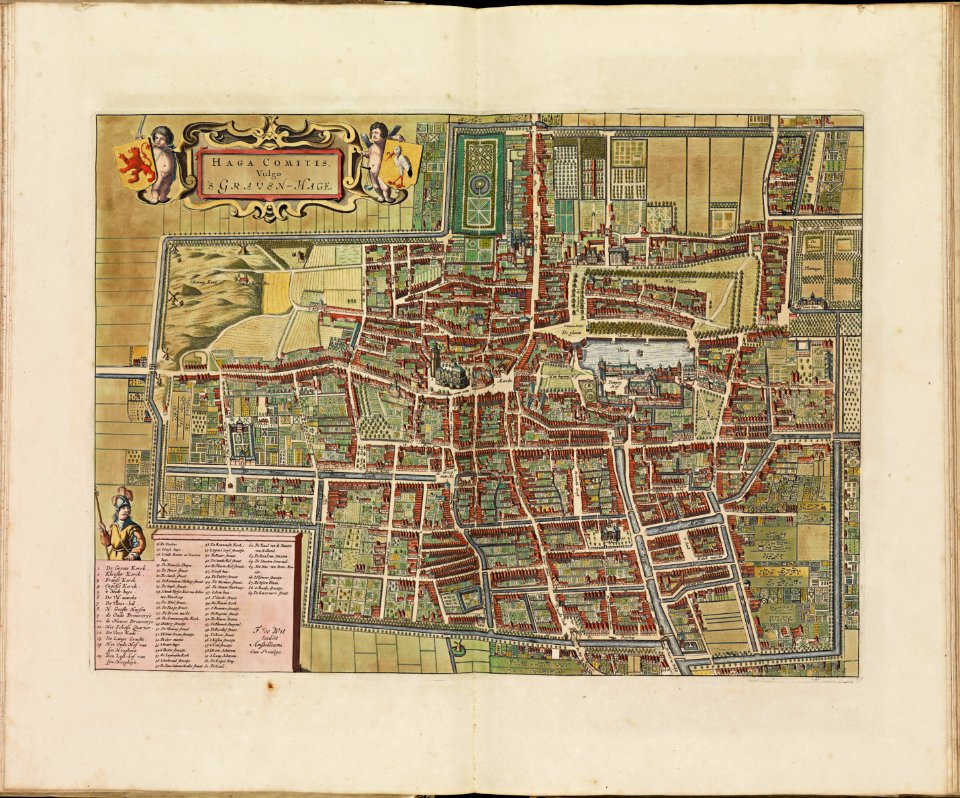
old maps of the hague
17th-century maps of maastricht
geography of maastricht
rennes in the 1900s
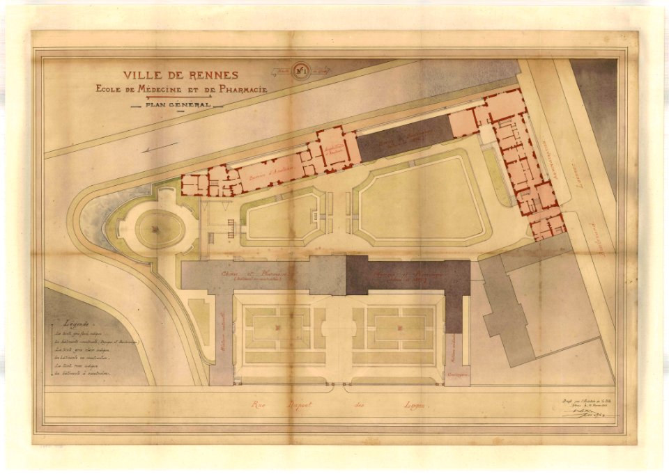
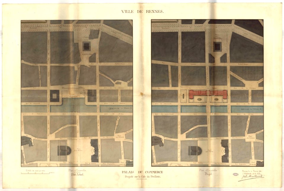
old maps of rennes
jean-baptiste martenot
rennes in the 1880s
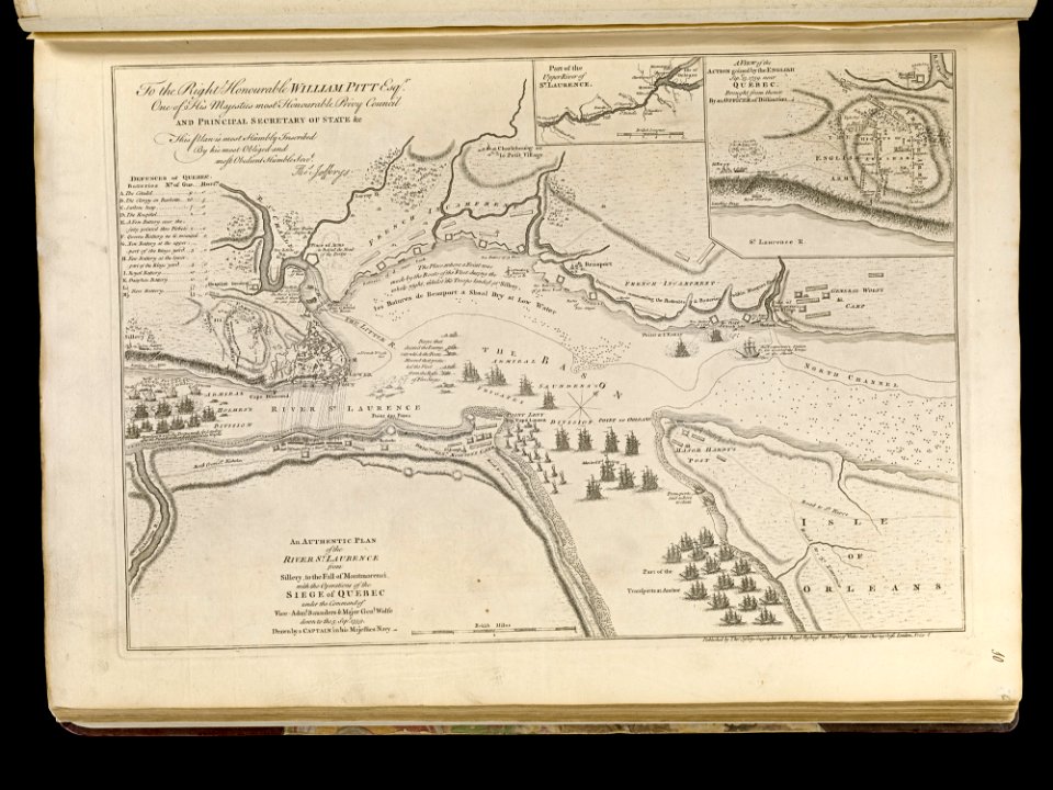
maps of the battle of the plains of abraham
1768 maps
maps made in the 18th century
paesi bassi
maps made in the 17th century
gerard valck
maps made in the 18th century
gerard valck
fonds ancely - bibliothèque municipale de toulouse - maps
old maps of hautes-pyrénées
charts and maps of the royal museums greenwich
1590 maps
maps made in the 17th century
gerard valck
maps made in the 17th century
netherlands
maps made in the 17th century
gerard valck
old maps of frankfurt am main
johann baptist homann
maps made in the 17th century
gerard valck
self-published work
ukraine
self-published work
artesian aquifer
self-published work
artesian aquifer
symbols for hydrogeological maps
self-published work
maps
gps
travel
maps
artworks with known accession number
artworks without wikidata item
maps made in the 18th century
johann baptist homann
maps made in the 17th century
gerard valck
maps made in the 17th century
gerard valck
maps made in the 17th century
jan janssonius
maps made in the 18th century
johann baptist homann
gerard valck
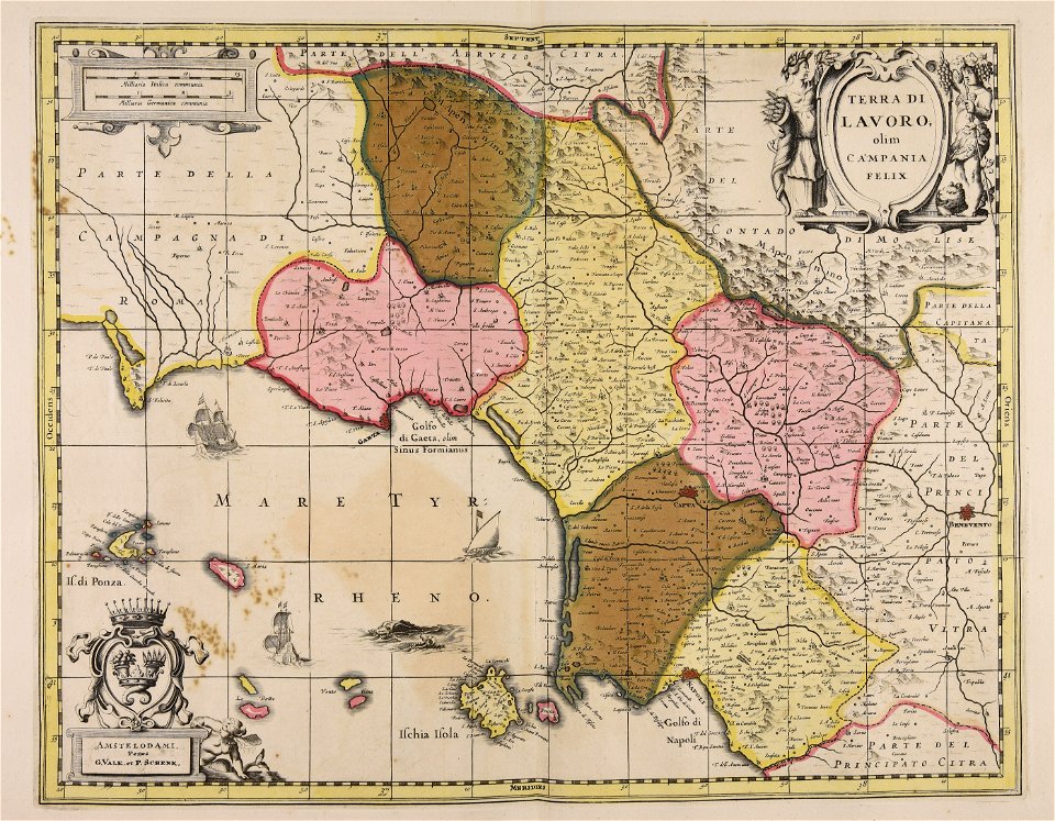
campania
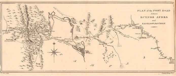
19th-century maps of argentina
1820s lithographs
maps by willem and johannes blaeu
circumvallation
prints in the royal collection of the united kingdom
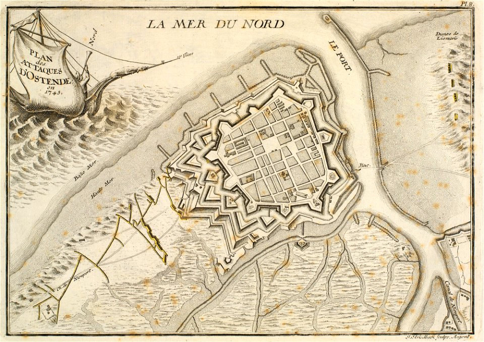
history of ostend
charts and maps of the royal museums greenwich
1590 maps
history of fashion in paris
paris in the 17th century
greater poland
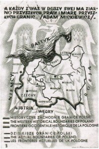
map postcards
maps made in the 17th century
frederick de wit
atlantis magni tomus tertius (biblioteca comunale di trento)
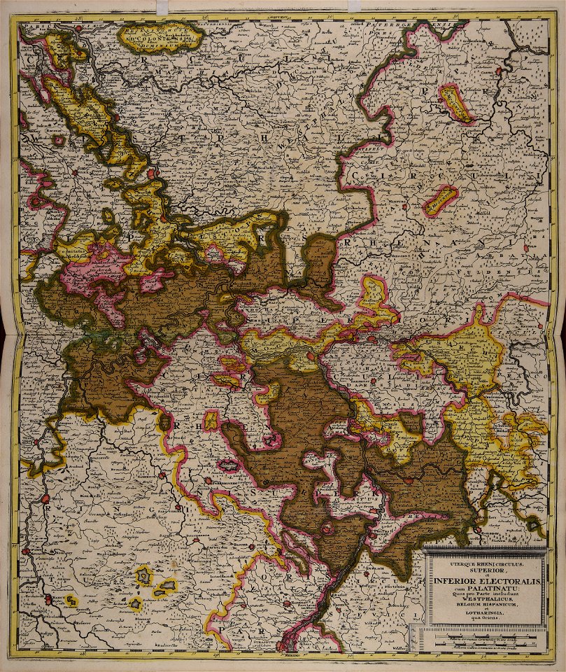
maps of territories in the electoral rhenish circle
maps with cartouches
atlas van der hagen
17th-century maps of france
maps with cartouches
maps with cartouches
old maps of genoa
old maps of amsterdam
maps with cartouches
17th-century maps of china
maps with cartouches
1872 engravings
wood engraving
atlantis magni tomus quintus (biblioteca comunale di trento)
18th-century maps of asia
müller's map of moravia
müller's map of moravia
müller's map of moravia
müller's map of moravia
müller's map of moravia
müller's map of bohemia
müller's map of moravia
müller's map of moravia
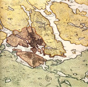
old maps of stockholm by georg biurman
drawings in the museu antônio parreiras
paintings in the museu antônio parreiras
provided by landsbókasafn íslands
old maps of iceland
provided by landsbókasafn íslands
old maps of iceland
paintings in the museu antônio parreiras
paintings in the museu antônio parreiras
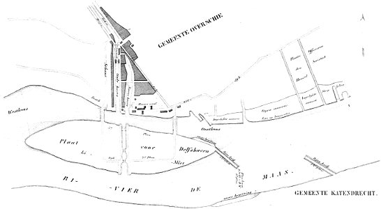
maps of delfshaven
map of gouda by jacob van deventer
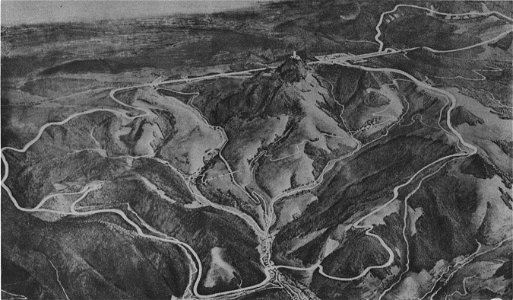
nürburgring circuit maps
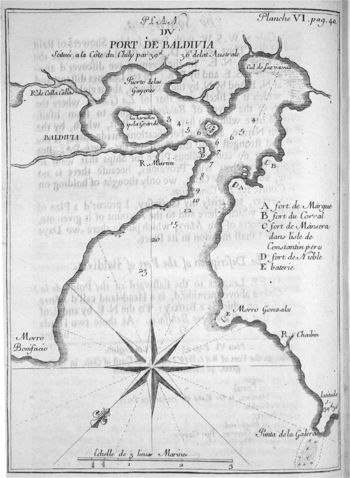
old maps of valdivia
frézier's travel
stadtbefestigung rinteln
maps of rinteln
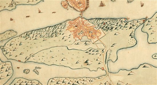
old map of stockholm 1642
södermalm
maps of bagnolet
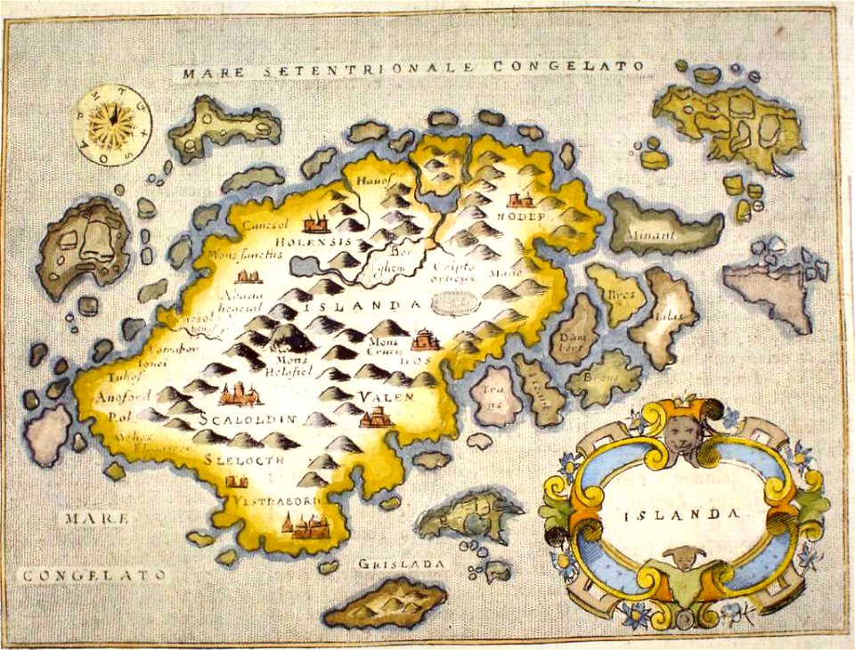
provided by landsbókasafn íslands
old maps of iceland
provided by landsbókasafn íslands
old maps of iceland
flandria illustrata
old maps of gistel
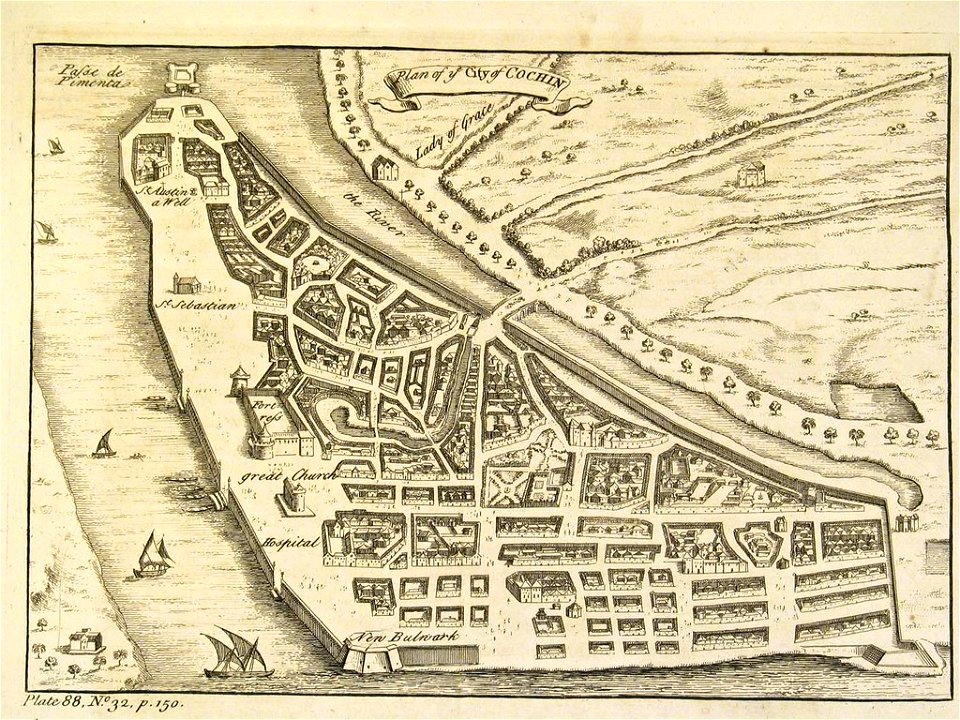
thomas salmon (historian)
old maps of india
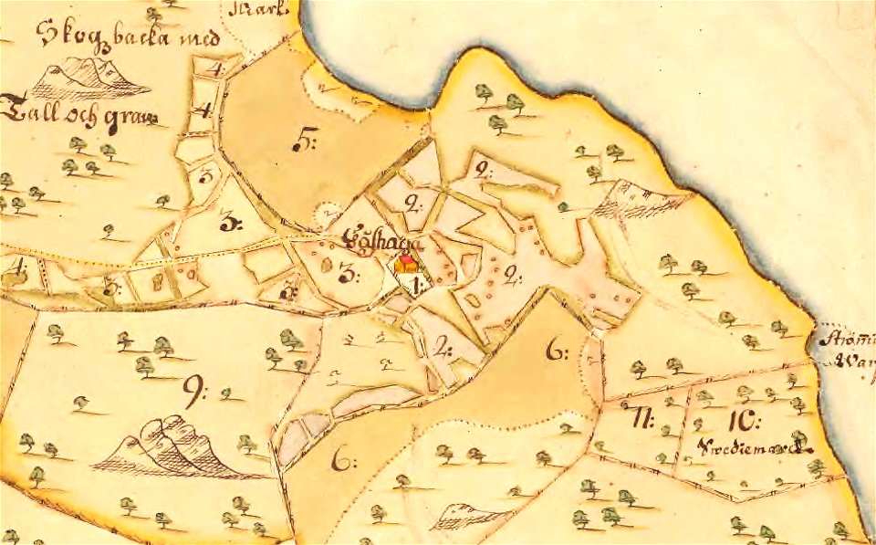
maps of lidingö
gåshaga gård
university of toronto wenceslas hollar digital collection
staffordshire
maps made in the 17th century
cornelis danckerts (i)
maps with cartouches
old maps of france
atlas van der hagen
copper engraving
maps with cartouches
atlas van der hagen
maps made in the 17th century
gerard valck
maps made in the 17th century
gerard valck
maps of waterways in the netherlands
collections of stadsarchief delft
maps made in the 17th century
gerard valck
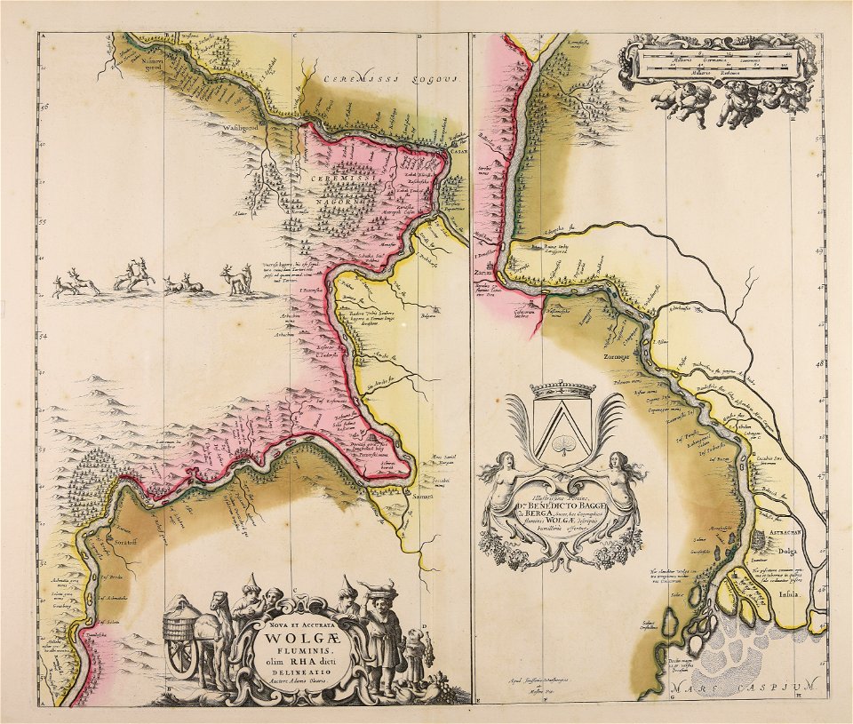
maps made in the 17th century
adam olearius
10201 - 10300 of 357,572
Next page
/ 3576