En
Log in
All resources
Create a design
Tools
16,754 Free Images of Language
bibliothèque nationale de france
history
historical
cc-zero
images from nationaal archief
👶 people & body emoji
body language
eran laor cartographic collection
images from anefo
guillaume sanson
eran laor cartographic collection
claes jansz. visscher (ii)
drawings (print room), leiden university library
ars aemula naturae, leiden university library
eran laor cartographic collection
baroque
eran laor cartographic collection
johann ulrich krauß
eran laor cartographic collection
emanuel bowen
typography
music
people
speech
ornament
heart
ornament
heart
maps of prague by joris hoefnagel
bibliothèque nationale de france
bibliothèque nationale de france
carolus allard
bibliothèque nationale de france
guillaume sanson
bibliothèque nationale de france
maps of wales by humphrey llwyd
maps by willem and johannes blaeu
1640s maps of the americas
bibliothèque nationale de france
guillaume sanson
maps by jodocus hondius ii
1630s maps of asia
situs terrae promissionis by christian van adrichom
bibliothèque nationale de france
bibliothèque nationale de france
guillaume sanson
ponti pars, ad halym, iridem thermodontemque fluvios sita, quam heroicis temporibus amazones, romanorum aetate mithridatis regnum nobilitarunt quae tandem provincia romanorum facta pontus galaticus mox... - btv1b53179345s
guillaume sanson
historical
history
historical
history
historical
history
historical
history
historical
history
map of ancient armenia by philippe de la rué
maps of antony's parthian war
18th-century maps of huntingdonshire
chorographia britanniae (1741-1742)
17th-century maps of poitou
1660s maps of france
chorographia britanniae (1741-1742)
18th-century maps of cumberland
chorographia britanniae (1741-1742)
18th-century maps of cambridgeshire
chorographia britanniae (1741-1742)
18th-century maps of lancashire
chorographia britanniae (1741-1742)
18th-century maps of northumberland
scotland's story by h. e. marshall
andrew wood of largo
18th-century maps of england and wales
chorographia britanniae (1741-1742)
18th-century maps of nottinghamshire
chorographia britanniae (1741-1742)
challenges to physical balance
self-published work
historical
history
historical
history
historical
history
historical
history
context files from gallica
history of spain
1750s maps of north america
solomon bolton
e. william gollings
lusk, wyoming
e. william gollings
lusk, wyoming
e. william gollings
lusk, wyoming
eran laor cartographic collection
thomas kitchin
charles william meredith van de velde
eran laor cartographic collection
drawings (print room), leiden university library
ars aemula naturae, leiden university library
french language
impressionism
prints (print room), leiden university library
shower of gold
charles william meredith van de velde
eran laor cartographic collection
the comprehensive history of england (1876)
english-language maps showing history
1858 van de velde maps of palestine and jerusalem
eran laor cartographic collection
the new book of the dog - a comprehensive natural history of british dogs and their foreign relatives (1911)
realism
bibliothèque nationale de france
maps by thomas kitchin
maps of portugal by fernando álvares seco
bibliothèque nationale de france
maps and topographical views by joris hoefnagel
maps of orléans by braun & hogenberg
17th-century maps of england and wales
maps by willem and johannes blaeu
maps by willem and johannes blaeu
1640 maps of africa
paphlagonia heroicis temporibus henetorum populorum sede clara, cujus paphlagonia maritima suit romanorum aetate ponti regni pars occidentalior. in qua sinope totius mithridatis regni caput - ex conatibus... - btv1b53179304p
guillaume sanson
pieter verbiest (ii)
maps from gallica
bibliothèque nationale de france
guillaume sanson
paraguay, o prov. de rio de la plata cum regionibus adiacentibus tucuman et sta cruz de la sierra - (blaeu) - btv1b8596658x
bibliothèque nationale de france
18th-century maps of kent
maps by thomas kitchin
maps of campi flegrei by braun & hogenberg
context files from gallica
bibliothèque nationale de france
guillaume sanson
bibliothèque nationale de france
maps of limousin by jean fayen
1740s maps of bavaria
johannes condet
argentorati territorium, vulgo strasburger gebiet, cum maxima episcopat. cognominis, ac occidentaliori badensis marchionatus parte, etc... auctore carolo allard... - btv1b8495312b
carolus allard
old constellation maps
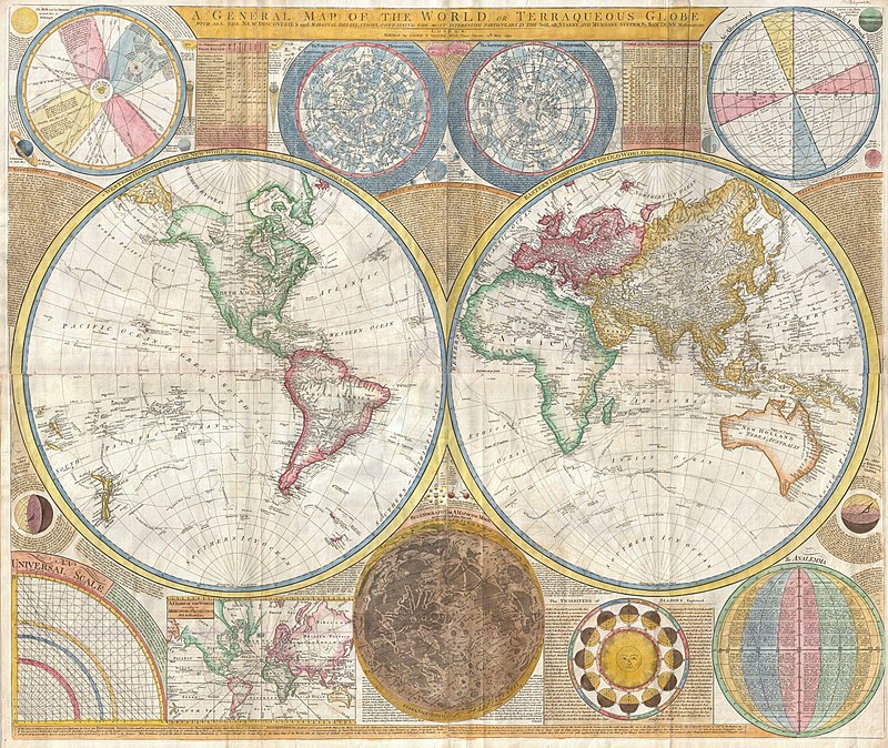
maps by samuel dunn
maps by willem and johannes blaeu
old maps of westmorland
maps of ancient italy by philipp clüver
1620s maps of italy
maps of chalon-sur-saône by braun & hogenberg
maps of mâcon by braun & hogenberg
zee kaerte van bretaigne, inhoudende die zee custen, baijen, eijlanden, ende havenen, tusschen rouscou ende groije - met grooter neersticheyt gecorrigeert door lucas iansen waghenaer van enchuijsen 1580 - btv1b53156698p
bibliothèque nationale de france
atlas sive cosmographicae (gerardus mercator, 1630)
maps of liège by baptista van doetecum
maps by willem and johannes blaeu
1640 maps of africa
zee kaerte van bretaigne, inhoudende die zee custen, baijen, eijlanden, ende havenen, tusschen rouscou ende groije - met grooter neersticheyt gecorrigeert door lucas iansen waghenaer van enchuijsen 1580 - btv1b53156698p
bibliothèque nationale de france
argentorati territorium, vulgo strasburger gebiet, cum maxima episcopat. cognominis, ac occidentaliori badensis marchionatus parte, etc... auctore carolo allard... - btv1b8495312b
carolus allard
zee kaerte van bretaigne, inhoudende die zee custen, baijen, eijlanden, ende havenen, tusschen rouscou ende groije - met grooter neersticheyt gecorrigeert door lucas iansen waghenaer van enchuijsen 1580 - btv1b53156698p
bibliothèque nationale de france
1630s maps of the holy roman empire
maps by willem and johannes blaeu
cartouche (cartography)
maps by john rocque
maps of kraków by joris hoefnagel
bibliothèque nationale de france
infographic
draft
military
army
18th-century maps of the bosphorus
joseph roux
😃 emoji
alphabet
forbidden
😃 emoji
😃 emoji
alphabet
😃 emoji
hands
😃 emoji
woman
😃 emoji
man
😃 emoji
woman
😃 emoji
finger
files using the english language
romanticism
unicycle
history
historical
history
e. william gollings
lusk, wyoming
drawings (print room), leiden university library
ars aemula naturae, leiden university library
😃 emoji
victory
😃 emoji
finger
😃 emoji
finger
14401 - 14500 of 16,754
Next page
/ 168