En
Log in
All resources
Create a design
Tools
16,754 Free Images of Language
bibliothèque nationale de france
hands
body language
👶 people & body emoji
english language
alphabet
carte generale du tres-haut, tres-puissant et tres chrestien royaume de france
🔣 symbols emoji
gesture
🙍 gestures emoji
1858 van de velde maps of palestine and jerusalem
eran laor cartographic collection
1858 van de velde maps of palestine and jerusalem
eran laor cartographic collection
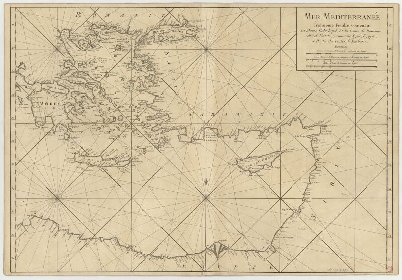
18th-century maps of the mediterranean sea
1745 maps
military
water
old maps of bouvet island
bouvet island
historical
history
historical
history
historical
history
historical
history
historical
history
dillingen an der donau
baroque
maps of ports and fortresses of the mediterranean by marco boschini (1651)
old maps of souda (crete)
maps of the iberian peninsula by guillaume delisle
1700s maps of the iberian peninsula
18th-century maps of strasbourg
1740s maps of france
military
army
map of the circle of austria by sanson
1700s maps of austria
maps by jakob van der schley
old maps of stralsund
eran laor cartographic collection
alexis-hubert jaillot
maps of the iberian peninsula by guillaume delisle
1700s maps of the iberian peninsula
1640s maps of greece
marco boschini
atlas van der hagen (volume 4)
atlas van der hagen
maps of the islands of greece by marco boschini (1658)
context files from gallica
drawings (print room), leiden university library
paintings of horses
john williams (missionary)
1837 books
world war i posters in the library of congress
library of congress artist posters collection
19th-century maps of nièvre
1852 maps of france
ornament
heart
18th-century maps of the strait of magellan
1700s maps of argentina
scotland's story by h. e. marshall
edinburgh in the 17th century
eran laor cartographic collection
willem albert bachiene
1600 maps of africa
benjamin wright
wmf agora icon set
keyboard icons
plants
tree
carte generale du tres-haut, tres-puissant et tres chrestien royaume de france
bibliothèque nationale de france
17th-century maps of egypt
philippe de la rué
italia - di matteo greuter - btv1b53041991c
bibliothèque nationale de france
maps by pieter mortier
maps from gallica
presa delle dua galere di biserta fatta dalle galere della sacra relig(io)ne di s. stefano ( ) - stefan(o) della bella f(ecit) - btv1b531704111
baroque
italia - di matteo greuter - btv1b53041991c
bibliothèque nationale de france
carte generale du tres-haut, tres-puissant et tres chrestien royaume de france
bibliothèque nationale de france
bibliothèque nationale de france
1698 map of evesché de meaux
carte generale du tres-haut, tres-puissant et tres chrestien royaume de france
bibliothèque nationale de france
carte generale du tres-haut, tres-puissant et tres chrestien royaume de france
bibliothèque nationale de france
partie du duché de milan, la principauté de piemont, le montferrat, la république de genes... - hubert jaillot - btv1b53177614j
reverse sides from gallica
carte generale du tres-haut, tres-puissant et tres chrestien royaume de france
bibliothèque nationale de france
georg balthasar probst (1732-1801)
bibliothèque nationale de france
italia - di matteo greuter - btv1b53041991c
bibliothèque nationale de france
carte de la mer méditerranée en trois feuilles (dheulland et al.)
18th-century maps of the eastern mediterranean
carte de la prevoste et vicomte de paris by guillaume delisle (1711)
atlas géographique des quatre parties du monde (delisle)
le duché de clèves, la seigneurie de ravenstein et le comté de meurs... - par le sr sanson... - btv1b53202428c
guillaume sanson
old maps of duchy of cleves
guillaume sanson
maps of the islands of greece by marco boschini (1658)
old maps of the lesser cyclades
presa delle dua galere di biserta fatta dalle galere della sacra relig(io)ne di s. stefano ( ) - stefan(o) della bella f(ecit) - btv1b531704111
baroque
evesché du puy le velay l'un des vingt deux diocèses du languedoc - dressé sur plusieurs memoires. par le sr. sanson - btv1b53179543n
guillaume sanson
bibliothèque nationale de france
félix robaut
presa delle dua galere di biserta fatta dalle galere della sacra relig(io)ne di s. stefano ( ) - stefan(o) della bella f(ecit) - btv1b531704111
baroque
carte generale du tres-haut, tres-puissant et tres chrestien royaume de france
bibliothèque nationale de france
carte generale du tres-haut, tres-puissant et tres chrestien royaume de france
bibliothèque nationale de france
les duchés de cleves, juliers, limbourg (etc.) by jaillot
bibliothèque nationale de france
italia - di matteo greuter - btv1b53041991c
bibliothèque nationale de france
prints (print room), leiden university library
poseidon in art
military history of the british empire
j. r. skelton
zinne-beelden oft adams appel (1642)
dutch language
prints (print room), leiden university library
prints by johannes josephus aarts
maps of ardales by braun & hogenberg
17th-century engravings of towns
maps by john cary
county of tyrol
drawings (print room), leiden university library
ars aemula naturae, leiden university library
1836 maps of africa
ambroise tardieu
😃 emoji
alphabet
forbidden
😃 emoji
😃 emoji
alphabet
😃 emoji
hands
😃 emoji
woman
😃 emoji
man
😃 emoji
woman
😃 emoji
finger
map of the upper rhenian circle by sanson
1680s maps of north rhine-westphalia
1660s maps of france
maps of lyonnais
19th-century oil paintings in the netherlands
joods historisch museum
abel faivre
ensor (delteil 097)
taking physick
alfred-henri darjou
a rapid french course for students in evening classes, private students, and others (1917)
historical images of monument à la république
book covers from the netherlands
covers of books about history
music
rock
typography
music
symbol
flag
stickers
symbol
male
job
ornament
heart
ornament
heart
😃 emoji
alphabet
😃 emoji
hands
😃 emoji
alphabet
😃 emoji
face
😃 emoji
face
😃 emoji
alphabet
😃 emoji
finger
finger
hands
14201 - 14300 of 16,754
Next page
/ 168