En
Log in
All resources
Create a design
Tools
16,754 Free Images of Language
bibliothèque nationale de france
marco boschini
maps of ports and fortresses of the mediterranean by marco boschini (1651)
maps of spain by tomas lopez
atlas géographique des quatre parties du monde (delisle)
guillaume sanson
a rapid french course for students in evening classes, private students, and others (1917)
1777 maps of spain
old maps of asturias
maps from gallica
old maps of asturias
1777 maps of spain
1760s maps of the americas
1760 maps
17th-century maps of dordogne
philippe de la rué
landais & oberthur
maps from gallica
la rioja (spain) in the 18th century
old maps of la rioja (spain)
atlas géographique des quatre parties du monde (delisle)
18th-century maps of the iberian peninsula
maps of spain by tomas lopez
old maps of guadeloupe
eran laor cartographic collection
claes jansz. visscher (ii)
maps of alcanerilla by braun & hogenberg
context files from gallica
maps of ancient israel by philippe de la rué
eran laor cartographic collection
1750s maps of the netherlands
18th-century maps of zeeland
old maps of katwijk, south holland
brittenburg
john williams (missionary)
1837 books
elephant riding in art of india
illustrations by warwick goble
illustrations by warwick goble
indian myth and legend (1913)
daniel de la feuille
1706 maps of italy
english-language books about london
crosby hall
our empire story by h. e. marshall
j. r. skelton
henry william bunbury
the gout (gillray)
a rapid french course for students in evening classes, private students, and others (1917)
a rapid french course for students in evening classes, private students, and others (1917)
a rapid french course for students in evening classes, private students, and others (1917)
a rapid french course for students in evening classes, private students, and others (1917)
the history and antiquities of london, westminster, southwark and parts adjacent
english-language books about london
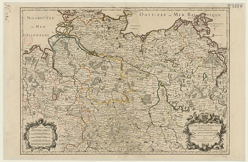
map of the circle of lower saxony by sanson
bibliothèque nationale de france
sanson map of the german empire (17th century)
sanson maps of the circles of germany
atlas géographique des quatre parties du monde (delisle)
18th-century maps of france
maps of ports and fortresses of the mediterranean by marco boschini (1651)
bibliothèque nationale de france
alsace-lorraine. carte départementale. moselle, meurthe, bas-rhin, haut-rhin - btv1b85935488
bibliothèque nationale de france
maps of ports and fortresses of the mediterranean by marco boschini (1651)
old maps of kythira
bibliothèque nationale de france
guillaume sanson
general charte der in den herzoglich bremen - und verdenschen aemtern und gerichten ottersberg, osterholtz, lilienthal, bremervörde, rotenburg und achim belegenen mööre, und der seit 1750 darin... - btv1b531196435
bibliothèque nationale de france
partie méridionale des estats de savoye ou sont le duché de savoye - par le sr sanson d'abbeville - btv1b530430656
guillaume sanson
bibliothèque nationale de france
guillaume sanson
atlas géographique des quatre parties du monde (delisle)
folded maps
abbildung des ohrts iringen und wie selbiger von georg fridrichen margrafen zu baden verschantzet worden, anno 1621 - btv1b53238701j
baroque
maps of ports and fortresses of the mediterranean by marco boschini (1651)
bibliothèque nationale de france
alsace-lorraine. carte départementale. moselle, meurthe, bas-rhin, haut-rhin - btv1b85935488
bibliothèque nationale de france
bibliothèque nationale de france
cartouches by tomas lópez
carte de la mer méditerranée en trois feuilles (dheulland et al.)
18th-century maps of the western mediterranean
johannes leupenius
jacobus robijn
carte de l'alsace by sanson (1703)
bibliothèque nationale de france
maps of ports and fortresses of the mediterranean by marco boschini (1651)
bibliothèque nationale de france
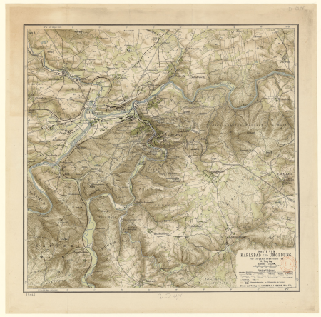
gustav freytag (cartographer)
old maps of karlovy vary
maps of ports and fortresses of the mediterranean by marco boschini (1651)
bibliothèque nationale de france
atlas géographique des quatre parties du monde (delisle)
map of europe by guillaume delisle (1700)
map of the circle of franconia by sanson
bibliothèque nationale de france
maps of ports and fortresses of the mediterranean by marco boschini (1651)
bibliothèque nationale de france
carte de la moldavie pour servir à l'histoire militaire de la guerre entre les russes et les turcs - levés par l'etat-major sous la direction de f.g. de bawz... echelle de 10 heures de moldavie, 50... - btv1b53100577d
leonard schenk jansz.
maps of ports and fortresses of the mediterranean by marco boschini (1651)
bibliothèque nationale de france
general charte der in den herzoglich bremen - und verdenschen aemtern und gerichten ottersberg, osterholtz, lilienthal, bremervörde, rotenburg und achim belegenen mööre, und der seit 1750 darin... - btv1b531196435
bibliothèque nationale de france
bibliothèque nationale de france
prints by martin engelbrecht
maps of cadiz by braun & hogenberg
bibliothèque nationale de france
atlas géographique des quatre parties du monde (delisle)
18th-century maps of africa
maps from gallica
guides joanne
maps by alexis-hubert jaillot
old maps of duchy of cleves
alsace-lorraine. carte départementale. moselle, meurthe, bas-rhin, haut-rhin - btv1b85935488
bibliothèque nationale de france
maps of ports and fortresses of the mediterranean by marco boschini (1651)
bibliothèque nationale de france
atlas géographique des quatre parties du monde (delisle)
18th-century maps of the world
general charte der in den herzoglich bremen - und verdenschen aemtern und gerichten ottersberg, osterholtz, lilienthal, bremervörde, rotenburg und achim belegenen mööre, und der seit 1750 darin... - btv1b531196435
bibliothèque nationale de france
bibliothèque nationale de france
guillaume sanson
carte de barbarie, nigritie, guinée par guillaume delisle (1707)
bibliothèque nationale de france
maps of ports and fortresses of the mediterranean by marco boschini (1651)
bibliothèque nationale de france
spanish-language maps
1785 maps
1800 maps of the atlantic ocean
1800s maps of the americas
17th-century maps of the british isles
maps by abraham ortelius
maps of ancient italy by philipp clüver
maps of ancient sicily
1770 illustrations
1770 books
17th-century maps of scotland
maps of islay
maps by willem and johannes blaeu
1640s maps of ukraine
cartouche (cartography)
nicholas tindal
magni ducatus lithuaniae
maps facing west
high renaissance
pirro ligorio
1840s maps showing history
maps by thomas starling
maps of mombasa by braun & hogenberg
maps of cefala by braun & hogenberg
maps of neuss by braun & hogenberg
maps of bonn by braun & hogenberg
victor levasseur - maps of france
old maps of meurthe (department)
map of the upper rhenian circle by sanson
1670s maps of hesse
(lettre autographe signée d'andré saglio, dit drésa, à jacques rouché, 21 mars 1919) (manuscrit autographe) - btv1b53150676w
andré saglio
old maps of norway
guillaume sanson
maps of the islands of greece by marco boschini (1658)
old maps of the peloponnese
context files from gallica
history of icaria
17th-century maps of the strait of magellan
1668 maps of south america
francesco nicolini
old maps of ikaria
old maps of the balearic islands
maps of spain by tomas lopez
1698 map of evesché de meaux
robert cordier (engraver)
maps by guillaume sanson
old maps of friesland
maps of spain by tomas lopez
1768 maps of spain
letterhead
draft
maps by nicolas sanson
red ruthenia
map of the upper rhenian circle by sanson
1700s maps of north rhine-westphalia
old maps of asturias
1777 maps of spain
maps of los palacios by braun & hogenberg
maps of las cabezas by braun & hogenberg
maps from gallica
guides joanne
old maps of asturias
1777 maps of spain
maps of spain by tomas lopez
1769 maps of spain
1780s maps of tunisia
1780s maps of libya
drawings (print room), leiden university library
jan gerard smits
finger
hands
13501 - 13600 of 16,754
Next page
/ 168