En
Log in
All resources
Create a design
Tools
16,754 Free Images of Language
bibliothèque nationale de france
historical
cc-zero
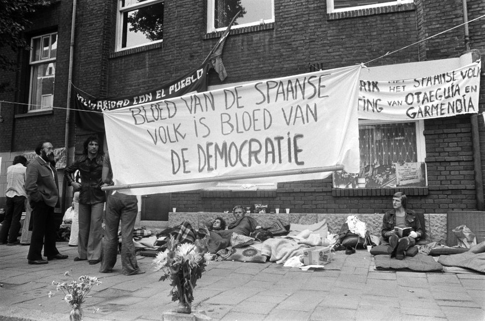
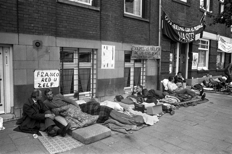
images from nationaal archief
history
images from anefo
uncategorized media with description in dutch language
photographs by unknown photographer from anefo
alphabet
letter
maps of ancona by braun & hogenberg
bibliothèque nationale de france
maps of morocco by mercator-hondius
bibliothèque nationale de france
maps of arras by braun & hogenberg
bibliothèque nationale de france
maps of aachen by braun & hogenberg
bibliothèque nationale de france
maps of provence by pierre-jean de bompar
baptista van doetecum
territorium argentoratense (1652 map)
bibliothèque nationale de france
maps of rotterdam by braun & hogenberg
maps of gouda by braun & hogenberg
maps by matthäus merian
baroque
bibliothèque nationale de france
guillaume sanson
pamphilia et pisidia - conatibus geographicis gulielmi sanson nicolai filij - btv1b8495426q
guillaume sanson
bibliothèque nationale de france
guillaume sanson
maps of the islands of greece by marco boschini (1658)
old maps of skyros
bibliothèque nationale de france
guillaume sanson
maps of abyssinia by mercator-hondius
cartouches by gerardus mercator
pamphilia et pisidia - conatibus geographicis gulielmi sanson nicolai filij - btv1b8495426q
guillaume sanson
nova orbis terrarum geographica ac hydrographica tabula ex optimis in hoc opere auctoribus desumpta - auctore petro koerio - btv1b72002625
bibliothèque nationale de france
maps of portugal by fernando álvares seco
bibliothèque nationale de france
maps of the islands of greece by marco boschini (1658)
old maps of lemnos
maps of heraklion by braun & hogenberg
maps of corfu by braun & hogenberg
maps of avignon by braun & hogenberg
bibliothèque nationale de france
maps of ancona by braun & hogenberg
bibliothèque nationale de france
bibliothèque nationale de france
guillaume sanson
maps by willem and johannes blaeu
17th-century maps of lorraine
maps of bristol by braun & hogenberg
bibliothèque nationale de france
maps of île-de-france by françois de la guillotière
bibliothèque nationale de france
maps of cairo by braun & hogenberg
bibliothèque nationale de france
map of the strait of kerch by guillaume sanson
bibliothèque nationale de france
bibliothèque nationale de france
guillaume sanson
map of the strait of kerch by guillaume sanson
bibliothèque nationale de france
damayanti and the hamsa
swans in art of india
maps of the land of valkenburg
guillaume sanson
17th-century maps of the strait of magellan
maps by nicolas sanson
background
school
world war i posters in the library of congress
austria in world war i
theatre posters of russia
russian-language posters
historical
history
historical
history
historical
history
historical
history
historical
history
historical
history
historical
history
historical
history
historical
history
historical
history
historical
history
scotland's story by h. e. marshall
battle of bannockburn
scotland's story by h. e. marshall
history of scotland
poikilē stoa: ethnikē eikonographēnenē epetēris ... etos 1-16, 1881-1914 (1881)
nikolaos dragoumis
ústřední matice školská
pavel körber
eran laor cartographic collection
willem albert bachiene
low german language
fritz reuter
children
army
italian-language posters
ottavio rodella tavio
fish
maps
fish
maps
astronomy
maps
astronomy
maps
astronomy
maps
historical
history
historical
history
historical
history
historical
history
character
alphabet
ribbon
blue
ribbon
blue
alphabet
ribbon
ornament
wine
ribbon
blue
ornament
wine
alphabet
ribbon
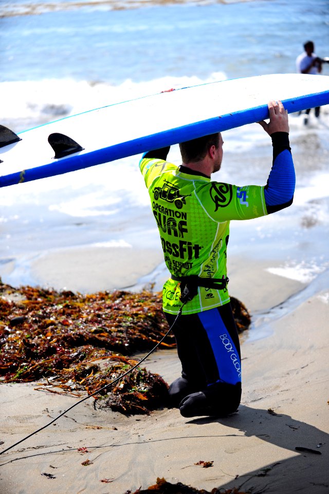
military
surfing
background
school
historical
history
historical
history
historical
history
historical
history
historical
skiptag
maps by jan eduard wagner
františek kytka
maps of the basque autonomous community
1770 maps of spain
map of the circle of austria by sanson
1670s maps of austria
old maps of genoa
nicolò armanino
eran laor cartographic collection
pieter schenk (ii)
eran laor cartographic collection
emanuel bowen
eran laor cartographic collection
emanuel bowen
eran laor cartographic collection
willem albert bachiene
17th-century double hemisphere world maps
1610s maps of the world
poincaré-clemenceau medal
medals of france
maps by alexis-hubert jaillot
maps by nicolas sanson
eriocapitella hupehensis - botanical illustrations
flora by h. witte (pngs)
maps of the land of valkenburg
guillaume sanson
maps from university of amsterdam special collections
atlas der neederlanden
astronomy
maps
latin for beginners (1911)
daedalus and icarus
paintings of arjuna
ulupi
alphabet
ribbon
maps of spain by tomas lopez
1765 maps of spain
1770s maps of the world
1775 maps
manuscripts from gallica
charles nuitter
maps of the province of ávila
maps of spain by tomas lopez
12401 - 12500 of 16,754
Next page
/ 168