En
Log in
All resources
Create a design
Tools
8,109 Free Images of Isle
england
united kingdom
sport
sea
water
ocean
cornwall and isles of scilly
description des principales villes (1690)
jacob peeters
game
19th-century maps of the british isles
arnold's geographical handbook (1899)
maps in the british museum
old maps of hampshire
atlas maior, vol 5 (england) - joan blaeu, 1667 - bl 114.h(star).5
17th-century maps of the isle of man
children
aunt
islands
roman
islands
rock
islands
food
landscape
summer
water
beach
landscape
sea
travel
sea
vehicle
water
golden
beach
water
boat
travel
summer
landscape
grass
united kingdom
hook
water
sea
water
sea
water
sea
spring
plants
animals
water
animals
travel
paintings by george wesley bellows
ashcan school,american realism
shoreline
water
fort moultrie
checkflickr2
fort moultrie
checkflickr2
fort moultrie
checkflickr2
grass
sport
sport
team
stadium
sport
sport
game
sport
team
vehicle
history
maps by louis brion de la tour
1782 maps of the caribbean
england on photochrome prints
lakes of england
landscape
water
grass
sport
monochrome
people
sport
game
sport
game
vehicle
water
ship
sea
ocean
sea
fort moultrie
checkflickr2
historical
history
historical
history
paintings by carl von steuben
paintings of napoleon i
description des principales villes (1690)
sestos
atlas sive cosmographicae (gerardus mercator, 1623)
maps of the british isles by gerardus mercator
eight views of the mauritius comprising the positions of the british army, 1810
isle de france (mauritius)
17th-century maps of the strait of magellan
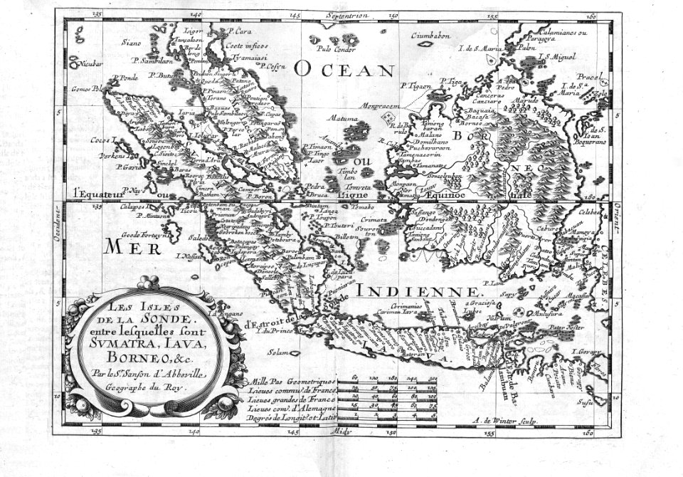
maps by nicolas sanson
eight views of the mauritius comprising the positions of the british army, 1810
isle de france (mauritius)
eight views of the mauritius comprising the positions of the british army, 1810
isle de france (mauritius)
skyline
water
underwater
sea
agriculture
grass
england
light
carta hydrographica y chorographica de las yslas filipinas
baroque painting
sport
game
sport
game
sport
game
sport
game
sport
game
landscape
medieval
the antiquities of athens, vol. iv
greek revival architecture
description des principales villes (1690)
old maps of santa maura
description des principales villes (1690)
engravings of mystras
description des principales villes (1690)
durrës in the 17th century
self catering
1960s
landscape
rock
hockey
sport
hockey
sport
hockey
sport
england
light
animals
travel
hockey
sport
spring
water
wildlife
spring
maps by pieter mortier
old maps of asia
description des principales villes (1690)
historical images of patras
description des principales villes (1690)
crete in art
description des principales villes (1690)
maps of spinalonga
the atlantic islands as resorts of health and pleasure (1878)
isles of shoals
description des principales villes (1690)
history of baghdad
nature
spring
hockey
sport
hockey
sport
hockey
sport
hockey
sport
landscape
rock
water
sea
travel
sea
water
boat
prints by george harley in the british museum
lithographs in the british museum
cartography
maps
description des principales villes (1690)
mount tabor
the antiquities of athens, vol. iv
greek revival architecture
description des principales villes (1690)
maps of kotor
description des principales villes (1690)
abydos (hellespont)
7001 - 7100 of 8,109
Next page
/ 82