En
Log in
All resources
Create a design
Tools
38,380 Free Images of Atlas
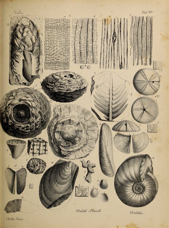
paleontology
maps from university of amsterdam special collections
atlas der neederlanden
copperplate print
special collections of the university of amsterdam
geology
stratigraphic
university of toronto - gerstein science information centre
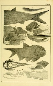
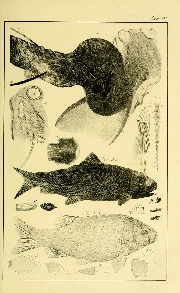
lethaea geognostica : th.1 atlas
fish
smithsonian libraries
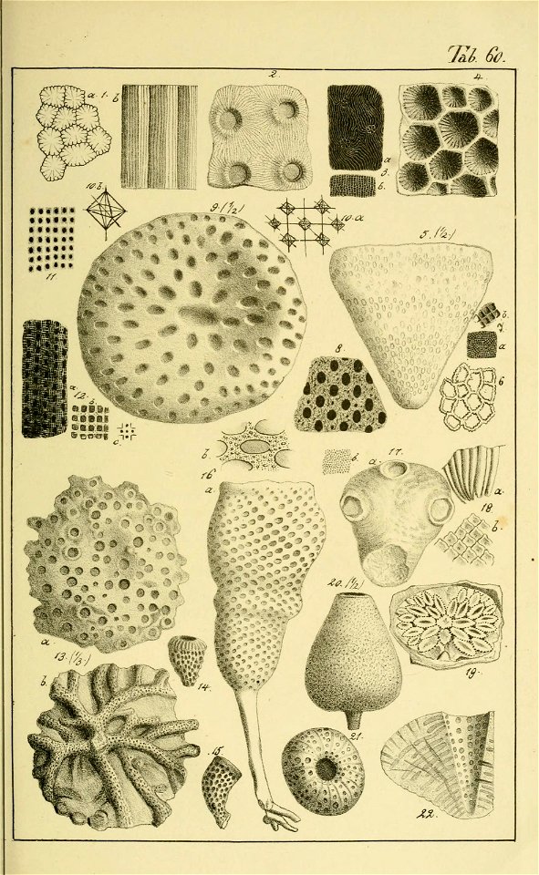
cnidaria
smithsonian libraries
cnidaria
smithsonian libraries
cnidaria
smithsonian libraries
cnidaria
smithsonian libraries
cnidaria
smithsonian libraries
cnidaria
smithsonian libraries
cnidaria
smithsonian libraries
cnidaria
smithsonian libraries
cnidaria
smithsonian libraries
cnidaria
smithsonian libraries
cnidaria
smithsonian libraries
cnidaria
paleontology
fossil
paleontology
fossil
paleontology
fossil
paleontology
fossil
paleontology
fossil
paleontology
fossil
harvard university
ernst mayr library
mollusk
fossil
mollusk
fossil
paleontology
geology
paleontology
geology
paleontology
geology
paleontology
geology
paleontology
geology
paleontology
geology
paleontology
geology
paleontology
geology
paleontology
geology
paleontology
geology
paleontology
geology
paleontology
geology
egypt
fish
egypt
fish
egypt
fish
egypt
fish
egypt
fish
great britain
fish
great britain
fish
great britain
fish
great britain
fish
great britain
fish
great britain
fish
great britain
fish
great britain
fish
great britain
fish
great britain
fish
great britain
fish
great britain
fish
harvard university
fossil
harvard university
fossil
paleontology
geology
paleontology
geology
paleontology
geology
paleontology
geology
paleontology
geology
smithsonian libraries
cnidaria
smithsonian libraries
cnidaria
maps from university of amsterdam special collections
atlas der neederlanden
maps from university of amsterdam special collections
atlas der neederlanden
maps from university of amsterdam special collections
atlas der neederlanden
maps from university of amsterdam special collections
atlas der neederlanden
maps from university of amsterdam special collections
atlas der neederlanden
maps from university of amsterdam special collections
atlas der neederlanden
maps from university of amsterdam special collections
atlas der neederlanden
prints in the stadsarchief amsterdam
works by reinier vinkeles
hortus botanicus amsterdam
willem hekking
gemeente atlas van nederland - south holland
1860s maps of south holland
works after francis barlow
john ogilby
dictionnaire universel d'histoire naturelle
pages of books about natural history
photographs by willem van de poll in amsterdam (1933)
dutch baroque architecture
maps from university of amsterdam special collections
atlas der neederlanden
maps from university of amsterdam special collections
atlas der neederlanden
maps from university of amsterdam special collections
atlas der neederlanden
maps from university of amsterdam special collections
atlas der neederlanden
maps from university of amsterdam special collections
atlas der neederlanden
maps by willem and johannes blaeu
1660s maps of the americas
maps by willem and johannes blaeu
atlas van loon
maps from university of amsterdam special collections
atlas der neederlanden
maps from university of amsterdam special collections
atlas der neederlanden
maps from university of amsterdam special collections
atlas der neederlanden
maps from university of amsterdam special collections
atlas der neederlanden
maps from university of amsterdam special collections
atlas der neederlanden
maps from university of amsterdam special collections
atlas der neederlanden
dutch 17th-century prints in the rijksmuseum amsterdam
siege of moers 1597
historical
history
uncategorized images of the rijksmuseum
johan michaël schmidt crans
gemeente atlas van nederland - groningen
old maps of groningen (city)
burgerzaal with view to atlas
dutch baroque architecture
maps from university of amsterdam special collections
atlas der neederlanden
maps by willem and johannes blaeu
catalan atlas
gemeente atlas van nederland - north brabant
maps of loon op zand
gemeente atlas van nederland - south holland
19th-century maps of rotterdam
building
army
historical
history
maps of san juan, puerto rico
atlas blaeu-van der hem
david rumsey historical map collection
1790s maps of the holy roman empire
maps by christian sgrothen
inde (river)
15601 - 15700 of 38,380
Next page
/ 384