En
Log in
All resources
Create a design
Tools
16,608 Free Images of 1878
maps from the earth and its inhabitants, vol. iv
maps from the earth and its inhabitants, vol. v
maps from the earth and its inhabitants, vol. xii
maps from the earth and its inhabitants, vol. viii
maps from the earth and its inhabitants, vol. xvii
maps from the earth and its inhabitants, vol. vi
maps from the earth and its inhabitants, vol. xvi
maps from the earth and its inhabitants, vol. ix
maps from the earth and its inhabitants, vol. iii
maps from the earth and its inhabitants, vol. xiii
maps from the earth and its inhabitants, vol. iv
19th-century maps of lincolnshire
maps from the earth and its inhabitants, vol. xiii
maps of the history of south africa
maps from the earth and its inhabitants, vol. v
old maps of bornholm
maps from the earth and its inhabitants, vol. vi
atmospheric pressure maps
maps from the earth and its inhabitants, vol. xi
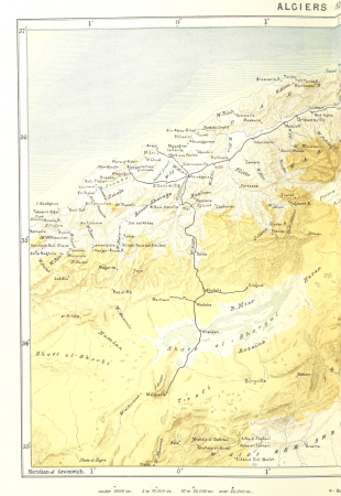
1870s maps of algeria
maps from the earth and its inhabitants, vol. x
19th-century maps of sudan
maps from the earth and its inhabitants, vol. vi
religion maps of asia
maps from the earth and its inhabitants, vol. xvi
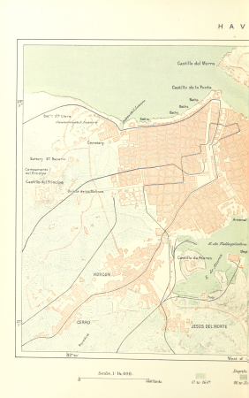
19th-century maps of havana
maps from the earth and its inhabitants, vol. xiii
maps of port elizabeth
maps from the earth and its inhabitants, vol. xii
19th-century maps of senegal
maps from the earth and its inhabitants, vol. iv
old maps of reading, berkshire
maps from the earth and its inhabitants, vol. xv
maps of viking exploration
maps from the earth and its inhabitants, vol. ix
maps of the hindu kush
maps from the earth and its inhabitants, vol. x
topographic maps of africa
maps from the earth and its inhabitants, vol. xiv
saint-pierre (saint-pierre-et-miquelon)
maps from the earth and its inhabitants, vol. xvi
topographic maps of mexico
maps from the earth and its inhabitants, vol. viii
old maps of kashmir
maps from the earth and its inhabitants, vol. xvi
19th-century maps of mexico city
old maps of reaches or the estuary of the river thames
maps from the earth and its inhabitants, vol. iv
maps from the earth and its inhabitants, vol. xi
old maps of tripoli
maps from the earth and its inhabitants, vol. xviii
population density maps of south america
maps from the earth and its inhabitants, vol. v
old maps of the black sea
maps from the earth and its inhabitants, vol. xvi
19th-century maps of guadeloupe
elements of conchology (1890)
lovell augustus reeve
maps from the earth and its inhabitants, vol. xii
maps of the congo river
maps from the earth and its inhabitants, vol. iv
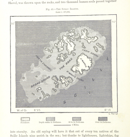
maps of the scilly islands
maps from the earth and its inhabitants, vol. vi
bathymetric maps of the caspian sea
maps from the earth and its inhabitants, vol. ix
old maps of medina
maps from the earth and its inhabitants, vol. v
population density maps of europe
maps from the earth and its inhabitants, vol. iv
19th-century maps of gloucestershire
maps from the earth and its inhabitants, vol. iii
old maps of rijeka
maps from the earth and its inhabitants, vol. iv
old maps of lindisfarne
maps from the earth and its inhabitants, vol. iv
maps of the british isles
maps from the earth and its inhabitants, vol. xv
19th-century maps of quebec
maps from the earth and its inhabitants, vol. iv
old maps of hartlepool
elements of conchology (1890)
lovell augustus reeve
maps from the earth and its inhabitants, vol. iv
19th-century maps of warwickshire
maps from the earth and its inhabitants, vol. iv
19th-century maps of kent
maps from the earth and its inhabitants, vol. xviii
geology of south america
maps from the earth and its inhabitants, vol. ix
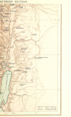
1870s maps of palestine
narrative of the arctic land expedition to the mouth of the great fish river - and along the shores of the arctic ocean, in the years, 1833, 1834, and 1835 (1836)
maps from the earth and its inhabitants, vol. xiv
maps of easter island
ornithological miscellany (1876 book)
maps from the earth and its inhabitants, vol. xvii
19th-century maps of san francisco
maps from the earth and its inhabitants, vol. vii
old maps of tokyo
ornithological miscellany (1876 book)
maps from the earth and its inhabitants, vol. viii
ernst georg ravenstein
maps from the earth and its inhabitants, vol. iii
old maps of trieste
maps from the earth and its inhabitants, vol. iv
maps of the british isles
maps from the earth and its inhabitants, vol. xii
são miguel (azores)
maps from the earth and its inhabitants, vol. xvi
maps of agriculture in mexico
maps from the earth and its inhabitants, vol. iv
19th-century maps of the isle of man
maps from the earth and its inhabitants, vol. xvii
maps of native american tribal territories
maps from the earth and its inhabitants, vol. vii
old maps of xi'an
ornithological miscellany (1876 book)
maps from the earth and its inhabitants, vol. iv
19th-century maps of the isle of wight
maps from the earth and its inhabitants, vol. iv
old maps of the orkney islands
maps from the earth and its inhabitants, vol. iv
old maps of shrewsbury
maps from the earth and its inhabitants, vol. xvii
1870s maps of the united states
maps from the earth and its inhabitants, vol. v
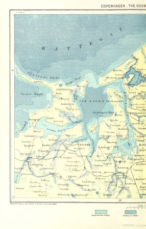
19th-century maps of copenhagen
maps from the earth and its inhabitants, vol. xiii
maps of the kingdom of kongo
maps from the earth and its inhabitants, vol. xii
bathymetric maps of the atlantic ocean
ornithological miscellany (1876 book)
maps from the earth and its inhabitants, vol. vii
maps of the yellow river
maps from the earth and its inhabitants, vol. ix
kelat-i-ghilzai
maps from the earth and its inhabitants, vol. xviii
topographic maps of colombia
maps from the earth and its inhabitants, vol. vii
maps of weather and climate of china
maps from the earth and its inhabitants, vol. vi
geology of the caucasus mountains
elements of conchology (1890)
lovell augustus reeve
maps from the earth and its inhabitants, vol. iii
old maps of pula
maps from the earth and its inhabitants, vol. viii
charles eugène perron
maps from the earth and its inhabitants, vol. xi
ain el-turk
maps from the earth and its inhabitants, vol. xiv
1870s maps of hawaii
maps from the earth and its inhabitants, vol. xvii
united states geological survey
narrative of the arctic land expedition to the mouth of the great fish river - and along the shores of the arctic ocean, in the years, 1833, 1834, and 1835 (1836)
maps from the earth and its inhabitants, vol. iii
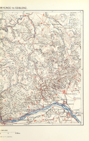
old maps of the rhine
maps from the earth and its inhabitants, vol. v
19th-century maps of copenhagen
maps from the earth and its inhabitants, vol. iv
1870s maps of the british isles
elements of conchology (1890)
lovell augustus reeve
maps from the earth and its inhabitants, vol. v
19th-century maps of crimea
maps from the earth and its inhabitants, vol. xviii
19th-century maps of trinidad and tobago
maps from the earth and its inhabitants, vol. viii
religion maps of india
maps from the earth and its inhabitants, vol. x
old maps of africa
maps from the earth and its inhabitants, vol. xvii
maps of the history of the united states
maps from the earth and its inhabitants, vol. iii
old maps of hamburg
maps from the earth and its inhabitants, vol. viii
charles eugène perron
maps from the earth and its inhabitants, vol. xii
maps of the congo river
maps from the earth and its inhabitants, vol. xvii
mississippi delta
maps from the earth and its inhabitants, vol. xii
maps of trade winds
maps from the earth and its inhabitants, vol. viii
old maps of kolkata
maps from the earth and its inhabitants, vol. xiii
south africa in the 1870s
maps from the earth and its inhabitants, vol. ix
maps of afro-eurasia
maps from the earth and its inhabitants, vol. vi
atmospheric pressure maps
picturesque america; or, the land we live in (1872)
delaware water gap
album oeselscher bauerntrachten
fur headgear in art
picturesque america; or, the land we live in (1872)
lake erie in ohio
photographs by pieter oosterhuis
classicism
photographs by pieter oosterhuis
dutch baroque architecture
prints by gérard de lairesse in the rijksmuseum amsterdam
gerard valck
photographs by pieter oosterhuis
dutch golden age painting
15501 - 15600 of 16,608
Next page
/ 167